Claypit Plantation
Wood, Forest in Norfolk King's Lynn and West Norfolk
England
Claypit Plantation

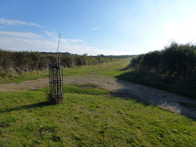
Claypit Plantation is a picturesque woodland located in Norfolk, England. Covering an area of approximately 100 acres, this beautiful plantation is known for its diverse range of trees and wildlife, making it a popular destination for nature enthusiasts and hikers alike.
The woodland is primarily composed of mixed deciduous trees, including oak, beech, and birch, creating a vibrant tapestry of colors throughout the seasons. The dense canopy provides a habitat for a variety of bird species, such as woodpeckers, owls, and thrushes, making it an ideal spot for birdwatching.
The plantation also boasts several walking trails that wind through the woodland, allowing visitors to explore its natural beauty at their own pace. These trails are well-maintained, with signposts and markers indicating points of interest, including a small pond and a grove of ancient trees.
One of the most notable features of Claypit Plantation is its historic clay pit, from which the plantation derives its name. This former clay extraction site has now been reclaimed by nature and forms a unique landscape within the woodland, with small pools and mounds of clay enhancing its charm.
Visitors to Claypit Plantation can also enjoy a picnic area near the entrance, complete with benches and tables. The plantation is easily accessible, with ample parking available, making it an ideal destination for a day trip or a leisurely stroll in nature.
Overall, Claypit Plantation offers a serene and tranquil retreat, where visitors can immerse themselves in the beauty of Norfolk's woodlands and experience the wonders of nature.
If you have any feedback on the listing, please let us know in the comments section below.
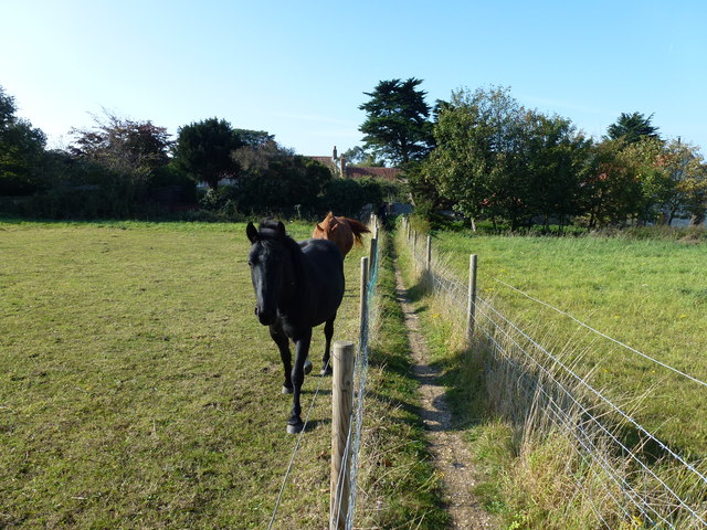
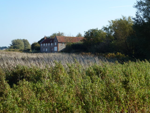
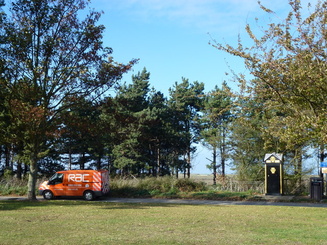
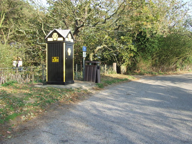
Claypit Plantation Images
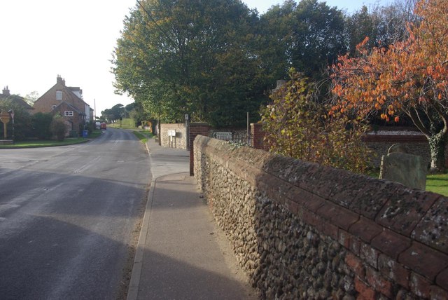
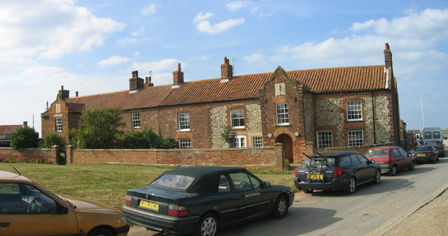
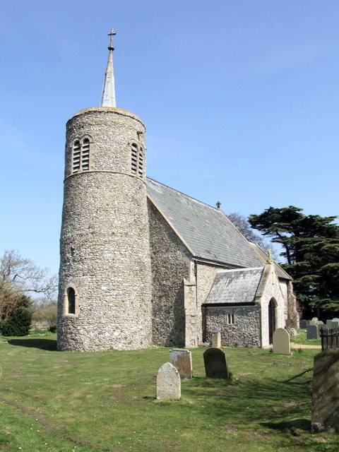
Images are sourced within 2km of 52.950165/0.65261539 or Grid Reference TF7842. Thanks to Geograph Open Source API. All images are credited.


Claypit Plantation is located at Grid Ref: TF7842 (Lat: 52.950165, Lng: 0.65261539)
Administrative County: Norfolk
District: King's Lynn and West Norfolk
Police Authority: Norfolk
What 3 Words
///pitchers.shunning.life. Near Hunstanton, Norfolk
Related Wikis

Branodunum
Branodunum was an ancient Roman fort to the east of the modern English village of Brancaster in Norfolk. Its Roman name derives from the local Celtic language...

Brancaster
Brancaster is a village and civil parish on the north coast of the English county of Norfolk. The civil parish of Brancaster comprises Brancaster itself...
Brancaster Staithe
Brancaster Staithe is a village on the north coast of the English county of Norfolk. Brancaster Staithe merges with Burnham Deepdale, forming one village...
Titchwell
Titchwell is a village and civil parish in Norfolk, England. It is situated on the north Norfolk coast some 2 km (1.2 mi) west of the village of Brancaster...

St Mary's Church, Burnham Deepdale
St Mary's Church is a round-tower church in Burnham Deepdale, Norfolk, England. Its round tower and some other parts of the building date from the 11th...

Royal West Norfolk Golf Club
Royal West Norfolk Golf Club is a golf club in Brancaster, Norfolk, England, about 7 miles (11 km) east of Hunstanton, between Brancaster Bay and the salt...

RAF Docking
Royal Air Force Docking or more simply RAF Docking is a former Royal Air Force satellite station a few miles from Bircham Newton in Norfolk, England....

Titchwell Marsh
Titchwell Marsh is an English nature reserve owned and managed by the Royal Society for the Protection of Birds (RSPB). Located on the north coast of the...
Have you been to Claypit Plantation?
Leave your review of Claypit Plantation below (or comments, questions and feedback).