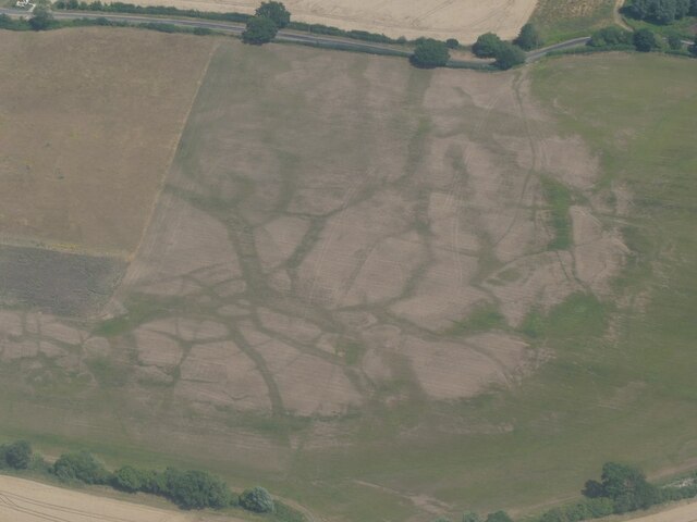
Braintree Wood
Wood, Forest in Essex Braintree
England
Braintree Wood
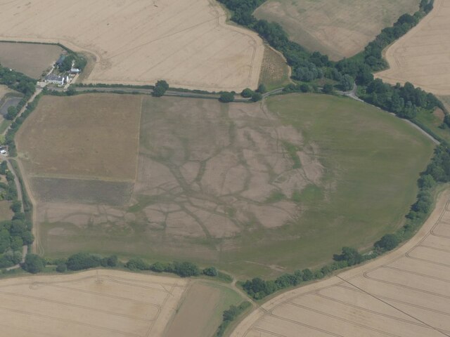
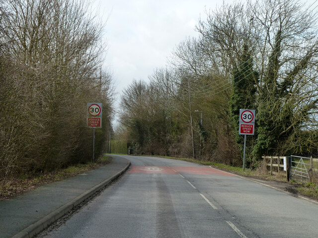
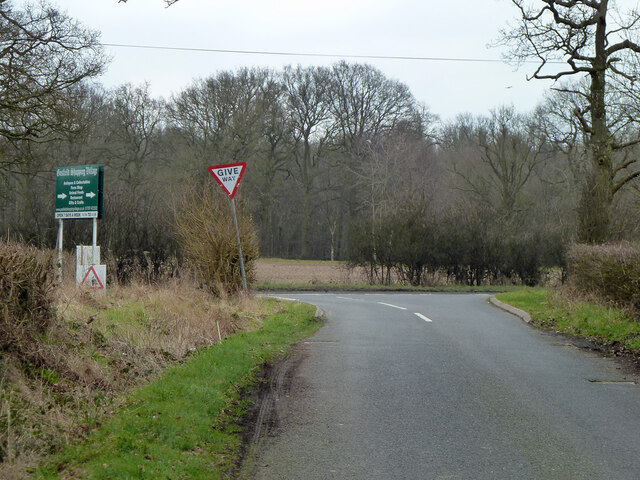
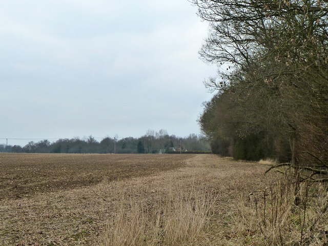
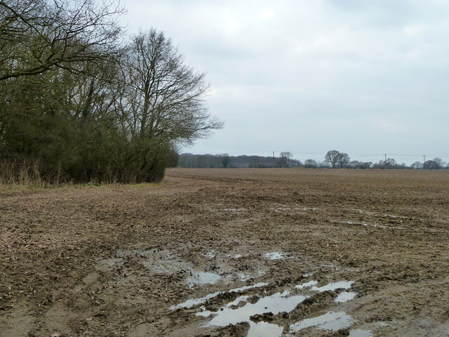
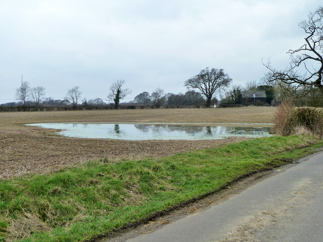
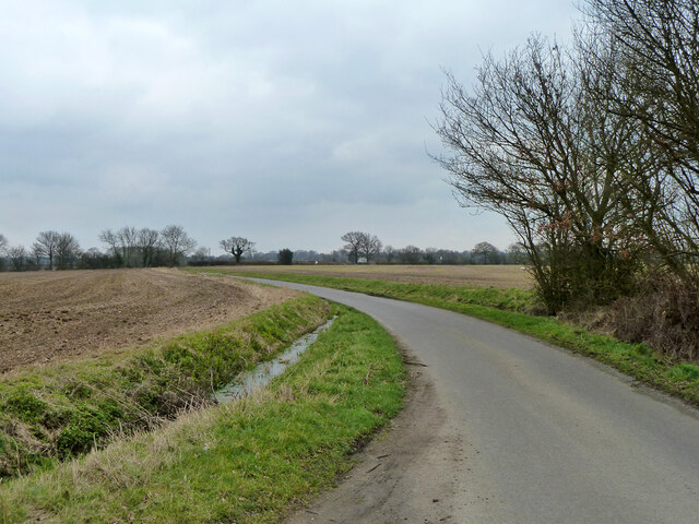
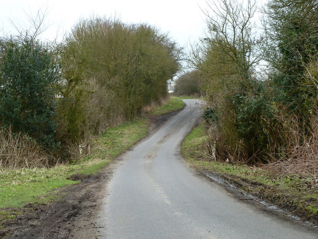
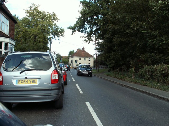
Braintree Wood, located in Essex, England, is a picturesque and expansive forest that spans over a vast area. It is a popular destination for nature lovers, hikers, and wildlife enthusiasts. The wood is situated near the town of Braintree and is easily accessible by road.
This woodland is known for its diverse range of tree species, including oak, beech, and birch. The dense canopy provides a cool and shaded environment, making it a perfect spot for a leisurely stroll on a hot summer day. The wood is also home to a variety of wildlife, such as deer, foxes, and numerous bird species, making it a haven for birdwatchers.
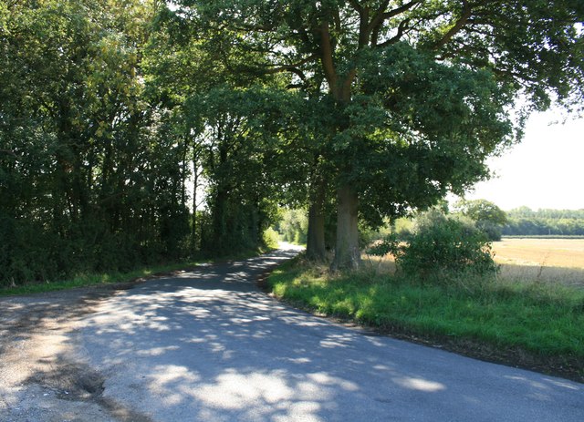
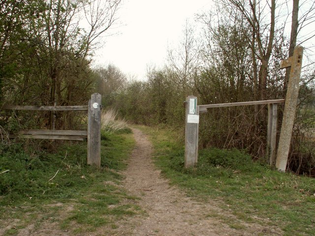
Braintree Wood offers several walking trails that cater to all levels of fitness and interest. Some paths wind through ancient woodlands, while others venture into open fields, offering stunning views of the surrounding countryside. The wood is well-maintained, with clear signposts and markers, ensuring visitors can navigate their way easily.
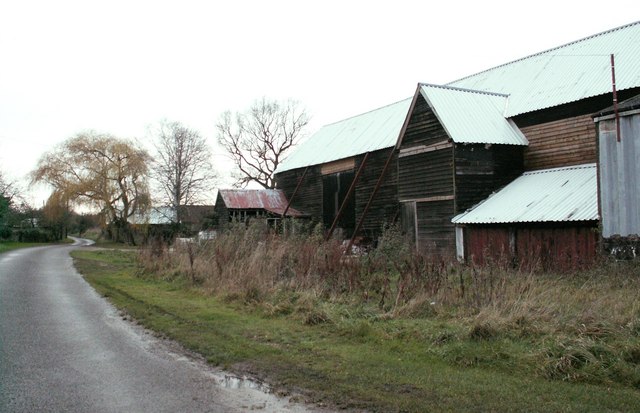
In addition to its natural beauty, Braintree Wood has historical significance. It is believed to have been part of the ancient Hatfield Forest, which dates back to medieval times. The wood has witnessed centuries of human activities, and remnants of old structures can still be found within its boundaries.
Overall, Braintree Wood is a charming destination that offers a tranquil escape from the hustle and bustle of everyday life. With its abundant wildlife, captivating landscapes, and rich history, it is a must-visit for anyone seeking a peaceful retreat in the heart of Essex.
If you have any feedback on the listing, please let us know in the comments section below.
Braintree Wood Images
Images are sourced within 2km of 51.911629/0.59421102 or Grid Reference TL7826. Thanks to Geograph Open Source API. All images are credited.


Braintree Wood is located at Grid Ref: TL7826 (Lat: 51.911629, Lng: 0.59421102)
Administrative County: Essex
District: Braintree
Police Authority: Essex
What 3 Words
///unique.sunk.theme. Near Gosfield, Essex
Nearby Locations
Related Wikis
High Garrett
High Garrett is a hamlet on the A131 road near the town of Braintree, Essex, England. In 2018 the settlement had an estimated population of 814. ��2�...

Bocking Windmill
Bocking Windmill or Bocking Churchstreet Windmill is a grade I listed post mill at Bocking, Essex, England which has been restored. == History == Although...
Belcher's and Broadfield Woods
Belcher's and Broadfield Woods is a 14.4-hectare (36-acre) biological Site of Special Scientific Interest between Halstead and Braintree in Essex. It is...

Gosfield
Gosfield is a village in the Braintree district of Essex, England. It is located around two miles west of the town of Halstead. Places of note include...

Tumbler's Green
Tumbler's Green is a hamlet near the towns of Halstead and Braintree in the Braintree district, in the English county of Essex. Other nearby settlements...

Gosfield Sandpits
Gosfield Sandpits is an 8.3 hectare Local Nature Reserve in Gosfield, north of Braintree in Essex. It is owned by Gosfield Parish Council, and managed...
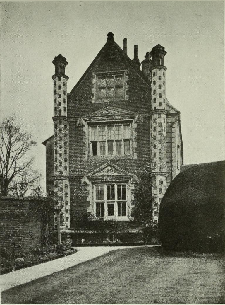
Doreward's Hall
Doreward's Hall is a partly brick and partly timber-framed and plastered house in Bocking, Essex, England. The house is said to have been rebuilt by Edward...
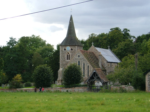
Stisted
Stisted is a civil parish, Church of England parish, and former manor near Braintree, Essex, England. Andrew Motion, a former Poet Laureate, was raised...
Nearby Amenities
Located within 500m of 51.911629,0.59421102Have you been to Braintree Wood?
Leave your review of Braintree Wood below (or comments, questions and feedback).