Pond Croft
Wood, Forest in Essex Braintree
England
Pond Croft
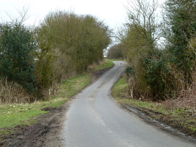
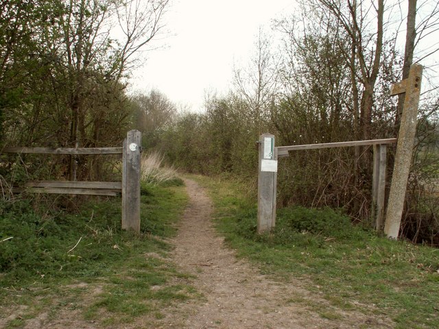
Pond Croft is a picturesque village located in the county of Essex, England. Situated within the tranquil woodland of Epping Forest, this idyllic settlement offers residents and visitors a serene escape from the hustle and bustle of city life.
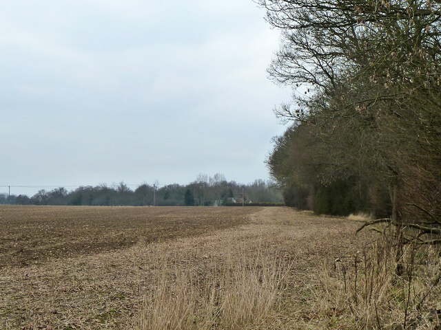
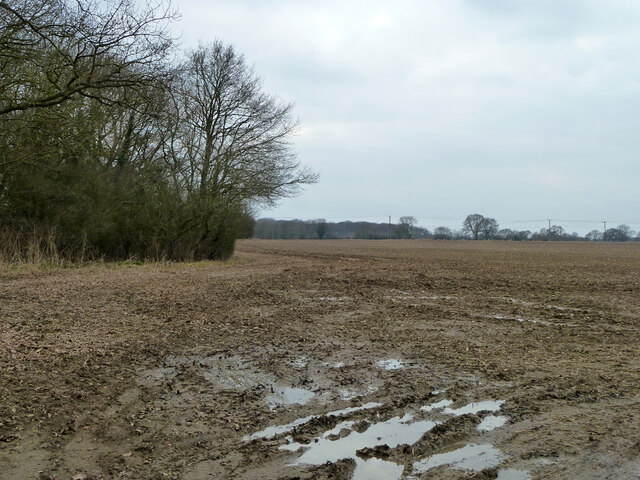
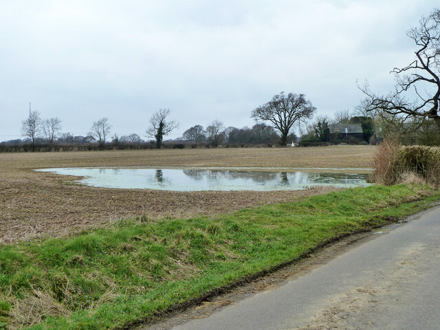
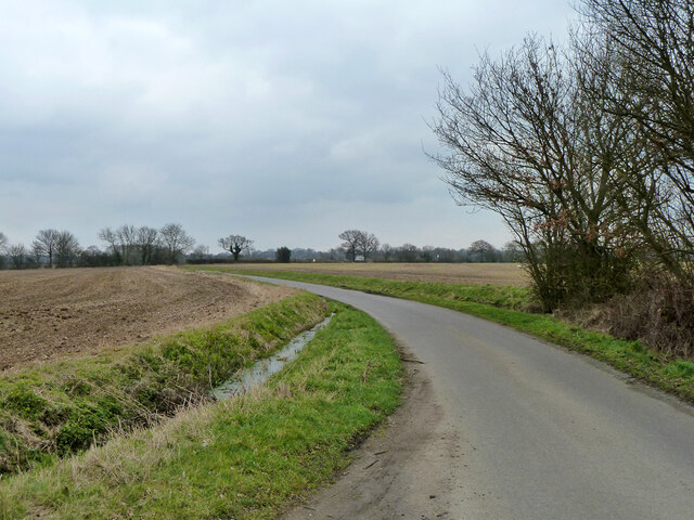
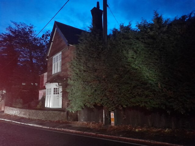
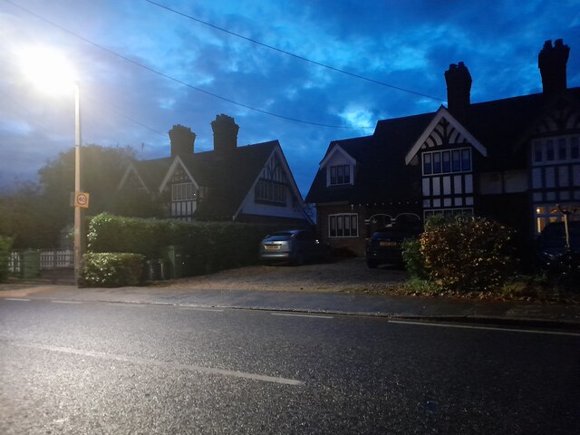
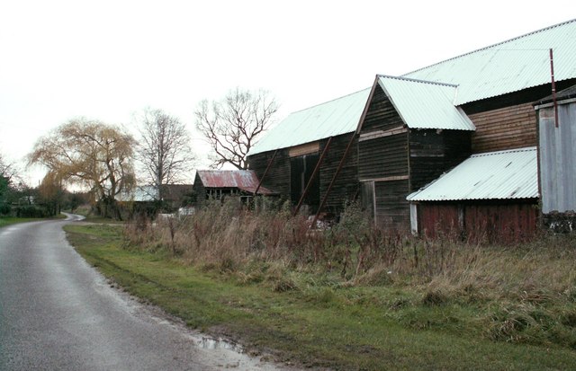
Nestled among a lush green landscape, Pond Croft is characterized by its charming wooden houses and cottages, which seamlessly blend into the natural surroundings. The village takes its name from the numerous ponds that dot the area, providing a haven for local wildlife and adding to its scenic beauty.
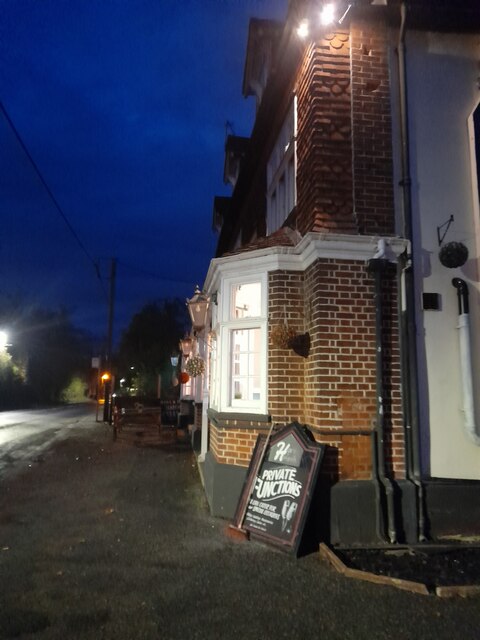
The community of Pond Croft is closely-knit and friendly, with a strong sense of community spirit. Residents often come together to organize events and activities, fostering a warm and welcoming atmosphere. The village boasts several amenities, including a quaint village hall, a local shop, and a pub, where locals and visitors can enjoy traditional English fare and socialize.
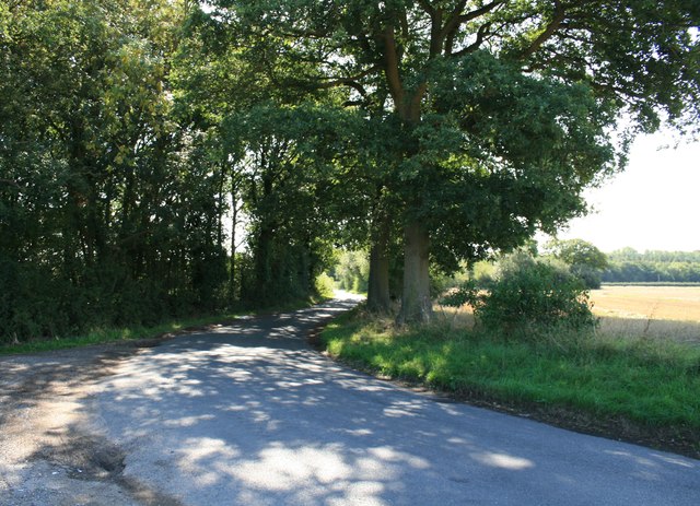
One of the main attractions of Pond Croft is its close proximity to Epping Forest. This ancient woodland, spanning over 6,000 acres, offers endless opportunities for outdoor activities such as hiking, cycling, and horse riding. With its diverse ecosystem and rich biodiversity, Epping Forest is a haven for nature enthusiasts and a popular destination for day trips.
Overall, Pond Croft, Essex is a charming village that offers a peaceful and picturesque setting amidst the beauty of Epping Forest. With its natural beauty, strong sense of community, and access to outdoor activities, Pond Croft is a truly desirable place to live or visit.
If you have any feedback on the listing, please let us know in the comments section below.
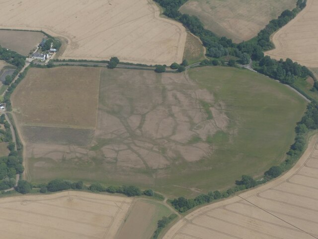
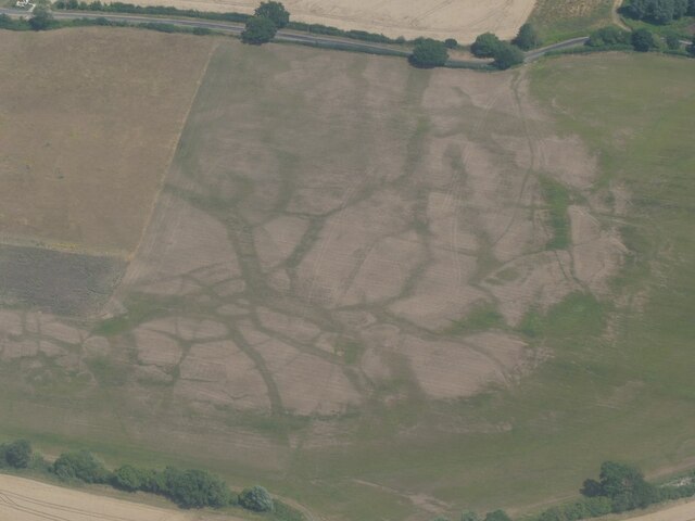
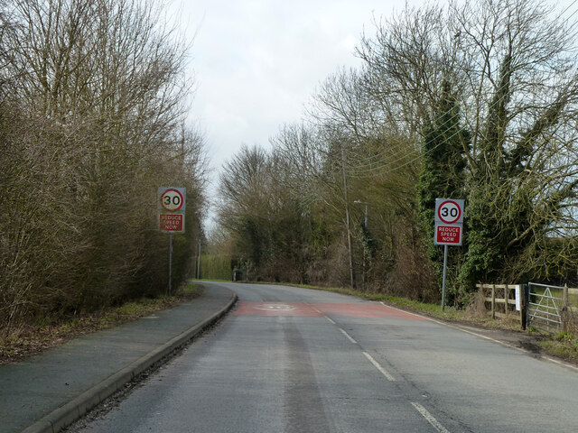
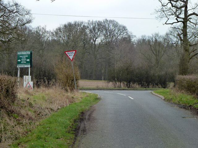
Pond Croft Images
Images are sourced within 2km of 51.911767/0.59161613 or Grid Reference TL7826. Thanks to Geograph Open Source API. All images are credited.


Pond Croft is located at Grid Ref: TL7826 (Lat: 51.911767, Lng: 0.59161613)
Administrative County: Essex
District: Braintree
Police Authority: Essex
What 3 Words
///influencing.club.broke. Near Gosfield, Essex
Nearby Locations
Related Wikis
High Garrett
High Garrett is a hamlet on the A131 road near the town of Braintree, Essex, England. In 2018 the settlement had an estimated population of 814. ��2�...

Bocking Windmill
Bocking Windmill or Bocking Churchstreet Windmill is a grade I listed post mill at Bocking, Essex, England which has been restored. == History == Although...

Gosfield
Gosfield is a village in the Braintree district of Essex, England. It is located around two miles west of the town of Halstead. Places of note include...
Doreward's Hall
Doreward's Hall is a partly brick and partly timber-framed and plastered house in Bocking, Essex, England. The house is said to have been rebuilt by Edward...
Belcher's and Broadfield Woods
Belcher's and Broadfield Woods is a 14.4-hectare (36-acre) biological Site of Special Scientific Interest between Halstead and Braintree in Essex. It is...

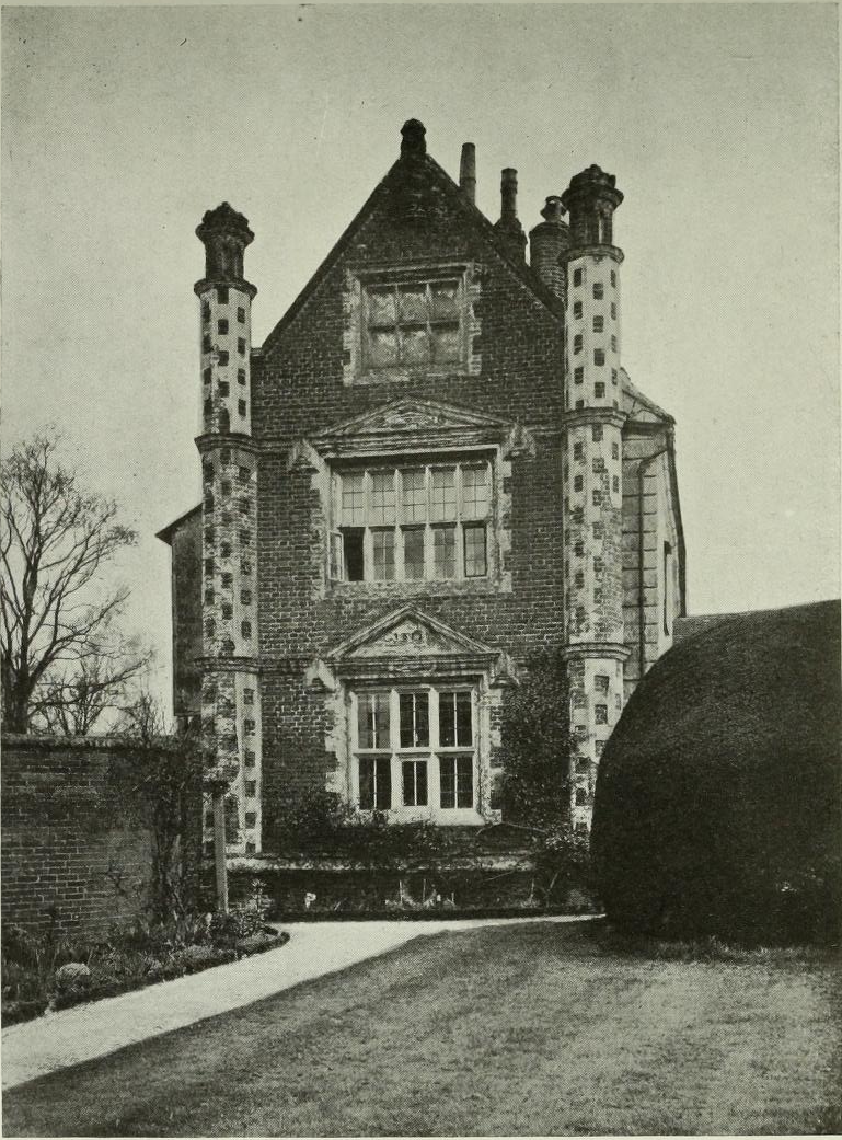
Gosfield Hall
Gosfield Hall is a country house in Gosfield, near Braintree in Essex, England. It is a Grade I listed building. The house was built in 1545 by Sir John...

Gosfield Sandpits
Gosfield Sandpits is an 8.3 hectare Local Nature Reserve in Gosfield, north of Braintree in Essex. It is owned by Gosfield Parish Council, and managed...

Tumbler's Green
Tumbler's Green is a hamlet near the towns of Halstead and Braintree in the Braintree district, in the English county of Essex. Other nearby settlements...
Nearby Amenities
Located within 500m of 51.911767,0.59161613Have you been to Pond Croft?
Leave your review of Pond Croft below (or comments, questions and feedback).