Tumbleyhill Plantation

Wood, Forest in Norfolk King's Lynn and West Norfolk

England

Tumbleyhill Plantation

The West Acre Theatre "River Studios" held their art exhibition here in May 2011.
The West Acre Theatre Credit: Elliott Simpson

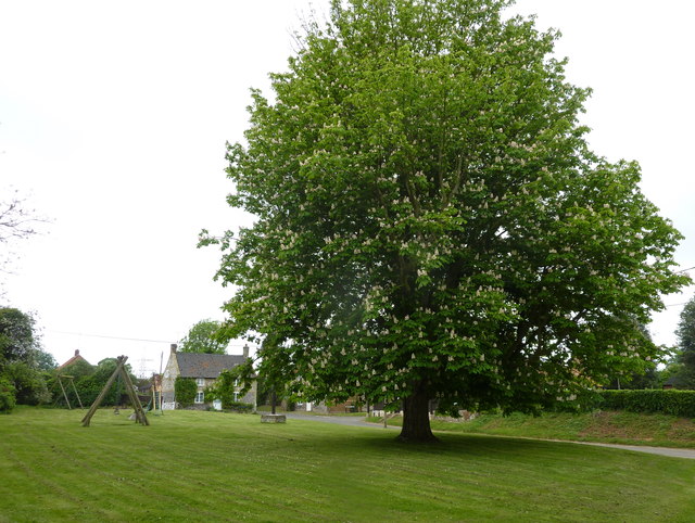
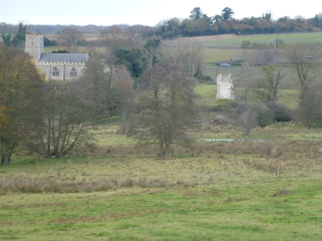
Tumbleyhill Plantation, located in Norfolk, is an expansive woodland area encompassing a total area of approximately 500 acres. This picturesque plantation is known for its lush green forest and serene surroundings, making it a popular destination for nature enthusiasts and outdoor lovers alike.

The plantation is characterized by its diverse range of tree species, including oak, birch, beech, and pine, which create a vibrant and vibrant canopy that stretches as far as the eye can see. The forest floor is adorned with an array of wildflowers and ferns, adding to the natural beauty of the area.

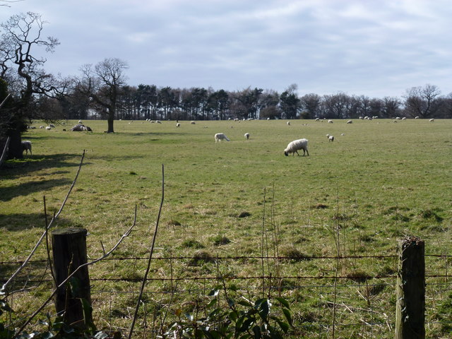
Tumbleyhill Plantation is also home to an abundance of wildlife, providing a haven for various animal species. Visitors may encounter deer, foxes, squirrels, and a vast array of bird species, making it an excellent location for birdwatching and wildlife observation.

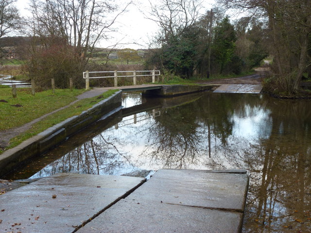
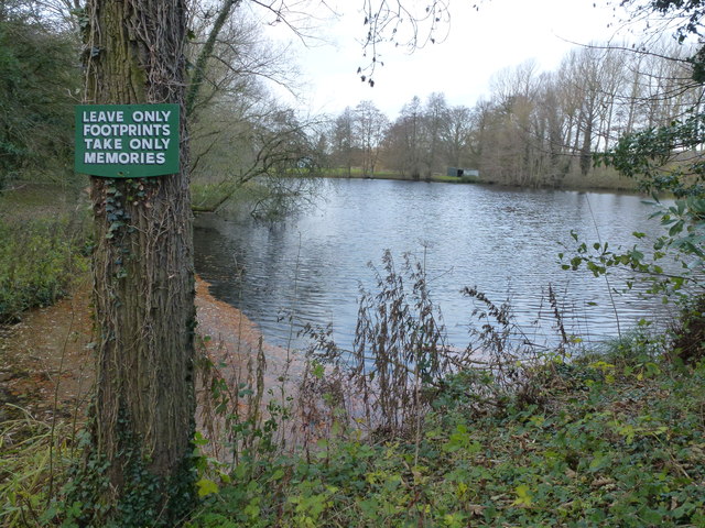
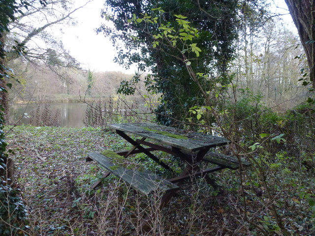
The plantation offers numerous walking trails and paths, allowing visitors to explore the woodland at their own pace. These trails range from easy strolls to more challenging hikes, catering to individuals of all fitness levels. Along the way, visitors may come across babbling brooks, hidden ponds, and secluded picnic spots, perfect for a peaceful escape from the hustle and bustle of city life.

Tumbleyhill Plantation, with its natural beauty and tranquil atmosphere, offers a serene retreat for those seeking to reconnect with nature. Whether it's a leisurely walk through the woods or a day spent exploring the diverse wildlife, this Norfolk woodland is a true gem for outdoor enthusiasts.

If you have any feedback on the listing, please let us know in the comments section below.

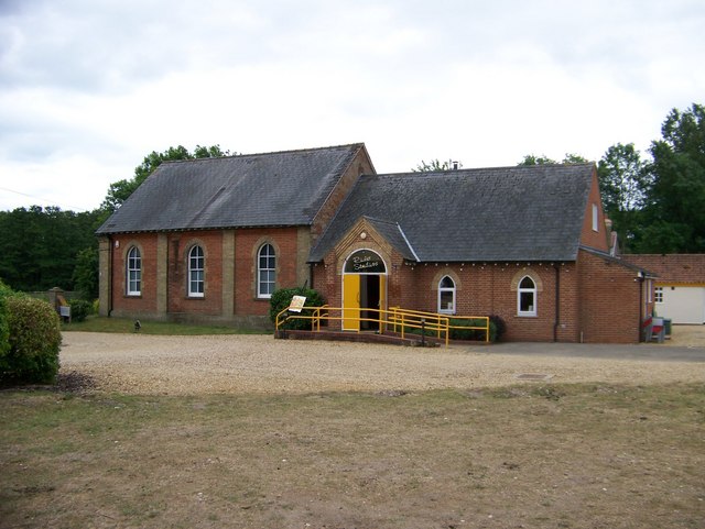
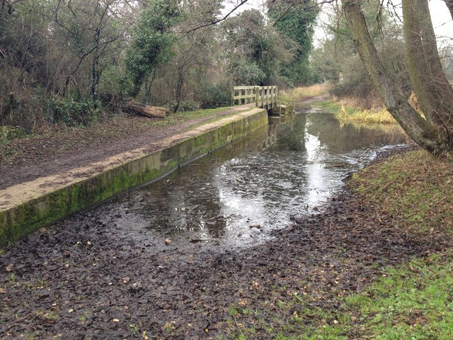
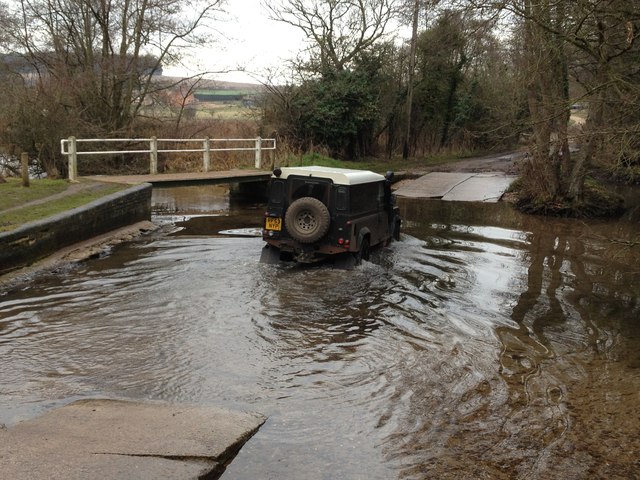
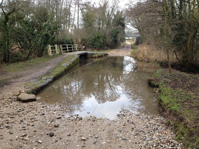
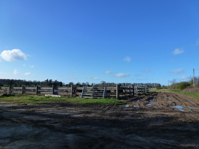
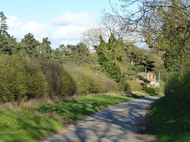
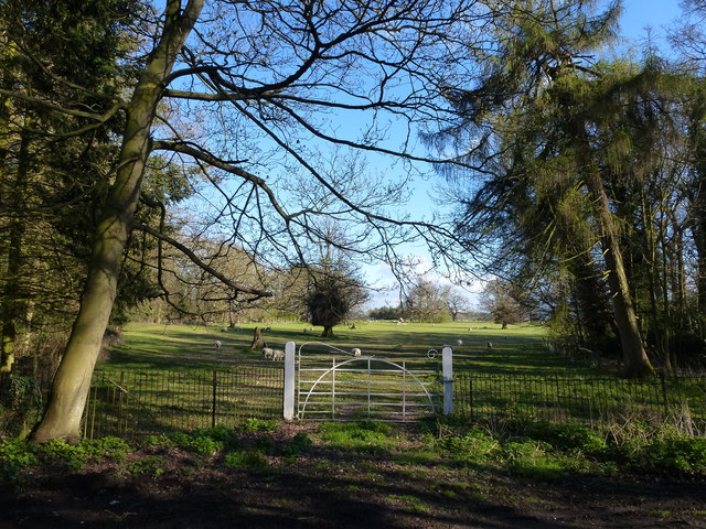
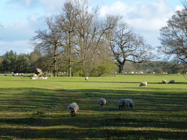
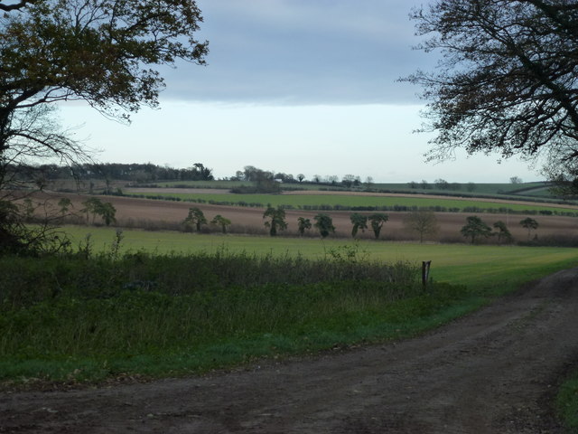
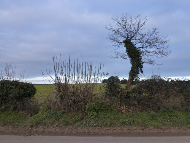
Tumbleyhill Plantation Images

Images are sourced within 2km of 52.7159/0.63671583 or Grid Reference TF7816. Thanks to Geograph Open Source API. All images are credited.

The West Acre Theatre "River Studios" held their art exhibition here in May 2011.
The West Acre Theatre
"River Studios" held their art exhibition here in May 2011.
Ford on the Nar Valley Way, West Acre This ford is found on the edge of West Acre on the River Nar and the footpath forms part of the Nar Valley Way.
Ford on the Nar Valley Way, West Acre
This ford is found on the edge of West Acre on the River Nar and the footpath forms part of the Nar Valley Way.
Ford on the Nar Valley Way This ford is found on the Nar Valley Way between West Acre and Castle Acre. There is a second ford a few yards north over a drainage ditch.
<span class="nowrap"><a title="http://www.youtube.com/watch?v=dgi2pzmdFBE&feature=youtu.be" rel="nofollow ugc noopener" href="http://www.youtube.com/watch?v=dgi2pzmdFBE&feature=youtu.be">Link</a><img style="margin-left:2px;" alt="External link" title="External link - shift click to open in new window" src="https://s1.geograph.org.uk/img/external.png" width="10" height="10"/></span>
Ford on the Nar Valley Way
This ford is found on the Nar Valley Way between West Acre and Castle Acre. There is a second ford a few yards north over a drainage ditch. LinkExternal link
Ford on road north from South Acre This ford is over a drainage ditch and lies just north of the ford on the River Nar on the road north from South Acre.
Ford on road north from South Acre
This ford is over a drainage ditch and lies just north of the ford on the River Nar on the road north from South Acre.
Cattle yard near Soigne Farm, West Acre, Norfolk
Distant cottages at the end of the lane Looking east along an unnamed lane leading from Soigne Farm, West Acre, Norfolk
Distant cottages at the end of the lane
Looking east along an unnamed lane leading from Soigne Farm, West Acre, Norfolk
Gateway to parkland around High House, West Acre
Sheep in the grounds of High House, West Acre
Tree next to Church Green at West Acre A fine example of Aesculus hippocastanum or horse chestnut. The children's playground is in the background and the church is to the east of the tree.
Tree next to Church Green at West Acre
A fine example of Aesculus hippocastanum or horse chestnut. The children's playground is in the background and the church is to the east of the tree.
All Saints church,West Acre The 14th century priory gatehouse is to the left of the photograph.
All Saints church,West Acre
The 14th century priory gatehouse is to the left of the photograph.
Grazing sheep near High House, West Acre Pasture on the southern part of the extensive parkland surrounding High House, see <span class="nowrap"><a title="http://www.britishlistedbuildings.co.uk/en-221920-high-house-west-acre-norfolk" rel="nofollow ugc noopener" href="http://www.britishlistedbuildings.co.uk/en-221920-high-house-west-acre-norfolk">Link</a><img style="margin-left:2px;" alt="External link" title="External link - shift click to open in new window" src="https://s1.geograph.org.uk/img/external.png" width="10" height="10"/></span>
Grazing sheep near High House, West Acre
Pasture on the southern part of the extensive parkland surrounding High House, see LinkExternal link
A rabbit's eye view of Norfolk farmland Emerging cereal crop alongside the parkland of High House, West Acre
A rabbit's eye view of Norfolk farmland
Emerging cereal crop alongside the parkland of High House, West Acre
Priory remains in The Nar Valley Pasture and parkland south of West Acre
Priory remains in The Nar Valley
Pasture and parkland south of West Acre
Footbridge and ford crossing The River Nar near West Acre
LEAVE ONLY FOOTPRINTS TAKE ONLY MEMORIES A private lake alongside The River Nar between West Acre and South Acre in Norfolk
LEAVE ONLY FOOTPRINTS TAKE ONLY MEMORIES
A private lake alongside The River Nar between West Acre and South Acre in Norfolk
Lakeside picnic area between West Acre and South Acre This picnic bench appears to be slowly rotting away on the edge of this lake next to The River Nar in Norfolk.
Lakeside picnic area between West Acre and South Acre
This picnic bench appears to be slowly rotting away on the edge of this lake next to The River Nar in Norfolk.
Track down Tumbley Hill near West Acre
Mixed hedgerow near West Acre
Show me another place!

Tumbleyhill Plantation is located at Grid Ref: TF7816 (Lat: 52.7159, Lng: 0.63671583)

Administrative County: Norfolk

District: King's Lynn and West Norfolk

Police Authority: Norfolk

What 3 Words

///flat.swinging.fulfilled. Near Narborough, Norfolk

Related Wikis

West Acre

West Acre is a village and civil parish in the King's Lynn and West Norfolk district of the county of Norfolk, England. It covers an area of 14.49 km2...

West Acre Priory

West Acre Priory of St. Mary and All Saints was a medieval monastic house at West Acre in the King's Lynn and West Norfolk district of Norfolk, England...

Castle Acre Common

Castle Acre Common is a 17.8-hectare (44-acre) biological Site of Special Scientific Interest east of King's Lynn in Norfolk.This unimproved grazing marsh...

Peddars Way

The Peddars Way is a long distance footpath that passes through Suffolk and Norfolk, England. == Route == The Peddars Way is 46 miles (74 km) long and...

Narford

Narford is situated in the Breckland District of Norfolk and covers an area of 970 hectares (3.75 square miles). Narford village has all but disappeared...

South Acre

South Acre is a village and civil parish in the English county of Norfolk. The village has almost disappeared, but the remnants are located about 1 km...

Castle Acre Priory

Castle Acre Priory was a Cluniac priory in the village of Castle Acre, Norfolk, England, dedicated to St Mary, St Peter, and St Paul. It is thought to...

Castle Acre

Castle Acre is a village and civil parish in the English county of Norfolk. The village is situated on the River Nar some 4 miles (6.4 km) north of the...

Nearby Amenities

Located within 500m of 52.7159,0.63671583
Give Way
Lat/Long: 52.7119861/0.6360885
Colour: red and white
Marker: aerial
Material: plastic
Utility: gas
Lat/Long: 52.7182082/0.6381035
Colour: red
Marker: post
Material: plastic
Utility: gas
Lat/Long: 52.7182082/0.6381003
Colour: red
Marker: post
Material: concrete
Utility: gas
Lat/Long: 52.7182033/0.637986
The data included in this document is from www.openstreetmap.org. The data is made available under ODbL.

Have you been to Tumbleyhill Plantation?

Leave your review of Tumbleyhill Plantation below (or comments, questions and feedback).