Hart's Wood
Wood, Forest in Norfolk King's Lynn and West Norfolk
England
Hart's Wood

The requested URL returned error: 429 Too Many Requests
If you have any feedback on the listing, please let us know in the comments section below.
Hart's Wood Images
Images are sourced within 2km of 52.779577/0.64056481 or Grid Reference TF7823. Thanks to Geograph Open Source API. All images are credited.


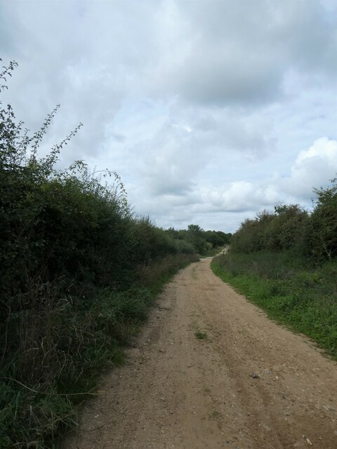


Hart's Wood is located at Grid Ref: TF7823 (Lat: 52.779577, Lng: 0.64056481)
Administrative County: Norfolk
District: King's Lynn and West Norfolk
Police Authority: Norfolk
What 3 Words
///laser.blackmail.trouble. Near Grimston, Norfolk
Nearby Locations
Related Wikis

KL.FM 96.7
KL.FM 96.7 (King's Lynn FM) was an Independent Local Radio station located in King's Lynn, Norfolk, England. It broadcast from a former bank building at...
Little Massingham
Little Massingham is a small village and civil parish in the English county of Norfolk. It is located on the northern boundary of Great Massingham. It...

Great Massingham
Great Massingham is a village and civil parish in the English county of Norfolk. It has a primary school (including a pre-school in the grounds), a village...
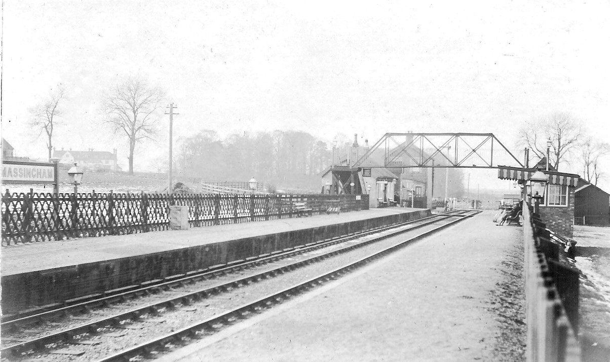
Massingham railway station
Massingham railway station is a now closed railway station in North Norfolk. It was situated at Little Massingham and was on the line between South Lynn...
Nearby Amenities
Located within 500m of 52.779577,0.64056481Have you been to Hart's Wood?
Leave your review of Hart's Wood below (or comments, questions and feedback).