Templeborder Wood
Wood, Forest in Essex Braintree
England
Templeborder Wood
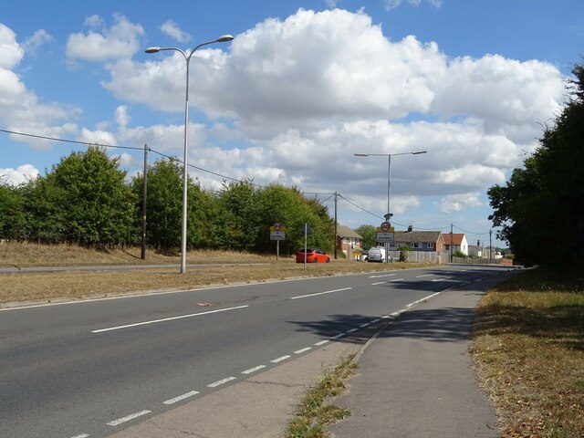
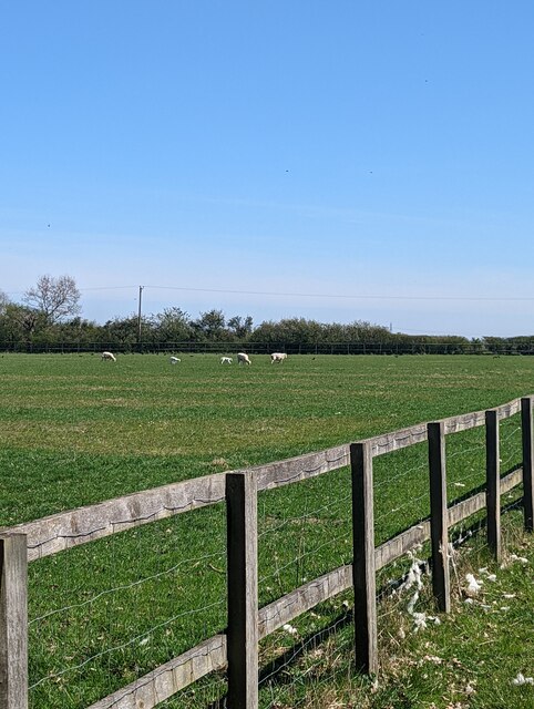
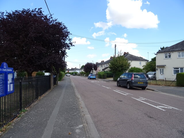
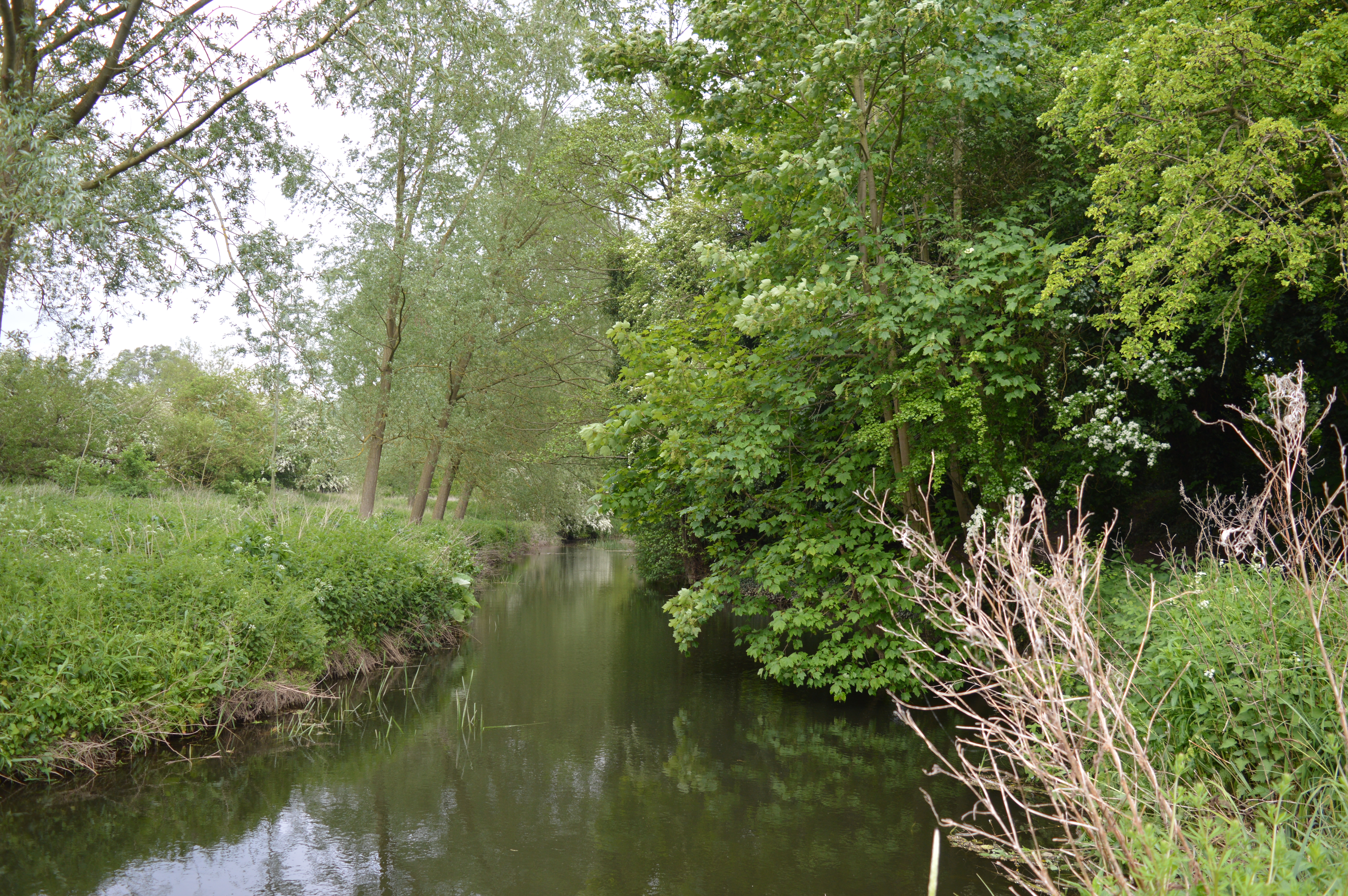
Templeborder Wood is a serene and picturesque woodland located in Essex, England. Covering an area of approximately 100 acres, this beautiful forest is nestled between the villages of Templeborder and Great Dunmow.
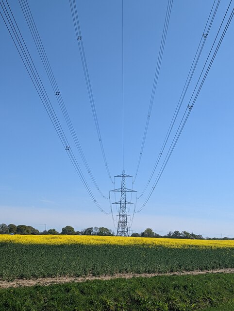
The woodland is predominantly made up of a mix of broadleaf and coniferous trees, including oak, beech, birch, and pine. These trees create a dense canopy, providing shade and shelter for a diverse range of flora and fauna. The forest floor is covered in a thick layer of fallen leaves and moss, creating a soft carpet-like feel underfoot.
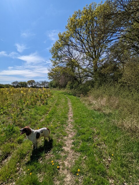
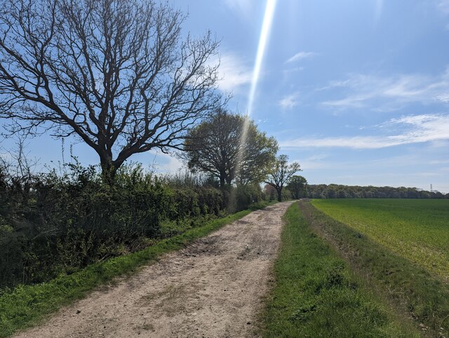
Visitors to Templeborder Wood can enjoy a network of well-maintained footpaths that wind their way through the forest, allowing for leisurely walks and hikes. The paths are clearly signposted, making it easy to navigate and explore the woodland.
Wildlife enthusiasts will be delighted to know that the wood is home to a variety of animals, including deer, foxes, badgers, and numerous bird species. The tranquil atmosphere of the forest makes it an ideal spot for birdwatching and wildlife photography.
In addition to its natural beauty, Templeborder Wood also holds historical significance. It is believed that the woodland was once part of the hunting grounds for the medieval Knights Templar, hence the name "Templeborder." Remnants of ancient stone structures and foundations can still be found within the forest, adding to its intriguing charm.
Overall, Templeborder Wood is a captivating woodland that offers a peaceful escape from the hustle and bustle of everyday life. Whether you are a nature lover, history enthusiast, or simply seeking tranquility, this forest is a hidden gem waiting to be explored.
If you have any feedback on the listing, please let us know in the comments section below.
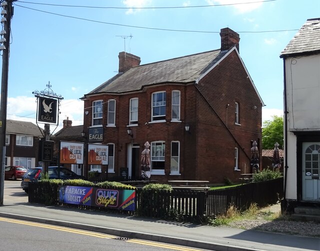
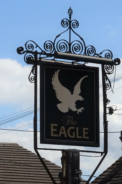
Templeborder Wood Images
Images are sourced within 2km of 51.877523/0.58746625 or Grid Reference TL7823. Thanks to Geograph Open Source API. All images are credited.

Templeborder Wood is located at Grid Ref: TL7823 (Lat: 51.877523, Lng: 0.58746625)
Administrative County: Essex
District: Braintree
Police Authority: Essex
What 3 Words
///throw.calculating.beats. Near Rayne, Essex
Nearby Locations
Related Wikis

Cressing Road
Cressing Road, also known as the Rare Breed Meat Co. Stadium for sponsorship purposes, is a football stadium in Braintree, Essex, and the home ground of...
Alec Hunter Academy
Alec Hunter Academy (formerly The Alec Hunter County Secondary School for Boys and Girls, Alec Hunter Comprehensive School, Alec Hunter High School and...
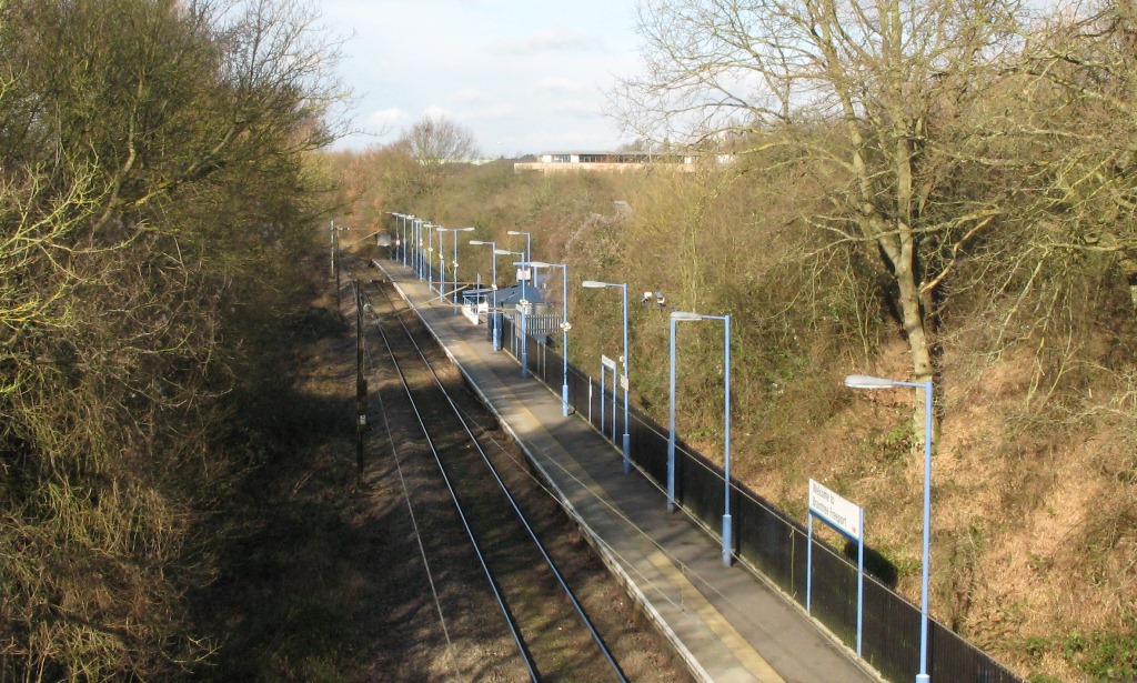
Braintree Freeport railway station
Braintree Freeport railway station is on the Braintree Branch Line in the East of England, serving the Braintree Village shopping centre (formerly known...
Bocking Blackwater
Bocking Blackwater is a 13.1 hectare Local Nature Reserve in Braintree in Essex. It is owned and managed by Braintree District Council. In 2016 the council...
Tye Green
Tye Green is a village in the civil parish of Cressing and the Braintree district of Essex, England. In 2018, it had an estimated population of 1,114....
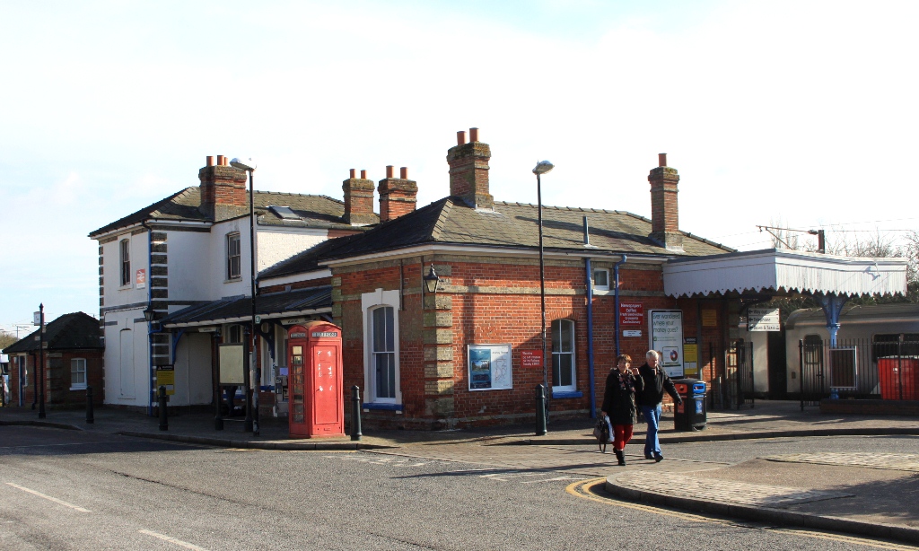
Braintree railway station (England)
Braintree railway station is the northern terminus of the Braintree Branch Line in the East of England, serving the town of Braintree, Essex. It is 44...

Chapel of the Immaculate Conception, Franciscan Convent
The Chapel of the Immaculate Conception, Franciscan Convent is a Roman Catholic chapel run by the Missionary Franciscan Sisters in Bocking, Essex, England...

Cressing
Cressing is a village and civil parish in the Braintree district of Essex, England. Within the parish is the village of Tye Green and the hamlet of Hawbush...
Nearby Amenities
Located within 500m of 51.877523,0.58746625Have you been to Templeborder Wood?
Leave your review of Templeborder Wood below (or comments, questions and feedback).