Shortrow Plantation

Wood, Forest in Norfolk King's Lynn and West Norfolk

England

Shortrow Plantation

Ford on the Nar Valley Way, West Acre This ford is found on the edge of West Acre on the River Nar and the footpath forms part of the Nar Valley Way.
Ford on the Nar Valley Way, West Acre Credit: John Walton

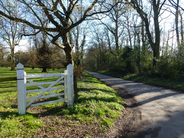
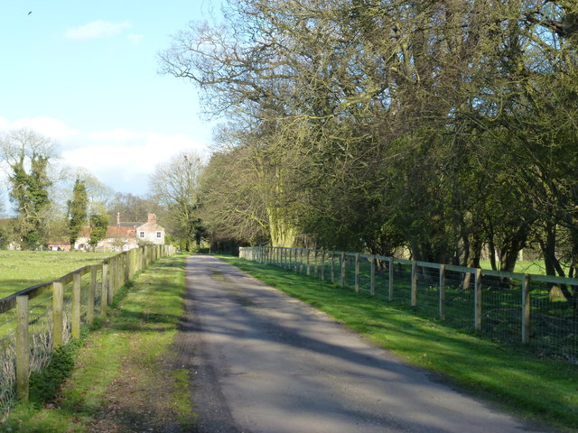
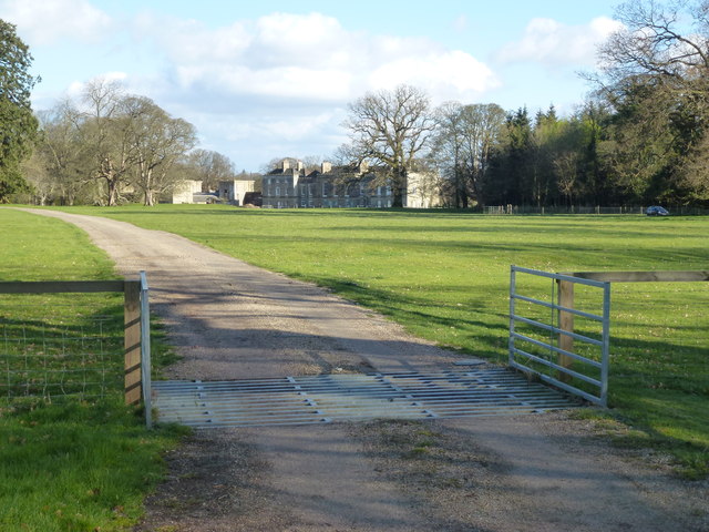
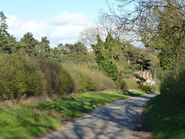
Shortrow Plantation is a picturesque woodland located in Norfolk, England. Situated in the heart of the county, this enchanting forest covers an area of approximately 500 acres, making it a significant natural attraction for both locals and visitors.

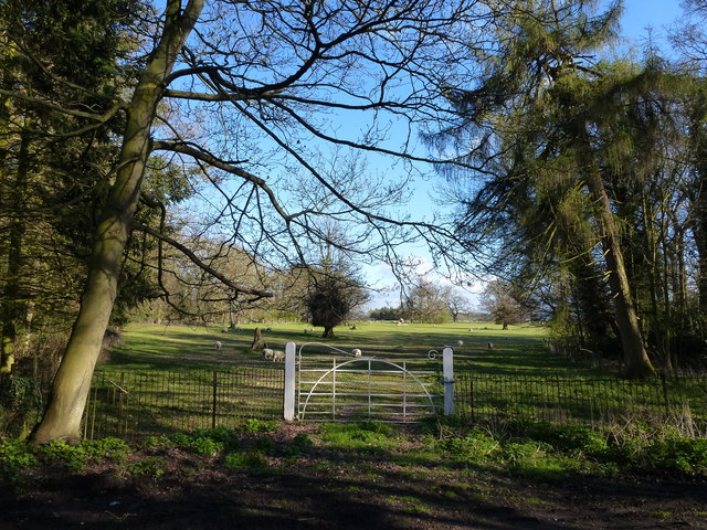
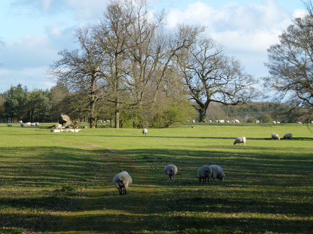
The plantation is predominantly composed of a dense mixture of mature trees, including oak, beech, and pine, which create a stunning canopy that provides shade and shelter for a rich variety of flora and fauna. The forest floor is adorned with a vibrant carpet of bluebells, wildflowers, and ferns, adding to the area's natural beauty.

Several walking trails wind their way through the plantation, allowing visitors to explore its diverse ecosystem at their own pace. These well-maintained paths offer a range of difficulty levels, catering to both casual strollers and more adventurous hikers.

Shortrow Plantation is home to a diverse range of wildlife, including deer, foxes, and an array of bird species. Nature enthusiasts and birdwatchers can often spot woodpeckers, owls, and other fascinating woodland creatures while exploring the plantation.

To preserve the natural integrity of the area, Shortrow Plantation is managed by a dedicated team of conservationists. They work tirelessly to maintain the delicate balance of the ecosystem, ensuring the continued health and sustainability of the woodland.

Overall, Shortrow Plantation provides a tranquil escape from the hustle and bustle of everyday life, offering visitors a chance to reconnect with nature and enjoy the serene beauty of Norfolk's woodlands.

If you have any feedback on the listing, please let us know in the comments section below.

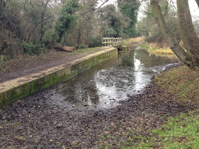
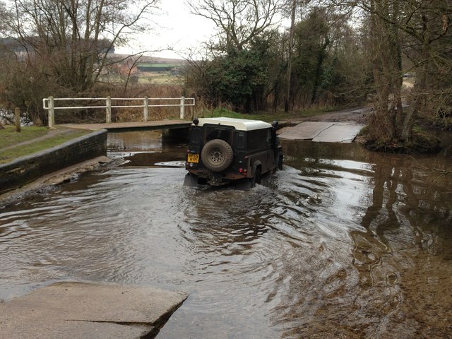
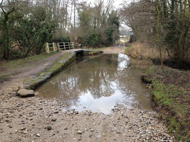
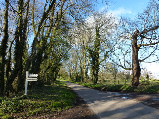
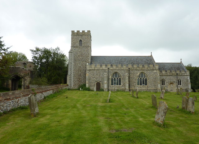
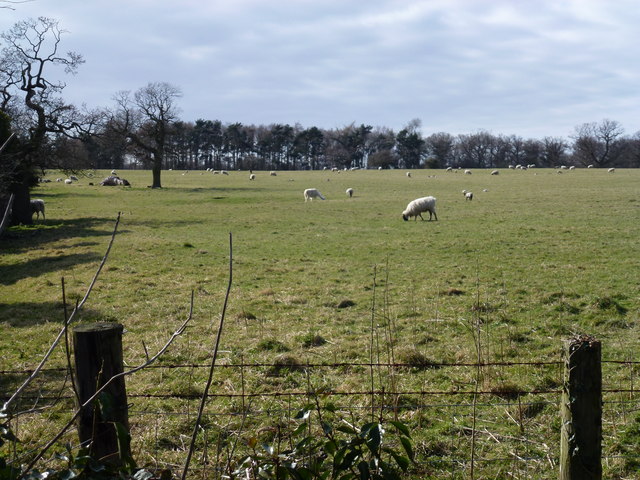
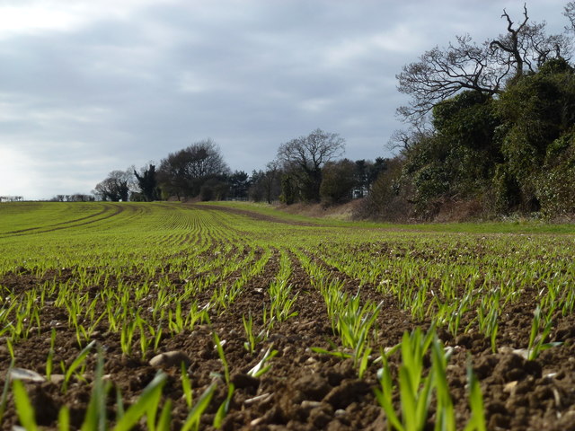
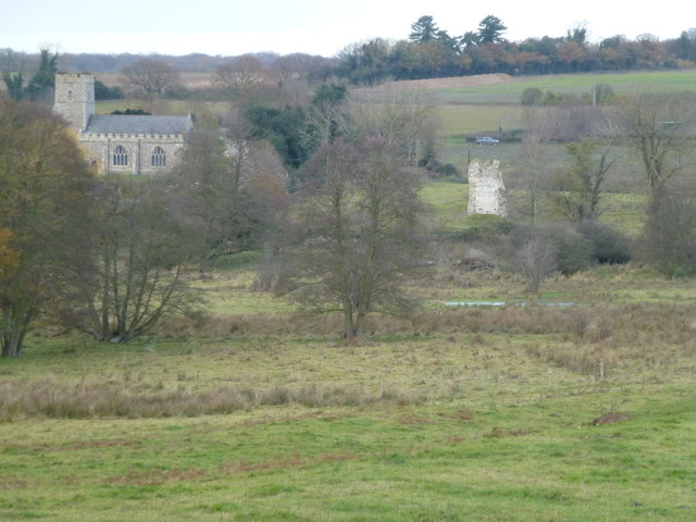
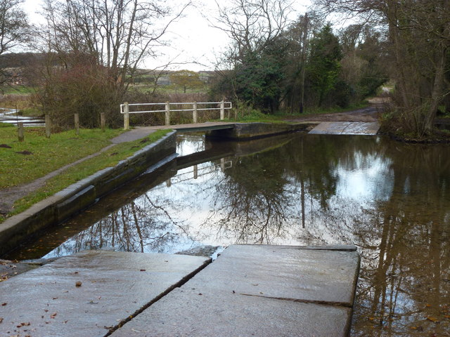
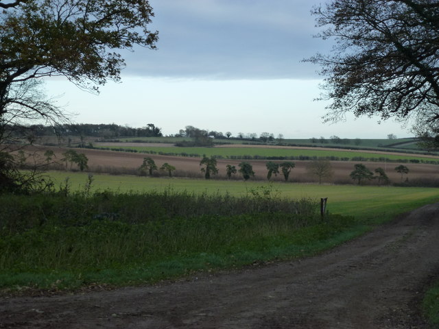
Shortrow Plantation Images

Images are sourced within 2km of 52.720097/0.63843516 or Grid Reference TF7816. Thanks to Geograph Open Source API. All images are credited.

Ford on the Nar Valley Way, West Acre This ford is found on the edge of West Acre on the River Nar and the footpath forms part of the Nar Valley Way.
Ford on the Nar Valley Way, West Acre
This ford is found on the edge of West Acre on the River Nar and the footpath forms part of the Nar Valley Way.
Ford on the Nar Valley Way This ford is found on the Nar Valley Way between West Acre and Castle Acre. There is a second ford a few yards north over a drainage ditch.
<span class="nowrap"><a title="http://www.youtube.com/watch?v=dgi2pzmdFBE&feature=youtu.be" rel="nofollow ugc noopener" href="http://www.youtube.com/watch?v=dgi2pzmdFBE&feature=youtu.be">Link</a><img style="margin-left:2px;" alt="External link" title="External link - shift click to open in new window" src="https://s1.geograph.org.uk/img/external.png" width="10" height="10"/></span>
Ford on the Nar Valley Way
This ford is found on the Nar Valley Way between West Acre and Castle Acre. There is a second ford a few yards north over a drainage ditch. LinkExternal link
Ford on road north from South Acre This ford is over a drainage ditch and lies just north of the ford on the River Nar on the road north from South Acre.
Ford on road north from South Acre
This ford is over a drainage ditch and lies just north of the ford on the River Nar on the road north from South Acre.
Sign to West Acre Gardens and Home Farm Looking north along Tumbley Hill Road NW of Castle Acre
Sign to West Acre Gardens and Home Farm
Looking north along Tumbley Hill Road NW of Castle Acre
Tumbley Hill Road near West Acre Gardens North west of Castle Acre
Tumbley Hill Road near West Acre Gardens
North west of Castle Acre
Driveway to Home Farm near West Acre, Norfolk
The angel of the Norfolk This house was purchased by the sculptor Antony Gormley, creator of the Angel of the North, in 2010. <span class="nowrap"><a title="http://www.dailymail.co.uk/news/article-1323235/Damien-Hirst-Antony-Gormley-Brit-Art-pack-live-VERY-grand-homes.html" rel="nofollow ugc noopener" href="http://www.dailymail.co.uk/news/article-1323235/Damien-Hirst-Antony-Gormley-Brit-Art-pack-live-VERY-grand-homes.html">Link</a><img style="margin-left:2px;" alt="External link" title="External link - shift click to open in new window" src="https://s1.geograph.org.uk/img/external.png" width="10" height="10"/></span>
Driveway to High House and West Acre Gardens north west of Castle Acre
(this driveway is not shown on current OS maps or Google Earth).
The angel of the Norfolk
This house was purchased by the sculptor Antony Gormley, creator of the Angel of the North, in 2010. LinkExternal link Driveway to High House and West Acre Gardens north west of Castle Acre (this driveway is not shown on current OS maps or Google Earth).
Cattle yard near Soigne Farm, West Acre, Norfolk
Distant cottages at the end of the lane Looking east along an unnamed lane leading from Soigne Farm, West Acre, Norfolk
Distant cottages at the end of the lane
Looking east along an unnamed lane leading from Soigne Farm, West Acre, Norfolk
Gateway to parkland around High House, West Acre
Sheep in the grounds of High House, West Acre
Tree next to Church Green at West Acre A fine example of Aesculus hippocastanum or horse chestnut. The children's playground is in the background and the church is to the east of the tree.
Tree next to Church Green at West Acre
A fine example of Aesculus hippocastanum or horse chestnut. The children's playground is in the background and the church is to the east of the tree.
All Saints church,West Acre The 14th century priory gatehouse is to the left of the photograph.
All Saints church,West Acre
The 14th century priory gatehouse is to the left of the photograph.
Grazing sheep near High House, West Acre Pasture on the southern part of the extensive parkland surrounding High House, see <span class="nowrap"><a title="http://www.britishlistedbuildings.co.uk/en-221920-high-house-west-acre-norfolk" rel="nofollow ugc noopener" href="http://www.britishlistedbuildings.co.uk/en-221920-high-house-west-acre-norfolk">Link</a><img style="margin-left:2px;" alt="External link" title="External link - shift click to open in new window" src="https://s1.geograph.org.uk/img/external.png" width="10" height="10"/></span>
Grazing sheep near High House, West Acre
Pasture on the southern part of the extensive parkland surrounding High House, see LinkExternal link
A rabbit's eye view of Norfolk farmland Emerging cereal crop alongside the parkland of High House, West Acre
A rabbit's eye view of Norfolk farmland
Emerging cereal crop alongside the parkland of High House, West Acre
Priory remains in The Nar Valley Pasture and parkland south of West Acre
Priory remains in The Nar Valley
Pasture and parkland south of West Acre
Footbridge and ford crossing The River Nar near West Acre
Track down Tumbley Hill near West Acre
Show me another place!

Shortrow Plantation is located at Grid Ref: TF7816 (Lat: 52.720097, Lng: 0.63843516)

Administrative County: Norfolk

District: King's Lynn and West Norfolk

Police Authority: Norfolk

What 3 Words

///charcoal.tinny.journals. Near Narborough, Norfolk

Related Wikis

West Acre

West Acre is a village and civil parish in the King's Lynn and West Norfolk district of the county of Norfolk, England. It covers an area of 14.49 km2...

West Acre Priory

West Acre Priory of St. Mary and All Saints was a medieval monastic house at West Acre in the King's Lynn and West Norfolk district of Norfolk, England...

Castle Acre Common

Castle Acre Common is a 17.8-hectare (44-acre) biological Site of Special Scientific Interest east of King's Lynn in Norfolk.This unimproved grazing marsh...

Peddars Way

The Peddars Way is a long distance footpath that passes through Suffolk and Norfolk, England. == Route == The Peddars Way is 46 miles (74 km) long and...

Nearby Amenities

Located within 500m of 52.720097,0.63843516
Colour: red and white
Marker: aerial
Utility: gas
Lat/Long: 52.7225495/0.6392478
Colour: yellow
Marker: post
Material: concrete
Utility: gas
Lat/Long: 52.7225495/0.6392437
Colour: red and white
Marker: aerial
Material: plastic
Utility: gas
Lat/Long: 52.7182082/0.6381035
Colour: red
Marker: post
Material: plastic
Utility: gas
Lat/Long: 52.7182082/0.6381003
Colour: red
Marker: post
Material: concrete
Utility: gas
Lat/Long: 52.7182033/0.637986
The data included in this document is from www.openstreetmap.org. The data is made available under ODbL.

Have you been to Shortrow Plantation?

Leave your review of Shortrow Plantation below (or comments, questions and feedback).