Eight Acre Plantation

Wood, Forest in Norfolk Breckland

England

Eight Acre Plantation

The West Acre Theatre "River Studios" held their art exhibition here in May 2011.
The West Acre Theatre Credit: Elliott Simpson

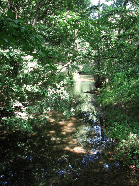
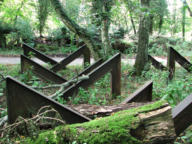
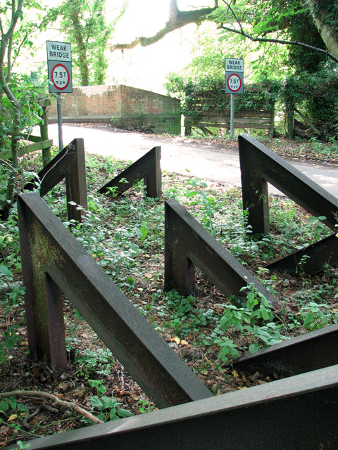
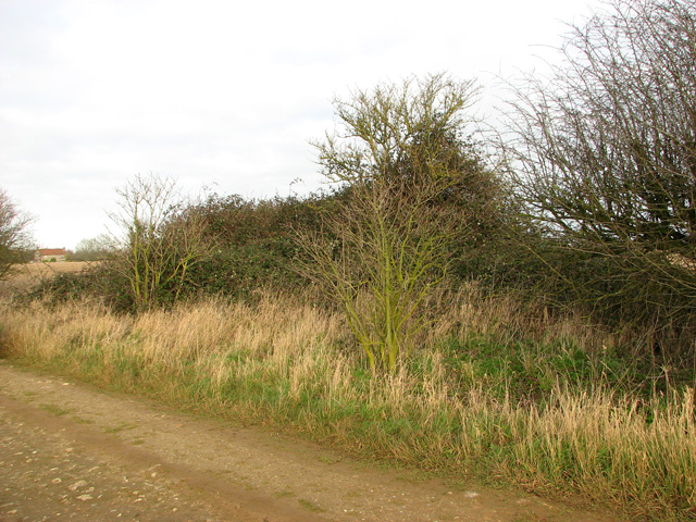
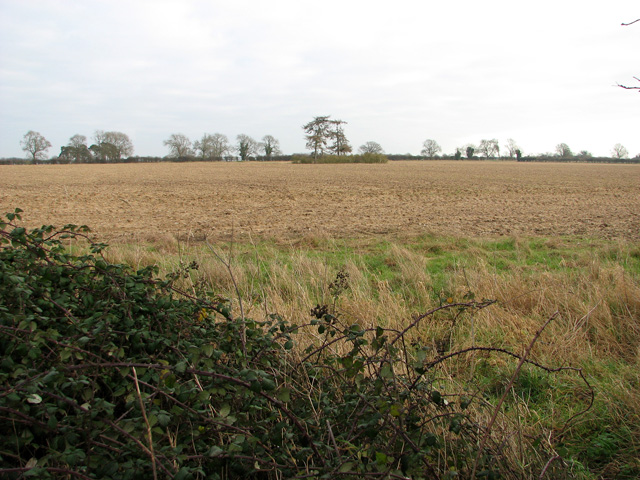
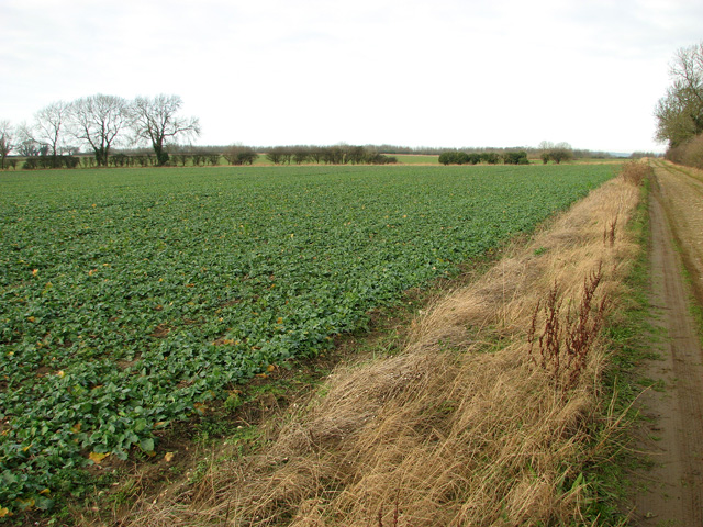
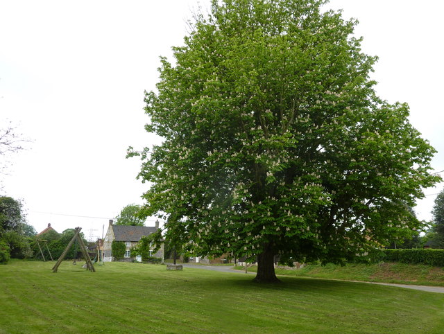
Eight Acre Plantation is a beautiful wooded area located in Norfolk, England. With its lush greenery and dense forest, it offers visitors a serene and tranquil atmosphere. The plantation spans over eight acres, providing ample space for exploration and nature appreciation.

The woodland is home to a diverse range of flora and fauna, making it a perfect spot for nature enthusiasts. The trees in the plantation include varieties like oak, beech, and birch, which create a stunning canopy overhead. These trees offer shade and shelter for a variety of wildlife, such as birds, squirrels, and rabbits. It is not uncommon to spot these creatures darting through the undergrowth or perched on the branches.

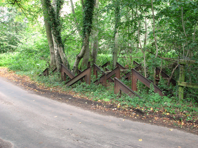
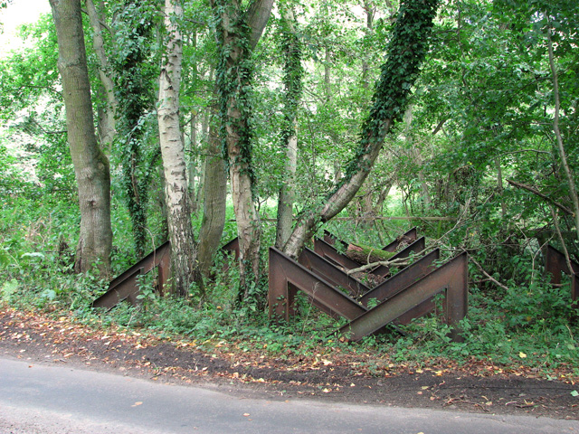
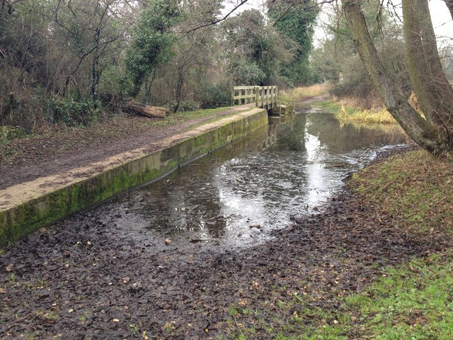
Eight Acre Plantation boasts well-maintained walking trails that wind through the forest, allowing visitors to immerse themselves in the natural beauty of the area. These paths are suitable for all ages and fitness levels, making it a popular destination for families, hikers, and joggers alike.

Additionally, the plantation offers picnic areas where visitors can relax and enjoy a meal amidst the peaceful surroundings. The tranquil atmosphere and picturesque views make it an ideal location for a day out or a leisurely stroll.

Overall, Eight Acre Plantation in Norfolk is a haven for nature lovers and those seeking an escape from the hustle and bustle of everyday life. With its abundant greenery, diverse wildlife, and well-maintained trails, it offers a truly immersive and enjoyable experience for all who visit.

If you have any feedback on the listing, please let us know in the comments section below.

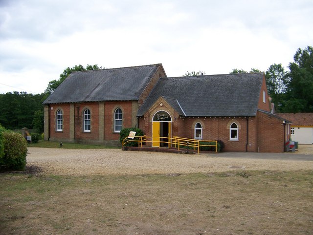
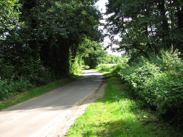
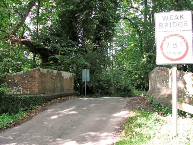
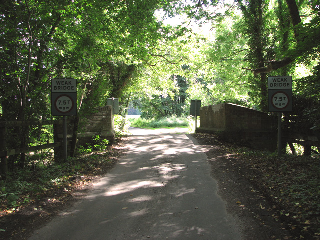
Eight Acre Plantation Images

Images are sourced within 2km of 52.692006/0.63679965 or Grid Reference TF7813. Thanks to Geograph Open Source API. All images are credited.

The West Acre Theatre "River Studios" held their art exhibition here in May 2011.
The West Acre Theatre
"River Studios" held their art exhibition here in May 2011.
Rural lane past Narford Lake
Bridge over the River Nar, Narford
The River Nar north of Narford Hall
A group of hairpin tank traps beside the River Nar, Narford This unusual and, so I believe, quite unique group comprising 36 hairpin tank traps formed part of the Eastern Command: II Corps Line B. This defence line ran from Southwold via Harleston on the Suffolk-Norfolk border through Attleborough, Watton and Swaffham in Norfolk and then continued on to King's Lynn. Not a conventional stop line but one centred around main roads offering no definite obstacle. All towns forming way points on the line and villages within a mile either side were to be prepared for defence. DOB site reference: S0002193.
A group of hairpin tank traps beside the River Nar, Narford
This unusual and, so I believe, quite unique group comprising 36 hairpin tank traps formed part of the Eastern Command: II Corps Line B. This defence line ran from Southwold via Harleston on the Suffolk-Norfolk border through Attleborough, Watton and Swaffham in Norfolk and then continued on to King's Lynn. Not a conventional stop line but one centred around main roads offering no definite obstacle. All towns forming way points on the line and villages within a mile either side were to be prepared for defence. DOB site reference: S0002193.
Trank traps, Narford This unusual and, so I believe, quite unique group comprising 36 hairpin tank traps formed part of the Eastern Command: II Corps Line B. This defence line ran from Southwold via Harleston on the Suffolk-Norfolk border through Attleborough, Watton and Swaffham in Norfolk and then continued on to King's Lynn. Not a conventional stop line but one centred around main roads offering no definite obstacle. All towns forming way points on the line and villages within a mile either side were to be prepared for defence. DOB site reference: S0002193.
Trank traps, Narford
This unusual and, so I believe, quite unique group comprising 36 hairpin tank traps formed part of the Eastern Command: II Corps Line B. This defence line ran from Southwold via Harleston on the Suffolk-Norfolk border through Attleborough, Watton and Swaffham in Norfolk and then continued on to King's Lynn. Not a conventional stop line but one centred around main roads offering no definite obstacle. All towns forming way points on the line and villages within a mile either side were to be prepared for defence. DOB site reference: S0002193.
Tank traps, Narford This unusual and, so I believe, quite unique group comprising 36 hairpin tank traps formed part of the Eastern Command: II Corps Line B. This defence line ran from Southwold via Harleston on the Suffolk-Norfolk border through Attleborough, Watton and Swaffham in Norfolk and then continued on to King's Lynn. Not a conventional stop line but one centred around main roads offering no definite obstacle. All towns forming way points on the line and villages within a mile either side were to be prepared for defence. DOB site reference: S0002193.
Tank traps, Narford
This unusual and, so I believe, quite unique group comprising 36 hairpin tank traps formed part of the Eastern Command: II Corps Line B. This defence line ran from Southwold via Harleston on the Suffolk-Norfolk border through Attleborough, Watton and Swaffham in Norfolk and then continued on to King's Lynn. Not a conventional stop line but one centred around main roads offering no definite obstacle. All towns forming way points on the line and villages within a mile either side were to be prepared for defence. DOB site reference: S0002193.
Bramble patch beside farm track, South Acre It hides a WW2 decoy airfield bunker, one of three to divert enemy fire from RAF Marham. Its official designation was 27b (South Acre).
Bramble patch beside farm track, South Acre
It hides a WW2 decoy airfield bunker, one of three to divert enemy fire from RAF Marham. Its official designation was 27b (South Acre).
Barnbrick pit, South Acre The disused pit is marked by the copse growing in it.
Barnbrick pit, South Acre
The disused pit is marked by the copse growing in it.
Oilseed rape crop, South Acre
Ford on the Nar Valley Way, West Acre This ford is found on the edge of West Acre on the River Nar and the footpath forms part of the Nar Valley Way.
Ford on the Nar Valley Way, West Acre
This ford is found on the edge of West Acre on the River Nar and the footpath forms part of the Nar Valley Way.
Ford on the Nar Valley Way This ford is found on the Nar Valley Way between West Acre and Castle Acre. There is a second ford a few yards north over a drainage ditch.
<span class="nowrap"><a title="http://www.youtube.com/watch?v=dgi2pzmdFBE&feature=youtu.be" rel="nofollow ugc noopener" href="http://www.youtube.com/watch?v=dgi2pzmdFBE&feature=youtu.be">Link</a><img style="margin-left:2px;" alt="External link" title="External link - shift click to open in new window" src="https://s1.geograph.org.uk/img/external.png" width="10" height="10"/></span>
Ford on the Nar Valley Way
This ford is found on the Nar Valley Way between West Acre and Castle Acre. There is a second ford a few yards north over a drainage ditch. LinkExternal link
Ford on road north from South Acre This ford is over a drainage ditch and lies just north of the ford on the River Nar on the road north from South Acre.
Ford on road north from South Acre
This ford is over a drainage ditch and lies just north of the ford on the River Nar on the road north from South Acre.
Tree next to Church Green at West Acre A fine example of Aesculus hippocastanum or horse chestnut. The children's playground is in the background and the church is to the east of the tree.
Tree next to Church Green at West Acre
A fine example of Aesculus hippocastanum or horse chestnut. The children's playground is in the background and the church is to the east of the tree.
All Saints church,West Acre The 14th century priory gatehouse is to the left of the photograph.
All Saints church,West Acre
The 14th century priory gatehouse is to the left of the photograph.
Show me another place!

Eight Acre Plantation is located at Grid Ref: TF7813 (Lat: 52.692006, Lng: 0.63679965)

Administrative County: Norfolk

District: Breckland

Police Authority: Norfolk

What 3 Words

///intent.ally.fingertip. Near Narborough, Norfolk

Nearby Locations

Eight Acre Plantation

Related Wikis

West Acre Priory

West Acre Priory of St. Mary and All Saints was a medieval monastic house at West Acre in the King's Lynn and West Norfolk district of Norfolk, England...

West Acre

West Acre is a village and civil parish in the King's Lynn and West Norfolk district of the county of Norfolk, England. It covers an area of 14.49 km2...

Narford

Narford is situated in the Breckland District of Norfolk and covers an area of 970 hectares (3.75 square miles). Narford village has all but disappeared...

Castle Acre Common

Castle Acre Common is a 17.8-hectare (44-acre) biological Site of Special Scientific Interest east of King's Lynn in Norfolk.This unimproved grazing marsh...

South Acre

South Acre is a village and civil parish in the English county of Norfolk. The village has almost disappeared, but the remnants are located about 1 km...

Castle Acre Priory

Castle Acre Priory was a Cluniac priory in the village of Castle Acre, Norfolk, England, dedicated to St Mary, St Peter, and St Paul. It is thought to...

Castle Acre

Castle Acre is a village and civil parish in the English county of Norfolk. The village is situated on the River Nar some 4 miles (6.4 km) north of the...

Narborough Watermill

Narborough Watermill is located on the river Nar, within the village of Narborough in the English county of Norfolk. The watermill is thought to have been...

Have you been to Eight Acre Plantation?

Leave your review of Eight Acre Plantation below (or comments, questions and feedback).