Pin Plantation

Wood, Forest in Suffolk West Suffolk

England

Pin Plantation

Newmarket Road, Risby
Newmarket Road, Risby Credit: David Howard

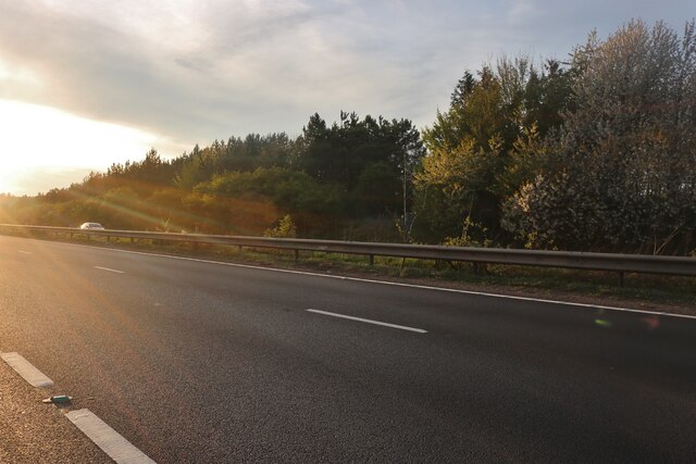
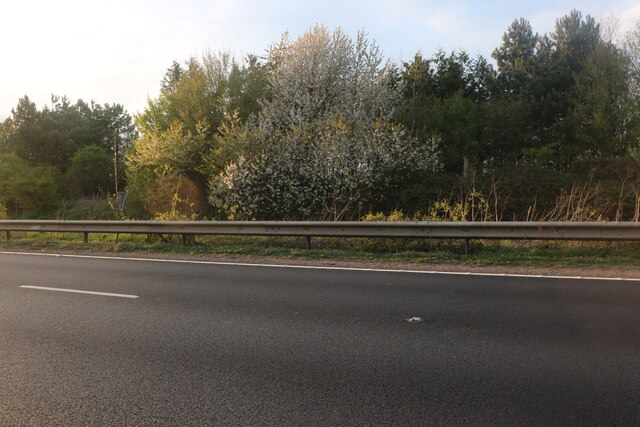
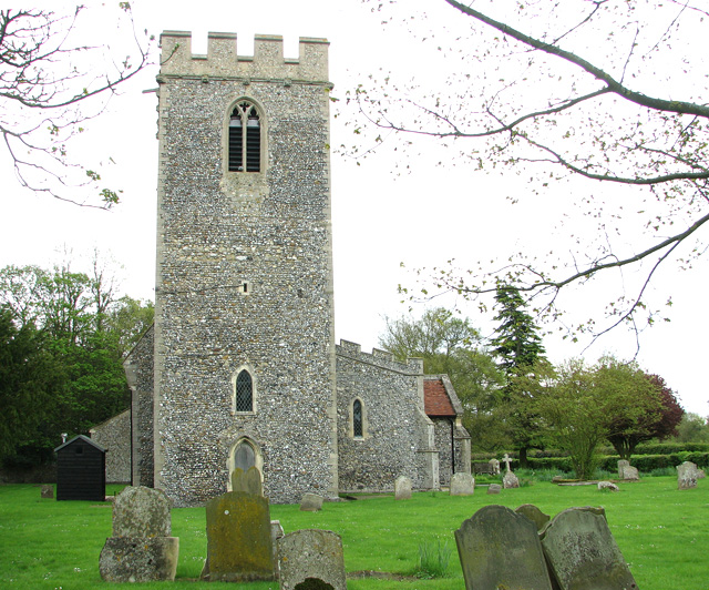
Pin Plantation is a charming woodland area located in Suffolk, England. Covering a vast area of approximately 200 acres, this forested landscape is a popular destination for nature enthusiasts and outdoor adventurers alike. The plantation is dominated by a variety of pine trees, which lend the area its distinctive name.

The forest is home to a diverse range of flora and fauna, creating a rich and vibrant ecosystem. Tall, majestic pines tower over the landscape, providing a sheltered habitat for a plethora of wildlife, including deer, foxes, and numerous bird species. The forest floor is carpeted with a lush undergrowth of ferns, wildflowers, and mosses, adding to the enchanting atmosphere of the area.

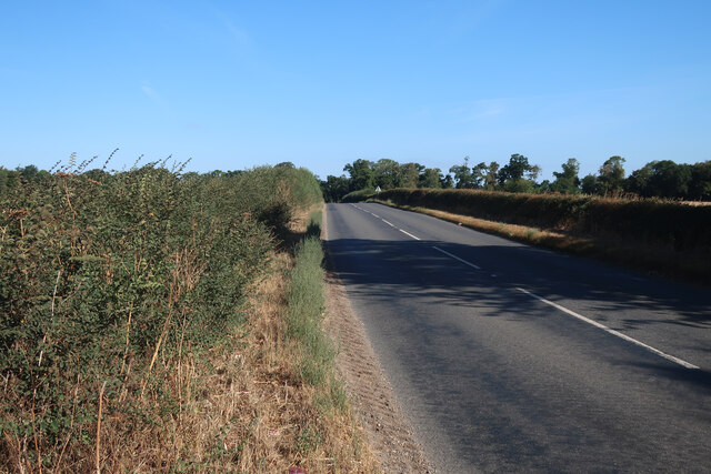
Visitors to Pin Plantation can explore the numerous walking trails that weave through the forest, offering a chance to immerse themselves in the natural beauty of the surroundings. The trails cater to all levels of fitness and range from shorter, leisurely strolls to longer, more challenging hikes. Along the way, hikers may come across picturesque viewpoints, tranquil streams, and even the occasional hidden waterfall.

The plantation is also a popular spot for outdoor activities such as picnicking, birdwatching, and photography. The peaceful atmosphere and scenic beauty of the area make it an ideal location for those looking to escape the hustle and bustle of daily life and reconnect with nature.

Overall, Pin Plantation in Suffolk is a haven of natural beauty, offering visitors a chance to explore a tranquil forested landscape teeming with wildlife and breathtaking views.

If you have any feedback on the listing, please let us know in the comments section below.

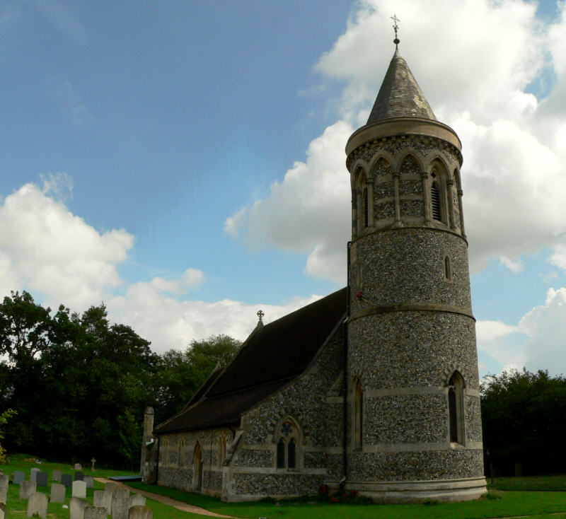
Pin Plantation Images

Images are sourced within 2km of 52.267926/0.58754423 or Grid Reference TL7666. Thanks to Geograph Open Source API. All images are credited.

Newmarket Road, Risby
Stubble field near A14
Minor road away from A14
Footpath to Robin's Hall
Footpath to Heath Farm
Sugar beet field near A14
The church of All Saints in Barrow For more information go to: <a title="https://www.geograph.org.uk/photo/1916055" href="https://www.geograph.org.uk/photo/1916055">Link</a>.
The church of All Saints in Barrow
For more information go to: Link.
Houses north of Higham
Former goods shed at Higham railway station (closed)
Former goods shed at Higham railway station (closed) The building now houses a shop selling lamps and lighting.
Former goods shed at Higham railway station (closed)
The building now houses a shop selling lamps and lighting.
The church of All Saints in Barrow For more information go to: <a title="https://www.geograph.org.uk/photo/1916055" href="https://www.geograph.org.uk/photo/1916055">Link</a>.
The church of All Saints in Barrow
For more information go to: Link.
The church of All Saints in Barrow View east. For an exterior view see > <a title="https://www.geograph.org.uk/photo/2930644" href="https://www.geograph.org.uk/photo/2930644">Link</a>. For more information go to: <a title="https://www.geograph.org.uk/photo/1916055" href="https://www.geograph.org.uk/photo/1916055">Link</a>.
The church of All Saints in Barrow
View east. For an exterior view see > Link. For more information go to: Link.
The church of All Saints in Barrow Medieval carved poppyhead. For an exterior view see > <a title="https://www.geograph.org.uk/photo/2930644" href="https://www.geograph.org.uk/photo/2930644">Link</a>. For more information go to: <a title="https://www.geograph.org.uk/photo/1916055" href="https://www.geograph.org.uk/photo/1916055">Link</a>.
The church of All Saints in Barrow
Medieval carved poppyhead. For an exterior view see > Link. For more information go to: Link.
The church of All Saints in Barrow Medieval carved bench elbow. For an exterior view see > <a title="https://www.geograph.org.uk/photo/2930644" href="https://www.geograph.org.uk/photo/2930644">Link</a>. For more information go to: <a title="https://www.geograph.org.uk/photo/1916055" href="https://www.geograph.org.uk/photo/1916055">Link</a>.
The church of All Saints in Barrow
Medieval carved bench elbow. For an exterior view see > Link. For more information go to: Link.
The church of All Saints in Barrow Medieval carved bench elbow. Three ladybirds are resting in the creatures mouth. For an exterior view see > <a title="https://www.geograph.org.uk/photo/2930644" href="https://www.geograph.org.uk/photo/2930644">Link</a>. For more information go to: <a title="https://www.geograph.org.uk/photo/1916055" href="https://www.geograph.org.uk/photo/1916055">Link</a>.
The church of All Saints in Barrow
Medieval carved bench elbow. Three ladybirds are resting in the creatures mouth. For an exterior view see > Link. For more information go to: Link.
The church of All Saints in Barrow Carved medieval benches. For an exterior view see > <a title="https://www.geograph.org.uk/photo/2930644" href="https://www.geograph.org.uk/photo/2930644">Link</a>. For more information go to: <a title="https://www.geograph.org.uk/photo/1916055" href="https://www.geograph.org.uk/photo/1916055">Link</a>.
The church of All Saints in Barrow
Carved medieval benches. For an exterior view see > Link. For more information go to: Link.
Show me another place!

Pin Plantation is located at Grid Ref: TL7666 (Lat: 52.267926, Lng: 0.58754423)

Administrative County: Suffolk

District: West Suffolk

Police Authority: Suffolk

What 3 Words

///reversed.lads.reframe. Near Bury St Edmunds, Suffolk

Related Wikis

Higham railway station (Suffolk)

Higham railway station was a station serving Higham in the English county of Suffolk. It was opened by the Great Eastern Railway in 1854 when the railway...

A14 road (England)

The A14 is a major trunk road in England, running 127 miles (204 km) from Catthorpe Interchange, a major intersection at the southern end of the M6 and...

Black Ditches, Cavenham

Black Ditches is an earthwork close to the village of Cavenham of Suffolk, and part of it is a biological Site of Special Scientific Interest (SSSI). The...

Higham, West Suffolk

Higham is a village and civil parish in the West Suffolk district of Suffolk in the east of England. Located midway between Bury St Edmunds and Newmarket...

Risby, Suffolk

Risby is a village and civil parish in the West Suffolk district of Suffolk in eastern England, located around 3 miles (4.8 km) west of Bury St. Edmunds...

Cavenham

Cavenham is a village and civil parish in Suffolk, England, 10 kilometres (6 mi) northwest of Bury St Edmunds. It is in the local government district of...

Saxham and Risby railway station

Saxham & Risby railway station was a station serving Risby in the English county of Suffolk. It was opened by the Great Eastern Railway in 1854 following...

Old Broom

Old Broom is a 6.5-hectare (16-acre) nature reserve north of Risby in Suffolk. It is managed by the Suffolk Wildlife Trust.This is a remnant of an ancient...

Nearby Amenities

Located within 500m of 52.267926,0.58754423
Parking
Lat/Long: 52.2652812/0.5873635
The data included in this document is from www.openstreetmap.org. The data is made available under ODbL.

Have you been to Pin Plantation?

Leave your review of Pin Plantation below (or comments, questions and feedback).