Broom Covert
Wood, Forest in Suffolk West Suffolk
England
Broom Covert
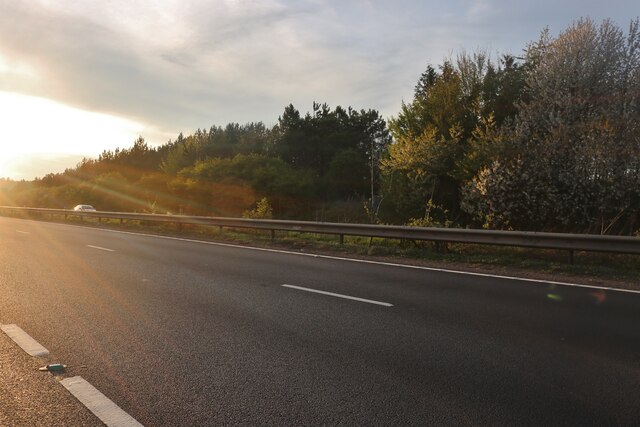
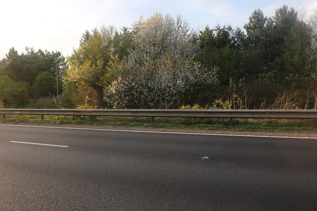
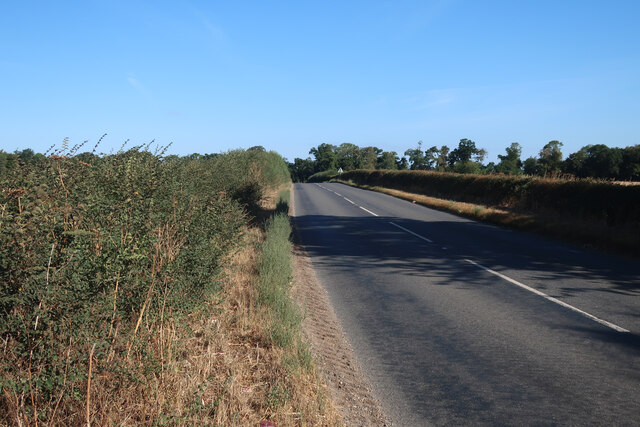
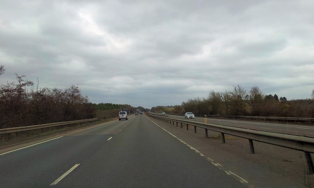
Broom Covert is a dense woodland located in Suffolk, England. Situated near the town of Woodbridge, it covers an area of approximately 120 hectares. The woodland is part of a larger forest known as Sandlings Forests, which includes neighboring areas such as Rendlesham Forest and Tunstall Forest.
Broom Covert is characterized by its diverse range of tree species, including oak, birch, and pine. The forest floor is covered in a thick carpet of ferns, moss, and wildflowers, providing a rich habitat for a variety of plant and animal species. The woodland is particularly renowned for being a home to numerous bird species, such as woodpeckers, nightjars, and warblers.
The forest offers visitors a range of recreational activities. There are several well-maintained footpaths and trails that wind through the woodland, providing opportunities for hiking, walking, and cycling. The peaceful and serene environment makes it an ideal location for nature enthusiasts and birdwatchers. Additionally, the forest is a popular spot for photography and nature study.
Broom Covert is managed by the Forestry Commission, which ensures the preservation and conservation of the woodland. They undertake regular maintenance and woodland management practices, including tree planting and selective thinning, to maintain the health and vitality of the forest.
Overall, Broom Covert is a beautiful and tranquil woodland in Suffolk, offering a haven for wildlife and a peaceful escape for visitors seeking to immerse themselves in nature.
If you have any feedback on the listing, please let us know in the comments section below.
Broom Covert Images
Images are sourced within 2km of 52.27032/0.57968024 or Grid Reference TL7666. Thanks to Geograph Open Source API. All images are credited.


Broom Covert is located at Grid Ref: TL7666 (Lat: 52.27032, Lng: 0.57968024)
Administrative County: Suffolk
District: West Suffolk
Police Authority: Suffolk
What 3 Words
///ombudsman.astounded.tailors. Near Bury St Edmunds, Suffolk
Nearby Locations
Related Wikis

Higham railway station (Suffolk)
Higham railway station was a station serving Higham in the English county of Suffolk. It was opened by the Great Eastern Railway in 1854 when the railway...

A14 road (England)
The A14 is a major trunk road in England, running 127 miles (204 km) from Catthorpe Interchange, a major intersection at the southern end of the M6 and...
Higham, West Suffolk
Higham is a village and civil parish in the West Suffolk district of Suffolk in the east of England. Located midway between Bury St Edmunds and Newmarket...

Black Ditches, Cavenham
Black Ditches is an earthwork close to the village of Cavenham of Suffolk, and part of it is a biological Site of Special Scientific Interest (SSSI). The...

Cavenham
Cavenham is a village and civil parish in Suffolk, England, 10 kilometres (6 mi) northwest of Bury St Edmunds. It is in the local government district of...
Risby, Suffolk
Risby is a village and civil parish in the West Suffolk district of Suffolk in eastern England, located around 3 miles (4.8 km) west of Bury St. Edmunds...

Old Broom
Old Broom is a 6.5-hectare (16-acre) nature reserve north of Risby in Suffolk. It is managed by the Suffolk Wildlife Trust.This is a remnant of an ancient...

Denham Castle
Denham Castle, also known as Castle Holes, is a medieval motte and bailey castle near the village of Gazeley, Suffolk, England. The castle was also known...
Related Videos
Family Camping at Churchview Campsite Suffolk UK
Another weekend campsite review I feel like its a mission now, to visit as many countys as possible this summer! Mame sure ...
Have you been to Broom Covert?
Leave your review of Broom Covert below (or comments, questions and feedback).