Black Belt

Wood, Forest in Suffolk West Suffolk

England

Black Belt

Newmarket Road, Risby
Newmarket Road, Risby Credit: David Howard

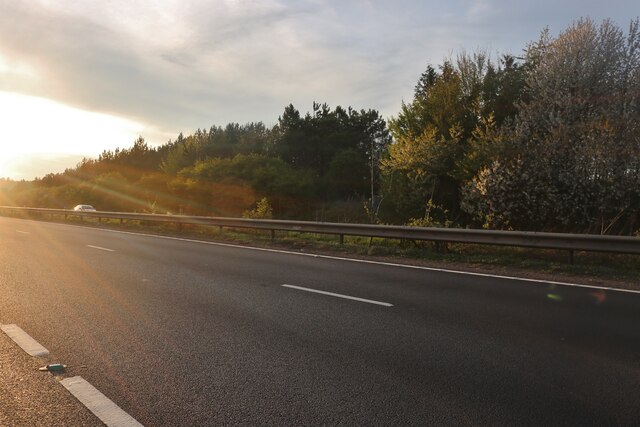
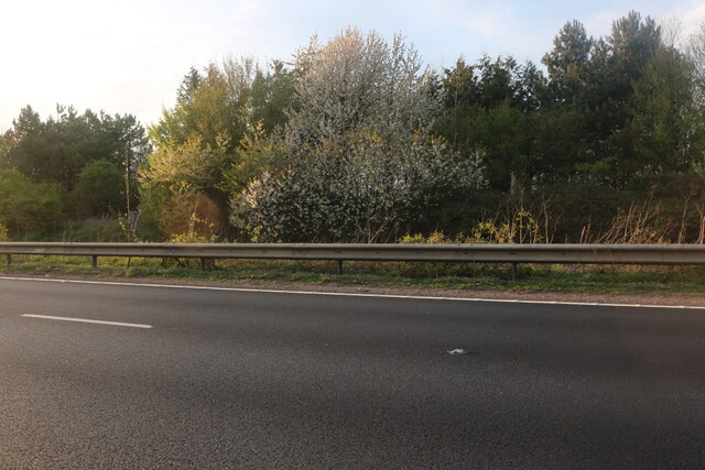
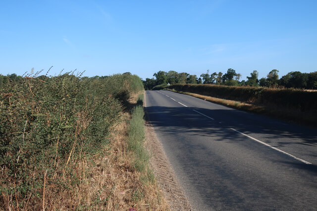
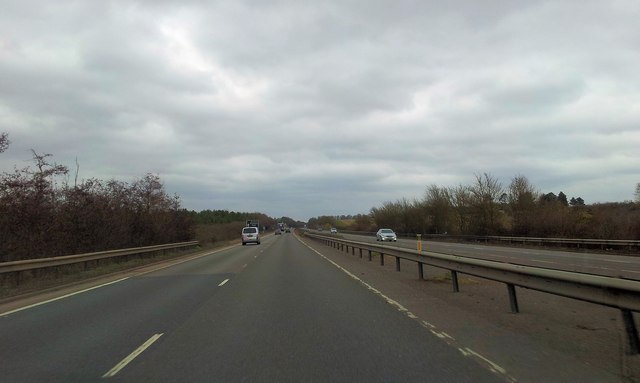
Black Belt, Suffolk, also known as Wood or Forest, is a region located in Suffolk County, England. It is characterized by its dense woodland areas, which cover a significant portion of the landscape. The name "Black Belt" refers to the rich, dark soil found in the region, which is ideal for agricultural purposes.

The woodlands of Black Belt, Suffolk are home to a variety of tree species, including oak, ash, beech, and birch. These forests provide a habitat for numerous wildlife species, such as deer, foxes, badgers, and a diverse array of bird species. The area is also known for its rich biodiversity, with many rare and protected plant and animal species found within its boundaries.

The Black Belt region has a long history of human settlement, with evidence of human activity dating back thousands of years. The woodlands have been utilized for various purposes throughout history, including timber production, hunting, and recreational activities. Today, the forests are managed sustainably, balancing the needs of conservation and local communities.

The Black Belt, Suffolk, attracts visitors from near and far who come to explore its picturesque landscapes and enjoy outdoor activities such as hiking, cycling, and wildlife spotting. The region also offers opportunities for educational programs and research, with several organizations working to preserve and study the unique natural environment.

Overall, Black Belt, Suffolk is a captivating region, renowned for its pristine woodlands and diverse wildlife. It continues to be a cherished part of the Suffolk County, providing a valuable ecosystem and a source of enjoyment for both locals and visitors alike.

If you have any feedback on the listing, please let us know in the comments section below.

Black Belt Images

Images are sourced within 2km of 52.271614/0.58135321 or Grid Reference TL7666. Thanks to Geograph Open Source API. All images are credited.

Newmarket Road, Risby
Stubble field near A14
Minor road away from A14
Footpath to Robin's Hall
Footpath to Heath Farm
Sugar beet field near A14
Higham village sign Suffolk has 400 villages and towns with village or town signs, give or take one or two. 
The tradition of village signs is believed to have started in Norfolk early in the 20th century when Edward VII suggested that village signs would aid motorists and give a feature of interest on the Sandringham Estate.
Many of the signs  were made by Harry Carter, an art and woodwork master at Hamond’s Grammar School, in Swaffham.
Many have now been replaced with fibreglass or modern plastics. The story behind the sign is given as accurately as possible.
Higham village sign
Suffolk has 400 villages and towns with village or town signs, give or take one or two. The tradition of village signs is believed to have started in Norfolk early in the 20th century when Edward VII suggested that village signs would aid motorists and give a feature of interest on the Sandringham Estate. Many of the signs were made by Harry Carter, an art and woodwork master at Hamond’s Grammar School, in Swaffham. Many have now been replaced with fibreglass or modern plastics. The story behind the sign is given as accurately as possible.
Minor road to Cavenham
Houses north of Higham
Former goods shed at Higham railway station (closed)
Former goods shed at Higham railway station (closed) The building now houses a shop selling lamps and lighting.
Former goods shed at Higham railway station (closed)
The building now houses a shop selling lamps and lighting.
Railway buildings at Higham station (closed)
Victorian postbox at Higham railway station For a wider view of this location see > <a title="https://www.geograph.org.uk/photo/2930679" href="https://www.geograph.org.uk/photo/2930679">Link</a>.
Victorian postbox at Higham railway station
For a wider view of this location see > Link.
Former Smithy at Higham
St Stephen's church in Higham For more information go to: <a title="https://www.geograph.org.uk/photo/1958761" href="https://www.geograph.org.uk/photo/1958761">Link</a>.
St Stephen's church in Higham
For more information go to: Link.
The A14 near Barrow Bottom
Eastbound A14, Exit for Tuddenham The A14 is a major road which runs for 129 miles from the Port of Felixstowe to the Catthorpe Interchange, the junction of the M1 and M6 motorways near Rugby.

The route linking Rugby (and therefore the West Midlands and the north of England via the motorway network) to East Anglia and the ports of Felixstowe and Harwich is incredibly important and incredibly busy (Felixstowe is the UK's principal container port and the A14 is the road between Felixstowe and everywhere else) but it didn't exist in any coherent form until about 1992.

Prior to the current A14 the main route from Birmingham to the Haven ports followed the old A45 road via Coventry, Rugby, Northampton, St Neots, Cambridge and then through all the towns on the A14, from there to Ipswich where it ended on the A12 – not the fast route required for transporting goods across the country with the sudden rise in container shipping during the latter part of the twentieth century.

Most of the current A14 route is a collection of bits of dual carriageway acquired from other roads (most notably the A45) with occasional stretches of new road to bolt it all together. Because of its importance to the country’s economy, there are plans to upgrade it further.

Prior to its use for the current route the A14 designation had been used for a section of road between the A10 at Royston and the A1 at Alconbury following part of the route of the Roman road, Ermine Street, which is now mostly designated as the A1198. The only bit of the current A14 that follows that number's original route is the spur linking junction 23 to the A1.

<span class="nowrap"><a title="http://www.cbrd.co.uk/motorway/a14" rel="nofollow ugc noopener" href="http://www.cbrd.co.uk/motorway/a14">Link</a><img style="margin-left:2px;" alt="External link" title="External link - shift click to open in new window" src="https://s1.geograph.org.uk/img/external.png" width="10" height="10"/></span> Chris's British Road Directory
<span class="nowrap"><a title="http://en.wikipedia.org/wiki/A14_road_(England)" rel="nofollow ugc noopener" href="http://en.wikipedia.org/wiki/A14_road_(England)">Link</a><img style="margin-left:2px;" alt="External link" title="External link - shift click to open in new window" src="https://s1.geograph.org.uk/img/external.png" width="10" height="10"/></span>  Wikipedia
Eastbound A14, Exit for Tuddenham
The A14 is a major road which runs for 129 miles from the Port of Felixstowe to the Catthorpe Interchange, the junction of the M1 and M6 motorways near Rugby. The route linking Rugby (and therefore the West Midlands and the north of England via the motorway network) to East Anglia and the ports of Felixstowe and Harwich is incredibly important and incredibly busy (Felixstowe is the UK's principal container port and the A14 is the road between Felixstowe and everywhere else) but it didn't exist in any coherent form until about 1992. Prior to the current A14 the main route from Birmingham to the Haven ports followed the old A45 road via Coventry, Rugby, Northampton, St Neots, Cambridge and then through all the towns on the A14, from there to Ipswich where it ended on the A12 – not the fast route required for transporting goods across the country with the sudden rise in container shipping during the latter part of the twentieth century. Most of the current A14 route is a collection of bits of dual carriageway acquired from other roads (most notably the A45) with occasional stretches of new road to bolt it all together. Because of its importance to the country’s economy, there are plans to upgrade it further. Prior to its use for the current route the A14 designation had been used for a section of road between the A10 at Royston and the A1 at Alconbury following part of the route of the Roman road, Ermine Street, which is now mostly designated as the A1198. The only bit of the current A14 that follows that number's original route is the spur linking junction 23 to the A1. LinkExternal link Chris's British Road Directory LinkExternal link Wikipedia
Show me another place!

Black Belt is located at Grid Ref: TL7666 (Lat: 52.271614, Lng: 0.58135321)

Administrative County: Suffolk

District: West Suffolk

Police Authority: Suffolk

What 3 Words

///melon.inviting.chairing. Near Bury St Edmunds, Suffolk

Related Wikis

Higham railway station (Suffolk)

Higham railway station was a station serving Higham in the English county of Suffolk. It was opened by the Great Eastern Railway in 1854 when the railway...

A14 road (England)

The A14 is a major trunk road in England, running 127 miles (204 km) from Catthorpe Interchange, a major intersection at the southern end of the M6 and...

Black Ditches, Cavenham

Black Ditches is an earthwork close to the village of Cavenham of Suffolk, and part of it is a biological Site of Special Scientific Interest (SSSI). The...

Higham, West Suffolk

Higham is a village and civil parish in the West Suffolk district of Suffolk in the east of England. Located midway between Bury St Edmunds and Newmarket...

Have you been to Black Belt?

Leave your review of Black Belt below (or comments, questions and feedback).