Gravelpit Wood
Wood, Forest in Suffolk West Suffolk
England
Gravelpit Wood

Gravelpit Wood is a picturesque woodland located in Suffolk, England. Covering an area of approximately 50 acres, it is a popular destination for nature enthusiasts and hikers alike. The wood is situated near the village of Suffolk, nestled within the beautiful Suffolk countryside.
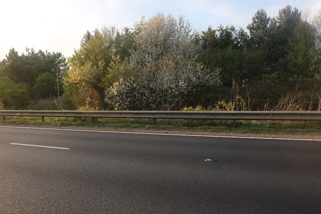
The woodland is predominantly composed of broadleaf trees, including oak, beech, and birch, which create a stunning canopy and provide a habitat for a diverse range of wildlife. Walking through the wood, visitors can admire the vibrant colors of the changing seasons, from the lush greens of spring and summer to the rich oranges and browns of autumn.
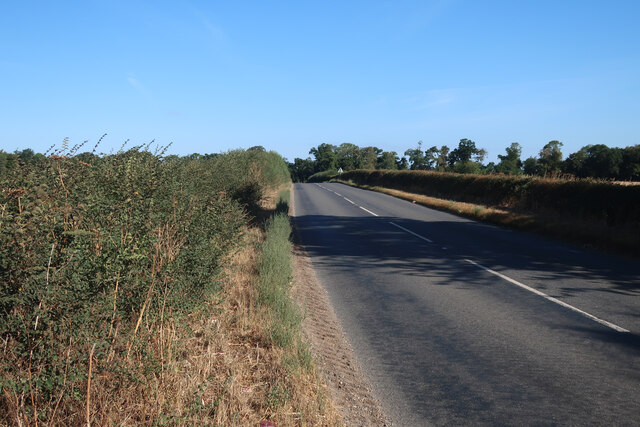
Gravelpit Wood offers a network of well-maintained trails, allowing visitors to explore its natural beauty at their own pace. These trails wind through the wood, taking visitors on a journey through ancient trees, wildflower meadows, and tranquil streams. Along the way, walkers may encounter various species of birds, butterflies, and small mammals, creating a captivating experience for wildlife enthusiasts.
In addition to its natural beauty, Gravelpit Wood also holds historical significance. The wood is believed to have been used as a source of timber during the medieval period, and remnants of old sawpits can still be found within its boundaries.
Whether visitors are seeking a peaceful walk in nature, a chance to spot wildlife, or a glimpse into the region's history, Gravelpit Wood offers a delightful escape into the heart of Suffolk's countryside.
If you have any feedback on the listing, please let us know in the comments section below.
Gravelpit Wood Images
Images are sourced within 2km of 52.268028/0.58209754 or Grid Reference TL7666. Thanks to Geograph Open Source API. All images are credited.


Gravelpit Wood is located at Grid Ref: TL7666 (Lat: 52.268028, Lng: 0.58209754)
Administrative County: Suffolk
District: West Suffolk
Police Authority: Suffolk
What 3 Words
///mincing.tender.amounting. Near Bury St Edmunds, Suffolk
Nearby Locations
Related Wikis

Higham railway station (Suffolk)
Higham railway station was a station serving Higham in the English county of Suffolk. It was opened by the Great Eastern Railway in 1854 when the railway...

A14 road (England)
The A14 is a major trunk road in England, running 127 miles (204 km) from Catthorpe Interchange, a major intersection at the southern end of the M6 and...
Higham, West Suffolk
Higham is a village and civil parish in the West Suffolk district of Suffolk in the east of England. Located midway between Bury St Edmunds and Newmarket...

Black Ditches, Cavenham
Black Ditches is an earthwork close to the village of Cavenham of Suffolk, and part of it is a biological Site of Special Scientific Interest (SSSI). The...

Cavenham
Cavenham is a village and civil parish in Suffolk, England, 10 kilometres (6 mi) northwest of Bury St Edmunds. It is in the local government district of...
Risby, Suffolk
Risby is a village and civil parish in the West Suffolk district of Suffolk in eastern England, located around 3 miles (4.8 km) west of Bury St. Edmunds...

Barrow, Suffolk
Barrow is a village and civil parish in the West Suffolk district of Suffolk, England, about eight miles west of Bury St Edmunds. According to Eilert Ekwall...

Saxham and Risby railway station
Saxham & Risby railway station was a station serving Risby in the English county of Suffolk. It was opened by the Great Eastern Railway in 1854 following...
Nearby Amenities
Located within 500m of 52.268028,0.58209754Have you been to Gravelpit Wood?
Leave your review of Gravelpit Wood below (or comments, questions and feedback).