Yorkshire Shaw

Wood, Forest in Sussex Rother

England

Yorkshire Shaw

Robertsbridge abbey (rems of) These are the remains of the cistercian abbey, now not visitable as part of a private house.
Robertsbridge abbey (rems of) Credit: N Chadwick

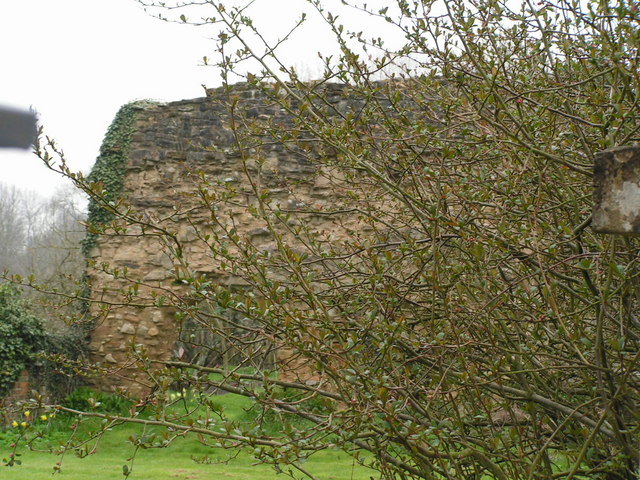
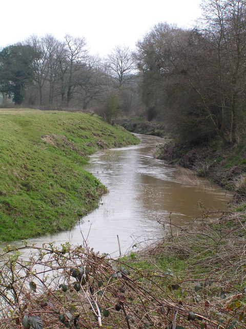
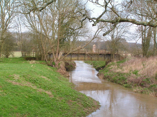
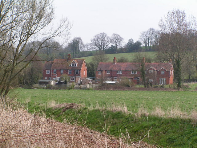
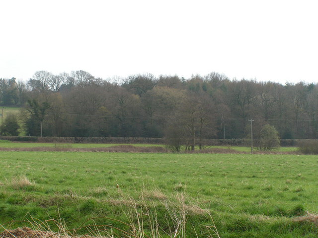
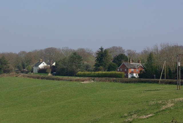
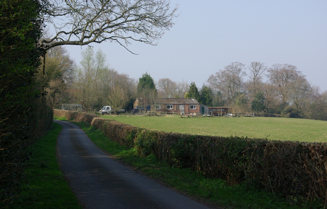
Yorkshire Shaw, Sussex, also known as Wood or Forest, is a picturesque area located in the county of Sussex, England. Covering an area of approximately 200 square miles, this region is known for its lush green landscapes, dense forests, and charming villages.

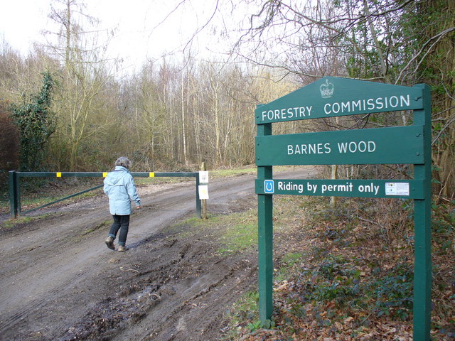
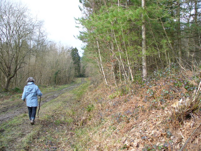
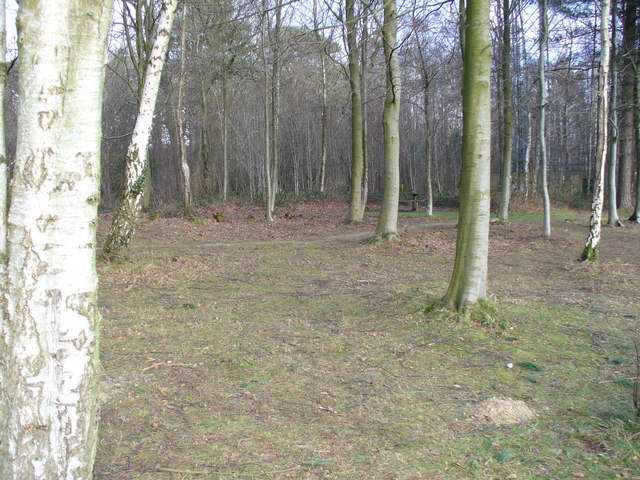
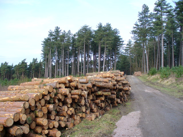
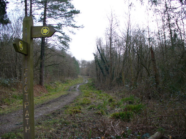
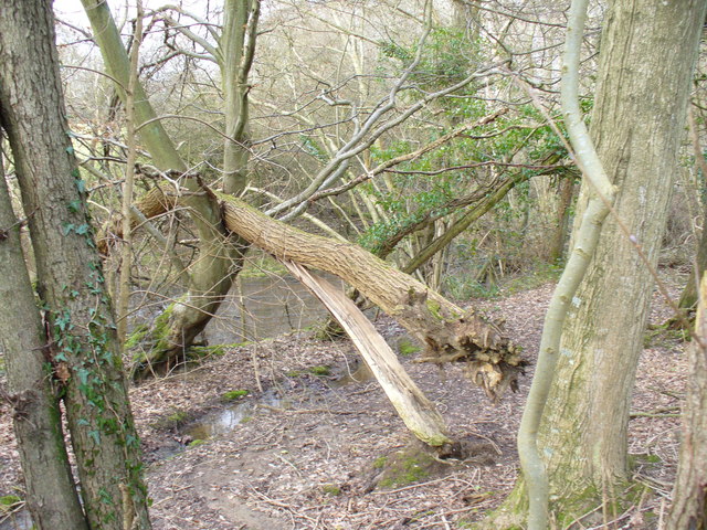
The name "Yorkshire Shaw" refers to the wooded nature of the area, with "shaw" being an old English term for a small wood or thicket. The forests of Yorkshire Shaw are predominantly composed of native tree species such as oak, beech, and birch, creating a diverse and vibrant ecosystem. This makes the region a haven for nature enthusiasts, offering numerous opportunities for hiking, birdwatching, and wildlife spotting.

The villages within Yorkshire Shaw exude a quaint and traditional charm, with their timber-framed cottages, historic churches, and village greens. The local communities are known for their warm hospitality and close-knit nature, making visitors feel welcome and at home.

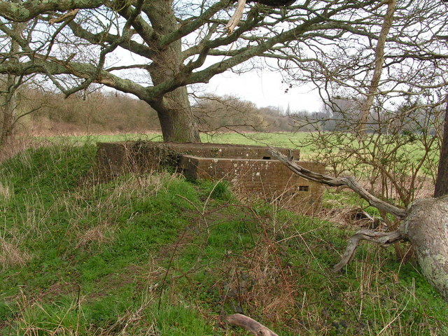
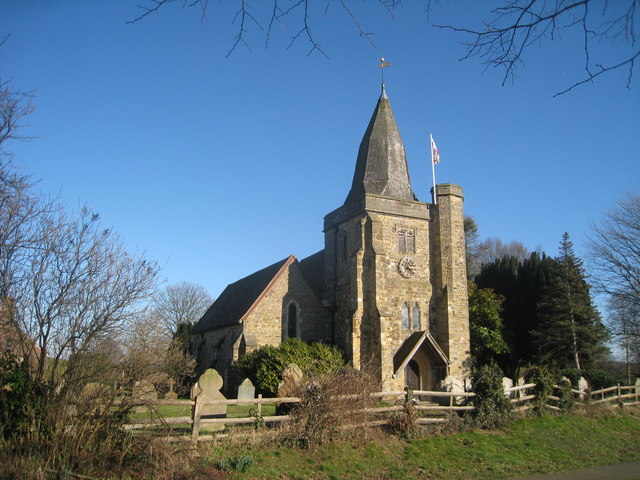
In addition to its natural beauty, Yorkshire Shaw boasts a rich history. The area has been inhabited since ancient times, with archaeological evidence suggesting settlements dating back to the Neolithic period. The region also played a significant role during the medieval period, with several castles and manor houses still standing as reminders of its past.

Overall, Yorkshire Shaw, Sussex is a captivating destination for those seeking a tranquil retreat amidst nature. Its enchanting forests, idyllic villages, and historical landmarks make it an ideal place to unwind and immerse oneself in the beauty and serenity of the English countryside.

If you have any feedback on the listing, please let us know in the comments section below.

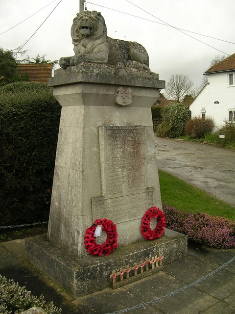
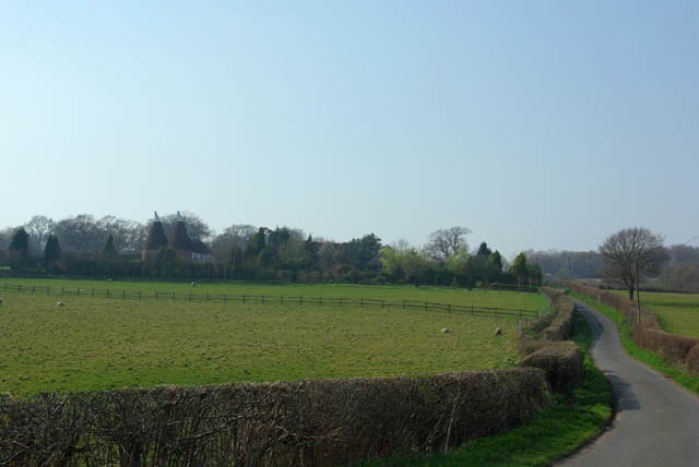
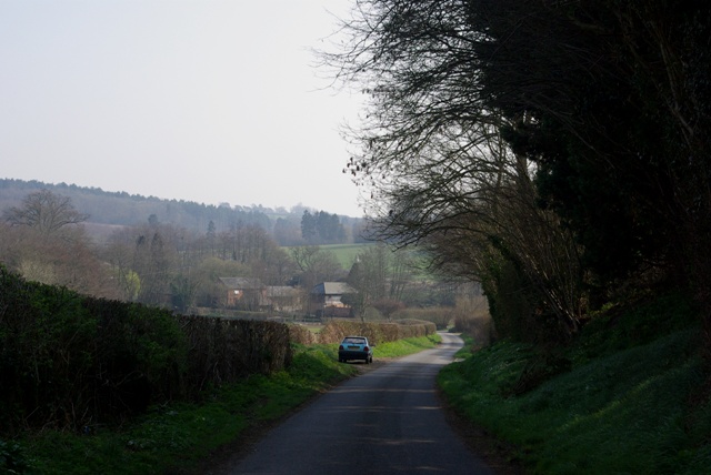
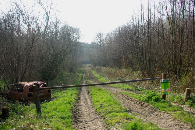
Yorkshire Shaw Images

Images are sourced within 2km of 50.971771/0.5106481 or Grid Reference TQ7622. Thanks to Geograph Open Source API. All images are credited.

Robertsbridge abbey (rems of) These are the remains of the cistercian abbey, now not visitable as part of a private house.
Robertsbridge abbey (rems of)
These are the remains of the cistercian abbey, now not visitable as part of a private house.
River Rother The River Rother runs for 35 miles from Rotherfield, East Sussex, entering Kent after Bodiam where it follows the county border to Wittersham, where it rejoins East Sussex to the mouth at Rye.

There are two other River Rothers in Yorkshire and in Hampshire to West Sussex.
River Rother
The River Rother runs for 35 miles from Rotherfield, East Sussex, entering Kent after Bodiam where it follows the county border to Wittersham, where it rejoins East Sussex to the mouth at Rye. There are two other River Rothers in Yorkshire and in Hampshire to West Sussex.
Railway bridge crossing R. Rother This is now a dismantled railway, further east it becomes the Kent & East Sussex Railway.
Railway bridge crossing R. Rother
This is now a dismantled railway, further east it becomes the Kent & East Sussex Railway.
Rural Houses
Rural Houses
Cranham Woods
Cranham Woods
Pillbox by a bridge over the River Rother In 1940 a network of defences was hastily built all over Britain to prevent an expected German invasion. The most common of these defences were called “pillboxes”, squat concrete forts that were sited at road junctions, canals and other strategic points.

With the passage of time it is estimated that fewer than 6,000 of a total of 28,000 pillboxes built still survive. They remain as permanent monuments and a silent tribute to the courage and tenacity of the British people during the dark days of 1940 when Britain stood alone against Nazi Germany.

More detail see <span class="nowrap"><a title="www.pillboxesuk.co.uk" rel="nofollow ugc noopener" href="http://www.pillboxesuk.co.uk">Link</a><img style="margin-left:2px;" alt="External link" title="External link - shift click to open in new window" src="https://s1.geograph.org.uk/img/external.png" width="10" height="10"/></span>
Pillbox by a bridge over the River Rother
In 1940 a network of defences was hastily built all over Britain to prevent an expected German invasion. The most common of these defences were called “pillboxes”, squat concrete forts that were sited at road junctions, canals and other strategic points. With the passage of time it is estimated that fewer than 6,000 of a total of 28,000 pillboxes built still survive. They remain as permanent monuments and a silent tribute to the courage and tenacity of the British people during the dark days of 1940 when Britain stood alone against Nazi Germany. More detail see LinkExternal link
Barnes Wood A forest track leading into the wood where it was a busy day for foresters. A few sections of track were rendered nearly impassable by the deep ruts in the mud.
Barnes Wood
A forest track leading into the wood where it was a busy day for foresters. A few sections of track were rendered nearly impassable by the deep ruts in the mud.
Forest Track in Barnes Wood This wood has a number of tracks criss-crossing its small area. The tracks are clay surface and so are very prone to being very muddy after wet weather, and prone to having deep ruts caused by forestry vehicles.
Forest Track in Barnes Wood
This wood has a number of tracks criss-crossing its small area. The tracks are clay surface and so are very prone to being very muddy after wet weather, and prone to having deep ruts caused by forestry vehicles.
Picnic Site, Footland Wood Benches sit benow the birches by the large car park. This area is popular with dog-walkers and walkers.
Picnic Site, Footland Wood
Benches sit benow the birches by the large car park. This area is popular with dog-walkers and walkers.
Log Stack, Barnes Wood The output of winter forestry activity line a track in this Wealden wood.
Log Stack, Barnes Wood
The output of winter forestry activity line a track in this Wealden wood.
Path Junction, Barnes Wood Forestry land is crossed by clay-surfaced paths and tracks.
Path Junction, Barnes Wood
Forestry land is crossed by clay-surfaced paths and tracks.
Woodland near Vinehall Street A stream is lined by deciduous trees, like beech. Note the recently fallen tree here. The soil is mainly water-retaining clay.
Woodland near Vinehall Street
A stream is lined by deciduous trees, like beech. Note the recently fallen tree here. The soil is mainly water-retaining clay.
Staplecross War Memorial War Memorial commemorating the fallen from both world wars at Staplecross.
Staplecross War Memorial
War Memorial commemorating the fallen from both world wars at Staplecross.
Poppinghole Lane and Walters Farm The farm is rather hidden apart from the oasthouses.
Poppinghole Lane and Walters Farm
The farm is rather hidden apart from the oasthouses.
Poppinghole Lane and Newpond Farm The car is parked opposite a cottage hidden by the hedge.
Poppinghole Lane and Newpond Farm
The car is parked opposite a cottage hidden by the hedge.
Entrance, Vinehall Forest Forestry Commission with public access. A pity about the car.
Entrance, Vinehall Forest
Forestry Commission with public access. A pity about the car.
Swailes Green On the B2089 with Cripps Corner to the left.
Swailes Green
On the B2089 with Cripps Corner to the left.
Wattlehill Wattlehill is the name of the house. The lane is Beacon Lane.
Wattlehill
Wattlehill is the name of the house. The lane is Beacon Lane.
Show me another place!

Yorkshire Shaw is located at Grid Ref: TQ7622 (Lat: 50.971771, Lng: 0.5106481)

Administrative County: East Sussex

District: Rother

Police Authority: Sussex

What 3 Words

///noodle.talkative.topical. Near Robertsbridge, East Sussex

Related Wikis

Cripps Corner

Cripps Corner is a village in the civil parish of Ewhurst and the Rother district of East Sussex, England. It is in the High Weald Area of Outstanding...
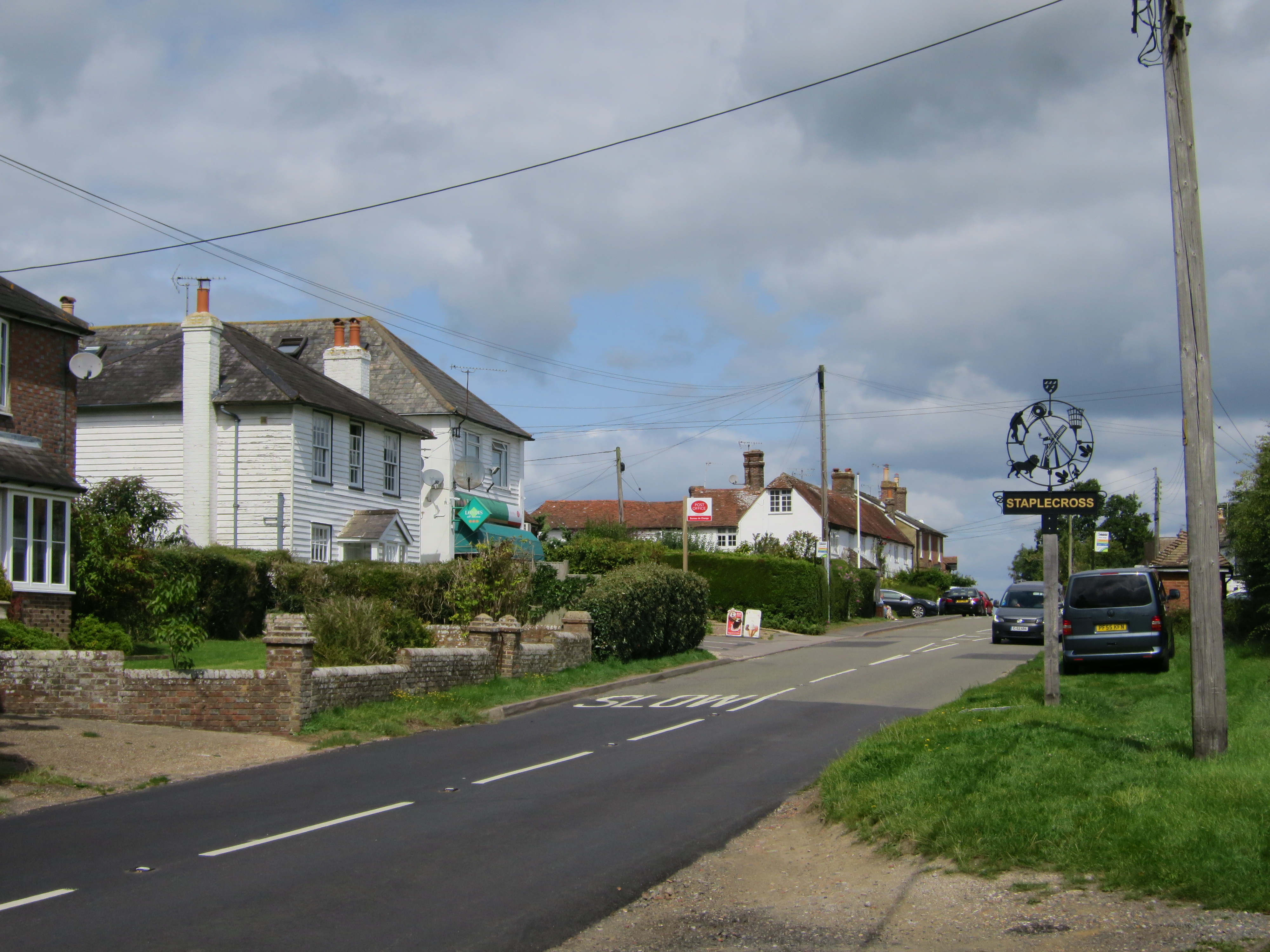
Staplecross

Staplecross is a village in the civil parish of Ewhurst and the Rother district of East Sussex, England. Staplecross is the largest settlement in Ewhurst...

Ewhurst, East Sussex

Ewhurst is a civil parish in the Rother district of East Sussex, England. The parish is on the southern ridge of the River Rother valley, and much of the...

Sedlescombe vineyard

Sedlescombe organic vineyard is an English vineyard located in Robertsbridge, just outside Sedlescombe in East Sussex.It is one of the few British vineyards...

Vinehall Street

Vinehall Street (or Vinehall), is a linear settlement in the civil parishes of Mountfield and Whatlington, and the Rother district of East Sussex, England...

Vinehall School

Vinehall School is a co-educational day, boarding school and nursery located at Vinehall Street, near the town of Robertsbridge, East Sussex. It takes...

Junction Road Halt railway station

Junction Road Halt, also known as Junction Road (for Hawkhurst), was a halt station on the Kent and East Sussex Railway. It was located on the eastern...

Salehurst Halt railway station

Salehurst Halt was a halt station on the Kent and East Sussex Railway which served the village of Salehurst in East Sussex, England. The station was reached...

Have you been to Yorkshire Shaw?

Leave your review of Yorkshire Shaw below (or comments, questions and feedback).