Lordship Wood

Wood, Forest in Sussex Rother

England

Lordship Wood

Hop Field
Hop Field Credit: N Chadwick

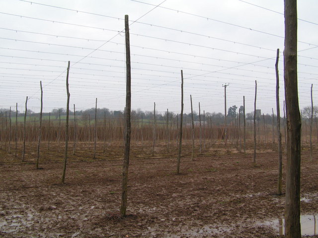
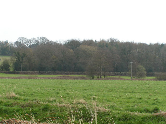
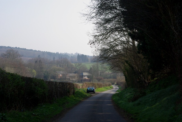
Lordship Wood is a picturesque woodland located in the county of Sussex, England. Situated near the village of Wood, the forest covers a vast area of approximately 100 hectares. With its diverse range of tree species and abundant wildlife, Lordship Wood is a popular destination for nature enthusiasts and hikers alike.

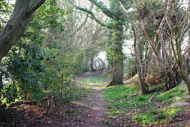
The woodland is primarily composed of broadleaf trees, including oak, beech, and ash, which contribute to its stunning natural beauty throughout the year. In spring, the forest floor is adorned with a carpet of bluebells, creating a breathtaking sight. The vibrant colors of autumn transform the wood into a kaleidoscope of red, orange, and gold.

Lordship Wood is home to a variety of wildlife, making it a haven for nature lovers. Birdwatchers can spot a wide range of species, including woodpeckers, owls, and various songbirds. The forest also provides a habitat for mammals such as deer, foxes, and badgers. In addition, the wood is teeming with insects, butterflies, and small reptiles, adding to its ecological significance.

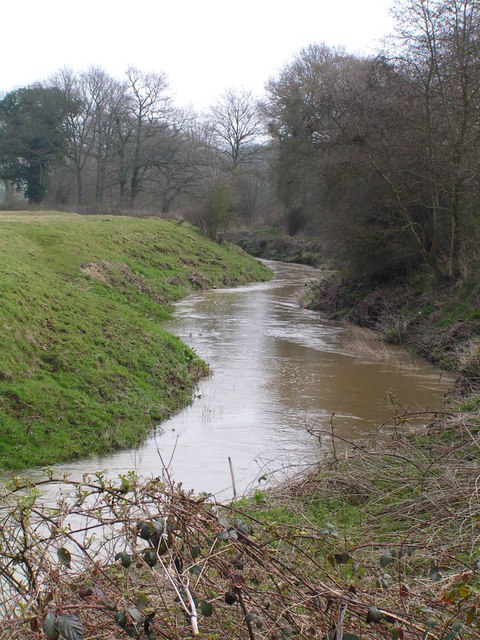
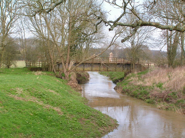
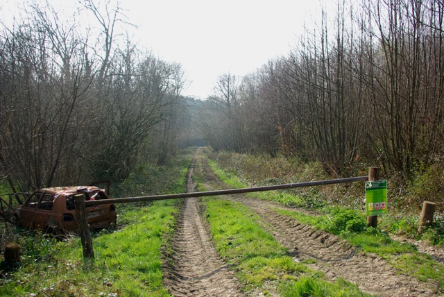
The woodland offers several well-maintained walking trails, allowing visitors to explore its enchanting surroundings. These paths wind through dense foliage, offering glimpses of tranquil ponds and streams along the way. The forest also houses a picnic area, where visitors can relax and enjoy the peaceful ambiance.

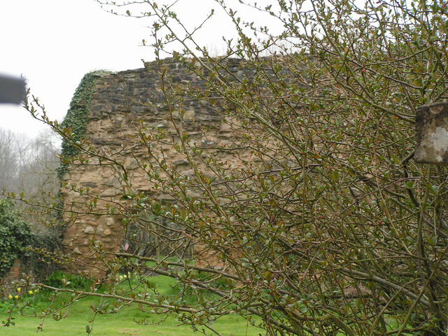
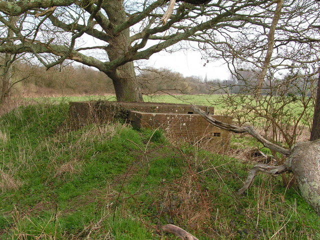
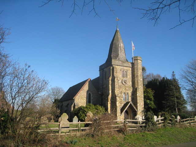
Lordship Wood holds immense historical and cultural importance. It is believed that the woodland has been in existence for centuries, and remnants of ancient settlements and burial sites have been discovered within its boundaries. The forest has also been featured in various artistic works, including paintings and literature, further highlighting its significance in the local culture.

Overall, Lordship Wood in Sussex is a captivating woodland that offers visitors a chance to immerse themselves in the beauty of nature while providing a glimpse into the area's rich history and biodiversity.

If you have any feedback on the listing, please let us know in the comments section below.

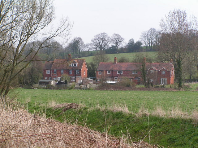
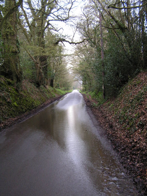
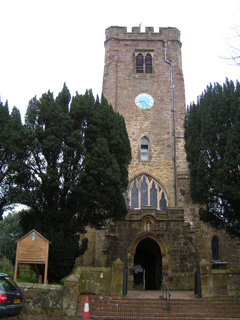
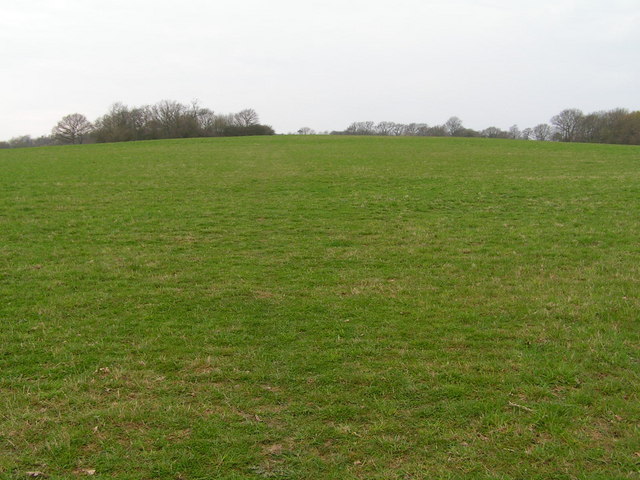
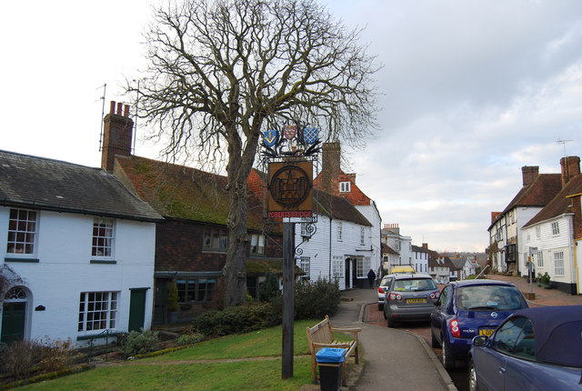
Lordship Wood Images

Images are sourced within 2km of 50.978634/0.5110611 or Grid Reference TQ7622. Thanks to Geograph Open Source API. All images are credited.

Hop Field
Hop Field
Robertsbridge abbey (rems of) These are the remains of the cistercian abbey, now not visitable as part of a private house.
Robertsbridge abbey (rems of)
These are the remains of the cistercian abbey, now not visitable as part of a private house.
River Rother The River Rother runs for 35 miles from Rotherfield, East Sussex, entering Kent after Bodiam where it follows the county border to Wittersham, where it rejoins East Sussex to the mouth at Rye.

There are two other River Rothers in Yorkshire and in Hampshire to West Sussex.
River Rother
The River Rother runs for 35 miles from Rotherfield, East Sussex, entering Kent after Bodiam where it follows the county border to Wittersham, where it rejoins East Sussex to the mouth at Rye. There are two other River Rothers in Yorkshire and in Hampshire to West Sussex.
Railway bridge crossing R. Rother This is now a dismantled railway, further east it becomes the Kent & East Sussex Railway.
Railway bridge crossing R. Rother
This is now a dismantled railway, further east it becomes the Kent & East Sussex Railway.
Rural Houses
Rural Houses
Udiam Gauging station on the R. Rother The River Rother runs for 35 miles from Rotherfield, East Sussex, entering Kent after Bodiam where it follows the county border to Wittersham, where it rejoins East Sussex to the mouth at Rye.

There are two other River Rothers in Yorkshire and in Hampshire to West Sussex.
Udiam Gauging station on the R. Rother
The River Rother runs for 35 miles from Rotherfield, East Sussex, entering Kent after Bodiam where it follows the county border to Wittersham, where it rejoins East Sussex to the mouth at Rye. There are two other River Rothers in Yorkshire and in Hampshire to West Sussex.
Sussex Sunken Lane
Sussex Sunken Lane
St Mary the Virgin Church, Salehurst
Fields with woodland behind
Cranham Woods
Cranham Woods
Pillbox by a bridge over the River Rother In 1940 a network of defences was hastily built all over Britain to prevent an expected German invasion. The most common of these defences were called “pillboxes”, squat concrete forts that were sited at road junctions, canals and other strategic points.

With the passage of time it is estimated that fewer than 6,000 of a total of 28,000 pillboxes built still survive. They remain as permanent monuments and a silent tribute to the courage and tenacity of the British people during the dark days of 1940 when Britain stood alone against Nazi Germany.

More detail see <span class="nowrap"><a title="www.pillboxesuk.co.uk" rel="nofollow ugc noopener" href="http://www.pillboxesuk.co.uk">Link</a><img style="margin-left:2px;" alt="External link" title="External link - shift click to open in new window" src="https://s1.geograph.org.uk/img/external.png" width="10" height="10"/></span>
Pillbox by a bridge over the River Rother
In 1940 a network of defences was hastily built all over Britain to prevent an expected German invasion. The most common of these defences were called “pillboxes”, squat concrete forts that were sited at road junctions, canals and other strategic points. With the passage of time it is estimated that fewer than 6,000 of a total of 28,000 pillboxes built still survive. They remain as permanent monuments and a silent tribute to the courage and tenacity of the British people during the dark days of 1940 when Britain stood alone against Nazi Germany. More detail see LinkExternal link
Dismantled Railway West of Bodiam
Road Junction at Shoreham Lane The small sandstone escarpment provides an interesting backdrop to this junction, on the way to Broad Oak and Brede from Bodiam.
Road Junction at Shoreham Lane
The small sandstone escarpment provides an interesting backdrop to this junction, on the way to Broad Oak and Brede from Bodiam.
Staplecross War Memorial War Memorial commemorating the fallen from both world wars at Staplecross.
Staplecross War Memorial
War Memorial commemorating the fallen from both world wars at Staplecross.
Poppinghole Lane and Newpond Farm The car is parked opposite a cottage hidden by the hedge.
Poppinghole Lane and Newpond Farm
The car is parked opposite a cottage hidden by the hedge.
Entrance, Vinehall Forest Forestry Commission with public access. A pity about the car.
Entrance, Vinehall Forest
Forestry Commission with public access. A pity about the car.
View south from Udiam Lane The closest wood is Ren's Wood.
View south from Udiam Lane
The closest wood is Ren's Wood.
Udiam Lane Of lane dimensions and name, but only with public footpath status, it is a long time since anyone has used it for anything else.
Udiam Lane
Of lane dimensions and name, but only with public footpath status, it is a long time since anyone has used it for anything else.
Show me another place!

Lordship Wood is located at Grid Ref: TQ7622 (Lat: 50.978634, Lng: 0.5110611)

Administrative County: East Sussex

District: Rother

Police Authority: Sussex

What 3 Words

///rainbow.noun.tuck. Near Robertsbridge, East Sussex

Related Wikis

Junction Road Halt railway station

Junction Road Halt, also known as Junction Road (for Hawkhurst), was a halt station on the Kent and East Sussex Railway. It was located on the eastern...

Ewhurst, East Sussex

Ewhurst is a civil parish in the Rother district of East Sussex, England. The parish is on the southern ridge of the River Rother valley, and much of the...

Salehurst Halt railway station

Salehurst Halt was a halt station on the Kent and East Sussex Railway which served the village of Salehurst in East Sussex, England. The station was reached...
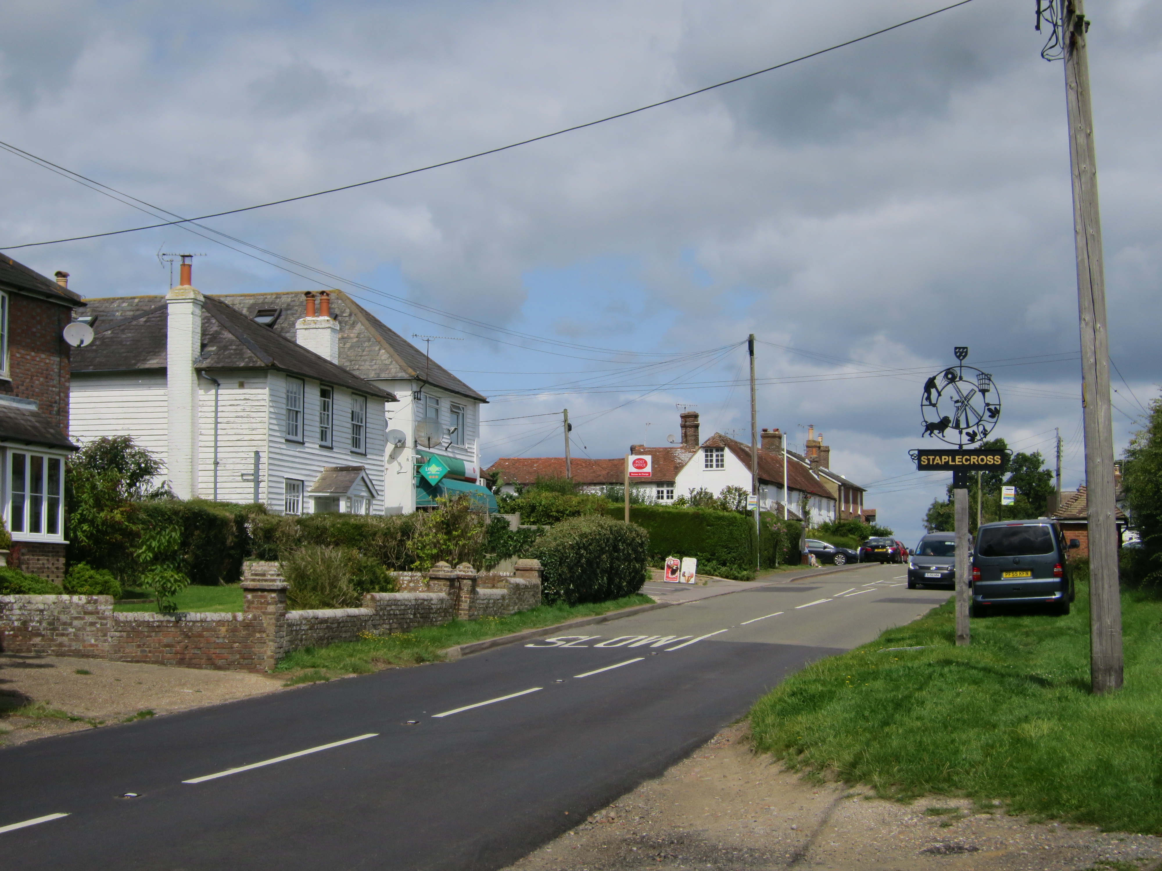
Staplecross

Staplecross is a village in the civil parish of Ewhurst and the Rother district of East Sussex, England. Staplecross is the largest settlement in Ewhurst...

Robertsbridge Abbey

Robertsbridge Abbey was a Cistercian abbey in Robertsbridge, East Sussex, England. It was founded in 1176 by Alured and Alicia de St Martin. Due to its...

Cripps Corner

Cripps Corner is a village in the civil parish of Ewhurst and the Rother district of East Sussex, England. It is in the High Weald Area of Outstanding...

Sedlescombe vineyard

Sedlescombe organic vineyard is an English vineyard located in Robertsbridge, just outside Sedlescombe in East Sussex.It is one of the few British vineyards...

Salehurst and Robertsbridge

Salehurst and Robertsbridge is a civil parish in the Rother district, in the county of East Sussex, England. The parish lies entirely within an Area of...

Have you been to Lordship Wood?

Leave your review of Lordship Wood below (or comments, questions and feedback).