Dargets Wood
Wood, Forest in Kent
England
Dargets Wood

Dargets Wood is a picturesque woodland located in the county of Kent, England. Situated just outside the village of Wood, this forested area covers an approximate area of 100 acres. It is a popular destination for nature enthusiasts, hikers, and those seeking a tranquil escape from the bustling city life.
The woodland is characterized by its dense canopy of trees, predominantly consisting of oak, beech, and ash. These mature trees create a serene and shaded environment, perfect for a leisurely stroll or a picnic amidst nature. Dappled sunlight filters through the foliage, casting a beautiful pattern on the forest floor.
The forest is home to a diverse array of flora and fauna. Wildflowers such as bluebells, primroses, and wood anemones adorn the forest floor during the spring months, creating a vibrant carpet of colors. Birdsong fills the air as various species, including robins, blackbirds, and woodpeckers, make their nests in the trees.
Dargets Wood also boasts a network of well-maintained footpaths and trails, allowing visitors to explore its beauty at their own pace. The paths wind through the forest, offering glimpses of hidden glades and small streams. There are also designated picnic areas and benches scattered throughout the woods, providing visitors with the opportunity to pause and appreciate the tranquility of their surroundings.
Overall, Dargets Wood in Kent is a natural haven, offering a peaceful retreat for those seeking solace in nature. Its natural beauty, diverse ecosystem, and well-maintained trails make it a must-visit destination for anyone looking to immerse themselves in the idyllic charm of the English countryside.
If you have any feedback on the listing, please let us know in the comments section below.
Dargets Wood Images
Images are sourced within 2km of 51.33881/0.53067143 or Grid Reference TQ7663. Thanks to Geograph Open Source API. All images are credited.


Dargets Wood is located at Grid Ref: TQ7663 (Lat: 51.33881, Lng: 0.53067143)
Unitary Authority: Medway
Police Authority: Kent
What 3 Words
///oiled.slope.remind. Near Burham, Kent
Nearby Locations
Related Wikis
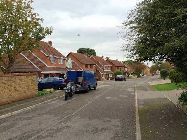
Walderslade
Walderslade is a large suburb in Kent to the south of Chatham split between the unitary authority of Medway and the boroughs of Maidstone and Tonbridge...

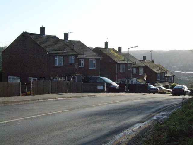
Lordswood, Kent
Lordswood is a southern suburb of Chatham, Kent, located approximately 3 miles south of Chatham town centre. It is primarily in Medway but a small southern...
Lordswood F.C.
Lordswood Football Club is a football club based in the Lordswood suburb of Chatham, England. They are currently members of the Southern Counties East...
Greenacre Academy
Greenacre Academy (formerly Greenacre School and before that Walderslade Boys School), is a boys' secondary school with shared sixth form located in Walderslade...
Walderslade Girls' School
Walderslade Girls' School is a secondary school and sixth form for girls located in Walderslade in the English county of Kent. == Governance == The school...
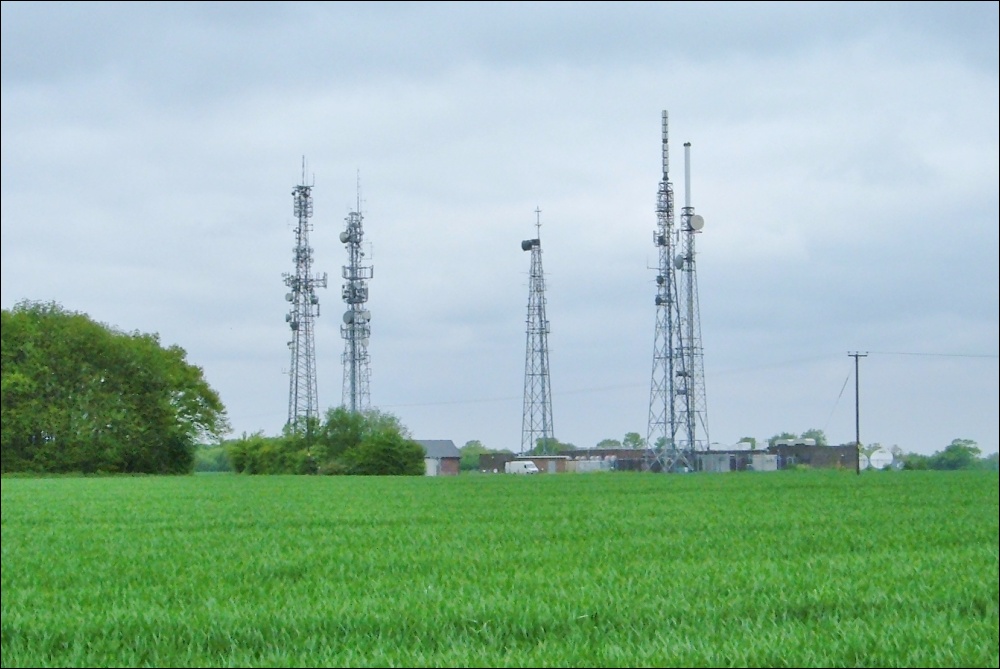
Bluebell Hill transmitting station
The Bluebell Hill transmitting station is a broadcasting and telecommunications facility located at Blue Bell Hill between Maidstone and Rochester in the...
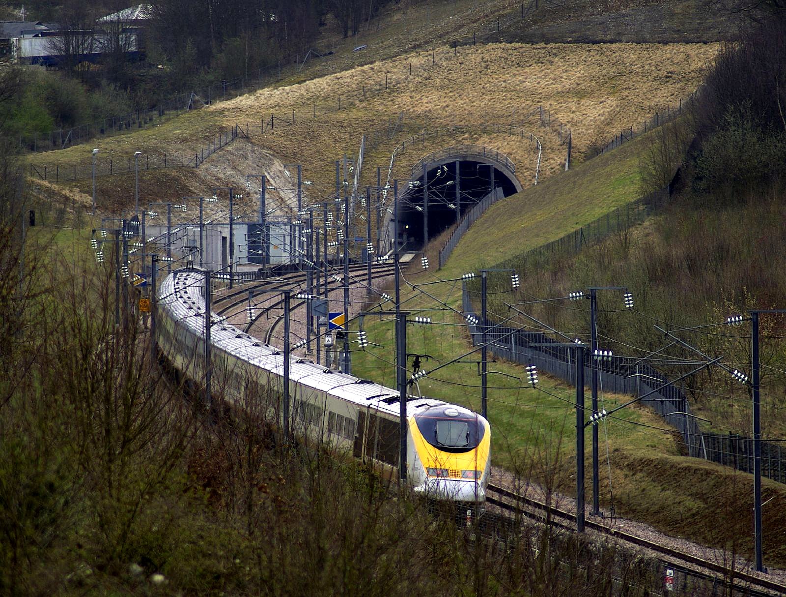
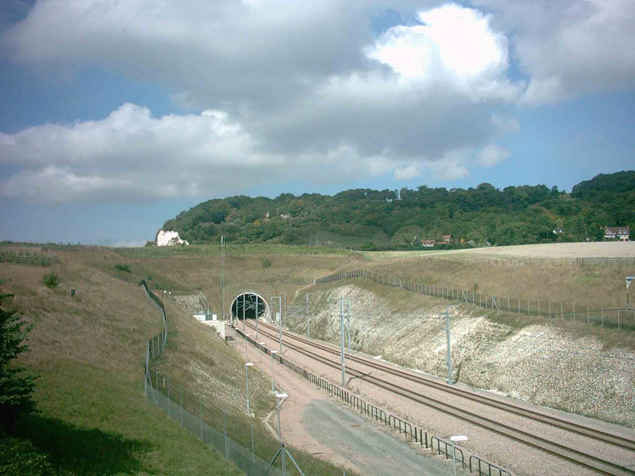
North Downs Tunnel
The North Downs Tunnel, also known as the Blue Bell Hill Tunnel, is a railway tunnel that carries High Speed 1 through the North Downs, at Blue Bell Hill...
Blue Bell Hill (village)
Blue Bell Hill is a village in the Aylesford parish of the borough of Tonbridge and Malling in Kent, England. It is located halfway between Chatham and...
Nearby Amenities
Located within 500m of 51.33881,0.53067143Have you been to Dargets Wood?
Leave your review of Dargets Wood below (or comments, questions and feedback).