Cambrian Plantation
Wood, Forest in Norfolk Breckland
England
Cambrian Plantation
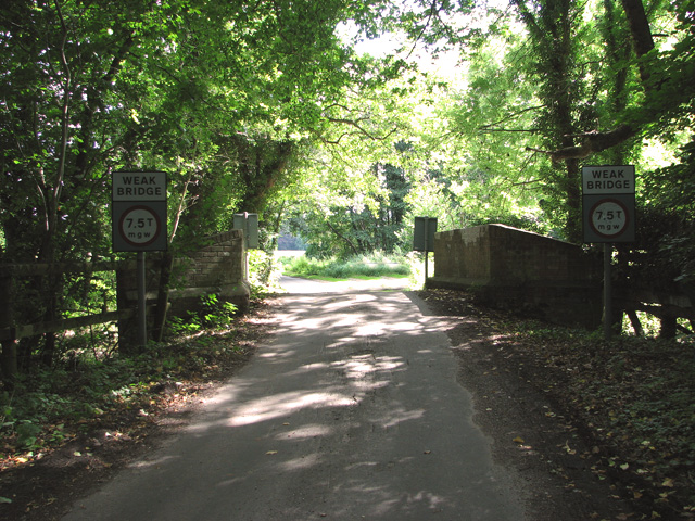
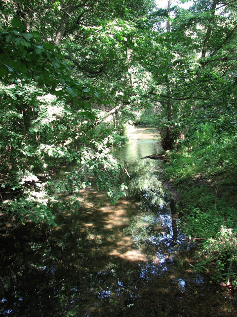
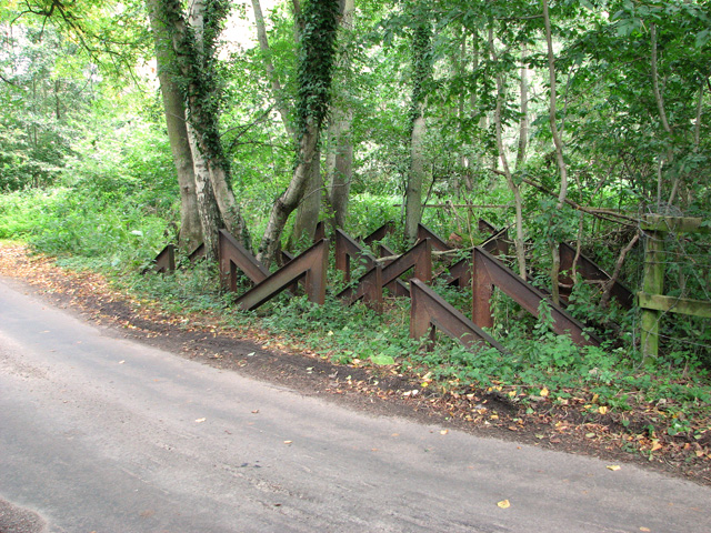
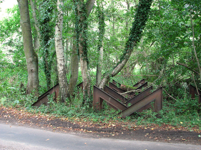
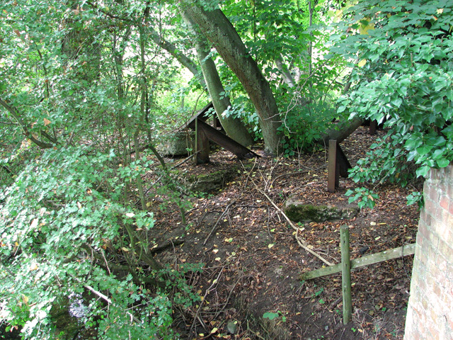
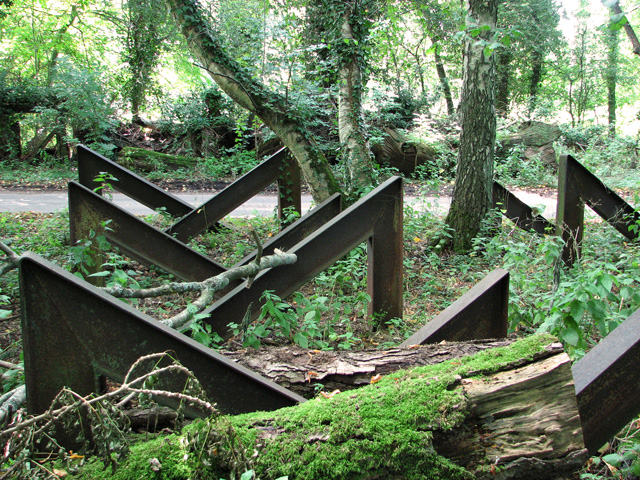
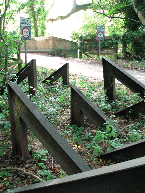
Cambrian Plantation, located in Norfolk, is a picturesque woodland area known for its rich biodiversity and natural beauty. The plantation spans across a vast area, encompassing dense woodlands and pristine forests that have been meticulously preserved for generations.
The main attraction of Cambrian Plantation is its lush greenery, with a variety of different tree species dominating the landscape. Majestic oak and beech trees can be found scattered throughout the woodland, creating a serene and tranquil atmosphere. The forest floor is covered in a thick carpet of moss, adding to the enchanting ambiance of the plantation.
The plantation is not only a haven for nature lovers but also a sanctuary for a diverse range of wildlife. Visitors may be fortunate enough to spot various bird species, such as owls, woodpeckers, and thrushes, as they soar through the treetops. Squirrels and other small mammals can also be seen scurrying about, adding to the vibrant ecosystem.
For those seeking outdoor activities, Cambrian Plantation offers a network of well-maintained walking trails that wind through the woodland, allowing visitors to explore the natural wonders at their own pace. The trails are suitable for all levels of fitness, making it an ideal destination for families and outdoor enthusiasts alike.
Overall, Cambrian Plantation in Norfolk is a captivating destination that showcases the beauty of nature. With its stunning woodlands, diverse wildlife, and scenic walking trails, it offers a memorable experience for anyone looking to immerse themselves in the tranquility of the countryside.
If you have any feedback on the listing, please let us know in the comments section below.
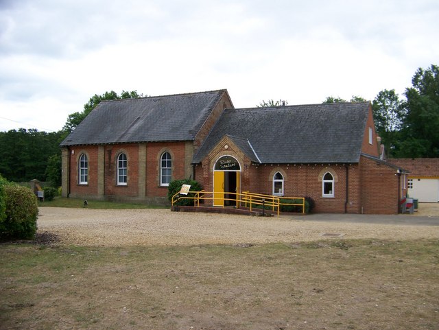
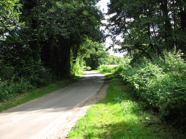
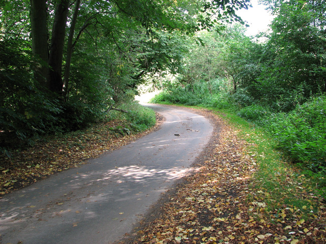
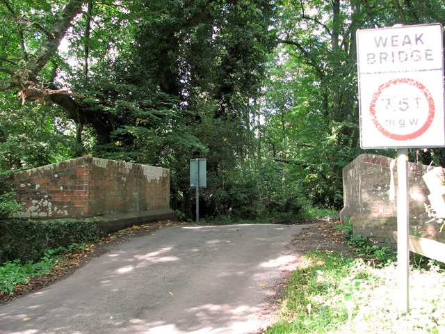
Cambrian Plantation Images
Images are sourced within 2km of 52.690123/0.6081097 or Grid Reference TF7613. Thanks to Geograph Open Source API. All images are credited.

Cambrian Plantation is located at Grid Ref: TF7613 (Lat: 52.690123, Lng: 0.6081097)
Administrative County: Norfolk
District: Breckland
Police Authority: Norfolk
What 3 Words
///soggy.calm.glassware. Near Narborough, Norfolk
Related Wikis

Narford
Narford is situated in the Breckland District of Norfolk and covers an area of 970 hectares (3.75 square miles). Narford village has all but disappeared...

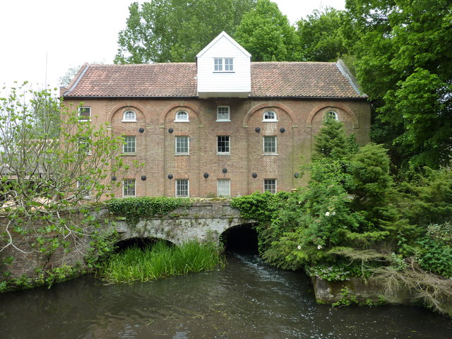
Narborough Watermill
Narborough Watermill is located on the river Nar, within the village of Narborough in the English county of Norfolk. The watermill is thought to have been...
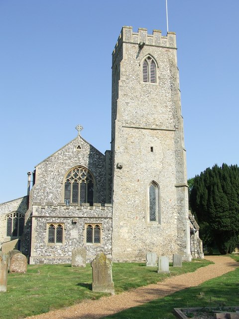
Narborough, Norfolk
Narborough is a village of 1405 hectares in the Breckland district of Norfolk, England, with a population of 1,094 at the 2011 census. It is situated...
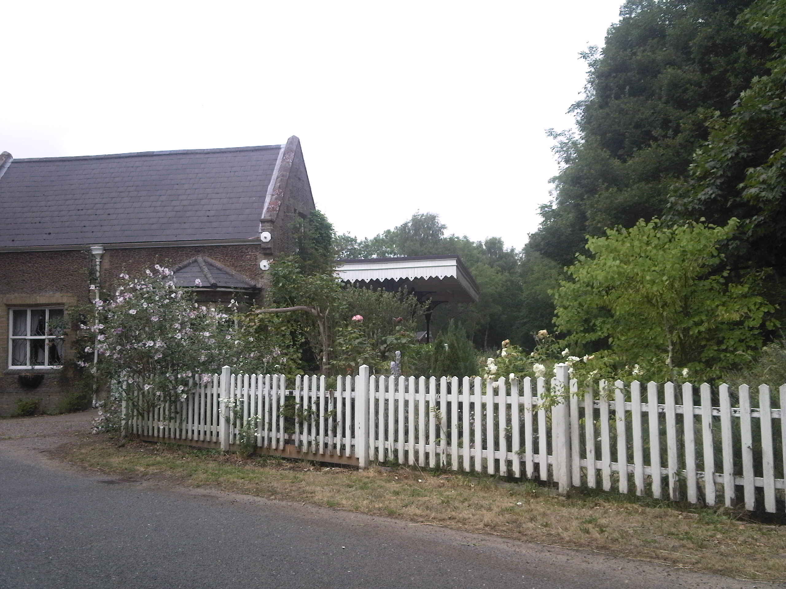
Narborough and Pentney railway station
Narborough and Pentney station was in Norfolk, serving the villages of Narborough and Pentney. == History == It was on the line between King's Lynn and...

West Acre Priory
West Acre Priory of St. Mary and All Saints was a medieval monastic house at West Acre in the King's Lynn and West Norfolk district of Norfolk, England...

West Acre
West Acre is a village and civil parish in the King's Lynn and West Norfolk district of the county of Norfolk, England. It covers an area of 14.49 km2...
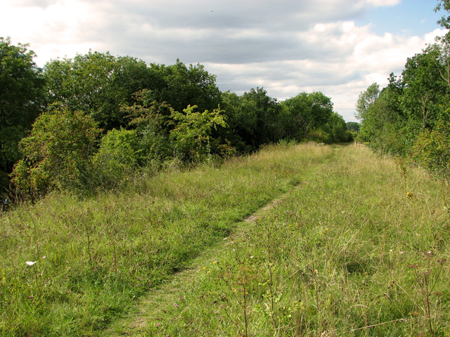
Narborough Railway Line
Narborough Railway Line or Narborough Railway Embankment is a 7.9-hectare (20-acre) biological Site of Special Scientific Interest south-east of King's...

East Walton
East Walton is a village in the English county of Norfolk. The village is located 7.8 miles (12.6 km) south-east of King's Lynn and 31 miles (50 km) north...
Nearby Amenities
Located within 500m of 52.690123,0.6081097Have you been to Cambrian Plantation?
Leave your review of Cambrian Plantation below (or comments, questions and feedback).