Alder Shaw
Wood, Forest in Sussex Rother
England
Alder Shaw
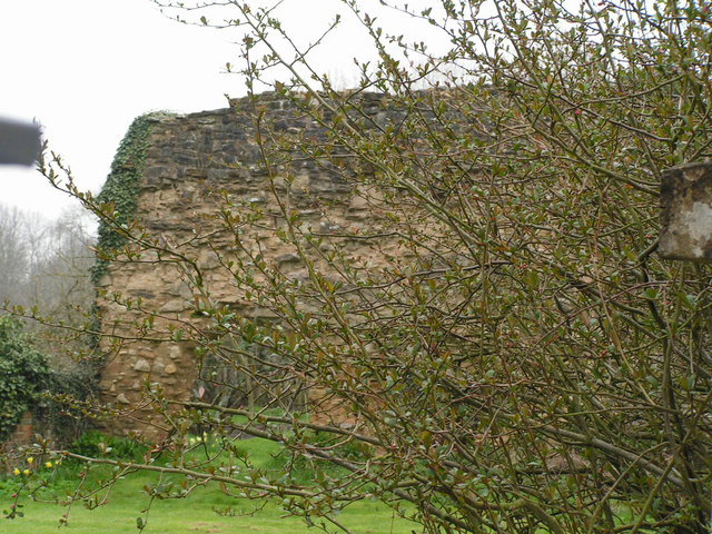
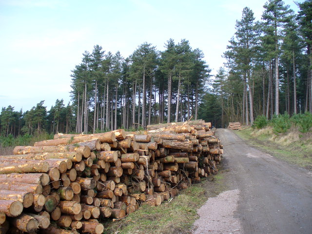
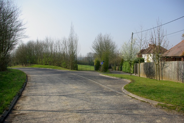
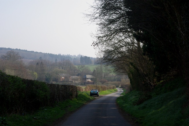
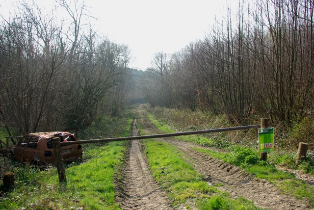
Alder Shaw, Sussex, also known as Alder Wood or Alder Forest, is a picturesque and serene natural area located in the county of Sussex in southern England. Covering an approximate area of 500 acres, it is a haven for nature enthusiasts and a popular destination for outdoor activities.
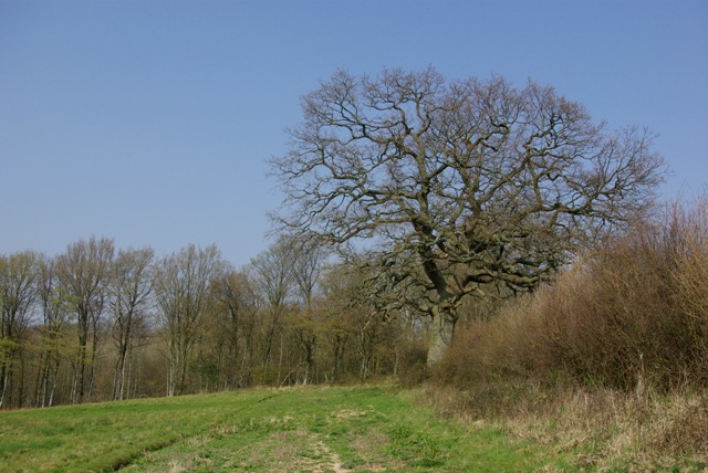
The forest is named after the abundant population of alder trees that dominate the landscape. These trees, known for their distinctive light brown bark and serrated leaves, create a dense canopy that provides shade and shelter for a wide variety of flora and fauna.
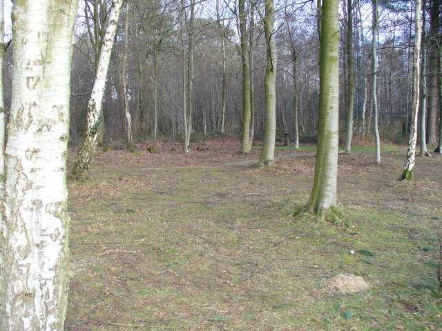
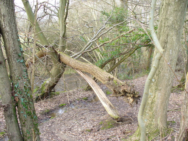
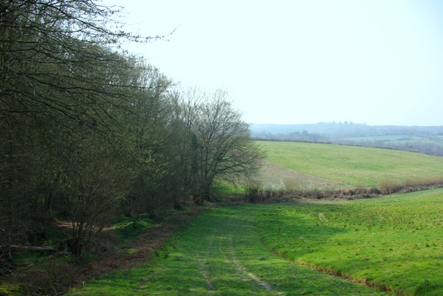
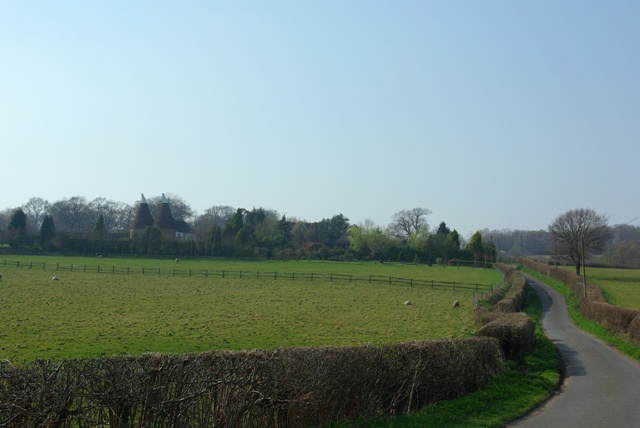
Alder Shaw boasts a diverse ecosystem, with a mix of wetland areas, meadows, and dense woodland. The wetlands are home to numerous species of birds, including herons, kingfishers, and ducks, making it a haven for birdwatchers. The meadows, on the other hand, are adorned with vibrant wildflowers during the spring and summer months, attracting bees and butterflies.
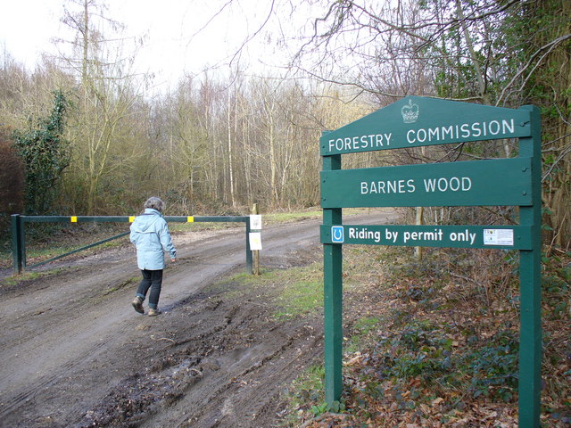
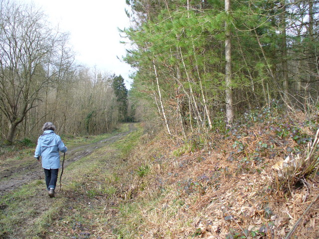
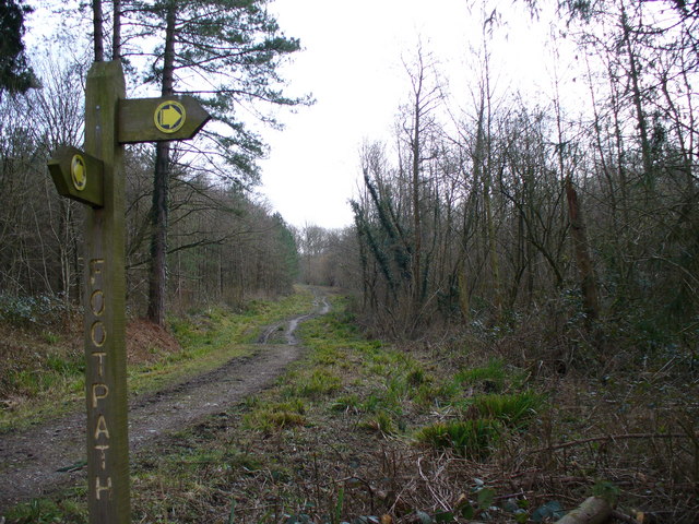
The forest also offers an extensive network of walking trails, allowing visitors to explore its beauty at their own pace. These trails wind through the woodland, offering glimpses of ancient trees, babbling brooks, and occasional wildlife sightings. The peaceful atmosphere of Alder Shaw makes it a perfect spot for hikers, joggers, and those seeking a moment of tranquility away from the hustle and bustle of city life.
Overall, Alder Shaw, Sussex is a natural oasis that showcases the beauty and biodiversity of the English countryside. With its rich flora and fauna, diverse landscapes, and recreational opportunities, it is a place that appeals to both nature lovers and outdoor enthusiasts alike.
If you have any feedback on the listing, please let us know in the comments section below.
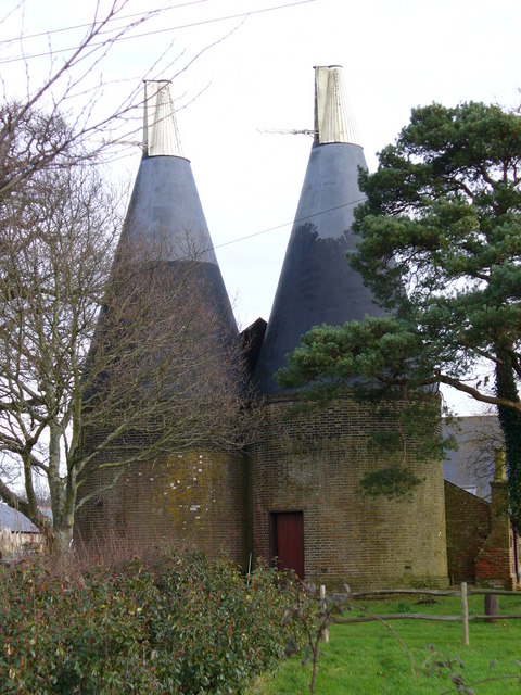
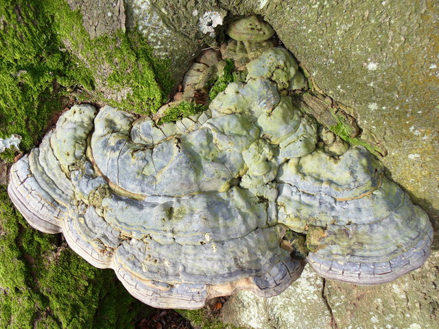
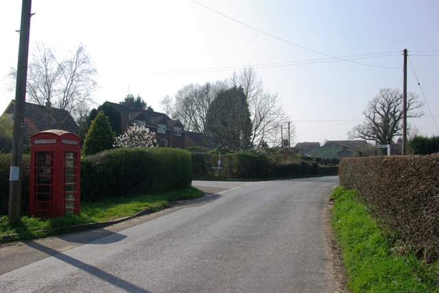
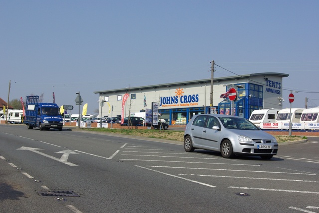
Alder Shaw Images
Images are sourced within 2km of 50.970167/0.49779855 or Grid Reference TQ7521. Thanks to Geograph Open Source API. All images are credited.
Alder Shaw is located at Grid Ref: TQ7521 (Lat: 50.970167, Lng: 0.49779855)
Administrative County: East Sussex
District: Rother
Police Authority: Sussex
What 3 Words
///interview.quarrel.explains. Near Robertsbridge, East Sussex
Nearby Locations
Related Wikis

Vinehall School
Vinehall School is a co-educational day, boarding school and nursery located at Vinehall Street, near the town of Robertsbridge, East Sussex. It takes...

Vinehall Street
Vinehall Street (or Vinehall), is a linear settlement in the civil parishes of Mountfield and Whatlington, and the Rother district of East Sussex, England...

Mountfield, East Sussex
Mountfield is a village and civil parish in the Rother district of East Sussex, England, and three miles (5 km) north-west of Battle. It is mentioned in...

Salehurst Halt railway station
Salehurst Halt was a halt station on the Kent and East Sussex Railway which served the village of Salehurst in East Sussex, England. The station was reached...

Robertsbridge Abbey
Robertsbridge Abbey was a Cistercian abbey in Robertsbridge, East Sussex, England. It was founded in 1176 by Alured and Alicia de St Martin. Due to its...

Cripps Corner
Cripps Corner is a village in the civil parish of Ewhurst and the Rother district of East Sussex, England. It is in the High Weald Area of Outstanding...
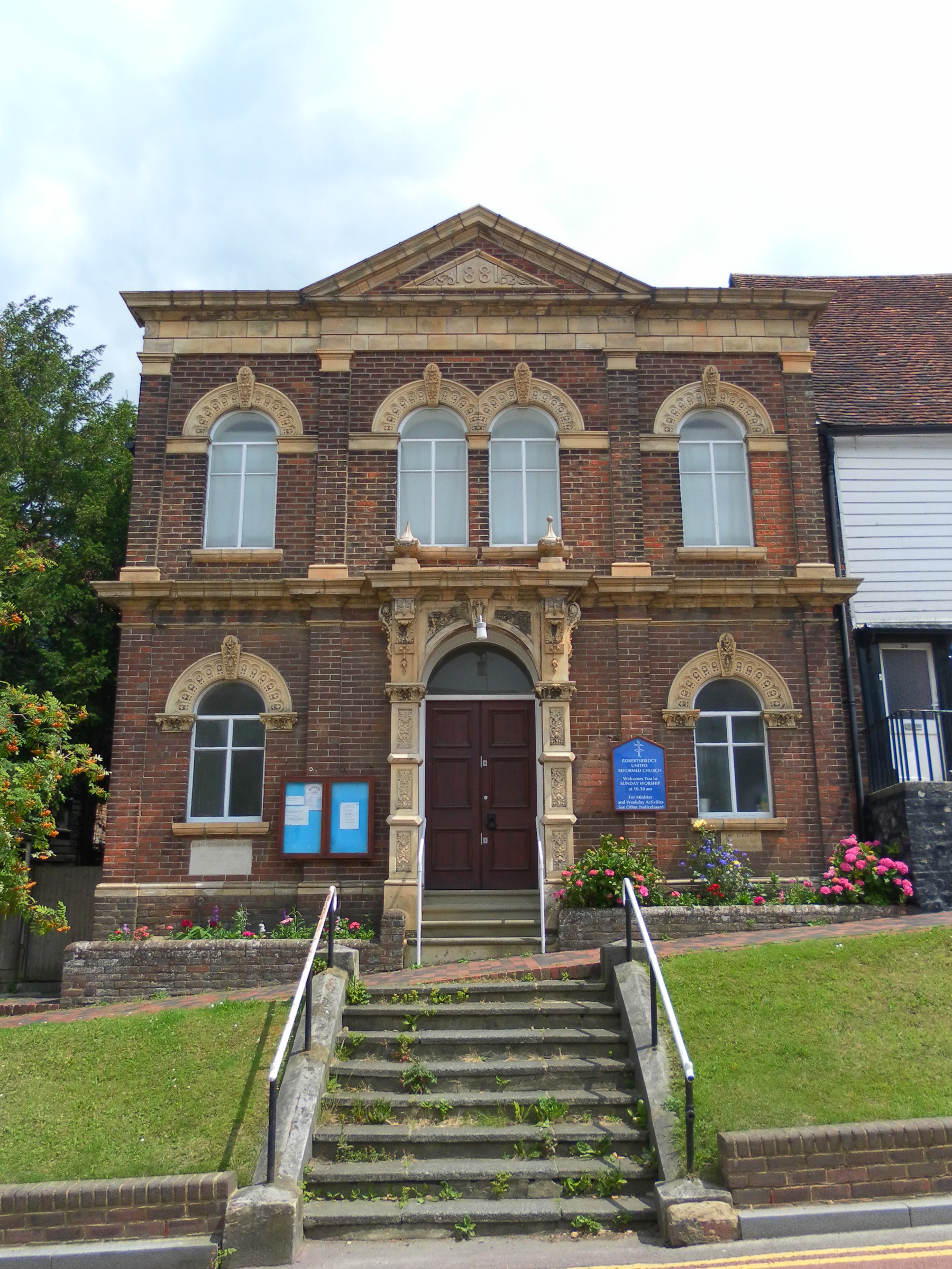
Robertsbridge United Reformed Church
Robertsbridge United Reformed Church (originally Robertsbridge Congregational Chapel) is a former United Reformed Church place of worship in Robertsbridge...
Mountfield Halt railway station
Mountfield Halt (TQ 746 197 50°57′01″N 0°29′12″E) was situated on the Hastings Line between Robertsbridge and Battle. It opened in 1923 and was closed...
Related Videos
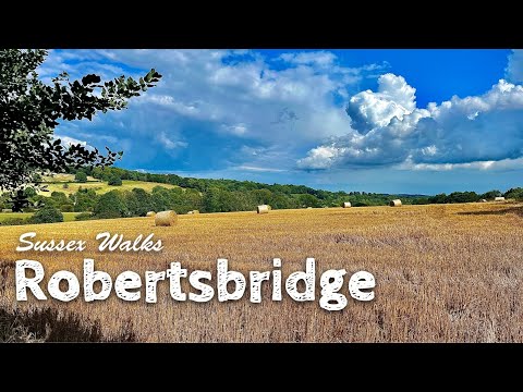
England 🏴: Sussex Walks | Robertsbridge
After finding this route on my AllTrails app, I decided to give it a try. A lovely hike, starting close to Robertsbridge railway station in ...

Ox Lodge Adventures (Wandering Wallis's)
A small adventure back in Robertsbridge, renting the other holiday let that belongs to the same people who owned Coblye Barn in ...

Nearby Amenities
Located within 500m of 50.970167,0.49779855Have you been to Alder Shaw?
Leave your review of Alder Shaw below (or comments, questions and feedback).