Brickhouse Wood
Wood, Forest in Essex Braintree
England
Brickhouse Wood

Brickhouse Wood is a picturesque forest located in Essex, England. Covering an area of approximately 20 acres, this wood is a popular destination for nature enthusiasts and outdoor enthusiasts alike.
The wood boasts a diverse range of flora and fauna, including ancient oak and beech trees that tower over the forest floor. These majestic trees provide a canopy of shade during the summer months, creating a cool and tranquil atmosphere for visitors to enjoy. Bluebells, wild garlic, and various ferns carpet the forest floor, adding to its natural beauty.
Walking trails meander through Brickhouse Wood, offering visitors the opportunity to explore its hidden gems. The trails are well-maintained and signposted, ensuring a hassle-free experience for visitors. Along the way, visitors may encounter wildlife such as deer, foxes, and a variety of bird species, making it a haven for wildlife enthusiasts and photographers.
In addition to its natural beauty, Brickhouse Wood also has historical significance. The wood was once used for timber production and charcoal making, a practice that dates back centuries. Remnants of old charcoal hearths can still be found within the wood, serving as a reminder of its rich past.
Overall, Brickhouse Wood is a haven of tranquility and natural beauty. Its combination of ancient trees, diverse wildlife, and historical significance makes it a must-visit destination for anyone seeking solace in nature.
If you have any feedback on the listing, please let us know in the comments section below.
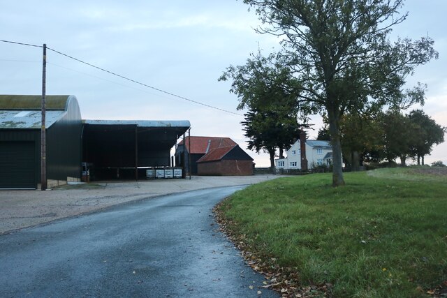
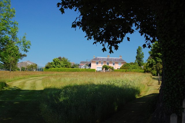
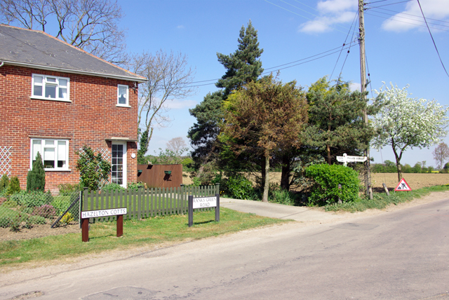
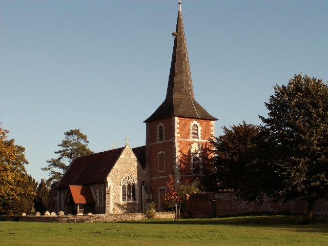
Brickhouse Wood Images
Images are sourced within 2km of 51.821098/0.54470091 or Grid Reference TL7516. Thanks to Geograph Open Source API. All images are credited.


Brickhouse Wood is located at Grid Ref: TL7516 (Lat: 51.821098, Lng: 0.54470091)
Administrative County: Essex
District: Braintree
Police Authority: Essex
What 3 Words
///treatable.graver.oppose. Near Great Leighs, Essex
Nearby Locations
Related Wikis
Fuller Street
Fuller Street is a hamlet in the civil parish of Fairstead and the Braintree District of Essex, England. The hamlet's public house is the Square and Compasses...
Rank's Green
Rank's Green or Ranks Green is a hamlet in the Braintree district, in the county of Essex, England. Other nearby settlements include the town of Braintree...

Fairstead, Essex
Fairstead is a village and civil parish in the Braintree district of Essex, England. Whilst isolated in a community of farming hamlets, the parish of Fairstead...

River Ter SSSI
The River Ter SSSI is a stretch of the River Ter and its banks south of Great Leighs in Essex which has been designated a geological Site of Special Scientific...

Terling Windmill
Terling Windmill is a grade II listed Smock mill at Terling, Essex, England, which has been converted to residential use. == History == Terling Windmill...

Lyons Hall, Essex
Lyons Hall is a Grade II listed house in Great Leighs, Essex. The house dates to the 15th century. The house has been home to the Tritton banking family...
Terling
Terling (pronounced Ter-ling) is a village and civil parish in the county of Essex, England, between Braintree to the north, Chelmsford to the south-west...
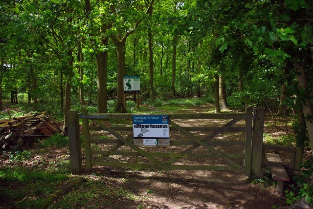
Sandylay and Moat Woods
Sandylay and Moat Woods is a 7.5-hectare (19-acre) nature reserve east of Great Leighs in Essex. It is owned and managed by the Essex Wildlife Trust.These...
Nearby Amenities
Located within 500m of 51.821098,0.54470091Have you been to Brickhouse Wood?
Leave your review of Brickhouse Wood below (or comments, questions and feedback).