Fern Wood
Wood, Forest in Sussex Rother
England
Fern Wood
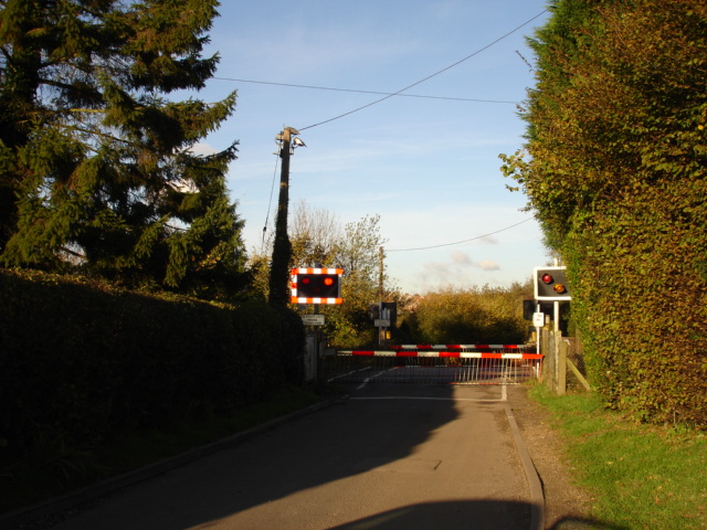
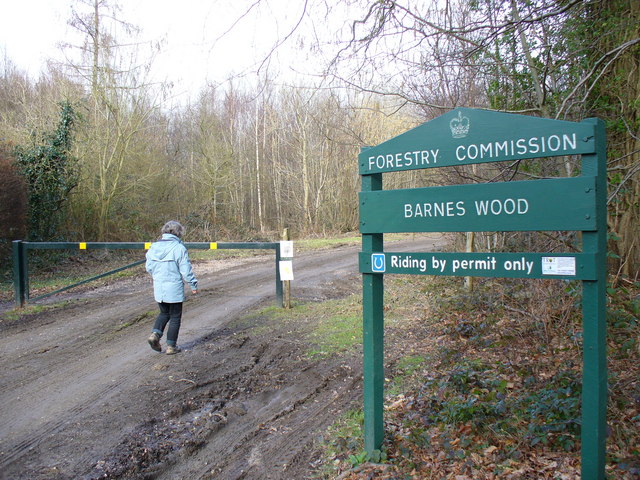
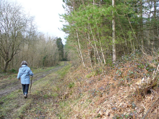
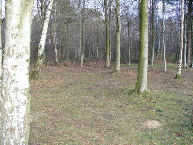
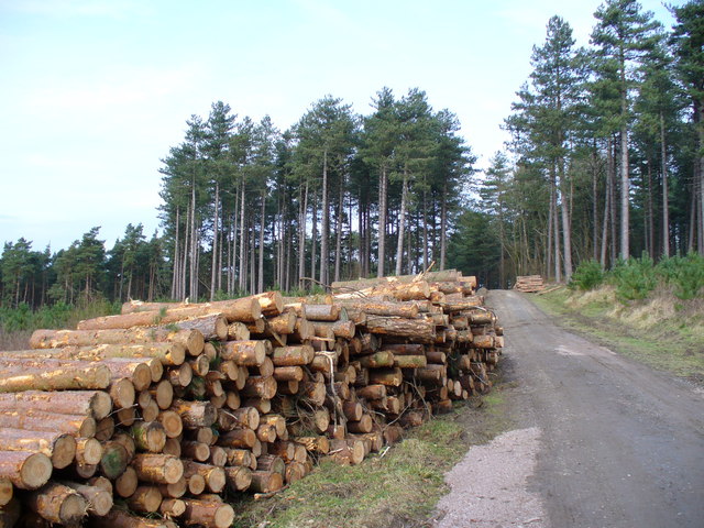
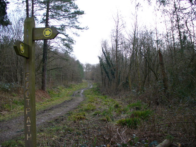
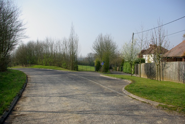
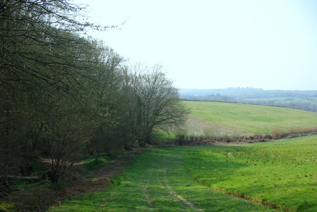
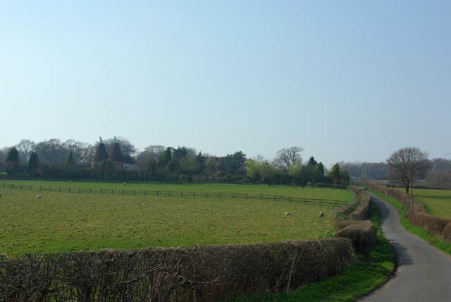
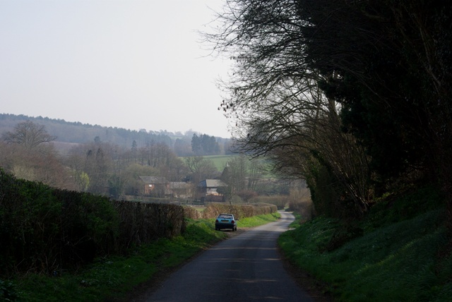
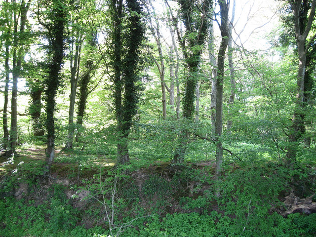
Fern Wood is a picturesque forest located in Sussex, England. Covering an expansive area of land, it is known for its dense foliage, towering trees, and diverse range of plant and animal species.
The wood is named after the abundance of ferns that thrive within its borders. These elegant green plants create a lush and vibrant atmosphere, providing a tranquil and serene setting for visitors to enjoy. The ferns are complemented by a variety of other plants, including wildflowers, mosses, and ivy, which further enhance the natural beauty of the wood.
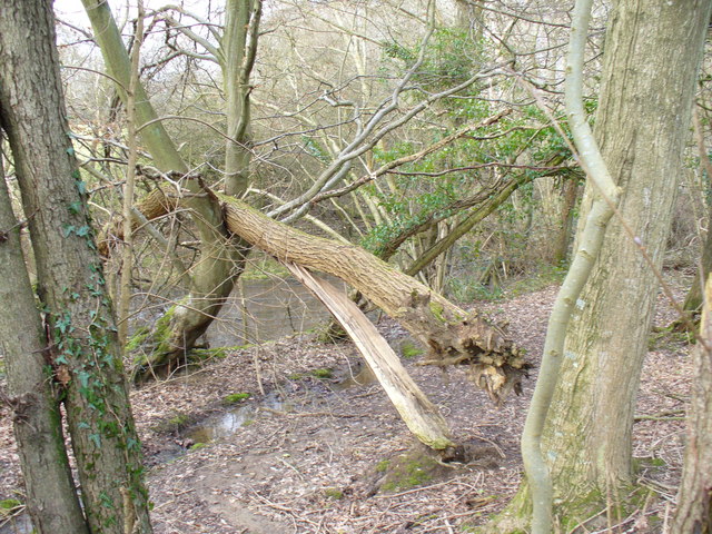
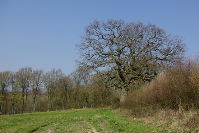
The towering trees in Fern Wood create a majestic canopy overhead, casting dappled sunlight on the forest floor below. Oak, beech, and ash trees dominate the landscape, their gnarled trunks and sprawling branches giving the wood a timeless and enchanted feel. The wood is also home to several rare and protected species, such as the silver birch and the yew tree, which add to its ecological significance.
Wildlife abounds in Fern Wood, with numerous species of birds, mammals, and insects calling it home. Visitors may catch glimpses of squirrels scampering through the branches, deer grazing in the clearings, or even the occasional fox darting through the undergrowth. The forest provides a vital habitat for these creatures, preserving their natural habitats and contributing to the overall biodiversity of the area.
Fern Wood is a popular destination for nature enthusiasts, hikers, and photographers alike. Its tranquil beauty, diverse ecosystem, and abundant wildlife make it a truly enchanting place to explore and appreciate the wonders of the natural world.
If you have any feedback on the listing, please let us know in the comments section below.
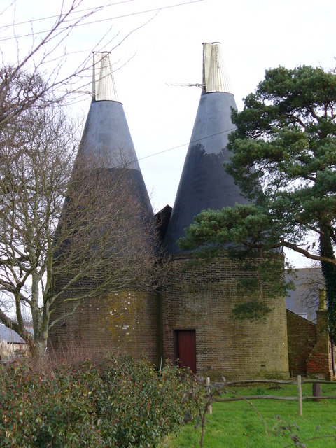
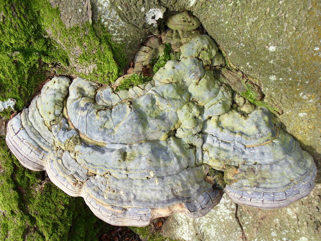
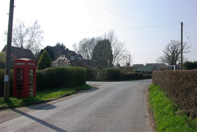
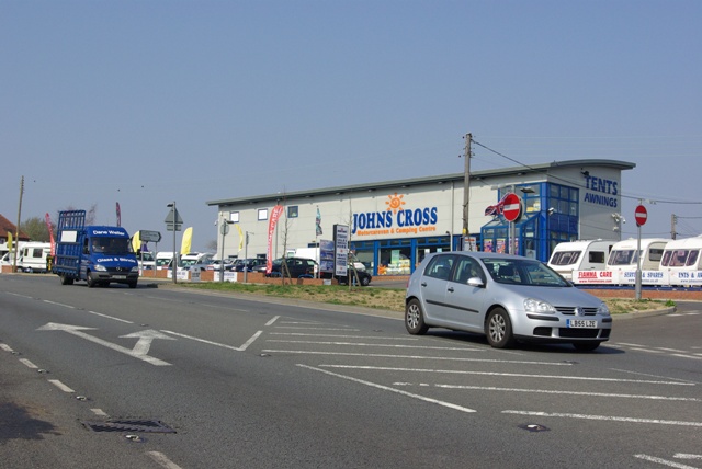
Fern Wood Images
Images are sourced within 2km of 50.963821/0.49381202 or Grid Reference TQ7521. Thanks to Geograph Open Source API. All images are credited.

Fern Wood is located at Grid Ref: TQ7521 (Lat: 50.963821, Lng: 0.49381202)
Administrative County: East Sussex
District: Rother
Police Authority: Sussex
What 3 Words
///throwaway.wired.twins. Near Robertsbridge, East Sussex
Nearby Locations
Related Wikis

Vinehall School
Vinehall School is a co-educational day, boarding school and nursery located at Vinehall Street, near the town of Robertsbridge, East Sussex. It takes...

Vinehall Street
Vinehall Street (or Vinehall), is a linear settlement in the civil parishes of Mountfield and Whatlington, and the Rother district of East Sussex, England...

Mountfield, East Sussex
Mountfield is a village and civil parish in the Rother district of East Sussex, England, and three miles (5 km) north-west of Battle. It is mentioned in...
Mountfield Halt railway station
Mountfield Halt (TQ 746 197 50°57′01″N 0°29′12″E) was situated on the Hastings Line between Robertsbridge and Battle. It opened in 1923 and was closed...

Cripps Corner
Cripps Corner is a village in the civil parish of Ewhurst and the Rother district of East Sussex, England. It is in the High Weald Area of Outstanding...
Sedlescombe vineyard
Sedlescombe organic vineyard is an English vineyard located in Robertsbridge, just outside Sedlescombe in East Sussex.It is one of the few British vineyards...
Glottenham Castle
Glottenham Castle was a castle in Mountfield, East Sussex, around 5 miles (8 km) north of Battle Abbey. Built in the 13th century, it was abandoned in...
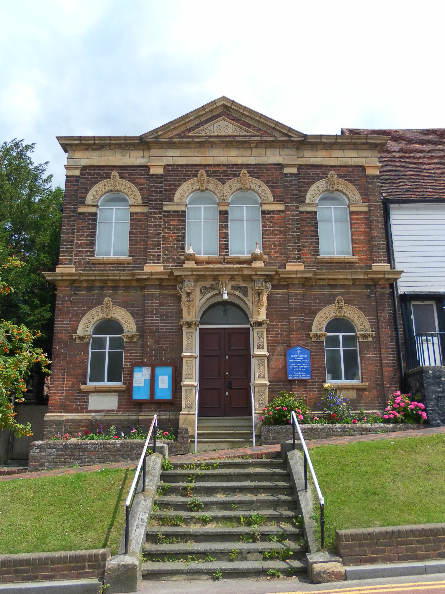
Robertsbridge United Reformed Church
Robertsbridge United Reformed Church (originally Robertsbridge Congregational Chapel) is a former United Reformed Church place of worship in Robertsbridge...
Nearby Amenities
Located within 500m of 50.963821,0.49381202Have you been to Fern Wood?
Leave your review of Fern Wood below (or comments, questions and feedback).