Cranhousefield Belt
Wood, Forest in Suffolk West Suffolk
England
Cranhousefield Belt
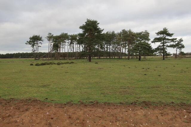
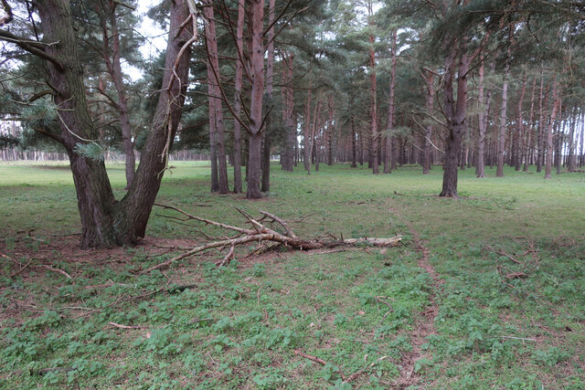
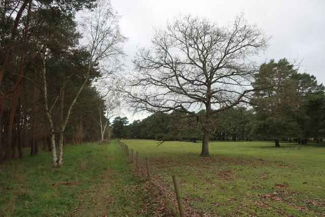
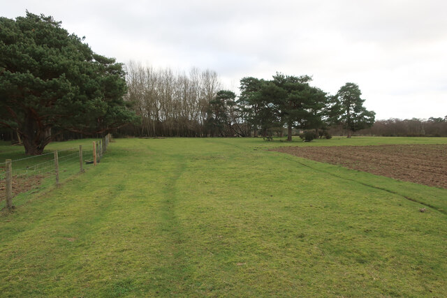
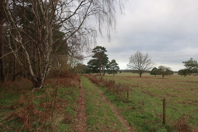
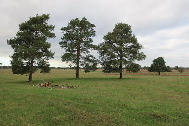
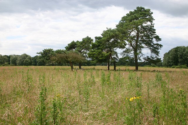
Cranhousefield Belt is a woodland area located in Suffolk, England. Covering an approximate area of 200 acres, it is known for its dense forest and diverse range of trees and plant species. The belt is situated in close proximity to the small village of Cranhousefield, which lends its name to the woodland.
The forest comprises a mix of broadleaf and coniferous trees, with oak, beech, and pine being prevalent. This variety of tree species contributes to the rich biodiversity found within the belt, attracting numerous bird, insect, and animal species.
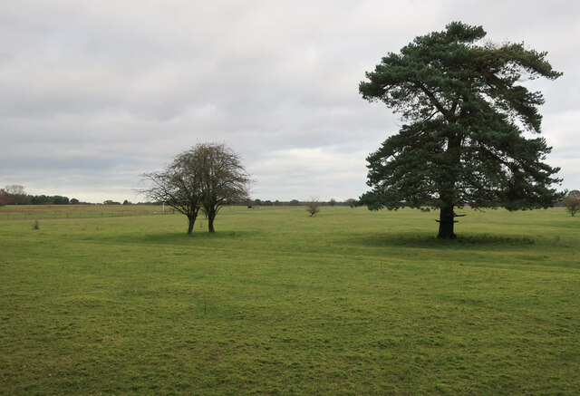
Cranhousefield Belt is a popular destination for nature enthusiasts and hikers, offering a range of walking trails that meander through the woodland. These trails provide visitors with the opportunity to explore the different sections of the forest, each with its own distinct characteristics.
The woodland is well-maintained, with clear paths and signage ensuring easy navigation for visitors. There are also designated picnic areas and benches where visitors can rest and enjoy the tranquil surroundings.
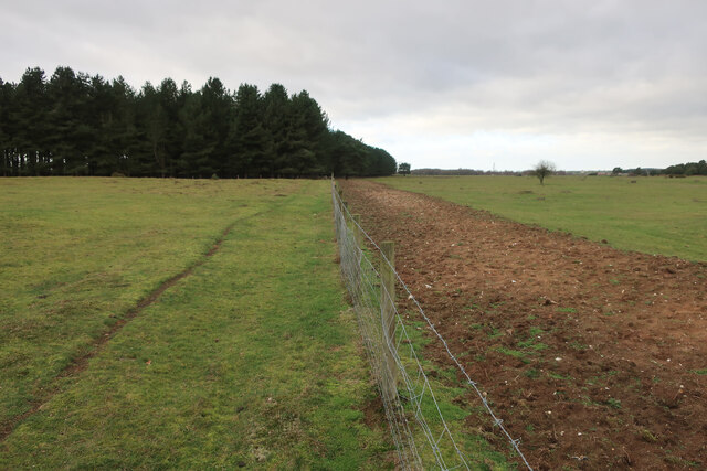
The Cranhousefield Belt is not only a haven for wildlife but also serves as an important ecological corridor, connecting various natural habitats in the region. This connectivity allows for the movement of wildlife and promotes genetic diversity among different populations.
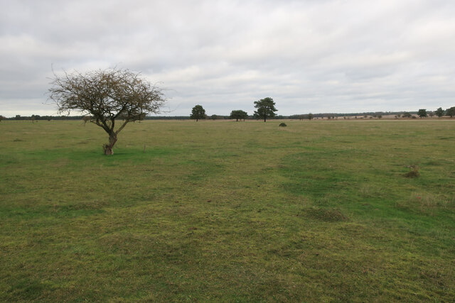
Overall, Cranhousefield Belt in Suffolk offers a serene and picturesque setting, inviting visitors to immerse themselves in the beauty of nature while enjoying the peace and tranquility of the forest.
If you have any feedback on the listing, please let us know in the comments section below.
Cranhousefield Belt Images
Images are sourced within 2km of 52.384221/0.56966707 or Grid Reference TL7479. Thanks to Geograph Open Source API. All images are credited.


Cranhousefield Belt is located at Grid Ref: TL7479 (Lat: 52.384221, Lng: 0.56966707)
Administrative County: Suffolk
District: West Suffolk
Police Authority: Suffolk
What 3 Words
///clockwork.magpie.ignites. Near Lakenheath, Suffolk
Related Wikis

Eriswell Low Warren
Eriswell Low Warren is a 7.4-hectare (18-acre) biological Site of Special Scientific Interest north-east of Eriswell in Suffolk. It is a Nature Conservation...

Lakenheath Warren
Lakenheath Warren is a 588.3-hectare (1,454-acre) biological Site of Special Scientific Interest south-east of Lakenheath in Suffolk, England. It is a...

Foxhole Heath
Foxhole Heath is an 85.2-hectare (211-acre) biological Site of Special Scientific Interest east of Eriswell in Suffolk. It is a Nature Conservation Review...

Lordswell Field
Lordswell Field or Lord's Well Field is a 3.2-hectare (7.9-acre) biological Site of Special Scientific Interest in Eriswell in Suffolk. It is a Nature...

Breckland Farmland
Breckland Farmland is a 13,392.4 hectare biological Site of Special Scientific Interest (SSSI) in many separate areas between Swaffham in Norfolk and Bury...

RAF Lakenheath
Royal Air Force Lakenheath or RAF Lakenheath (IATA: LKZ, ICAO: EGUL) is a Royal Air Force station near the village of Lakenheath in Suffolk, England, UK...

How Hill Track
How Hill Track is a 3.1-hectare (7.7-acre) biological Site of Special Scientific Interest east of Mildenhall in Suffolk. It is in the Breckland Special...

RAF Lakenheath SSSI
RAF Lakenheath is a 111 hectare biological Site of Special Scientific Interest covering parts of RAF Lakenheath Royal Air Force base, east of Lakenheath...
Have you been to Cranhousefield Belt?
Leave your review of Cranhousefield Belt below (or comments, questions and feedback).