Eriswell Low Warren

Downs, Moorland in Suffolk West Suffolk

England

Eriswell Low Warren

Lakenheath Warren The area is open access land, but only between November and February, <a href="https://www.geograph.org.uk/photo/7383126">TL7779 : Open access sign</a>
Lakenheath Warren Credit: Hugh Venables

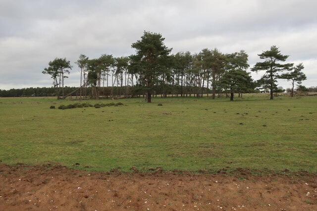
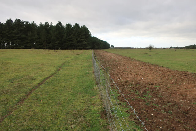
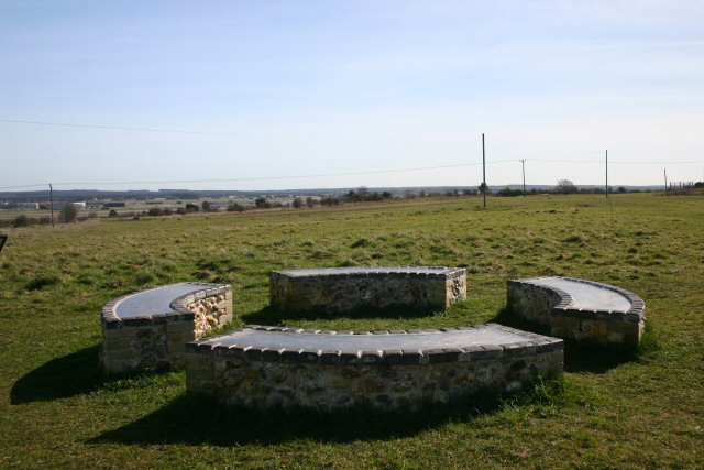
Eriswell Low Warren is a nature reserve located in Suffolk, England. It is situated on the eastern edge of the Breckland area, which is renowned for its unique landscape and biodiversity. Spanning over an area of approximately 60 hectares (148 acres), the reserve encompasses a diverse range of habitats including downs, moorland, and wetland areas.

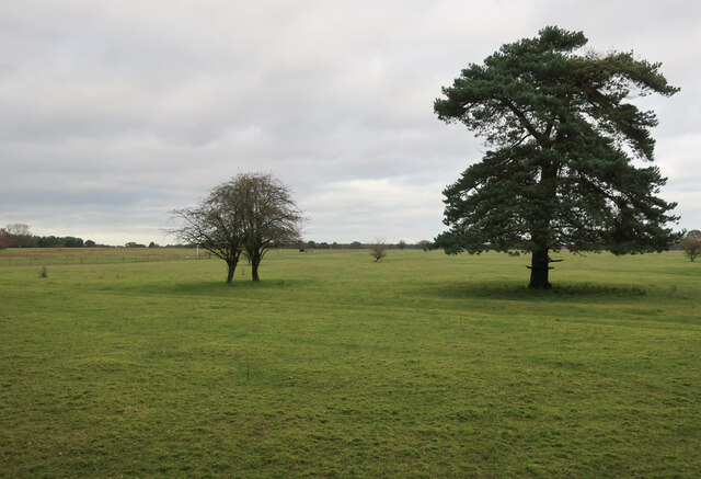
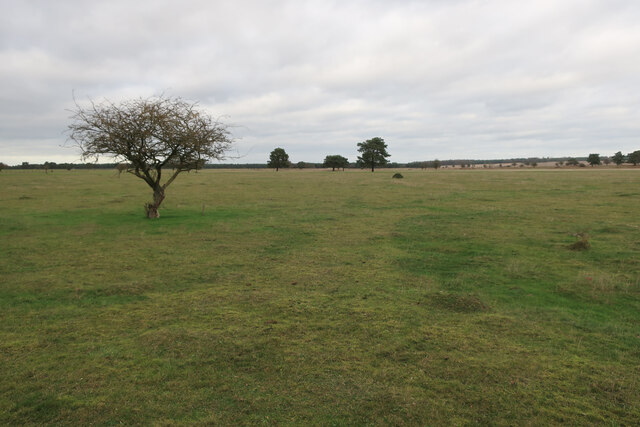
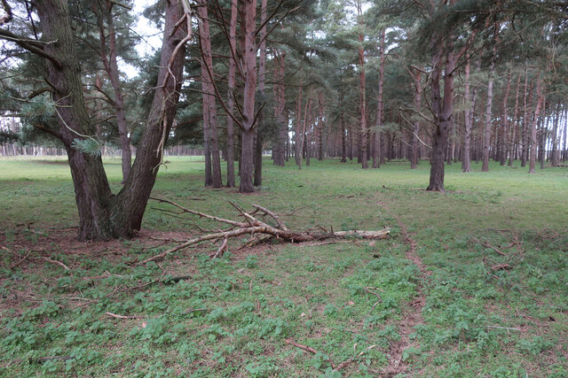
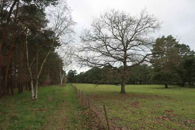
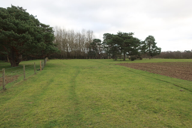
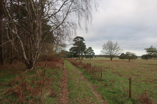
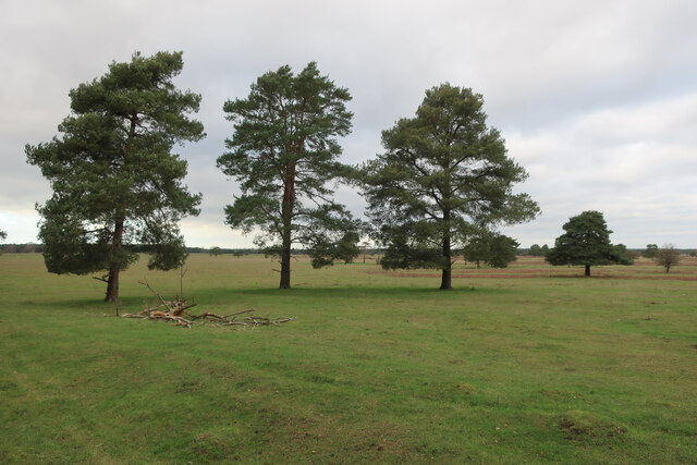
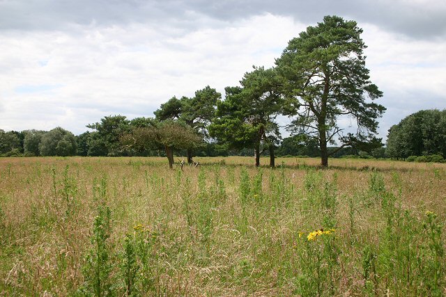
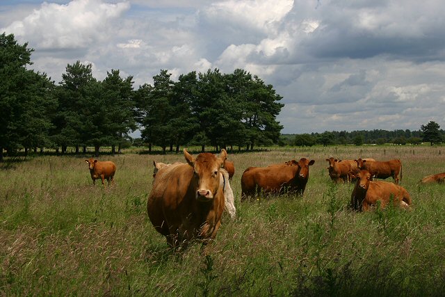
The downs at Eriswell Low Warren are characterized by rolling hills covered in grasses, heathers, and wildflowers. This habitat supports a variety of bird species, including skylarks, stonechats, and meadow pipits. It is also home to a population of rabbits, which can often be seen grazing on the open grassland.

In contrast, the moorland area of the reserve is dominated by heathland vegetation, such as heather and gorse. This habitat provides an ideal environment for insects, reptiles, and small mammals. Visitors may spot adders basking in the sunlight or be lucky enough to glimpse a rare silver-studded blue butterfly.

The wetland areas within Eriswell Low Warren are home to a variety of plant and animal species that thrive in damp conditions. These include reed beds, ponds, and marshy areas, which attract a multitude of bird species, including ducks, herons, and water rails.

The reserve offers visitors the opportunity to explore its various trails, enabling them to experience its diverse habitats and observe its wildlife. Eriswell Low Warren is a valuable conservation area, contributing to the preservation of the unique Breckland landscape and its associated species.

If you have any feedback on the listing, please let us know in the comments section below.

Eriswell Low Warren Images

Images are sourced within 2km of 52.387406/0.56919072 or Grid Reference TL7479. Thanks to Geograph Open Source API. All images are credited.

Lakenheath Warren The area is open access land, but only between November and February, <a href="https://www.geograph.org.uk/photo/7383126">TL7779 : Open access sign</a>
Lakenheath Warren
The area is open access land, but only between November and February, TL7779 : Open access sign
Lakenheath Warren The area is open access land, but only between November and February due to sensitive wildlife, <a href="https://www.geograph.org.uk/photo/7383126">TL7779 : Open access sign</a>
Lakenheath Warren
The area is open access land, but only between November and February due to sensitive wildlife, TL7779 : Open access sign
Bridleway by Lakenheath Warren
Lakenheath Warren Grassy heath. The area is open access land, but only between November and February due to sensitive wildlife, <a href="https://www.geograph.org.uk/photo/7383126">TL7779 : Open access sign</a>.
Lakenheath Warren
Grassy heath. The area is open access land, but only between November and February due to sensitive wildlife, TL7779 : Open access sign.
Pines on the edge of Lakenheath Warren
Bridleway by Lakenheath Warren Approaching some fine Red Deer stags.
Bridleway by Lakenheath Warren
Approaching some fine Red Deer stags.
Bridleway by Lakenheath Warren With stripped ground to as part of management of the area for wildlife and rare plants.
Bridleway by Lakenheath Warren
With stripped ground to as part of management of the area for wildlife and rare plants.
Bridleway by Lakenheath Warren
Lakenheath Warren
Lakenheath Warren
Irrigation boom The loose sandy soil of the brecks doesn't hold much water. Good for a winter bike ride but has consequences for farming.
Irrigation boom
The loose sandy soil of the brecks doesn't hold much water. Good for a winter bike ride but has consequences for farming.
A1065 past Lakenheath Airfield The high fence is not to protect the base, rather to protect vehicles from errant balls from a golf driving range.
A1065 past Lakenheath Airfield
The high fence is not to protect the base, rather to protect vehicles from errant balls from a golf driving range.
Brandon Rd outside RAF Lakenheath The A1065 is an important route through the centre of Norfolk. It starts on the infamous Five Ways roundabout at Barton Mills, leaving the A11, and heads up through countryside for nearly 40 miles, crossing the A47 at Swaffham en route, until it ends on the A148 just outside Fakenham.
Brandon Rd outside RAF Lakenheath
The A1065 is an important route through the centre of Norfolk. It starts on the infamous Five Ways roundabout at Barton Mills, leaving the A11, and heads up through countryside for nearly 40 miles, crossing the A47 at Swaffham en route, until it ends on the A148 just outside Fakenham.
A1065 The A1065 is an important route through the centre of Norfolk. It starts on the infamous Five Ways roundabout at Barton Mills, leaving the A11, and heads up through countryside for nearly 40 miles, crossing the A47 at Swaffham en route, until it ends on the A148 just outside Fakenham.
A1065
The A1065 is an important route through the centre of Norfolk. It starts on the infamous Five Ways roundabout at Barton Mills, leaving the A11, and heads up through countryside for nearly 40 miles, crossing the A47 at Swaffham en route, until it ends on the A148 just outside Fakenham.
Water towers, RAF Lakenheath These waters towers are just inside the eastern perimeter fence of RAF Lakenheath, the US Air Force base in North Suffolk.
Water towers, RAF Lakenheath
These waters towers are just inside the eastern perimeter fence of RAF Lakenheath, the US Air Force base in North Suffolk.
Blocked road, RAF Lakenheath Although the 30 MPH sign still exists, access to the US Air Force base along this public road is denied.
Blocked road, RAF Lakenheath
Although the 30 MPH sign still exists, access to the US Air Force base along this public road is denied.
Sand and gravel dump This track leads to an area where sand and gravel is stored, close to the US Air Force base at RAF Lakenheath.
Sand and gravel dump
This track leads to an area where sand and gravel is stored, close to the US Air Force base at RAF Lakenheath.
Chestnut Court An area of Breckland south of the bridleway linking Lakenheath Warren with the A1065.
Chestnut Court
An area of Breckland south of the bridleway linking Lakenheath Warren with the A1065.
Curious cattle Cows grazing on Open Access land at Lakenheath Warren.
Curious cattle
Cows grazing on Open Access land at Lakenheath Warren.
Show me another place!

Eriswell Low Warren is located at Grid Ref: TL7479 (Lat: 52.387406, Lng: 0.56919072)

Administrative County: Suffolk

District: West Suffolk

Police Authority: Suffolk

What 3 Words

///waltzes.topical.engages. Near Lakenheath, Suffolk

Related Wikis

Eriswell Low Warren

Eriswell Low Warren is a 7.4-hectare (18-acre) biological Site of Special Scientific Interest north-east of Eriswell in Suffolk. It is a Nature Conservation...

Lakenheath Warren

Lakenheath Warren is a 588.3-hectare (1,454-acre) biological Site of Special Scientific Interest south-east of Lakenheath in Suffolk, England. It is a...

Foxhole Heath

Foxhole Heath is an 85.2-hectare (211-acre) biological Site of Special Scientific Interest east of Eriswell in Suffolk. It is a Nature Conservation Review...

Lordswell Field

Lordswell Field or Lord's Well Field is a 3.2-hectare (7.9-acre) biological Site of Special Scientific Interest in Eriswell in Suffolk. It is a Nature...

RAF Lakenheath

Royal Air Force Lakenheath or RAF Lakenheath (IATA: LKZ, ICAO: EGUL) is a Royal Air Force station near the village of Lakenheath in Suffolk, England, UK...

Breckland Farmland

Breckland Farmland is a 13,392.4 hectare biological Site of Special Scientific Interest (SSSI) in many separate areas between Swaffham in Norfolk and Bury...

RAF Lakenheath SSSI

RAF Lakenheath is a 111 hectare biological Site of Special Scientific Interest covering parts of RAF Lakenheath Royal Air Force base, east of Lakenheath...

Maidscross Hill

Maidscross Hill is a 44.8-hectare (111-acre) biological Site of Special Scientific Interest on the eastern outskirts of Lakenheath in Suffolk. It is a...

Nearby Amenities

Located within 500m of 52.387406,0.56919072
The data included in this document is from www.openstreetmap.org. The data is made available under ODbL.

Have you been to Eriswell Low Warren?

Leave your review of Eriswell Low Warren below (or comments, questions and feedback).