Millsail Plantation

Wood, Forest in Suffolk West Suffolk

England

Millsail Plantation

Lakenheath Warren The area is open access land, but only between November and February, <a href="https://www.geograph.org.uk/photo/7383126">TL7779 : Open access sign</a>
Lakenheath Warren Credit: Hugh Venables

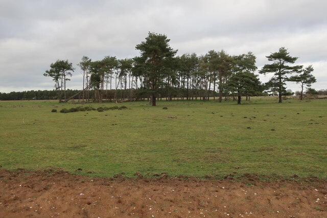
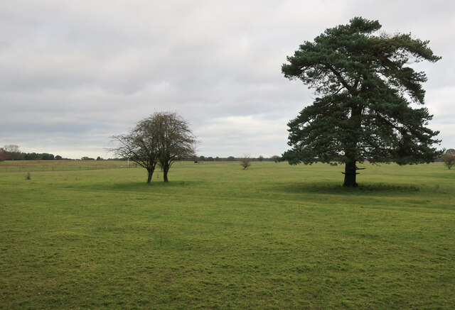
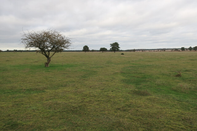
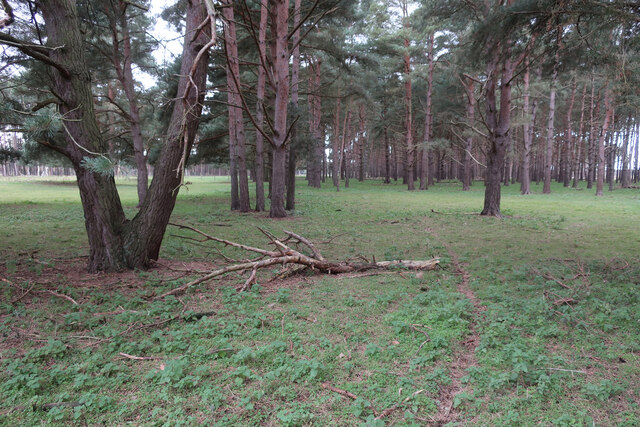
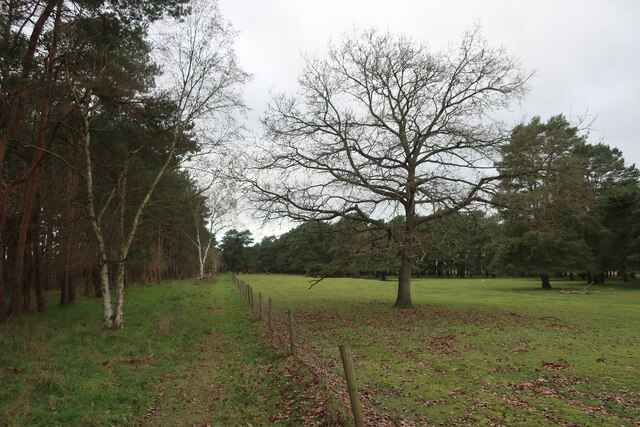
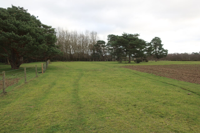
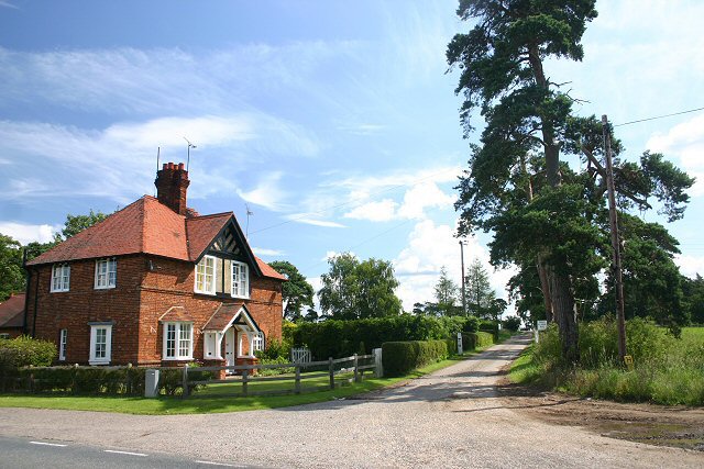
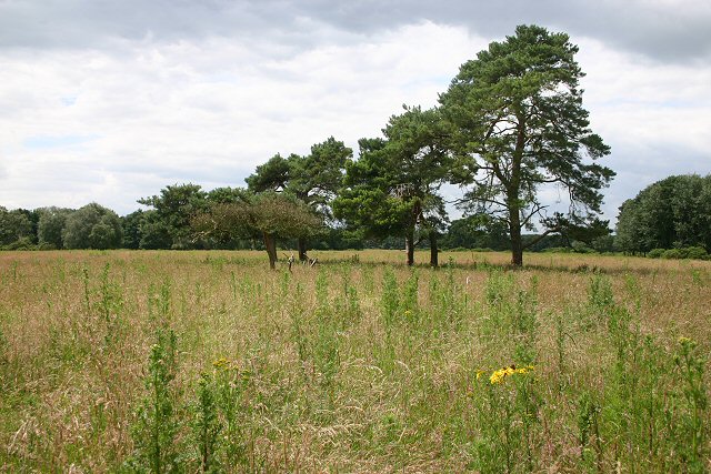
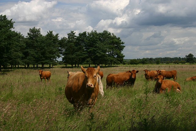
Millsail Plantation is a sprawling woodland area located in Suffolk, England. Spanning over vast acres of land, the plantation is a haven for nature enthusiasts and those seeking tranquility amidst the dense forest. The plantation is renowned for its beautiful woodlands, offering a diverse range of flora and fauna.

The plantation boasts a rich history that dates back several centuries. Originally established as a hunting ground for the aristocracy, Millsail Plantation was later converted into a protected forest area to conserve the natural habitat. Today, it stands as a testament to the region's commitment to preserving its natural heritage.

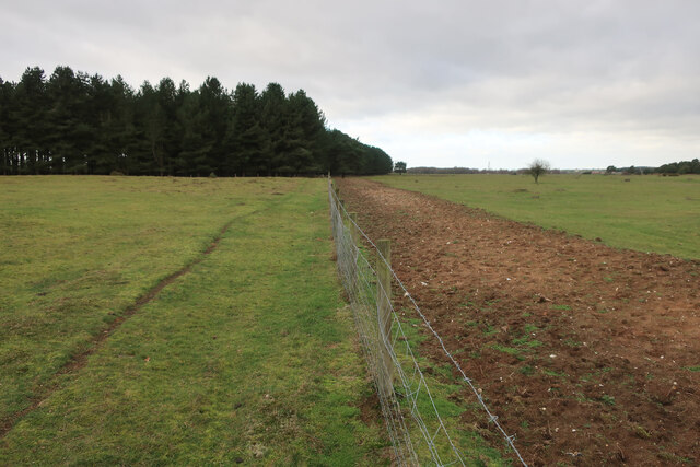
The woodland itself is a stunning mix of deciduous and coniferous trees, creating a picturesque setting throughout the year. The towering oak, beech, and maple trees dominate the landscape, providing a lush canopy that casts enchanting shadows on the forest floor. The plantation is also home to a variety of wildlife, including deer, foxes, birds, and several rare species of insects.

Millsail Plantation offers a range of activities for visitors to enjoy. Walking trails meander through the woodland, allowing visitors to explore the plantation at their own pace. The plantation also features picnic areas, where visitors can relax and immerse themselves in the peaceful surroundings.

For those looking for a more adventurous experience, Millsail Plantation offers opportunities for mountain biking and horseback riding. The well-maintained trails provide an exhilarating experience for outdoor enthusiasts, while the stunning scenery adds an extra layer of enjoyment to the activities.

In conclusion, Millsail Plantation in Suffolk is a captivating woodland retreat that offers a memorable experience for nature lovers. With its diverse wildlife, picturesque landscapes, and range of activities, it is a place of natural beauty that should not be missed.

If you have any feedback on the listing, please let us know in the comments section below.

Millsail Plantation Images

Images are sourced within 2km of 52.386651/0.55835949 or Grid Reference TL7479. Thanks to Geograph Open Source API. All images are credited.

Lakenheath Warren The area is open access land, but only between November and February, <a href="https://www.geograph.org.uk/photo/7383126">TL7779 : Open access sign</a>
Lakenheath Warren
The area is open access land, but only between November and February, TL7779 : Open access sign
Lakenheath Warren The area is open access land, but only between November and February due to sensitive wildlife, <a href="https://www.geograph.org.uk/photo/7383126">TL7779 : Open access sign</a>
Lakenheath Warren
The area is open access land, but only between November and February due to sensitive wildlife, TL7779 : Open access sign
Bridleway by Lakenheath Warren
Lakenheath Warren Grassy heath. The area is open access land, but only between November and February due to sensitive wildlife, <a href="https://www.geograph.org.uk/photo/7383126">TL7779 : Open access sign</a>.
Lakenheath Warren
Grassy heath. The area is open access land, but only between November and February due to sensitive wildlife, TL7779 : Open access sign.
Pines on the edge of Lakenheath Warren
Bridleway by Lakenheath Warren Approaching some fine Red Deer stags.
Bridleway by Lakenheath Warren
Approaching some fine Red Deer stags.
Bridleway by Lakenheath Warren With stripped ground to as part of management of the area for wildlife and rare plants.
Bridleway by Lakenheath Warren
With stripped ground to as part of management of the area for wildlife and rare plants.
Irrigation boom The loose sandy soil of the brecks doesn't hold much water. Good for a winter bike ride but has consequences for farming.
Irrigation boom
The loose sandy soil of the brecks doesn't hold much water. Good for a winter bike ride but has consequences for farming.
A1065 past Lakenheath Airfield The high fence is not to protect the base, rather to protect vehicles from errant balls from a golf driving range.
A1065 past Lakenheath Airfield
The high fence is not to protect the base, rather to protect vehicles from errant balls from a golf driving range.
Brandon Rd outside RAF Lakenheath The A1065 is an important route through the centre of Norfolk. It starts on the infamous Five Ways roundabout at Barton Mills, leaving the A11, and heads up through countryside for nearly 40 miles, crossing the A47 at Swaffham en route, until it ends on the A148 just outside Fakenham.
Brandon Rd outside RAF Lakenheath
The A1065 is an important route through the centre of Norfolk. It starts on the infamous Five Ways roundabout at Barton Mills, leaving the A11, and heads up through countryside for nearly 40 miles, crossing the A47 at Swaffham en route, until it ends on the A148 just outside Fakenham.
A1065 The A1065 is an important route through the centre of Norfolk. It starts on the infamous Five Ways roundabout at Barton Mills, leaving the A11, and heads up through countryside for nearly 40 miles, crossing the A47 at Swaffham en route, until it ends on the A148 just outside Fakenham.
A1065
The A1065 is an important route through the centre of Norfolk. It starts on the infamous Five Ways roundabout at Barton Mills, leaving the A11, and heads up through countryside for nearly 40 miles, crossing the A47 at Swaffham en route, until it ends on the A148 just outside Fakenham.
RAF Lakenheath Gate No. 2 The 'rear' entrance to the United States Air Force base.
RAF Lakenheath Gate No. 2
The 'rear' entrance to the United States Air Force base.
Track to High Lodge This private track leads eastwards from the A1065 to High Lodge on the Elveden Estate.
Track to High Lodge
This private track leads eastwards from the A1065 to High Lodge on the Elveden Estate.
Water towers, RAF Lakenheath These waters towers are just inside the eastern perimeter fence of RAF Lakenheath, the US Air Force base in North Suffolk.
Water towers, RAF Lakenheath
These waters towers are just inside the eastern perimeter fence of RAF Lakenheath, the US Air Force base in North Suffolk.
Blocked road, RAF Lakenheath Although the 30 MPH sign still exists, access to the US Air Force base along this public road is denied.
Blocked road, RAF Lakenheath
Although the 30 MPH sign still exists, access to the US Air Force base along this public road is denied.
Sand and gravel dump This track leads to an area where sand and gravel is stored, close to the US Air Force base at RAF Lakenheath.
Sand and gravel dump
This track leads to an area where sand and gravel is stored, close to the US Air Force base at RAF Lakenheath.
Chestnut Court An area of Breckland south of the bridleway linking Lakenheath Warren with the A1065.
Chestnut Court
An area of Breckland south of the bridleway linking Lakenheath Warren with the A1065.
Curious cattle Cows grazing on Open Access land at Lakenheath Warren.
Curious cattle
Cows grazing on Open Access land at Lakenheath Warren.
Show me another place!

Millsail Plantation is located at Grid Ref: TL7479 (Lat: 52.386651, Lng: 0.55835949)

Administrative County: Suffolk

District: West Suffolk

Police Authority: Suffolk

What 3 Words

///damage.lushly.stove. Near Lakenheath, Suffolk

Related Wikis

Eriswell Low Warren

Eriswell Low Warren is a 7.4-hectare (18-acre) biological Site of Special Scientific Interest north-east of Eriswell in Suffolk. It is a Nature Conservation...

Lordswell Field

Lordswell Field or Lord's Well Field is a 3.2-hectare (7.9-acre) biological Site of Special Scientific Interest in Eriswell in Suffolk. It is a Nature...

Foxhole Heath

Foxhole Heath is an 85.2-hectare (211-acre) biological Site of Special Scientific Interest east of Eriswell in Suffolk. It is a Nature Conservation Review...

Lakenheath Warren

Lakenheath Warren is a 588.3-hectare (1,454-acre) biological Site of Special Scientific Interest south-east of Lakenheath in Suffolk, England. It is a...

RAF Lakenheath

Royal Air Force Lakenheath or RAF Lakenheath (IATA: LKZ, ICAO: EGUL) is a Royal Air Force station near the village of Lakenheath in Suffolk, England, UK...

RAF Lakenheath SSSI

RAF Lakenheath is a 111 hectare biological Site of Special Scientific Interest covering parts of RAF Lakenheath Royal Air Force base, east of Lakenheath...

Eriswell

Eriswell is a village and civil parish of West Suffolk in the English county of Suffolk. About forty scattered archaeological finds have been made here...

Maidscross Hill

Maidscross Hill is a 44.8-hectare (111-acre) biological Site of Special Scientific Interest on the eastern outskirts of Lakenheath in Suffolk. It is a...

Have you been to Millsail Plantation?

Leave your review of Millsail Plantation below (or comments, questions and feedback).