Gravelpit Wood
Wood, Forest in Norfolk King's Lynn and West Norfolk
England
Gravelpit Wood

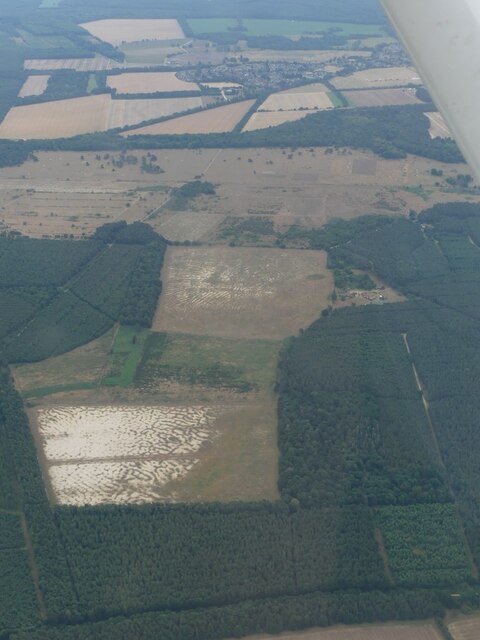
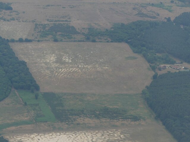
Gravelpit Wood is a picturesque woodland located in Norfolk, England. Covering an area of approximately 50 acres, this enchanting forest is renowned for its natural beauty and diverse ecosystem. The wood is situated near the village of Norfolk, providing locals and visitors with easy access to its tranquil surroundings.
The woodland is characterized by its dense canopy of towering trees, primarily consisting of native species such as oak, beech, and ash. These majestic trees create a soothing atmosphere, providing shade during the warm summer months and displaying a stunning array of colors during autumn.
Gravelpit Wood is home to a rich variety of wildlife, making it a haven for nature enthusiasts and birdwatchers. The forest is a thriving habitat for numerous bird species, including woodpeckers, owls, and various songbirds. Small mammals like squirrels, rabbits, and foxes can also be spotted among the undergrowth, while occasional sightings of deer add to the woodland's allure.
For those seeking outdoor activities, Gravelpit Wood offers a network of well-maintained trails that wind through the forest, providing opportunities for leisurely walks, jogging, or cycling. The tranquility of the woodland makes it an ideal spot for picnics and family outings, offering a chance to reconnect with nature and escape the hustle and bustle of everyday life.
Gravelpit Wood, with its stunning natural scenery and abundant wildlife, is a true gem in the Norfolk countryside, attracting visitors from far and wide who seek solace and serenity in the midst of nature's embrace.
If you have any feedback on the listing, please let us know in the comments section below.
Gravelpit Wood Images
Images are sourced within 2km of 52.466027/0.5745191 or Grid Reference TL7488. Thanks to Geograph Open Source API. All images are credited.


Gravelpit Wood is located at Grid Ref: TL7488 (Lat: 52.466027, Lng: 0.5745191)
Administrative County: Norfolk
District: King's Lynn and West Norfolk
Police Authority: Norfolk
What 3 Words
///texts.permit.subplot. Near Hockwold cum Wilton, Norfolk
Nearby Locations
Related Wikis

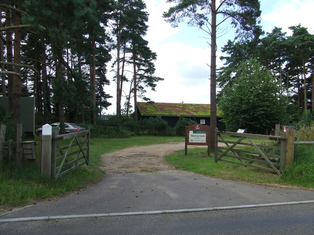
Weeting Heath
Weeting Heath is a 141.8-hectare (350-acre) biological Site of Special Scientific Interest west of Thetford in Norfolk, which is managed by the Norfolk...

Hockwold cum Wilton
Hockwold cum Wilton ("Hock/mallow wood and willow-tree farm/settlement") is 10 miles west of Thetford, Norfolk, England and is in the borough of King's...

Weeting
Weeting is a village in Norfolk, England. The population can be found in the civil parish of Weeting-with-Broomhill. The village's name means 'wet place...

St Peter's Church, Hockwold
St Peter's Church is a redundant Anglican church in the village of Hockwold cum Wilton in Norfolk, England. It is recorded in the National Heritage List...

Weeting Castle
Weeting Castle is a ruined, medieval manor house near the village of Weeting in Norfolk, England. It was built around 1180 by Hugh de Plais, and comprised...
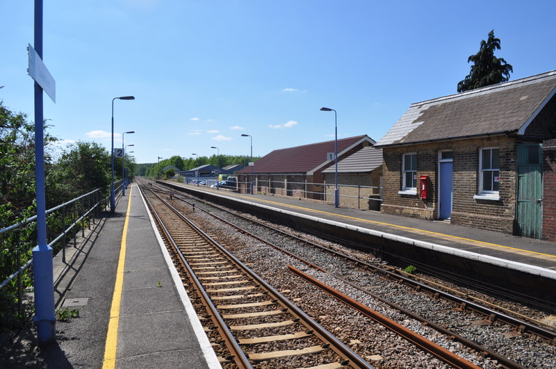
Lakenheath railway station
Lakenheath railway station is on the Breckland Line in the east of England, serving the village of Lakenheath, Suffolk. The line runs between Cambridge...

Brandon railway station
Brandon railway station is on the Breckland Line in the East of England, serving the town of Brandon, Suffolk, although the station is actually situated...
London Road Industrial Estate, Brandon
London Road Industrial Estate, Brandon is a 0.1-hectare (0.25-acre) biological Site of Special Scientific Interest (SSSI) in Brandon in Suffolk.This very...
Nearby Amenities
Located within 500m of 52.466027,0.5745191Have you been to Gravelpit Wood?
Leave your review of Gravelpit Wood below (or comments, questions and feedback).