Lacy Wood

Wood, Forest in Kent Tunbridge Wells

England

Lacy Wood

Coppicing in Bedgebury Forest This large forest is managed by the Woodland Association, several sections are grown for coppiced wood.
Coppicing in Bedgebury Forest Credit: David Anstiss

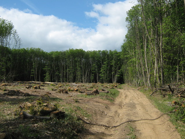
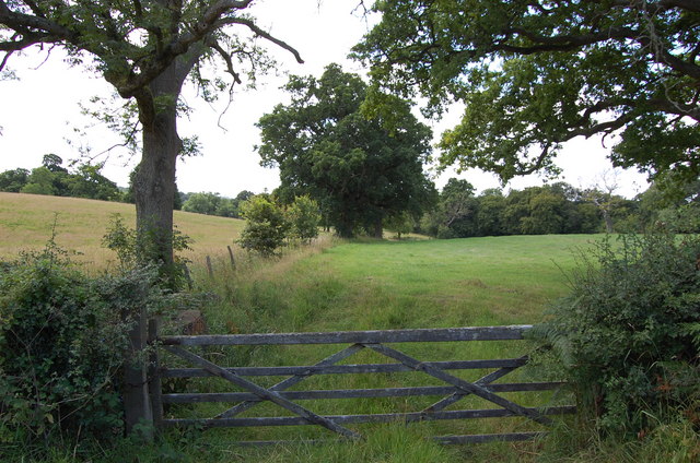
Lacy Wood, also known as Kent Wood or Lacy Forest, is a picturesque area located in the county of Kent, England. This woodland is nestled in the southeastern part of the country, near the town of Lacy Green. Covering an extensive area of lush greenery, Lacy Wood is a haven for nature lovers and outdoor enthusiasts.

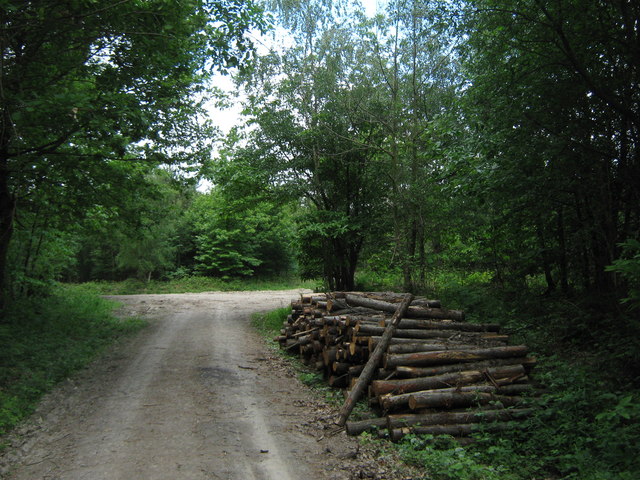
The wood boasts a diverse range of tree species, including oak, beech, and chestnut, providing a rich and vibrant ecosystem. The dense canopy of foliage creates a serene and tranquil atmosphere, making it an ideal escape from the hustle and bustle of modern life.

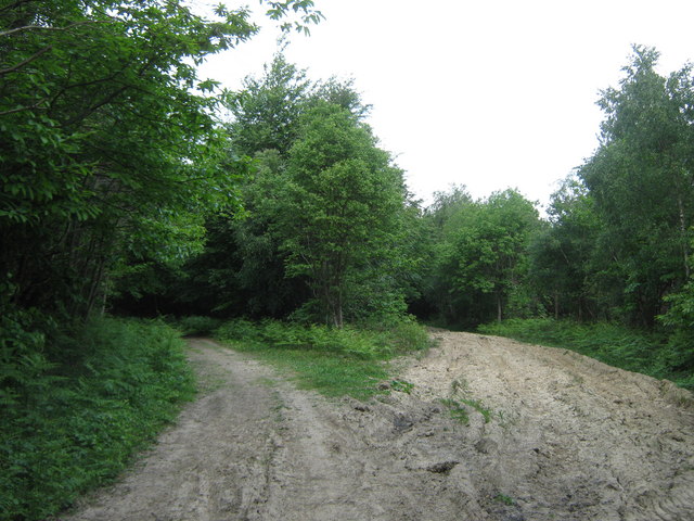
Lacy Wood offers various recreational activities for visitors. There are well-maintained walking trails that wind through the forest, allowing visitors to explore its beauty at their own pace. These trails cater to all levels of fitness and offer stunning views of the surrounding landscape.

The wood is home to an abundance of wildlife, including deer, squirrels, and a wide variety of bird species. Birdwatchers can delight in spotting species such as woodpeckers, owls, and finches, among others.

Additionally, Lacy Wood is a popular spot for picnics and family outings. There are designated picnic areas equipped with benches and tables, where visitors can enjoy a meal surrounded by nature.

Overall, Lacy Wood, Kent is a natural gem, offering a peaceful retreat for those seeking solace in the beauty of the great outdoors. Its diverse flora and fauna, combined with its scenic trails and picnic spots, make it a must-visit destination for nature enthusiasts in the region.

If you have any feedback on the listing, please let us know in the comments section below.
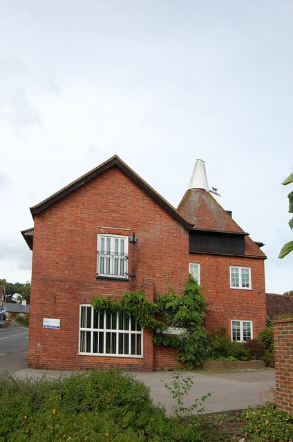
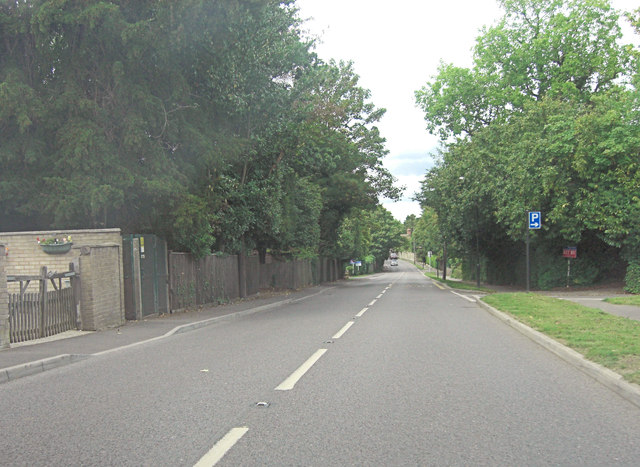
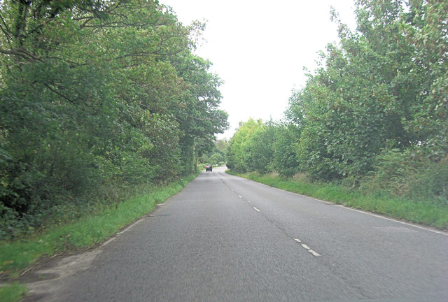
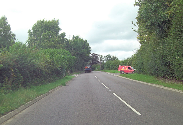
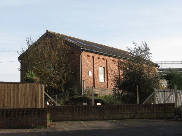
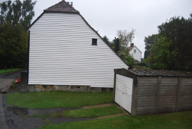
Lacy Wood Images

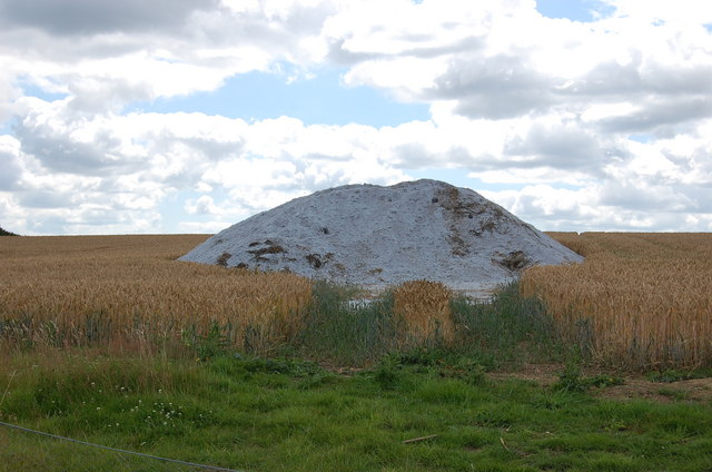
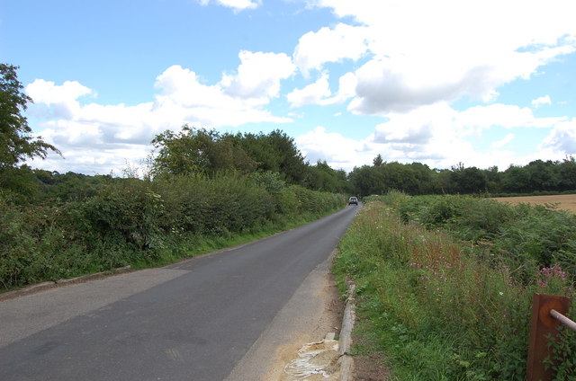
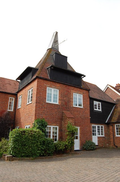
Images are sourced within 2km of 51.051563/0.48472516 or Grid Reference TQ7430. Thanks to Geograph Open Source API. All images are credited.

Coppicing in Bedgebury Forest This large forest is managed by the Woodland Association, several sections are grown for coppiced wood.
Coppicing in Bedgebury Forest
This large forest is managed by the Woodland Association, several sections are grown for coppiced wood.
Track junction in Bedgebury Forest One of the many access tracks leads from Adam's Wood into Bedgebury Forest.
On the right is a pile of coppiced tree logs.
Track junction in Bedgebury Forest
One of the many access tracks leads from Adam's Wood into Bedgebury Forest. On the right is a pile of coppiced tree logs.
Track tree island in Bedgebury Forest Several access tracks meet in the large forest making a small tree island.
Track tree island in Bedgebury Forest
Several access tracks meet in the large forest making a small tree island.
Telephone Exchange in Hawkhurst Beside the fire station on Oakley Road.
Telephone Exchange in Hawkhurst
Beside the fire station on Oakley Road.
Infant School, Hawkhurst On the A299 Cranbrook Road.
Was a school now used as a Cadet Drill Hall.
See <a href="https://www.geograph.org.uk/photo/2413364">TQ7630 : Blue Plaque on Infant School</a> for a close-up of the blue plaque on the building.
Infant School, Hawkhurst
On the A299 Cranbrook Road. Was a school now used as a Cadet Drill Hall. See TQ7630 : Blue Plaque on Infant School for a close-up of the blue plaque on the building.
Blue Plaque on Infant School On <a href="https://www.geograph.org.uk/photo/2413358">TQ7630 : Infant School, Hawkhurst</a>.
Blue Plaque on Infant School
Sir Thomas Dunk's Almshouses, Hawkhurst The full name, as given in the title, appears on the rectangular white plate fixed to the railings to the left of the sign post. The scaffolding must have been erected to deal with a maintenance problem.
Sir Thomas Dunk's Almshouses, Hawkhurst
The full name, as given in the title, appears on the rectangular white plate fixed to the railings to the left of the sign post. The scaffolding must have been erected to deal with a maintenance problem.
Royal Oak Hotel, Hawkhurst There are two Tunbridge Wells Borough Council planning applications that may be relevant to this notice: June 2011 11/4000/0678 informal inquiry - insulation and May 2011 11/4000/0501 informal inquiry - repairs to the Royal Oak Hotel, Hawkhurst.
Royal Oak Hotel, Hawkhurst
There are two Tunbridge Wells Borough Council planning applications that may be relevant to this notice: June 2011 11/4000/0678 informal inquiry - insulation and May 2011 11/4000/0501 informal inquiry - repairs to the Royal Oak Hotel, Hawkhurst.
Heap of unknown substance in field Maybe sand or grit?? Being mindful of trespass, I didn't go and investigate!
Heap of unknown substance in field
Maybe sand or grit?? Being mindful of trespass, I didn't go and investigate!
Delmonden Lane
Delmonden Lane
Gate to Field off Delmonden Lane
Gill's Green Oast Single square kiln oast house. Hoists to roadside. Position of former louvres can be seen to kiln roof.
Gill's Green Oast
Single square kiln oast house. Hoists to roadside. Position of former louvres can be seen to kiln roof.
Gill's Green Oast
Gill's Green Oast
A268 is the High Street in Hawkhurst
A268 west of Hawkhurst
A268 approaches junction with Delmonden Road The post van is in the entrance to Little Pix Hall Farm opposite Delmonden Road.
A268 approaches junction with Delmonden Road
The post van is in the entrance to Little Pix Hall Farm opposite Delmonden Road.
Hawkhurst Station Engine Shed The former engine shed now used as an industrial unit. After the site railway was closed in 1961 the site was sold in 1967 and is now and industrial yard.
Hawkhurst Station Engine Shed
The former engine shed now used as an industrial unit. After the site railway was closed in 1961 the site was sold in 1967 and is now and industrial yard.
Weatherboarded cottage near Hawkhurst
Show me another place!

Lacy Wood is located at Grid Ref: TQ7430 (Lat: 51.051563, Lng: 0.48472516)

Administrative County: Kent

District: Tunbridge Wells

Police Authority: Kent

What 3 Words

///curtains.whistle.carriage. Near Hawkhurst, Kent

Related Wikis

Marlborough House School

Marlborough House School is a co-educational preparatory school situated in 34 acres (14 ha) of countryside in Hawkhurst, Kent. The school currently has...

St Augustine's Church, Flimwell

St Augustine's Church is the Anglican parish church of Flimwell, a village in the Rother district of East Sussex, England. It was consecrated in 1839 after...

Beal's Green

Beal's Green is a hamlet north of Hawkhurst in Kent, South East England.

Hawkhurst Moor

Hawkhurst Moor is a village green and sports field at Hawkhurst in Kent. It was the centre of the original village and lies to the south of the modern...

Nearby Amenities

Located within 500m of 51.051563,0.48472516
Bus Stop
Cottage Hospital
Local Ref: adj
Naptan AtcoCode: 2400A023430A
Naptan Bearing: E
Naptan BusStopType: MKD
Naptan CommonName: Cottage Hospital
Naptan Indicator: adj
Naptan Landmark: Cottage Hospital
Naptan NaptanCode: kntdadat
Naptan RevisionNumber: 4
Naptan Status: act
Naptan Street: High Street
Naptan Verified: yes
Public Transport: platform
Ref: kntdadat
Source: naptan_import
Source Date: 2017-12-01
Lat/Long: 51.0486277/0.4895443
Barrier: stile
Lat/Long: 51.0484639/0.4887303
Hospital
Hawkhurst Community Hospital
No
Addr City: Cranbrook
Addr Housename: Hawkhurst Cottage Hospital
Addr Postcode: TN18 4PU
Addr Suburb: High Street
Addr Village: Hawkhurst
Emergency: no
Fhrs Id: 24084
Source Addr: FHRS Open Data
Lat/Long: 51.048891/0.4891827
Power: pole
Lat/Long: 51.0478189/0.4842728
Power: pole
Lat/Long: 51.0502723/0.4852492
Power: pole
Lat/Long: 51.0509214/0.4900771
Power: pole
Lat/Long: 51.0505387/0.4873788
Power: pole
Lat/Long: 51.0506517/0.4881996
Power: pole
Lat/Long: 51.0511204/0.4916972
Bus Stop
Cottage Hospital
Local Ref: opp
Naptan AtcoCode: 2400A023420A
Naptan Bearing: W
Naptan BusStopType: MKD
Naptan CommonName: Cottage Hospital
Naptan Indicator: opp
Naptan Landmark: Cottage Hospital
Naptan NaptanCode: kntdadap
Naptan RevisionNumber: 4
Naptan Status: act
Naptan Street: High Street
Naptan Verified: no
Public Transport: platform
Ref: kntdadap
Source: naptan_import
Source Date: 2014-10-27
Lat/Long: 51.0485587/0.4886023
The data included in this document is from www.openstreetmap.org. The data is made available under ODbL.

Have you been to Lacy Wood?

Leave your review of Lacy Wood below (or comments, questions and feedback).