Cole Wood
Wood, Forest in Sussex Rother
England
Cole Wood

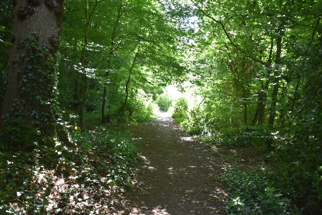
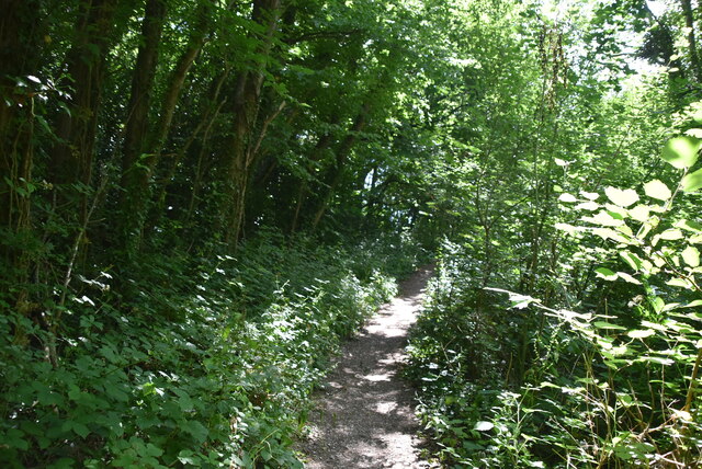
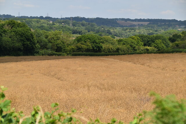
Cole Wood is a picturesque forest located in the county of Sussex, England. Spanning over an area of approximately 500 acres, it is known for its stunning natural beauty and diverse wildlife. The forest is situated near the village of Cole, which is nestled amidst rolling hills and lush green countryside.
The woodland is predominantly composed of a mix of broadleaf and coniferous trees, creating a rich and varied ecosystem. Visitors to Cole Wood can expect to encounter a wide range of flora and fauna, including oak, beech, and pine trees, as well as an array of wildflowers and ferns. The forest is also home to numerous species of birds, mammals, and insects, making it a haven for nature enthusiasts and wildlife photographers.
The forest offers several walking trails and pathways, allowing visitors to explore its tranquil surroundings at their own pace. These paths wind through the forest, offering glimpses of enchanting glades, babbling streams, and hidden ponds. The diverse terrain of Cole Wood provides opportunities for activities such as hiking, birdwatching, and nature photography.
In addition to its natural beauty, Cole Wood holds historical significance. It is believed to have been part of an ancient hunting ground and has remnants of old boundary walls and ditches. The forest has witnessed centuries of human activity, and remnants of charcoal burners' camps and other historical features can still be found within its boundaries.
Cole Wood, Sussex, with its breathtaking landscapes, abundant wildlife, and rich history, is a cherished natural gem that attracts visitors from far and wide. Whether one seeks solitude, an outdoor adventure, or simply a connection with nature, this woodland sanctuary offers an unforgettable experience for all.
If you have any feedback on the listing, please let us know in the comments section below.
Cole Wood Images
Images are sourced within 2km of 50.86678/0.47501257 or Grid Reference TQ7410. Thanks to Geograph Open Source API. All images are credited.


Cole Wood is located at Grid Ref: TQ7410 (Lat: 50.86678, Lng: 0.47501257)
Administrative County: East Sussex
District: Rother
Police Authority: Sussex
What 3 Words
///haven.paused.crunch. Near Bexhill-on-Sea, East Sussex
Nearby Locations
Related Wikis
Sidley, East Sussex
Sidley is a village on the outskirts of Bexhill-on-Sea in East Sussex, England. Its governance falls within the jurisdiction of the Charter Trustees town...

Sidley United F.C.
Sidley United Football Club is a football club based in Sidley, near Bexhill, England. The club is affiliated to the Sussex County Football Association...
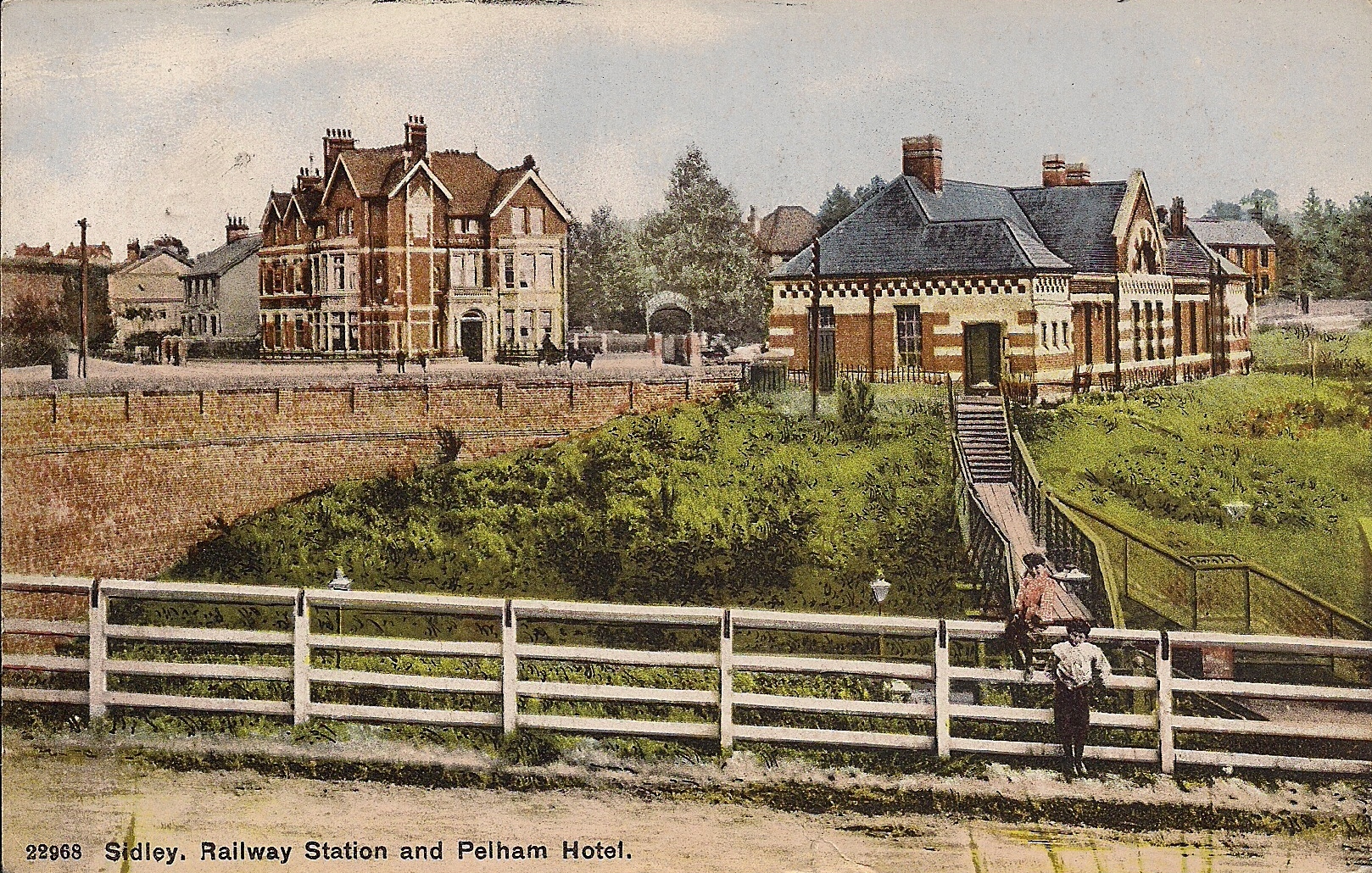
Sidley railway station
Sidley railway station is a closed railway station In Sidley, East Sussex. It was on the Bexhill West branch of the Hastings line from Tunbridge Wells...

Bexhill High Academy
Bexhill High Academy (formerly Bexhill High School) is a coeducational secondary school with academy status, located in Bexhill-on-Sea in the English county...
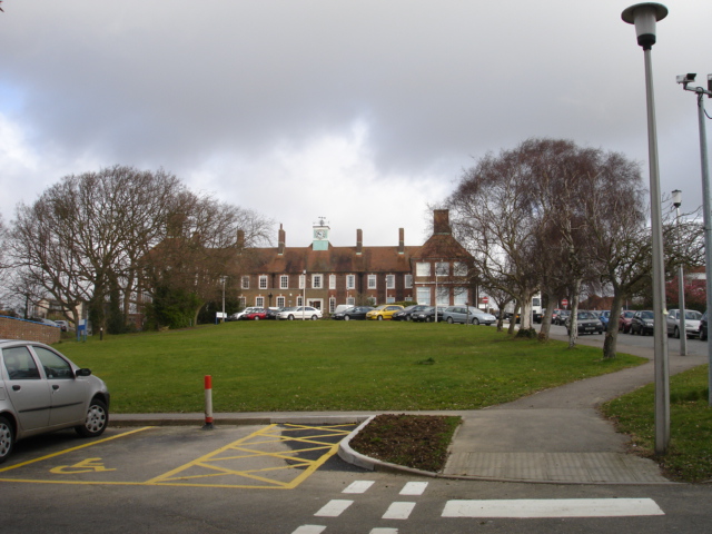
Bexhill Hospital
Bexhill Hospital is a National Health Service hospital at Bexhill-on-Sea in East Sussex, England. It is managed by the East Sussex Healthcare NHS Trust...

Bexhill West branch line
The Bexhill West branch line was a short double-track branch line which was opened on 1 June 1902. It was built by the Crowhurst, Sidley & Bexhill Railway...

Bexhill-on-Sea
Bexhill-on-Sea (often shortened to Bexhill) is a seaside town and civil parish in the Rother District in the county of East Sussex in South East England...

Rother District
Rother is a local government district in East Sussex, England. Its council is based in Bexhill-on-Sea. The district is named after the River Rother which...
Nearby Amenities
Located within 500m of 50.86678,0.47501257Have you been to Cole Wood?
Leave your review of Cole Wood below (or comments, questions and feedback).