Street, High

Settlement in Kent Tunbridge Wells

England

Street, High

Footpath beside Furnace Mill Stream This track leads through White's Wood towards Heartenoak Road.
Footpath beside Furnace Mill Stream Credit: David Anstiss

Street, High, Kent is a charming village located in the southeastern region of England. Known for its picturesque countryside, historic architecture, and vibrant community, Street, High offers a peaceful and idyllic setting for residents and visitors alike.

The village is home to a variety of amenities, including quaint shops, cozy cafes, and traditional pubs, providing a perfect blend of modern convenience and old-world charm. The local market, held regularly in the village square, showcases an array of fresh produce, handmade crafts, and unique gifts, making it a popular destination for shopping and socializing.

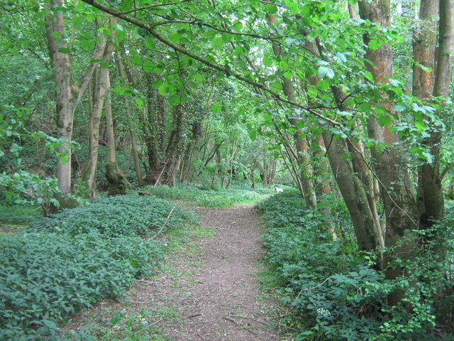
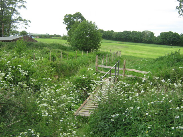
Surrounded by rolling hills and lush greenery, Street, High is a haven for outdoor enthusiasts, offering numerous walking and cycling trails that provide stunning views of the surrounding countryside. The village is also conveniently located near several historic sites and attractions, including Canterbury Cathedral, Leeds Castle, and the White Cliffs of Dover.

Overall, Street, High, Kent is a delightful destination that captures the essence of rural England, with its quaint charm, friendly atmosphere, and natural beauty.

If you have any feedback on the listing, please let us know in the comments section below.
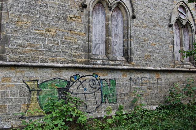
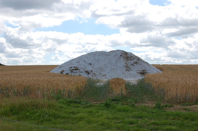
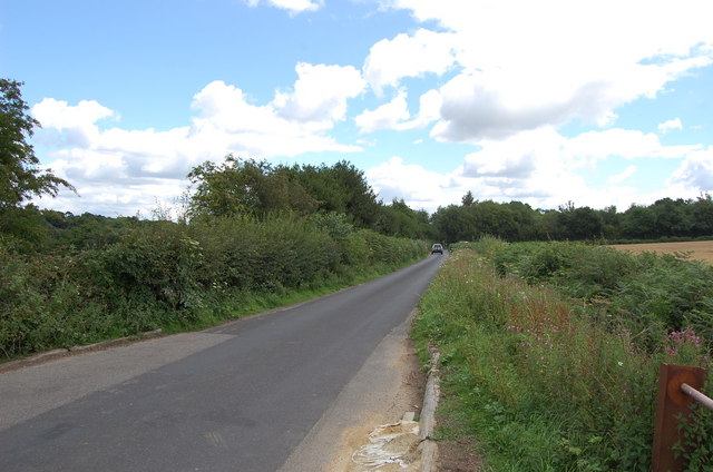
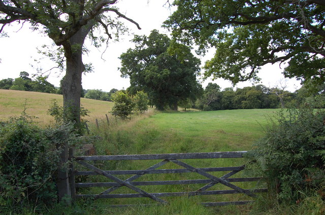
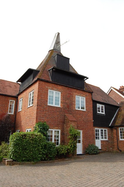
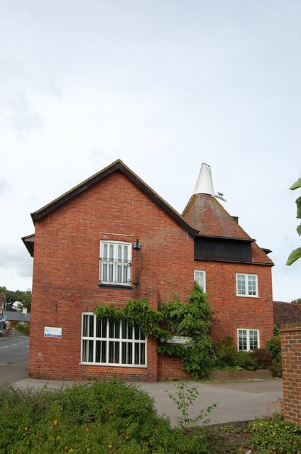
Street, High Images

Images are sourced within 2km of 51.049491/0.494078 or Grid Reference TQ7430. Thanks to Geograph Open Source API. All images are credited.

Footpath beside Furnace Mill Stream This track leads through White's Wood towards Heartenoak Road.
Footpath beside Furnace Mill Stream
This track leads through White's Wood towards Heartenoak Road.
Footbridge over Furnace Mill Stream This bridge is on a path leading from Heartenoak Road towards Water Lane near Paul's Farm.
Footbridge over Furnace Mill Stream
This bridge is on a path leading from Heartenoak Road towards Water Lane near Paul's Farm.
Telephone Exchange in Hawkhurst Beside the fire station on Oakley Road.
Telephone Exchange in Hawkhurst
Beside the fire station on Oakley Road.
Infant School, Hawkhurst On the A299 Cranbrook Road.
Was a school now used as a Cadet Drill Hall.
See <a href="https://www.geograph.org.uk/photo/2413364">TQ7630 : Blue Plaque on Infant School</a> for a close-up of the blue plaque on the building.
Infant School, Hawkhurst
On the A299 Cranbrook Road. Was a school now used as a Cadet Drill Hall. See TQ7630 : Blue Plaque on Infant School for a close-up of the blue plaque on the building.
Blue Plaque on Infant School On <a href="https://www.geograph.org.uk/photo/2413358">TQ7630 : Infant School, Hawkhurst</a>.
Blue Plaque on Infant School
Sir Thomas Dunk's Almshouses, Hawkhurst The full name, as given in the title, appears on the rectangular white plate fixed to the railings to the left of the sign post. The scaffolding must have been erected to deal with a maintenance problem.
Sir Thomas Dunk's Almshouses, Hawkhurst
The full name, as given in the title, appears on the rectangular white plate fixed to the railings to the left of the sign post. The scaffolding must have been erected to deal with a maintenance problem.
Royal Oak Hotel, Hawkhurst There are two Tunbridge Wells Borough Council planning applications that may be relevant to this notice: June 2011 11/4000/0678 informal inquiry - insulation and May 2011 11/4000/0501 informal inquiry - repairs to the Royal Oak Hotel, Hawkhurst.
Royal Oak Hotel, Hawkhurst
There are two Tunbridge Wells Borough Council planning applications that may be relevant to this notice: June 2011 11/4000/0678 informal inquiry - insulation and May 2011 11/4000/0501 informal inquiry - repairs to the Royal Oak Hotel, Hawkhurst.
All Saints Church (Derelict), Hawkhurst The Church has been derelict for about 20 years after it was sold off. Its future is uncertain.
All Saints Church (Derelict), Hawkhurst
The Church has been derelict for about 20 years after it was sold off. Its future is uncertain.
Graffiti on disused All Saints Church
Heap of unknown substance in field Maybe sand or grit?? Being mindful of trespass, I didn't go and investigate!
Heap of unknown substance in field
Maybe sand or grit?? Being mindful of trespass, I didn't go and investigate!
Delmonden Lane
Delmonden Lane
Gate to Field off Delmonden Lane
Gill's Green Oast Single square kiln oast house. Hoists to roadside. Position of former louvres can be seen to kiln roof.
Gill's Green Oast
Single square kiln oast house. Hoists to roadside. Position of former louvres can be seen to kiln roof.
Gill's Green Oast
Gill's Green Oast
Tesco under construction Not much to see with the hoarding to the front of the site. The construction is due to take 12 weeks (starting from mid August).

Compare with <a href="https://www.geograph.org.uk/photo/2049363">TQ7630 : Arriva Bus Depot - Site of New Tesco</a>
Tesco under construction
Not much to see with the hoarding to the front of the site. The construction is due to take 12 weeks (starting from mid August). Compare with TQ7630 : Arriva Bus Depot - Site of New Tesco
Tesco under construction Not much to see with the hoarding to the front of the site. The construction is due to take 12 weeks (starting from mid August).
Tesco under construction
Not much to see with the hoarding to the front of the site. The construction is due to take 12 weeks (starting from mid August).
Tesco under construction The construction is due to take 12 weeks (starting from mid August).

Compare with <a href="https://www.geograph.org.uk/photo/2049352">TQ7630 : Former Hawkhurst Bus Station and Arriva Bus Depot</a>
Tesco under construction
The construction is due to take 12 weeks (starting from mid August). Compare with TQ7630 : Former Hawkhurst Bus Station and Arriva Bus Depot
Holly Shaw This bungalow is due to be demolished to make up for around eight new dwellings.
Holly Shaw
This bungalow is due to be demolished to make up for around eight new dwellings.
Show me another place!

Street, High is located at Grid Ref: TQ7430 (Lat: 51.049491, Lng: 0.494078)

Administrative County: Kent

District: Tunbridge Wells

Police Authority: Kent

What 3 Words

///carpeted.commoners.physical. Near Hawkhurst, Kent

Related Wikis

Marlborough House School

Marlborough House School is a co-educational preparatory school situated in 34 acres (14 ha) of countryside in Hawkhurst, Kent. The school currently has...

Hawkhurst Moor

Hawkhurst Moor is a village green and sports field at Hawkhurst in Kent. It was the centre of the original village and lies to the south of the modern...

Beal's Green

Beal's Green is a hamlet north of Hawkhurst in Kent, South East England.

Hawkhurst

Hawkhurst is a village and civil parish in the borough of Tunbridge Wells in Kent, England. The village is located close to the border with East Sussex...

Nearby Amenities

Located within 500m of 51.049491,0.494078
Bus Stop
Cottage Hospital
Local Ref: adj
Naptan AtcoCode: 2400A023430A
Naptan Bearing: E
Naptan BusStopType: MKD
Naptan CommonName: Cottage Hospital
Naptan Indicator: adj
Naptan Landmark: Cottage Hospital
Naptan NaptanCode: kntdadat
Naptan RevisionNumber: 4
Naptan Status: act
Naptan Street: High Street
Naptan Verified: yes
Public Transport: platform
Ref: kntdadat
Source: naptan_import
Source Date: 2017-12-01
Lat/Long: 51.0486277/0.4895443
Barrier: stile
Lat/Long: 51.0477938/0.4888794
Fixme: incomplete
Lat/Long: 51.0462861/0.4891047
Barrier: stile
Lat/Long: 51.0475224/0.4891617
Barrier: stile
Lat/Long: 51.0476391/0.4891011
Barrier: stile
Lat/Long: 51.0484639/0.4887303
Hospital
Hawkhurst Community Hospital
No
Addr City: Cranbrook
Addr Housename: Hawkhurst Cottage Hospital
Addr Postcode: TN18 4PU
Addr Suburb: High Street
Addr Village: Hawkhurst
Emergency: no
Fhrs Id: 24084
Source Addr: FHRS Open Data
Lat/Long: 51.048891/0.4891827
Post Box
Postal Code: TN18
Ref: TN18 269
Lat/Long: 51.0487096/0.4940939
Post Box
Ref: TN18 270
Lat/Long: 51.0491591/0.5009362
Power: pole
Lat/Long: 51.0515385/0.4949158
Power: pole
Lat/Long: 51.0513227/0.4933119
Power: pole
Lat/Long: 51.0509214/0.4900771
Power: pole
Lat/Long: 51.0505387/0.4873788
Power: pole
Lat/Long: 51.0506517/0.4881996
Power: pole
Lat/Long: 51.0511204/0.4916972
Power: pole
Lat/Long: 51.0517763/0.4967344
Bus Stop
Philpott's Cross
Bus: yes
Local Ref: E-bound
Naptan AtcoCode: 2400106887
Naptan Bearing: E
Naptan BusStopType: CUS
Naptan CommonName: Philpott's Cross
Naptan Indicator: E-bound
Naptan Landmark: Slip Mill Road
Naptan NaptanCode: kntjwdaj
Naptan RevisionNumber: 1
Naptan Status: act
Naptan Street: High Street
Naptan Verified: no
Public Transport: platform
Ref: kntjwdaj
Shelter: no
Source: naptan_import
Source Date: 2017-12-01
Lat/Long: 51.0491521/0.5004058
Bus Stop
Philpott's Cross
Bus: yes
Local Ref: W-bound
Naptan AtcoCode: 2400106889
Naptan Bearing: W
Naptan BusStopType: CUS
Naptan CommonName: Philpott's Cross
Naptan Indicator: W-bound
Naptan Landmark: Slip Mill Road
Naptan NaptanCode: kntjwdam
Naptan RevisionNumber: 1
Naptan Status: act
Naptan Street: High Street
Naptan Verified: no
Public Transport: platform
Ref: kntjwdam
Shelter: no
Source: naptan_import
Source Date: 2017-12-01
Lat/Long: 51.0490635/0.5011858
Bus Stop
Cottage Hospital
Local Ref: opp
Naptan AtcoCode: 2400A023420A
Naptan Bearing: W
Naptan BusStopType: MKD
Naptan CommonName: Cottage Hospital
Naptan Indicator: opp
Naptan Landmark: Cottage Hospital
Naptan NaptanCode: kntdadap
Naptan RevisionNumber: 4
Naptan Status: act
Naptan Street: High Street
Naptan Verified: no
Public Transport: platform
Ref: kntdadap
Source: naptan_import
Source Date: 2014-10-27
Lat/Long: 51.0485587/0.4886023
The data included in this document is from www.openstreetmap.org. The data is made available under ODbL.

Have you been to Street, High?

Leave your review of Street, High below (or comments, questions and feedback).