Astwick

Settlement in Bedfordshire

England

Astwick

Langford Water Tower, Beds The water tower is an imposing landmark on Topler's Hill beside the A1 Ermine Street, south of Biggleswade, Beds; view from the west.
Langford Water Tower, Beds Credit: Rodney Burton

Astwick is a small village located in the county of Bedfordshire, England. Situated approximately 45 miles north of London, it is nestled in the scenic countryside and surrounded by rolling hills and farmland. With a population of around 300 residents, it is a close-knit community that exudes a sense of tranquility and charm.

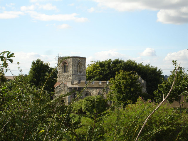
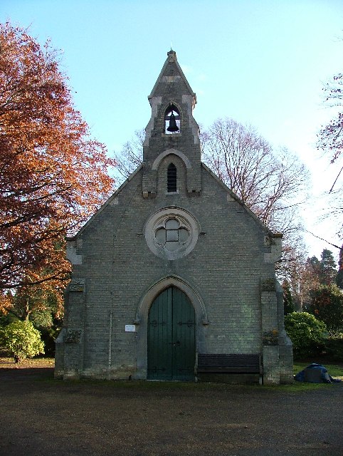
Historically, Astwick has roots dating back to the Anglo-Saxon period, and evidence of Roman occupation has also been found in the area. The village has retained its rural character over the years, with a mix of traditional thatched cottages and more modern housing. The village church, dedicated to St. Guthlac, is a prominent landmark, and its construction dates back to the 12th century.

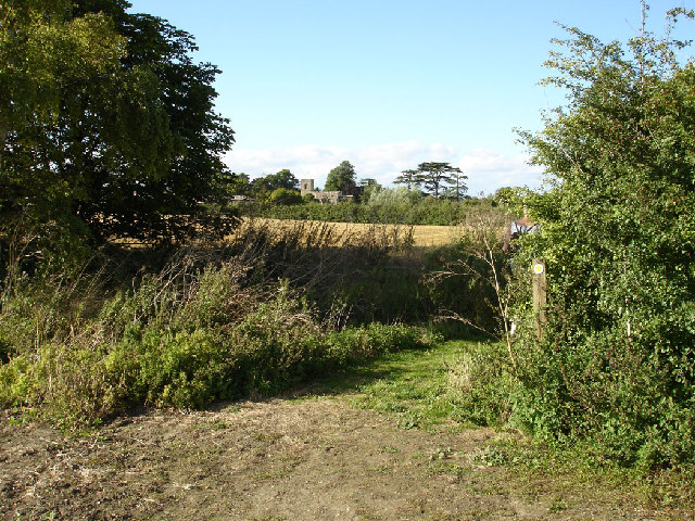
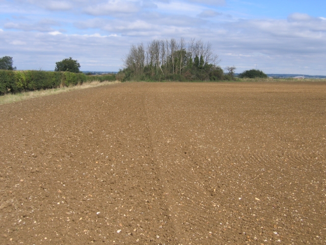
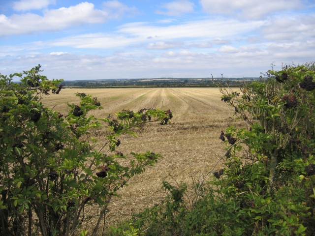
Astwick is known for its picturesque landscapes, offering residents and visitors ample opportunities for outdoor activities. The village is surrounded by beautiful walking trails, providing a chance to explore the scenic countryside and enjoy the fresh air. The nearby Barton Hills Nature Reserve is a popular destination for nature enthusiasts, boasting diverse flora and fauna.

Despite its small size, Astwick benefits from a close proximity to larger towns and amenities. The market town of Hitchin is just a short drive away, offering a range of shops, restaurants, and leisure facilities. Additionally, the village is well-connected to the rest of the country via the nearby A1(M) motorway and the nearby train stations in Hitchin and Arlesey.

Overall, Astwick is a charming village that offers a tranquil escape from the hustle and bustle of city life. Its picturesque surroundings, rich history, and welcoming community make it an appealing place to live or visit for those seeking a peaceful countryside retreat.

If you have any feedback on the listing, please let us know in the comments section below.
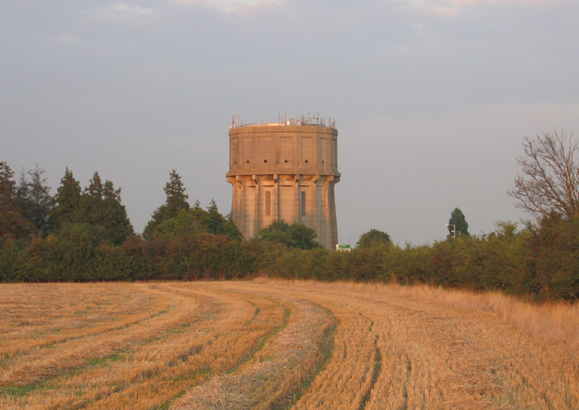
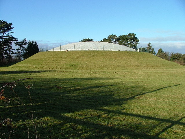
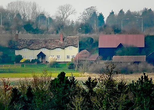
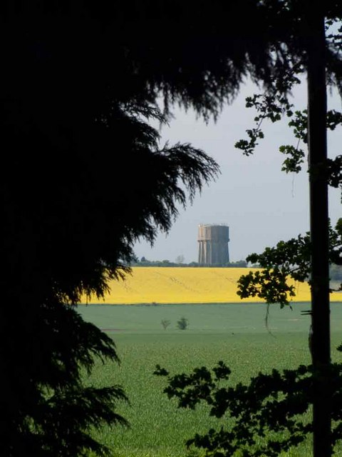
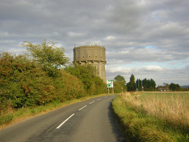
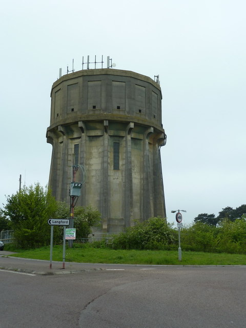
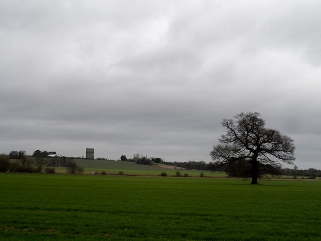
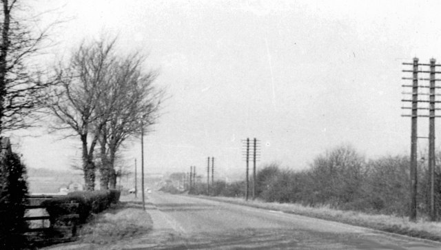
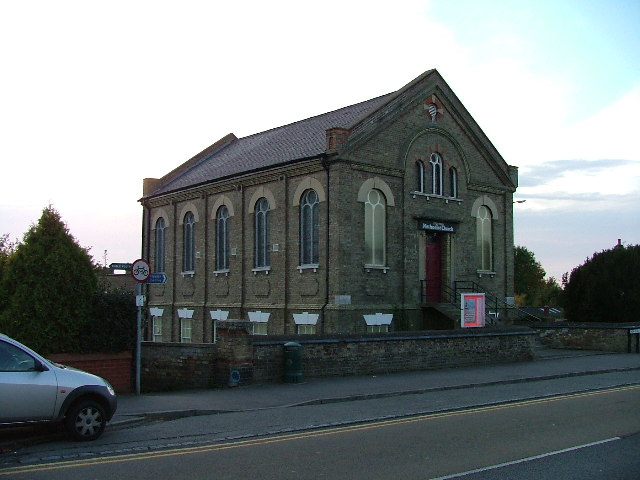
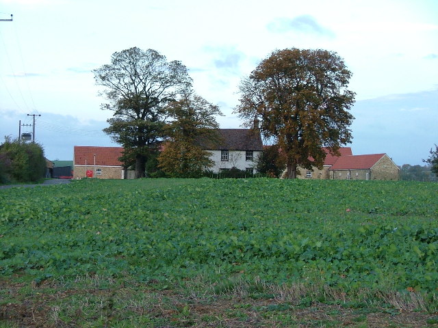
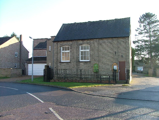
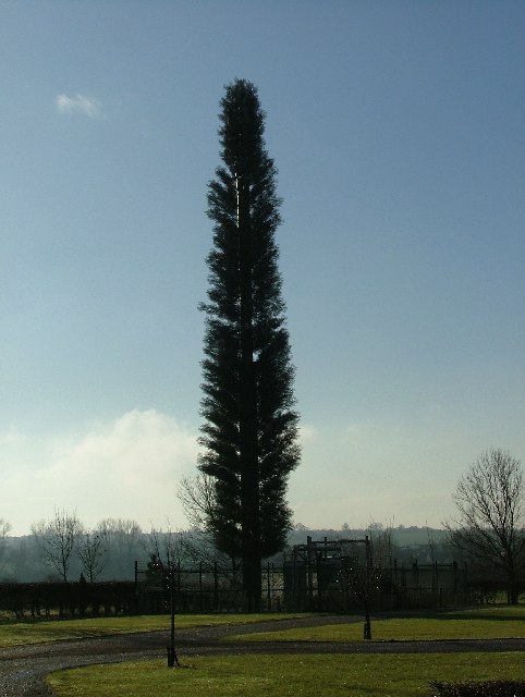
Astwick Images

Images are sourced within 2km of 52.032224/-0.22578604 or Grid Reference TL2138. Thanks to Geograph Open Source API. All images are credited.

Langford Water Tower, Beds The water tower is an imposing landmark on Topler's Hill beside the A1 Ermine Street, south of Biggleswade, Beds; view from the west.
Langford Water Tower, Beds
The water tower is an imposing landmark on Topler's Hill beside the A1 Ermine Street, south of Biggleswade, Beds; view from the west.
Langford covered reservoir. This reservoir sits next to the water tower.
Langford covered reservoir.
This reservoir sits next to the water tower.
House at Edworth Manor Farm
Topler's Hill Watertower
Langford Water Tower Water tower on Topler's Hill
Langford Water Tower
Water tower on Topler's Hill
Langford Water Tower Concrete structure visible from A1. Opened in 1934. Holds 300000 Gallons of water.
Langford Water Tower
Concrete structure visible from A1. Opened in 1934. Holds 300000 Gallons of water.
Langford water tower Seen from about 1 mile away at Astwick
Langford water tower
Seen from about 1 mile away at Astwick
Great North Road, south of Biggleswade, 1956 View northward at Topler's Hill, c.3 miles south of Biggleswade, along an A1 that 60 years ago was easy to drive - and not yet even doubled. The turning to the left is to Langford. Note the impressive telegraph-poles.
Great North Road, south of Biggleswade, 1956
View northward at Topler's Hill, c.3 miles south of Biggleswade, along an A1 that 60 years ago was easy to drive - and not yet even doubled. The turning to the left is to Langford. Note the impressive telegraph-poles.
St Mary's Chapel. St Mary's Chapel is in the grounds of Caldecote Manor.  It is not accessible to the public.
St Mary's Chapel.
St Mary's Chapel is in the grounds of Caldecote Manor. It is not accessible to the public.
Hinxworth Church over fields nearby. View of the church taken from the footpath near Hinxworth Place.
Hinxworth Church over fields nearby.
View of the church taken from the footpath near Hinxworth Place.
View towards Edworth Road, Astwick, Beds A small copse occupies the far NW corner of Astwick parish, adjacent to the Edworth Road on the Chalky Boulder Clay plateau.
View towards Edworth Road, Astwick, Beds
A small copse occupies the far NW corner of Astwick parish, adjacent to the Edworth Road on the Chalky Boulder Clay plateau.
View west towards Langford, Beds View across arable fields from the footpath south of Edworth Road, looking down towards the Ivel valley.
View west towards Langford, Beds
View across arable fields from the footpath south of Edworth Road, looking down towards the Ivel valley.
Stotfold Methodist Church. This imposing building dominates the corner of Hitchin Rd and High Street, Stotfold.
Stotfold Methodist Church.
This imposing building dominates the corner of Hitchin Rd and High Street, Stotfold.
Waterloo Farm New building can be seen to both sides of the old farm building.  The property is now protected by large gates and is being developed as residential units.
Waterloo Farm
New building can be seen to both sides of the old farm building. The property is now protected by large gates and is being developed as residential units.
Hope (Strict Communion) Baptist Chapel, Stotfold. Stotfold could have been called "Tinytown" since the houses photographed for this square are tiny too.  This Chapel was closed today.
Hope (Strict Communion) Baptist Chapel, Stotfold.
Stotfold could have been called "Tinytown" since the houses photographed for this square are tiny too. This Chapel was closed today.
Telephone mast in the corner of Stotfold Cemetery A fine example of a South Bedfordshire "Orange" tree.
Telephone mast in the corner of Stotfold Cemetery
A fine example of a South Bedfordshire "Orange" tree.
Chapel of Rest, Stotfold Cemetery This chapel appears to be owned by a local undertaker.
Chapel of Rest, Stotfold Cemetery
This chapel appears to be owned by a local undertaker.
Beacon in Stotfold Cemetery This beacon was constructed and lit on 31st December 1992 to celebrate the expansion of the EU to 12 states.
Beacon in Stotfold Cemetery
This beacon was constructed and lit on 31st December 1992 to celebrate the expansion of the EU to 12 states.
Show me another place!

Astwick is located at Grid Ref: TL2138 (Lat: 52.032224, Lng: -0.22578604)

Unitary Authority: Central Bedfordshire

Police Authority: Bedfordshire

What 3 Words

///supply.magma.beaten. Near Astwick, Bedfordshire

Nearby Locations

Stotfold Common Astwick

Related Wikis

Astwick

Astwick is a hamlet and civil parish in the Central Bedfordshire district of the county of Bedfordshire, England about 12.5 miles (20 km) south-east of...
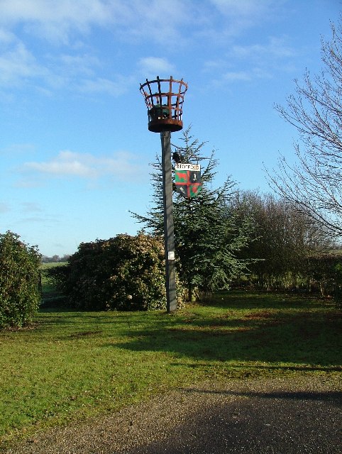
Stotfold F.C.

Stotfold Football Club is a football club based at Stotfold, Bedfordshire, England. They play in the Southern League Division One Central. The club is...

Stotfold

Stotfold is a town and civil parish in the Central Bedfordshire borough of Bedfordshire, England. The town covers 2,207 acres (8.93 km2) and the River...

St Mary Magdalene's Church, Caldecote

St Mary Magdalene's Church is a redundant Anglican church standing in the deserted medieval village of Caldecote, Hertfordshire, England. It is recorded...

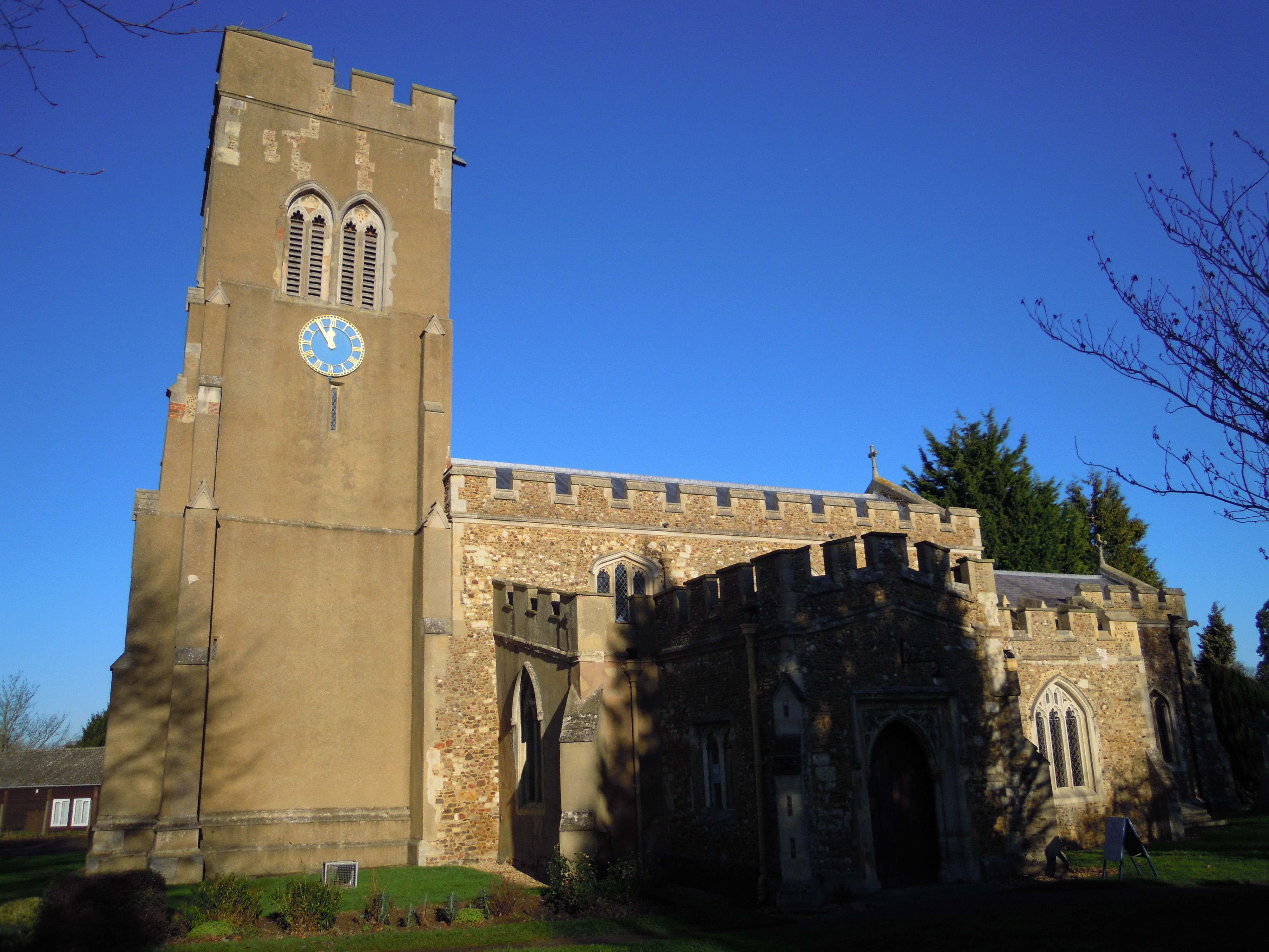
Church of St Mary, Stotfold

The Church of St Mary the Virgin is the Church of England parish church for Stotfold and nearby Fairfield in Bedfordshire. The church comes under the Diocese...

Etonbury Academy

Etonbury Academy (formerly Etonbury Middle School) is an extended secondary school with Academy Status that is located in Central Bedfordshire, catering...

Stotfold Mill Meadows

Stotfold Mill Meadows is a 3.4 hectare Local Nature Reserve (LNR) in Stotfold in Bedfordshire. It was declared an LNR by Central Bedfordshire Council in...

St George's Church, Edworth

St George's Church, Edworth, is a redundant Anglican church in the village of Edworth, Bedfordshire, England. It is recorded in the National Heritage...

Nearby Amenities

Located within 500m of 52.032224,-0.22578604
Post Box
Collection Times: Mo-Fr 16:00; Sa 07:30
Post Box Type: lamp
Ref: SG5 103
Royal Cypher: EIIR
Royal Cypher Wikidata: Q33102113
Lat/Long: 52.032217/-0.2314638
Fixme: Sign Saying "Astwick", but it's parallel to the road, so you don't know whether this is "start" or "end" !
Traffic Sign: city_limit
Lat/Long: 52.0322082/-0.2315176
Astwick Bury Farm
Lat/Long: 52.0320364/-0.2304854
Barrier: kissing_gate
Foot: yes
Lat/Long: 52.0311188/-0.2294744
Barrier: kissing_gate
Foot: yes
Lat/Long: 52.0309095/-0.22762
Barrier: kissing_gate
Foot: yes
Lat/Long: 52.0311835/-0.2305436
Bowman's Mill
Disused: yes
Man Made: watermill
Lat/Long: 52.0310505/-0.2277277
Barrier: kissing_gate
Foot: yes
Lat/Long: 52.0318148/-0.225967
Barrier: kissing_gate
Foot: yes
Lat/Long: 52.0306385/-0.22173
Barrier: kissing_gate
Foot: yes
Lat/Long: 52.0317674/-0.2320937
Barrier: kissing_gate
Foot: yes
Lat/Long: 52.0312458/-0.2275092
Power: pole
Lat/Long: 52.0302033/-0.2234708
Power: pole
Lat/Long: 52.0294904/-0.2303292
Power: pole
Lat/Long: 52.0290051/-0.2270388
Power: pole
Lat/Long: 52.029761/-0.224777
Power: pole
Lat/Long: 52.0291767/-0.2281788
Power: pole
Lat/Long: 52.0293236/-0.2260947
Power: pole
Lat/Long: 52.0301868/-0.232129
Power: pole
Lat/Long: 52.0304919/-0.2201241
Power: pole
Lat/Long: 52.0293254/-0.2292376
Power: pole
Lat/Long: 52.0298452/-0.2312412
Power: pole
Lat/Long: 52.0305431/-0.2224308
Power: pole
Lat/Long: 52.0308815/-0.2213948
Barrier: stile
Foot: yes
Motor Vehicle: no
Lat/Long: 52.0306122/-0.2217033
Bench
Backrest: yes
Lat/Long: 52.0301101/-0.2218549
The data included in this document is from www.openstreetmap.org. The data is made available under ODbL.

Have you been to Astwick?

Leave your review of Astwick below (or comments, questions and feedback).