Stotfold Common

Settlement in Bedfordshire

England

Stotfold Common

View towards Edworth Road, Astwick, Beds A small copse occupies the far NW corner of Astwick parish, adjacent to the Edworth Road on the Chalky Boulder Clay plateau.
View towards Edworth Road, Astwick, Beds Credit: Rodney Burton

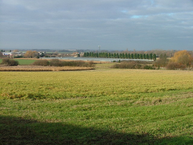
Stotfold Common is a picturesque area located in Bedfordshire, England. It is a designated Site of Special Scientific Interest (SSSI) due to its unique ecological and geological features. Covering an area of approximately 11 hectares, the common is characterized by its diverse range of habitats, including woodland, grassland, and wetland areas.

The woodland section of Stotfold Common consists of a mixture of native tree species, such as oak, birch, and ash, providing a rich habitat for a variety of bird species and small mammals. The grassland areas are home to a wide array of wildflowers, creating a colorful spectacle during the spring and summer months.

One of the key attractions of Stotfold Common is its wetland area, which includes a small pond and marshland. This habitat is particularly important for amphibians and insects, including dragonflies and damselflies. Visitors can often spot these fascinating creatures darting across the water or resting on the surrounding vegetation.

Stotfold Common is a popular destination for nature enthusiasts, walkers, and families looking to enjoy the great outdoors. The well-maintained footpaths and trails make it easy to explore the area and appreciate its natural beauty. The common also features picnic areas and benches, providing perfect spots for relaxation and taking in the peaceful surroundings.

Overall, Stotfold Common offers a tranquil escape from the hustle and bustle of everyday life. Its diverse range of habitats and abundant wildlife make it a haven for nature lovers and a valuable asset to the local community.

If you have any feedback on the listing, please let us know in the comments section below.

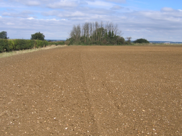
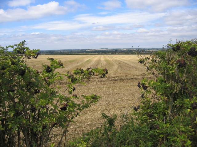
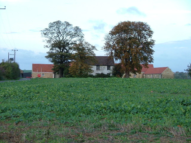
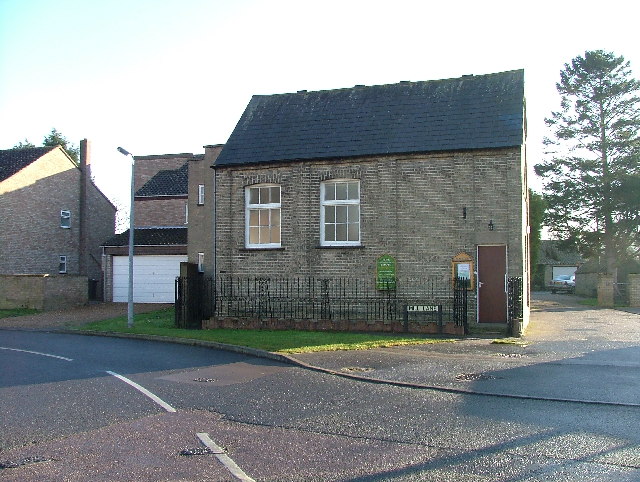
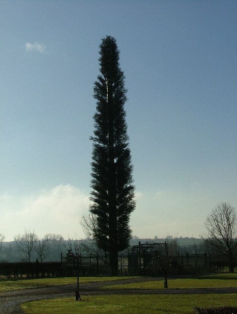
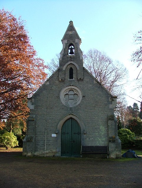
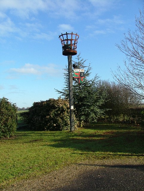
Stotfold Common Images

Images are sourced within 2km of 52.028587/-0.23085706 or Grid Reference TL2138. Thanks to Geograph Open Source API. All images are credited.

View towards Edworth Road, Astwick, Beds A small copse occupies the far NW corner of Astwick parish, adjacent to the Edworth Road on the Chalky Boulder Clay plateau.
View towards Edworth Road, Astwick, Beds
A small copse occupies the far NW corner of Astwick parish, adjacent to the Edworth Road on the Chalky Boulder Clay plateau.
View west towards Langford, Beds View across arable fields from the footpath south of Edworth Road, looking down towards the Ivel valley.
View west towards Langford, Beds
View across arable fields from the footpath south of Edworth Road, looking down towards the Ivel valley.
Stotfold Methodist Church. This imposing building dominates the corner of Hitchin Rd and High Street, Stotfold.
Stotfold Methodist Church.
This imposing building dominates the corner of Hitchin Rd and High Street, Stotfold.
Waterloo Farm New building can be seen to both sides of the old farm building.  The property is now protected by large gates and is being developed as residential units.
Waterloo Farm
New building can be seen to both sides of the old farm building. The property is now protected by large gates and is being developed as residential units.
Two tiny houses in Stotfold. These two small houses are not big enough to swing a cat in (unless it is a very small cat and you have short arms).
Two tiny houses in Stotfold.
These two small houses are not big enough to swing a cat in (unless it is a very small cat and you have short arms).
Hope (Strict Communion) Baptist Chapel, Stotfold. Stotfold could have been called "Tinytown" since the houses photographed for this square are tiny too.  This Chapel was closed today.
Hope (Strict Communion) Baptist Chapel, Stotfold.
Stotfold could have been called "Tinytown" since the houses photographed for this square are tiny too. This Chapel was closed today.
Telephone mast in the corner of Stotfold Cemetery A fine example of a South Bedfordshire "Orange" tree.
Telephone mast in the corner of Stotfold Cemetery
A fine example of a South Bedfordshire "Orange" tree.
Chapel of Rest, Stotfold Cemetery This chapel appears to be owned by a local undertaker.
Chapel of Rest, Stotfold Cemetery
This chapel appears to be owned by a local undertaker.
Beacon in Stotfold Cemetery This beacon was constructed and lit on 31st December 1992 to celebrate the expansion of the EU to 12 states.
Beacon in Stotfold Cemetery
This beacon was constructed and lit on 31st December 1992 to celebrate the expansion of the EU to 12 states.
War Memorial, Stotfold Cemetery This war memorial stands in the corner of Stotfold Cemetery.
War Memorial, Stotfold Cemetery
This war memorial stands in the corner of Stotfold Cemetery.
Wrayfields Wrayfields is a hamlet outside of Stotfold.  This is Wrayfield House.
Wrayfields
Wrayfields is a hamlet outside of Stotfold. This is Wrayfield House.
Nursery near the A1(M). These vast greenhouses adjacent to the M1 probabbly look more impressive from the air.
Nursery near the A1(M).
These vast greenhouses adjacent to the M1 probabbly look more impressive from the air.
Allotments in Stotfold. These allotments look like they could do with a bit of care and attention.
Allotments in Stotfold.
These allotments look like they could do with a bit of care and attention.
King's Baptist Church Stotfold. Someone has designed this church with some iron or steel components high up on the copper spire.  The result....
King's Baptist Church Stotfold.
Someone has designed this church with some iron or steel components high up on the copper spire. The result....
The Parish Church of St Guthlac, Astwick. I'd never heard of St Guthlac but here is a link.

<span class="nowrap"><a title="http://www.earlybritishkingdoms.com/adversaries/bios/guthlac.html" rel="nofollow ugc noopener" href="http://www.earlybritishkingdoms.com/adversaries/bios/guthlac.html">Link</a><img style="margin-left:2px;" alt="External link" title="External link - shift click to open in new window" src="https://s1.geograph.org.uk/img/external.png" width="10" height="10"/></span>

This lovely old church has a chimney in the middle.
The Parish Church of St Guthlac, Astwick.
I'd never heard of St Guthlac but here is a link. LinkExternal link This lovely old church has a chimney in the middle.
Travelodge Motel Taken on Christmas day.  There seemed to be nobody staying there.
Travelodge Motel
Taken on Christmas day. There seemed to be nobody staying there.
Stotfold Mill, Mill Lane This watermill has been fully restored to working condition following a fire which almost destroyed the building in 1992. It has the UK's widest cornmill waterwheel and is a magnificent site to see.
Stotfold Mill, Mill Lane
This watermill has been fully restored to working condition following a fire which almost destroyed the building in 1992. It has the UK's widest cornmill waterwheel and is a magnificent site to see.
Set-aside, Astwick, Beds sprayed to kill off black grass, the modern way in farming.
Set-aside, Astwick, Beds
sprayed to kill off black grass, the modern way in farming.
Show me another place!

Stotfold Common is located at Grid Ref: TL2138 (Lat: 52.028587, Lng: -0.23085706)

Unitary Authority: Central Bedfordshire

Police Authority: Bedfordshire

What 3 Words

///happily.crossword.corrupted. Near Astwick, Bedfordshire

Nearby Locations

Astwick Stotfold Common

Related Wikis

Astwick

Astwick is a hamlet and civil parish in the Central Bedfordshire district of the county of Bedfordshire, England about 12.5 miles (20 km) south-east of...

Stotfold F.C.

Stotfold Football Club is a football club based at Stotfold, Bedfordshire, England. They play in the Southern League Division One Central. The club is...

Stotfold

Stotfold is a town and civil parish in the Central Bedfordshire borough of Bedfordshire, England. The town covers 2,207 acres (8.93 km2) and the River...

Etonbury Academy

Etonbury Academy (formerly Etonbury Middle School) is an extended secondary school with Academy Status that is located in Central Bedfordshire, catering...

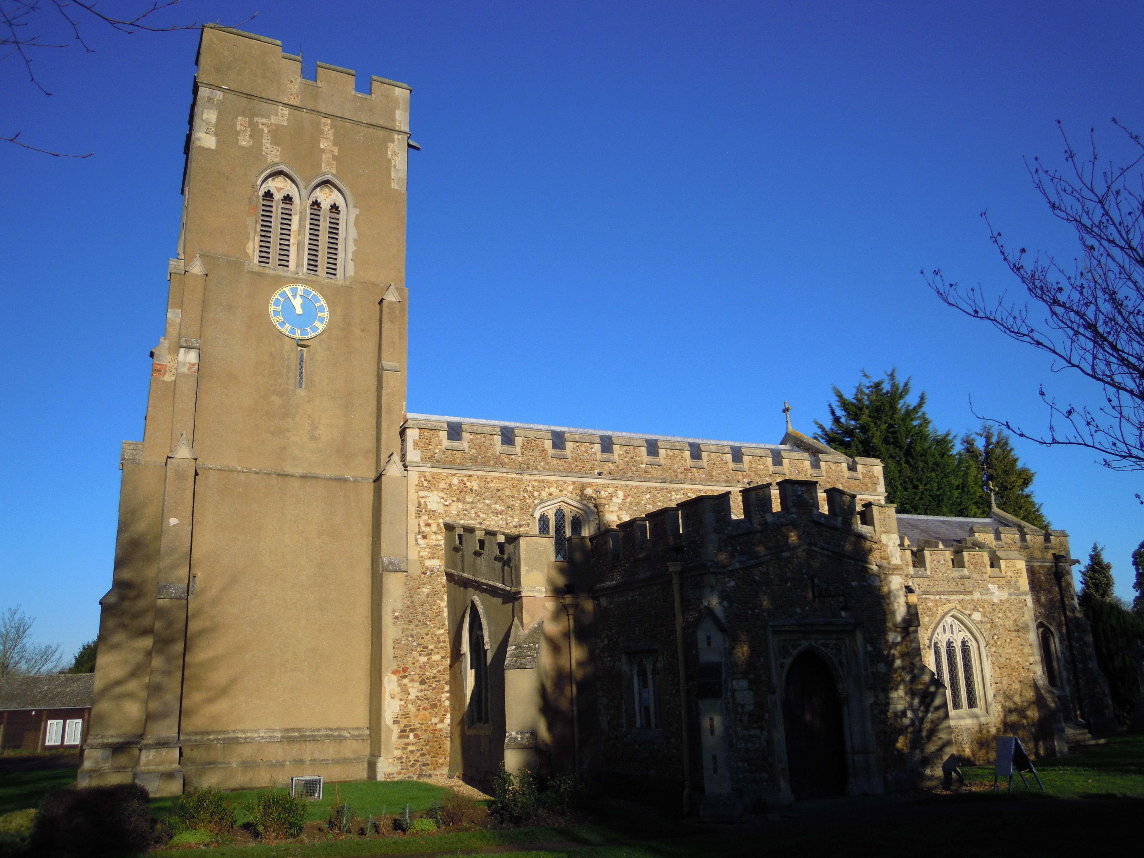
Church of St Mary, Stotfold

The Church of St Mary the Virgin is the Church of England parish church for Stotfold and nearby Fairfield in Bedfordshire. The church comes under the Diocese...

Stotfold Mill Meadows

Stotfold Mill Meadows is a 3.4 hectare Local Nature Reserve (LNR) in Stotfold in Bedfordshire. It was declared an LNR by Central Bedfordshire Council in...

St Mary Magdalene's Church, Caldecote

St Mary Magdalene's Church is a redundant Anglican church standing in the deserted medieval village of Caldecote, Hertfordshire, England. It is recorded...

Etonbury Castle

Etonbury Castle was a castle in the town of Arlesey, located near the road to Baldock, in the county of Bedfordshire, England (grid reference TL192379...

Nearby Amenities

Located within 500m of 52.028587,-0.23085706
Fixme: Limit of survey
Lat/Long: 52.0252637/-0.2281399
Post Box
Collection Times: Mo-Fr 16:00; Sa 07:30
Post Box Type: lamp
Ref: SG5 103
Royal Cypher: EIIR
Royal Cypher Wikidata: Q33102113
Lat/Long: 52.032217/-0.2314638
Waste Basket
Note: Just an ordinary plastic-lined bin, painted green, signed "dog waste"
Waste: dog_excrement
Lat/Long: 52.0276823/-0.229609
Fixme: Sign Saying "Astwick", but it's parallel to the road, so you don't know whether this is "start" or "end" !
Traffic Sign: city_limit
Lat/Long: 52.0322082/-0.2315176
Bench
Lat/Long: 52.0278647/-0.2298396
Note: This is the end of Stotfold and beginning of NSL. NSL to NW, 30mph to SE
Traffic Sign: city_limit
Lat/Long: 52.0259699/-0.2284781
Astwick Bury Farm
Lat/Long: 52.0320364/-0.2304854
Barrier: kissing_gate
Foot: yes
Lat/Long: 52.0311188/-0.2294744
Barrier: kissing_gate
Foot: yes
Lat/Long: 52.0309095/-0.22762
Barrier: kissing_gate
Foot: yes
Lat/Long: 52.0311835/-0.2305436
Bowman's Mill
Disused: yes
Man Made: watermill
Lat/Long: 52.0310505/-0.2277277
Barrier: kissing_gate
Foot: yes
Lat/Long: 52.0318148/-0.225967
Barrier: kissing_gate
Foot: yes
Lat/Long: 52.0317674/-0.2320937
Barrier: kissing_gate
Foot: yes
Lat/Long: 52.0312458/-0.2275092
Power: pole
Lat/Long: 52.0294904/-0.2303292
Power: pole
Lat/Long: 52.0290051/-0.2270388
Power: pole
Lat/Long: 52.029761/-0.224777
Power: pole
Lat/Long: 52.0291767/-0.2281788
Power: pole
Lat/Long: 52.0293236/-0.2260947
Power: pole
Lat/Long: 52.0301868/-0.232129
Power: pole
Lat/Long: 52.0293254/-0.2292376
Power: pole
Lat/Long: 52.0298452/-0.2312412
Man Made: mast
Source: Bing, observation
Tower Type: communication
Lat/Long: 52.0257177/-0.2336901
Direction: 215
Generator Method: photovoltaic
Generator Output Electricity: yes
Generator Solar Modules: 4
Generator Source: solar
Generator Type: solar_photovoltaic_panel
Location: roof
Power: generator
Lat/Long: 52.0263326/-0.2246895
Direction: 210
Generator Method: photovoltaic
Generator Output Electricity: yes
Generator Solar Modules: 4
Generator Source: solar
Generator Type: solar_photovoltaic_panel
Location: roof
Power: generator
Lat/Long: 52.0260126/-0.224922
Direction: 205
Fixme: survey for panel count
Generator Method: photovoltaic
Generator Output Electricity: yes
Generator Solar Modules: 10
Generator Source: solar
Generator Type: solar_photovoltaic_panel
Location: roof
Power: generator
Lat/Long: 52.0249448/-0.2269003
Direction: 205
Fixme: survey for panel count
Generator Method: photovoltaic
Generator Output Electricity: yes
Generator Solar Modules: 10
Generator Source: solar
Generator Type: solar_photovoltaic_panel
Location: roof
Power: generator
Lat/Long: 52.0249967/-0.2270757
Direction: 225
Fixme: survey for panel count
Generator Method: photovoltaic
Generator Output Electricity: yes
Generator Solar Modules: 10
Generator Source: solar
Generator Type: solar_photovoltaic_panel
Location: roof
Power: generator
Lat/Long: 52.0250728/-0.2272686
Direction: 115
Generator Method: photovoltaic
Generator Output Electricity: yes
Generator Solar Modules: 8
Generator Source: solar
Generator Type: solar_photovoltaic_panel
Location: roof
Power: generator
Lat/Long: 52.0251603/-0.2265986
The data included in this document is from www.openstreetmap.org. The data is made available under ODbL.

Have you been to Stotfold Common?

Leave your review of Stotfold Common below (or comments, questions and feedback).