Almhouse Belt
Wood, Forest in Cambridgeshire East Cambridgeshire
England
Almhouse Belt
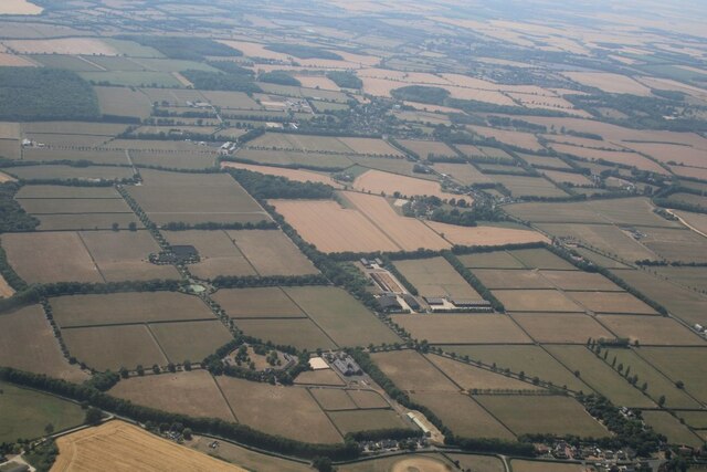
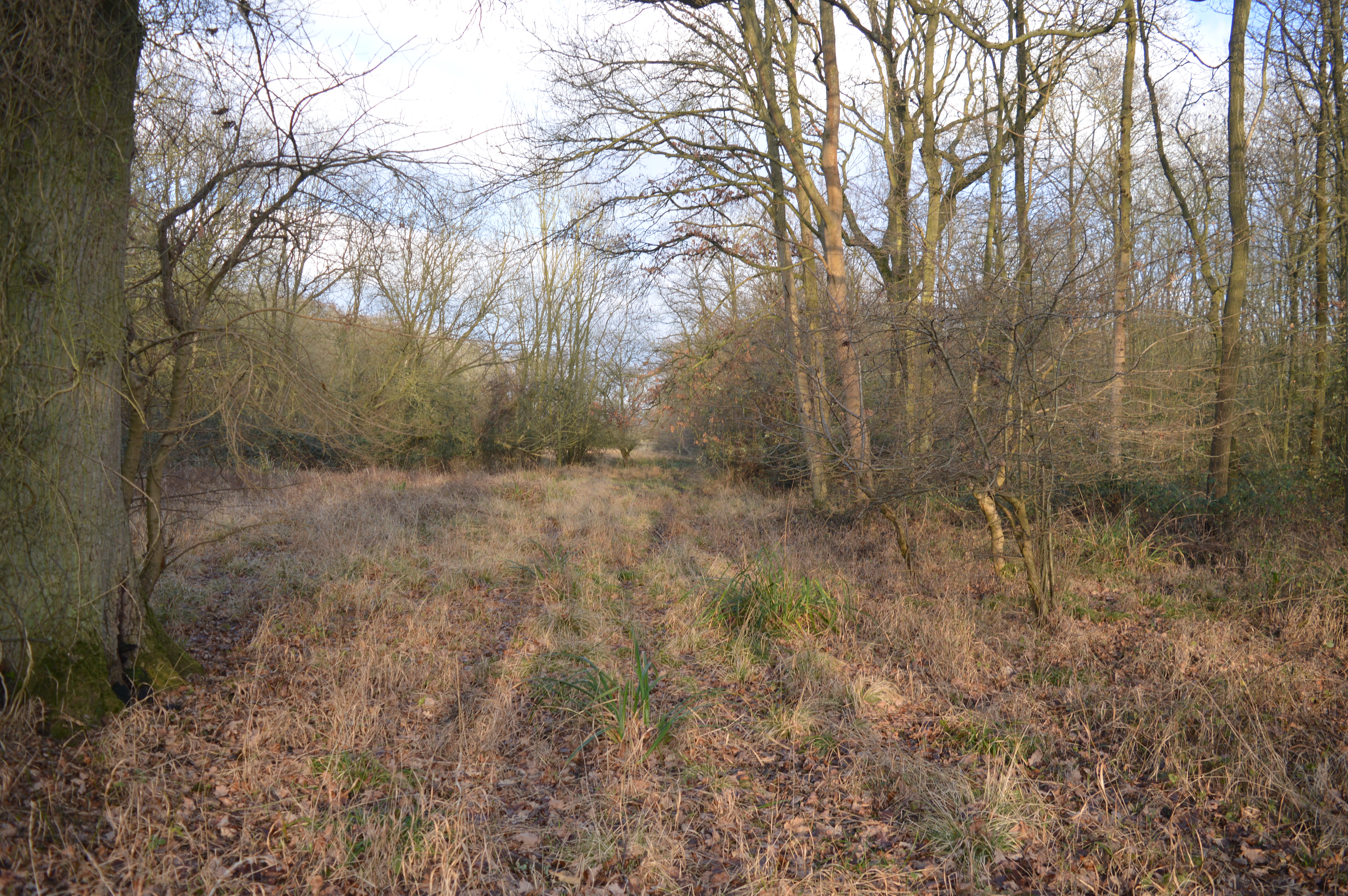
Almhouse Belt, located in Cambridgeshire, is a picturesque woodland area renowned for its natural beauty and tranquil atmosphere. This enchanting forest is nestled within the heart of the county, providing a serene escape from the bustling city life.
Covering an impressive area, Almhouse Belt boasts a diverse range of trees, including oak, beech, and ash, amongst many others. These towering giants create a dense canopy that filters the sunlight, casting ethereal shadows along the forest floor. The forest is also home to an array of wildlife, such as squirrels, birds, and rabbits, which can often be spotted darting through the undergrowth.
The woodland is crisscrossed with a network of winding footpaths, allowing visitors to explore the area at their own pace. These well-maintained trails offer a variety of routes, catering to both casual strollers and avid hikers alike. As you wander along the paths, you will encounter charming clearings dotted with wildflowers, providing a perfect spot for a picnic or simply to take in the natural beauty.
Almhouse Belt is not only a haven for nature lovers but also a place of historical significance. The forest has been a protected area for centuries, with records dating back to the medieval period. Its preservation efforts have ensured that the forest maintains its timeless beauty and ecological importance.
Whether you seek solace in nature, wish to explore a historic site, or simply want to immerse yourself in the wonders of a woodland, Almhouse Belt in Cambridgeshire is a destination that offers a truly enchanting experience for all.
If you have any feedback on the listing, please let us know in the comments section below.
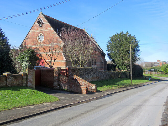
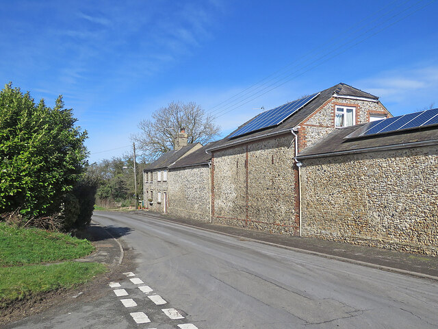
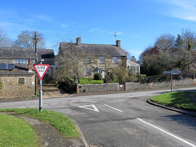
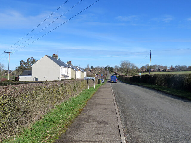
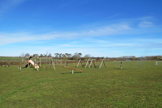
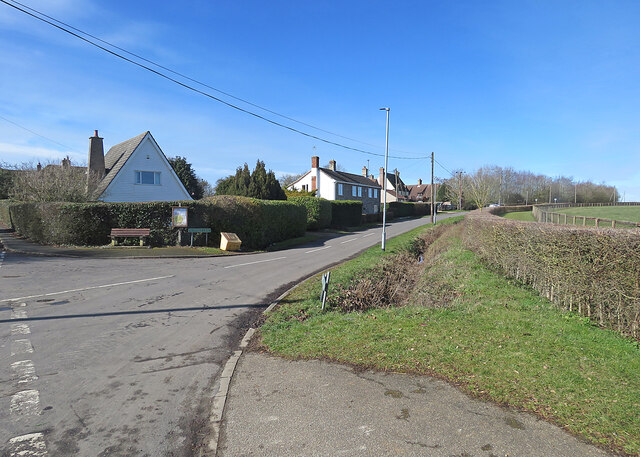
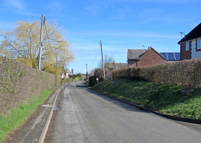
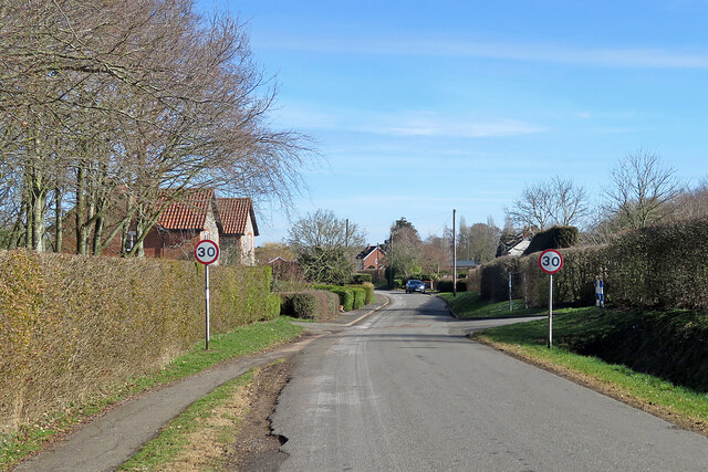
Almhouse Belt Images
Images are sourced within 2km of 52.192045/0.4581449 or Grid Reference TL6857. Thanks to Geograph Open Source API. All images are credited.


Almhouse Belt is located at Grid Ref: TL6857 (Lat: 52.192045, Lng: 0.4581449)
Administrative County: Cambridgeshire
District: East Cambridgeshire
Police Authority: Cambridgeshire
What 3 Words
///tune.different.spouting. Near Newmarket, Suffolk
Nearby Locations
Related Wikis

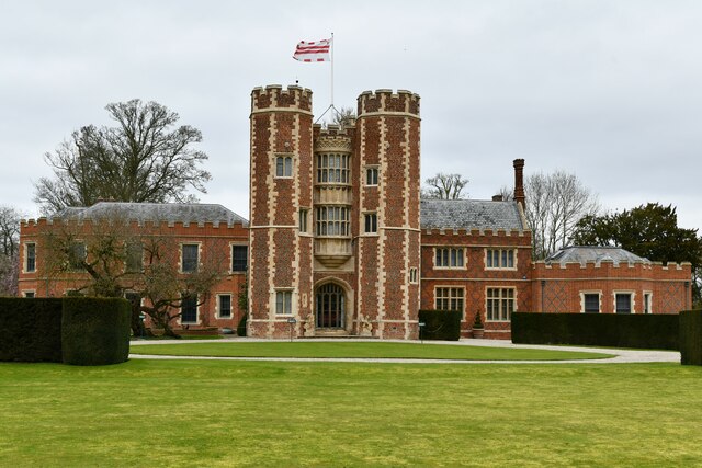
Kirtling Tower
Kirtling Tower was a medieval castle and Tudor country house in Kirtling, Cambridgeshire, England, of which the gatehouse still remains. == History... ==

Kirtling
Kirtling, together with Kirtling Green and Kirtling Towers, is a scattered settlement in the south-eastern edge of the English county of Cambridgeshire...

Woodditton
Woodditton is a village and civil parish in East Cambridgeshire, England. The other settlements in the parish are Ditton Green, Little Ditton and Saxon...

Upend
Upend is a hamlet in the east of Cambridgeshire. It is five miles (8.0 km) south-east of Newmarket and lies in the same parish as Kirtling. Until the...
Ten Wood
Ten Wood is a 17.7-hectare (44-acre) biological Site of Special Scientific Interest east of Burrough Green in Cambridgeshire.This ancient wood is of the...

Cheveley
The village of Cheveley is situated in the county of Cambridgeshire and lies about four miles east-south-east of the market town of Newmarket. The population...
Ashley, Cambridgeshire
Ashley is a village and civil parish in the East Cambridgeshire district of Cambridgeshire, England, about 4 miles (6.4 km) east of Newmarket. The modern...
Cheveley Castle
Cheveley Castle was a medieval fortified manor house near Cheveley, Cambridgeshire, England. == Details == Cheveley Castle was built by Sir John Pulteney...
Related Videos

Monday bank holiday wedding - 27.08.18 Granary Estates
When the wedding is Rock'in - Bohemian Rhapsody come knocking! www.mobile-disco-norfolk.co.uk.

Granary Estate Newmarket Wedding
A wedding in Newmarket Suffolk at The Granary Estates filmed by Suffolk Wedding Videographer Steve Hood Granary Barns.
Resin Filled Terracotta (best finish for terracotta).
How to seal a terracotta floor to get the best out of the beauty of the terracotta tiles. Resin filled terracotta lasts a lifetime, is easy to ...
Nearby Amenities
Located within 500m of 52.192045,0.4581449Have you been to Almhouse Belt?
Leave your review of Almhouse Belt below (or comments, questions and feedback).