Kirtling Tower
Heritage Site in Cambridgeshire East Cambridgeshire
England
Kirtling Tower
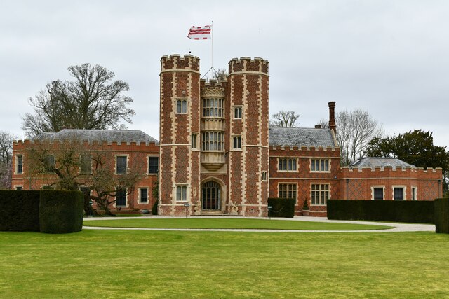
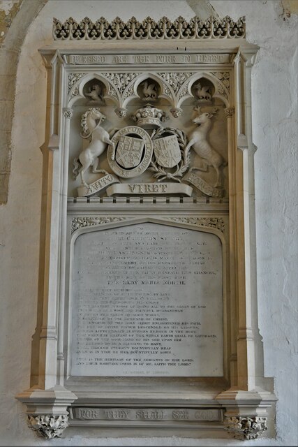
Kirtling Tower is a historic landmark located in the village of Kirtling, Cambridgeshire, England. This Grade I listed building is a remarkable example of medieval architecture and has been designated as a heritage site due to its historical and cultural significance.
The tower was originally constructed in the 12th century as a fortified manor house, and it has witnessed numerous architectural changes throughout its long history. The structure consists of three floors, each exhibiting distinct features from different periods. The ground floor, known as the undercroft, showcases a beautifully vaulted ceiling with ribbed arches, reflecting the medieval era. The first floor boasts large Tudor-style windows and a grand fireplace, suggesting its use as a more comfortable living space during the 16th century. The top floor, added in the 18th century, features a Georgian-style interior with elegant plasterwork and decorative cornices.
Kirtling Tower has been associated with several notable figures throughout history. It was once the residence of Catherine of Aragon during her marriage to Henry VIII, making it a significant location in the Tudor period. Additionally, it was owned by the influential Cotton family, who were prominent landowners in the region.
Although the tower is privately owned and not open to the public, its exterior can still be admired from a distance, showcasing the architectural beauty and historical significance of this medieval gem. Kirtling Tower stands as a testament to the rich heritage of Cambridgeshire, offering a glimpse into the past and its fascinating stories.
If you have any feedback on the listing, please let us know in the comments section below.
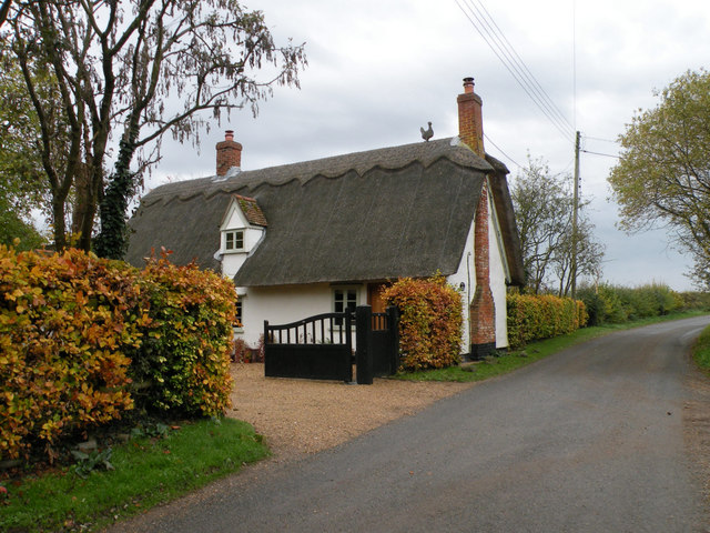
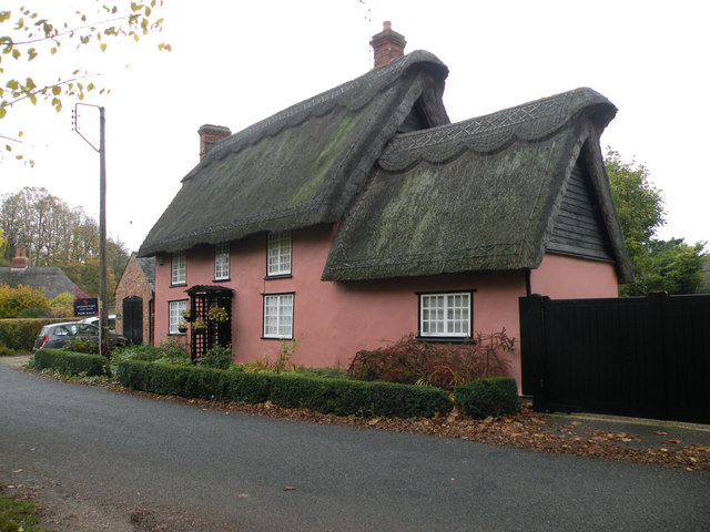
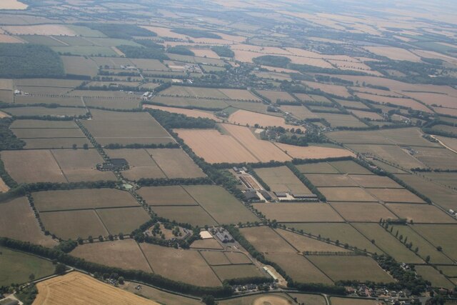
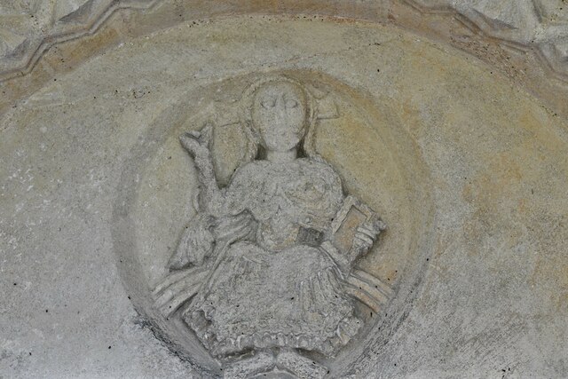
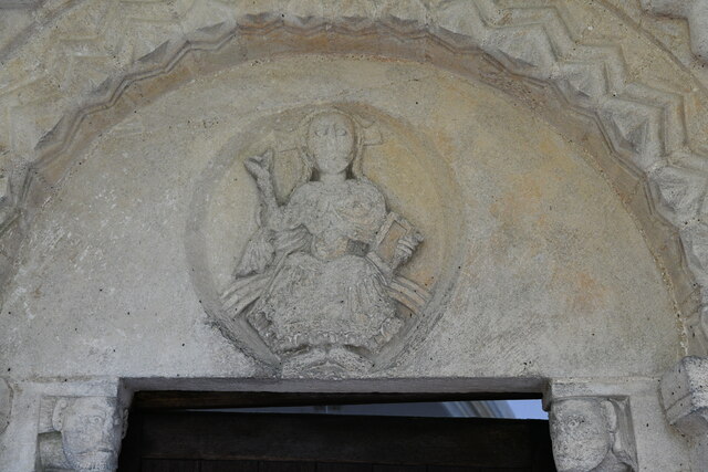
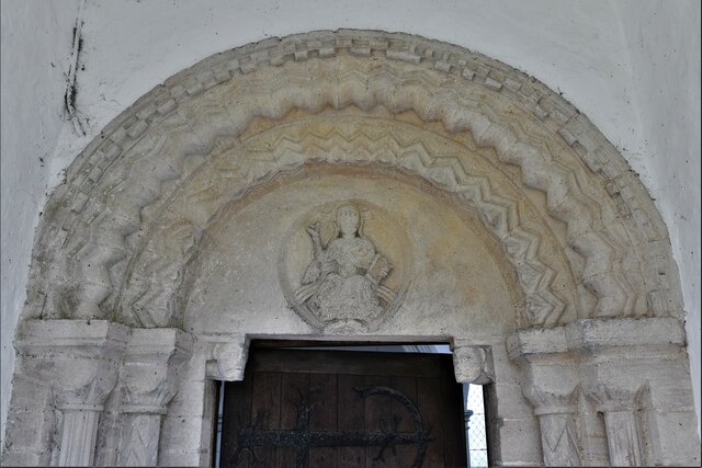
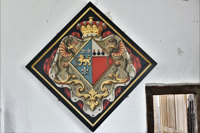
Kirtling Tower Images
Images are sourced within 2km of 52.188/0.463 or Grid Reference TL6857. Thanks to Geograph Open Source API. All images are credited.


Kirtling Tower is located at Grid Ref: TL6857 (Lat: 52.188, Lng: 0.463)
Administrative County: Cambridgeshire
District: East Cambridgeshire
Police Authority: Cambridgeshire
What 3 Words
///generals.lifeguard.scout. Near Newmarket, Suffolk
Nearby Locations
Related Wikis

Kirtling Tower
Kirtling Tower was a medieval castle and Tudor country house in Kirtling, Cambridgeshire, England, of which the gatehouse still remains. == History... ==

Kirtling
Kirtling, together with Kirtling Green and Kirtling Towers, is a scattered settlement in the south-eastern edge of the English county of Cambridgeshire...

Upend
Upend is a hamlet in the east of Cambridgeshire. It is five miles (8.0 km) south-east of Newmarket and lies in the same parish as Kirtling. Until the...

Woodditton
Woodditton is a village and civil parish in East Cambridgeshire, England. The other settlements in the parish are Ditton Green, Little Ditton and Saxon...
Related Videos
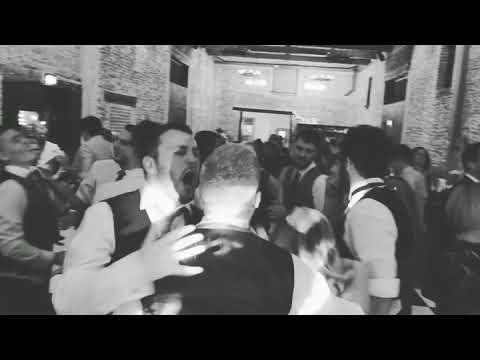
Monday bank holiday wedding - 27.08.18 Granary Estates
When the wedding is Rock'in - Bohemian Rhapsody come knocking! www.mobile-disco-norfolk.co.uk.

Granary Estate Newmarket Wedding
A wedding in Newmarket Suffolk at The Granary Estates filmed by Suffolk Wedding Videographer Steve Hood Granary Barns.
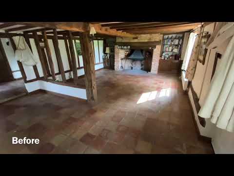
Resin Filled Terracotta (best finish for terracotta).
How to seal a terracotta floor to get the best out of the beauty of the terracotta tiles. Resin filled terracotta lasts a lifetime, is easy to ...
Nearby Amenities
Located within 500m of 52.188,0.463Have you been to Kirtling Tower?
Leave your review of Kirtling Tower below (or comments, questions and feedback).