Toilyard Plantation
Wood, Forest in Cambridgeshire East Cambridgeshire
England
Toilyard Plantation
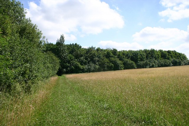
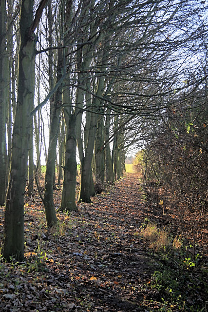
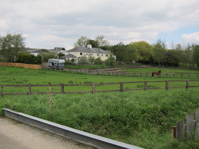
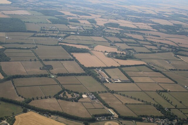
Toilyard Plantation is a scenic woodland located in Cambridgeshire, England. Nestled in the heart of the county, the plantation is renowned for its natural beauty and diverse ecosystem. Spanning over a vast area, it serves as a haven for numerous plant and animal species.
The woodland primarily consists of a mix of deciduous and coniferous trees, creating a stunning contrast of colors throughout the year. Towering oak and beech trees dominate the landscape, while spruce and pine add a touch of evergreen charm. The forest floor is adorned with a rich carpet of wildflowers, ferns, and mosses, providing a delightful sight for nature enthusiasts.
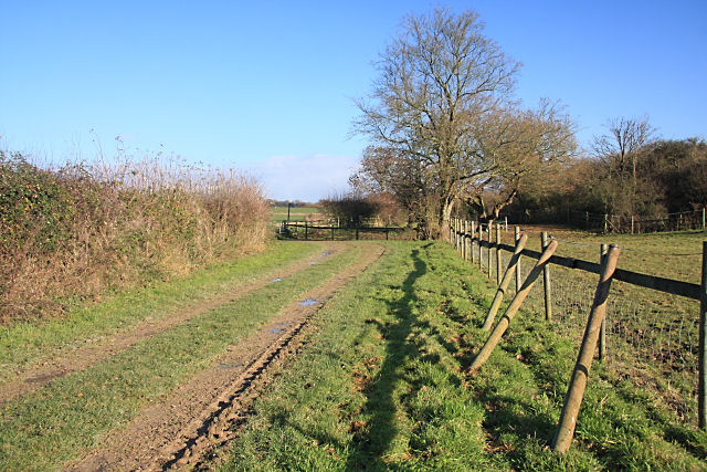
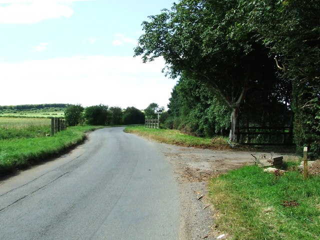
Toilyard Plantation boasts an extensive network of walking trails that wind through its enchanting woods. These paths offer visitors the opportunity to explore the plantation's treasures at their own pace, with each turn revealing a new vista or hidden gem. The tranquil atmosphere and the soothing sound of birdsong create a serene ambiance, making it a popular destination for outdoor lovers seeking respite from the hustle and bustle of everyday life.
The plantation is home to a variety of wildlife, including deer, foxes, and rabbits. Birdwatchers will be delighted by the presence of woodpeckers, owls, and various songbirds. Rare and protected species such as the great crested newt and the silver-washed fritillary butterfly can also be spotted here, making it an important conservation area.
Toilyard Plantation is not only a sanctuary for nature but also a place of historical significance. Its ancient trees and remnants of old structures tell stories of the past, adding a sense of mystery and wonder to the overall experience.
Overall, Toilyard Plantation is a captivating destination, offering visitors a unique opportunity to immerse themselves in the beauty and tranquility of nature while exploring the rich history of the Cambridgeshire region.
If you have any feedback on the listing, please let us know in the comments section below.
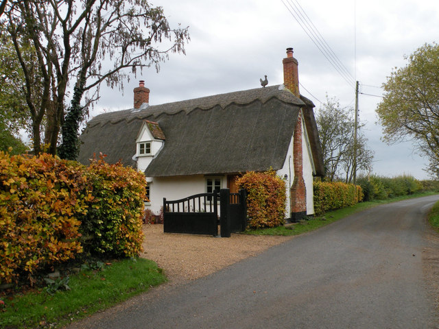
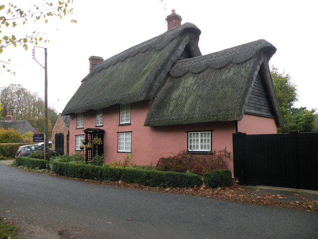
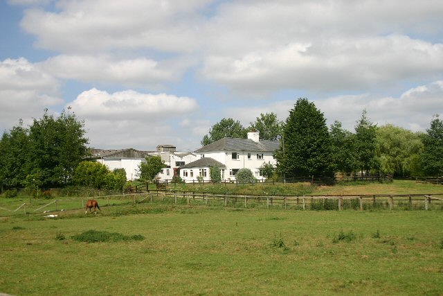
Toilyard Plantation Images
Images are sourced within 2km of 52.186151/0.46519336 or Grid Reference TL6857. Thanks to Geograph Open Source API. All images are credited.


Toilyard Plantation is located at Grid Ref: TL6857 (Lat: 52.186151, Lng: 0.46519336)
Administrative County: Cambridgeshire
District: East Cambridgeshire
Police Authority: Cambridgeshire
What 3 Words
///newer.wobbles.carver. Near Newmarket, Suffolk
Nearby Locations
Related Wikis

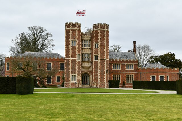
Kirtling Tower
Kirtling Tower was a medieval castle and Tudor country house in Kirtling, Cambridgeshire, England, of which the gatehouse still remains. == History... ==

Kirtling
Kirtling, together with Kirtling Green and Kirtling Towers, is a scattered settlement in the south-eastern edge of the English county of Cambridgeshire...

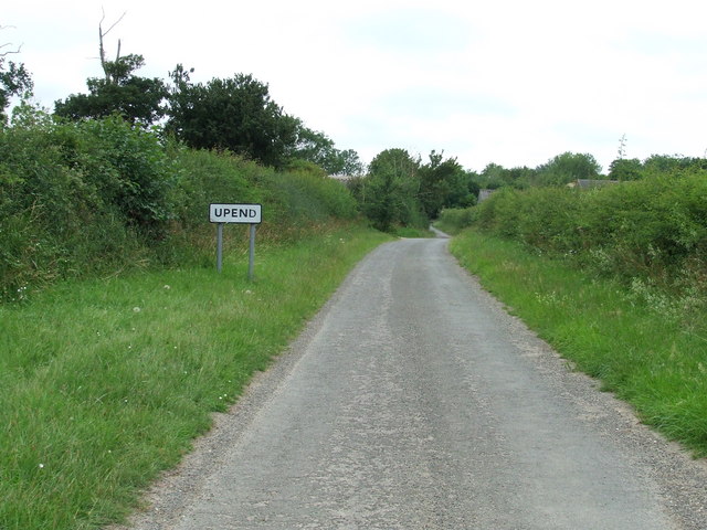
Upend
Upend is a hamlet in the east of Cambridgeshire. It is five miles (8.0 km) south-east of Newmarket and lies in the same parish as Kirtling. Until the...

Woodditton
Woodditton is a village and civil parish in East Cambridgeshire, England. The other settlements in the parish are Ditton Green, Little Ditton and Saxon...
Related Videos

Monday bank holiday wedding - 27.08.18 Granary Estates
When the wedding is Rock'in - Bohemian Rhapsody come knocking! www.mobile-disco-norfolk.co.uk.

Granary Estate Newmarket Wedding
A wedding in Newmarket Suffolk at The Granary Estates filmed by Suffolk Wedding Videographer Steve Hood Granary Barns.
Nearby Amenities
Located within 500m of 52.186151,0.46519336Have you been to Toilyard Plantation?
Leave your review of Toilyard Plantation below (or comments, questions and feedback).