Eleven Acre Belt
Wood, Forest in Norfolk King's Lynn and West Norfolk
England
Eleven Acre Belt
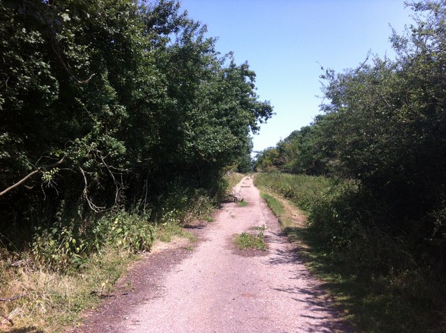
Eleven Acre Belt, located in Norfolk, England, is a picturesque woodland area spanning approximately eleven acres. Situated in the heart of the county, it is a haven for nature enthusiasts and those seeking a tranquil escape from the hustle and bustle of urban life.
The belt is characterized by its stunning collection of trees, predominantly consisting of native British species such as oak, beech, and birch. These towering giants provide a dense canopy, offering shade and shelter to a plethora of flora and fauna that call the area home.
The forest floor is adorned with a rich carpet of wildflowers, ferns, and mosses, creating a vibrant and diverse ecosystem. A network of walking trails winds its way through the woods, inviting visitors to explore the enchanting surroundings at their own pace.
The sound of birdsong fills the air, with a variety of avian species such as woodpeckers, thrushes, and warblers adding to the symphony. Small mammals, including squirrels and rabbits, can often be spotted darting among the undergrowth, while the occasional deer may grace lucky onlookers with its presence.
Eleven Acre Belt is not only a haven for wildlife but also serves as an important green lung, contributing to the overall health and well-being of the local community. It offers a peaceful retreat, where visitors can reconnect with nature and immerse themselves in the beauty of the natural world.
With its stunning woodland setting and abundant biodiversity, Eleven Acre Belt is a true gem in the Norfolk countryside, offering an idyllic escape for anyone seeking solace in nature's embrace.
If you have any feedback on the listing, please let us know in the comments section below.
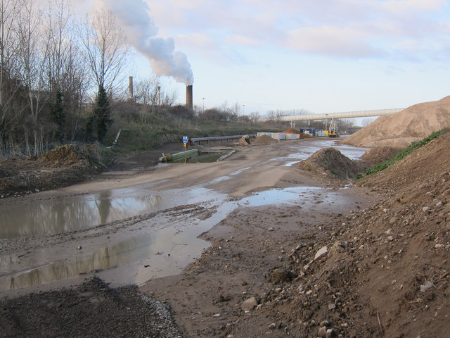
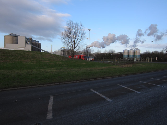
Eleven Acre Belt Images
Images are sourced within 2km of 52.549761/0.47812286 or Grid Reference TL6897. Thanks to Geograph Open Source API. All images are credited.


Eleven Acre Belt is located at Grid Ref: TL6897 (Lat: 52.549761, Lng: 0.47812286)
Administrative County: Norfolk
District: King's Lynn and West Norfolk
Police Authority: Norfolk
What 3 Words
///hedgehog.yesterday.cookbooks. Near Stoke Ferry, Norfolk
Nearby Locations
Related Wikis
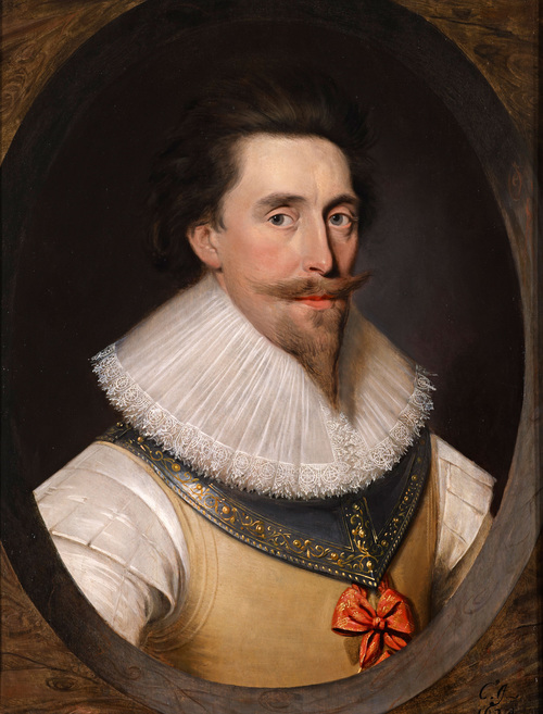
Francis Fane, 1st Earl of Westmorland
Francis Fane, 1st Earl of Westmorland (1 February 1580 – 23 March 1629), (styled Sir Francis Fane between 1603 and 1624) of Mereworth in Kent and of Apethorpe...
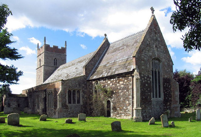
Wretton SSSI
Wretton SSSI is a 20.6-hectare (51-acre) geological Site of Special Scientific Interest north-east of Downham Market in Norfolk. It is a Geological Conservation...

Wissington, Norfolk
Wissington in Norfolk is the site of British Sugar's largest sugar factory in the UK; it is also the largest in Europe. There has been a sugar factory...
Slevesholm Priory
Slevesholm Priory was a Cluniac priory in the civil parish of Methwold, Norfolk, England, that was dedicated to St. Mary and St. Giles. A cell of the Castle...
Wretton
Wretton is a village and civil parish in the English county of Norfolk. It covers an area of 4.7 km2 (1.8 sq mi) and had a population of 392 in 155 households...
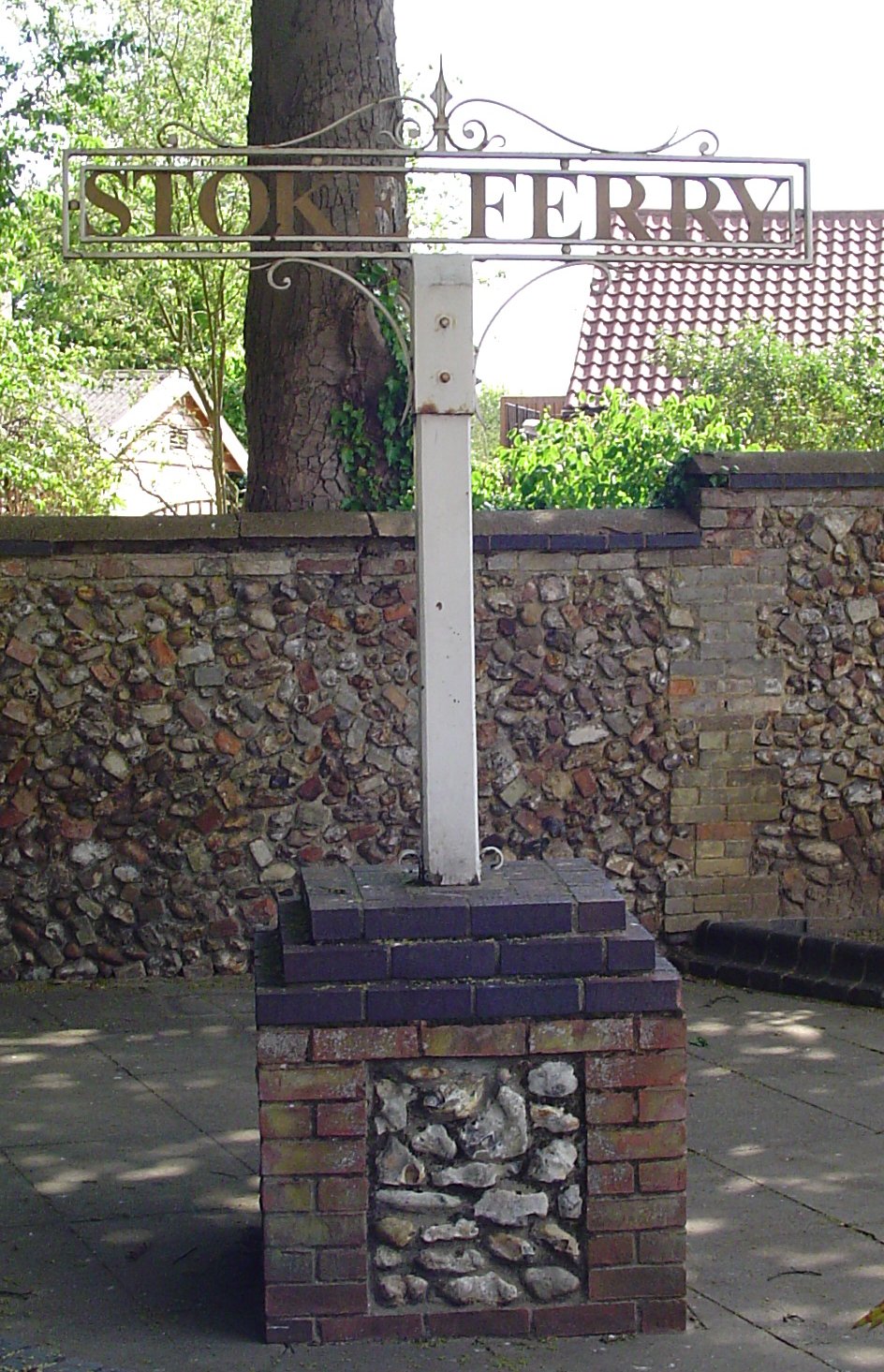
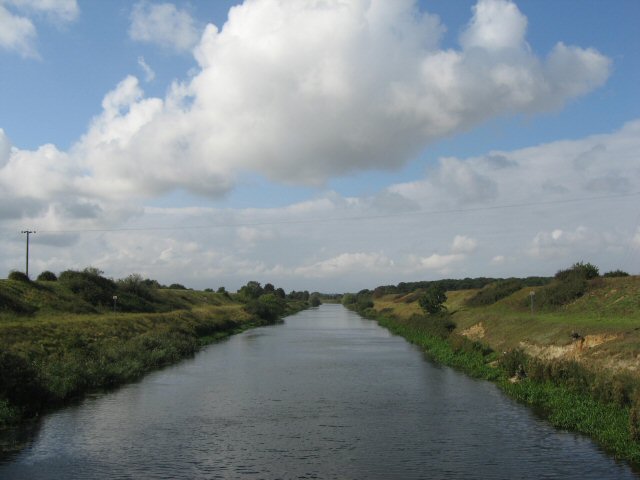
Stoke Ferry
Stoke Ferry is a village and civil parish in the English county of Norfolk, 6.5 miles southeast of Downham Market. The village lies on the River Wissey...

Abbey and West Dereham railway station
Abbey and West Dereham railway station was a railway station on the line between Downham Market and Stoke Ferry. It served the village of West Dereham...
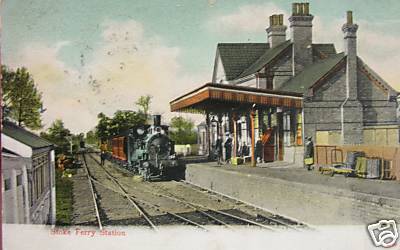
Stoke Ferry railway station
Stoke Ferry is a closed railway station in Norfolk. It was the terminus of a 7¼ mile branch line from Denver which opened on 1 August 1882 and finally...
Related Videos

Today We Visit A Marijuana Farm - With DJ & AJ Audits - DJI Mini 2 RE UPLOAD WITH BETTER AUDIO
Today We Visit A Marijuana Farm - With DJ & AJ Audits - DJI Mini 2 Today I visit, with some friends a site that grows medical grade ...
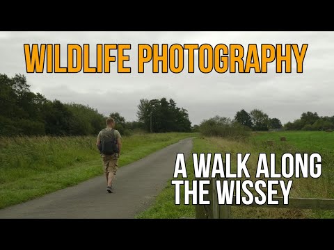
Wildlife Photography Behind The Scenes Vlog - A walk along the Wissey
Help support the channel and Buy Me A Coffee! https://www.buymeacoffee.com/Joemaranophotography In this video I decide to ...
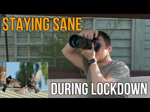
UK WILDLIFE PHOTOGRAPHER attempts to stay sane during COVID LOCKDOWN!
Help support the channel and Buy Me A Coffee! https://www.buymeacoffee.com/Joemaranophotography This video was intended ...
I'd Prefer If You Didnt Fly Any Drone Over Our Cannabis Farm 🌿🎥🛸❌
Today we are joined by @PJAudits and @AJAudits as we take a look at British Sugar PLC, Wissington Sugar Factory, College Rd, ...
Have you been to Eleven Acre Belt?
Leave your review of Eleven Acre Belt below (or comments, questions and feedback).