Duckpond Wood
Wood, Forest in Norfolk King's Lynn and West Norfolk
England
Duckpond Wood

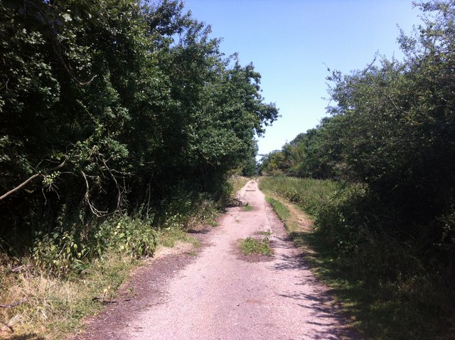
Duckpond Wood is a charming woodland located in the county of Norfolk, England. Situated near the village of Norfolk, this forested area covers approximately 50 acres of land. The wood is named after the picturesque duck pond that lies at its heart, offering a tranquil and idyllic setting for visitors to enjoy.
The wood is predominantly made up of a mixture of deciduous and coniferous trees, creating a diverse and rich ecosystem. Ancient oaks, beech, and birch trees tower above the forest floor, providing shade and shelter for a variety of wildlife. Bluebells and wildflowers carpet the ground in the spring, adding bursts of vibrant color to the already beautiful surroundings.
Duckpond Wood is a popular destination for nature enthusiasts and those seeking a peaceful retreat away from the hustle and bustle of city life. The wood offers several well-maintained walking trails, allowing visitors to explore its enchanting corners. Wildlife enthusiasts will delight in the opportunity to spot a range of creatures, including deer, squirrels, rabbits, and a variety of bird species such as woodpeckers and owls.
In addition to its natural beauty, Duckpond Wood also boasts a small picnic area where families can relax and enjoy a packed lunch. The wood is easily accessible, with a nearby car park and well-marked paths, making it suitable for visitors of all ages and abilities.
Overall, Duckpond Wood is a hidden gem in the Norfolk countryside, offering a peaceful haven for nature lovers and a chance to reconnect with the natural world.
If you have any feedback on the listing, please let us know in the comments section below.
Duckpond Wood Images
Images are sourced within 2km of 52.551123/0.48349541 or Grid Reference TL6897. Thanks to Geograph Open Source API. All images are credited.


Duckpond Wood is located at Grid Ref: TL6897 (Lat: 52.551123, Lng: 0.48349541)
Administrative County: Norfolk
District: King's Lynn and West Norfolk
Police Authority: Norfolk
What 3 Words
///leafing.waltzed.scared. Near Stoke Ferry, Norfolk
Nearby Locations
Related Wikis

Francis Fane, 1st Earl of Westmorland
Francis Fane, 1st Earl of Westmorland (1 February 1580 – 23 March 1629), (styled Sir Francis Fane between 1603 and 1624) of Mereworth in Kent and of Apethorpe...
Wretton SSSI
Wretton SSSI is a 20.6-hectare (51-acre) geological Site of Special Scientific Interest north-east of Downham Market in Norfolk. It is a Geological Conservation...

Wissington, Norfolk
Wissington in Norfolk is the site of British Sugar's largest sugar factory in the UK; it is also the largest in Europe. There has been a sugar factory...
Wretton
Wretton is a village and civil parish in the English county of Norfolk. It covers an area of 4.7 km2 (1.8 sq mi) and had a population of 392 in 155 households...
Slevesholm Priory
Slevesholm Priory was a Cluniac priory in the civil parish of Methwold, Norfolk, England, that was dedicated to St. Mary and St. Giles. A cell of the Castle...
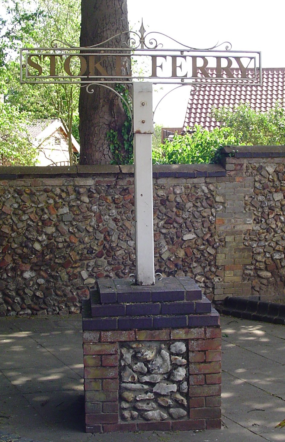
Stoke Ferry
Stoke Ferry is a village and civil parish in the English county of Norfolk, 6.5 miles southeast of Downham Market. The village lies on the River Wissey...
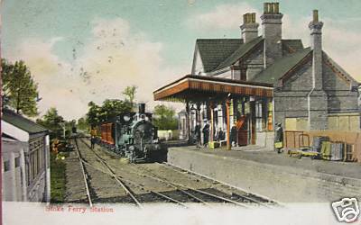
Stoke Ferry railway station
Stoke Ferry is a closed railway station in Norfolk. It was the terminus of a 7¼ mile branch line from Denver which opened on 1 August 1882 and finally...

Abbey and West Dereham railway station
Abbey and West Dereham railway station was a railway station on the line between Downham Market and Stoke Ferry. It served the village of West Dereham...
Have you been to Duckpond Wood?
Leave your review of Duckpond Wood below (or comments, questions and feedback).