Astrop
Settlement in Northamptonshire
England
Astrop
Astrop is a small village located in the district of South Northamptonshire, in the county of Northamptonshire, England. Situated about 5 miles northeast of the town of Brackley, Astrop is a rural settlement with a population of around 250 residents.
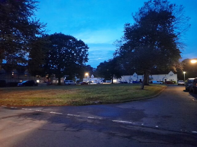
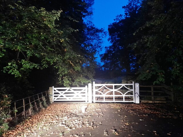
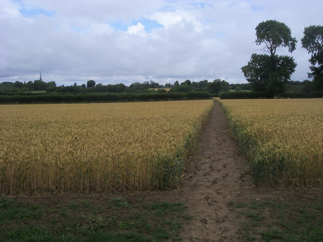
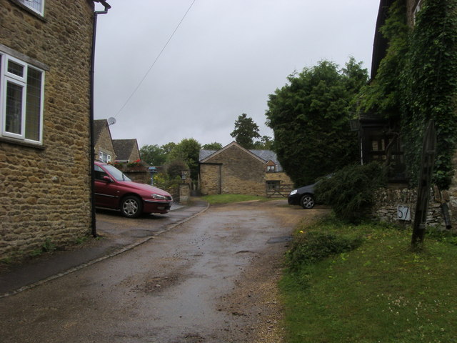
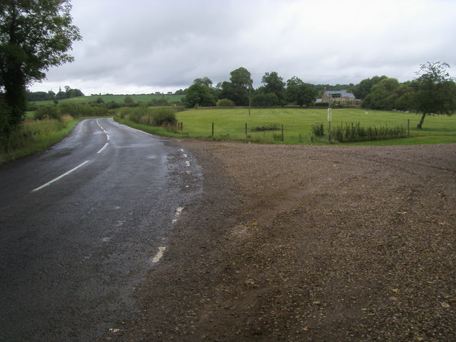
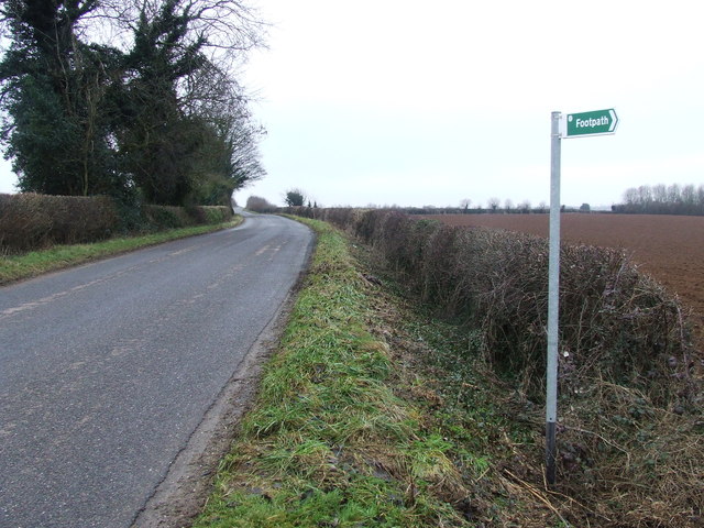
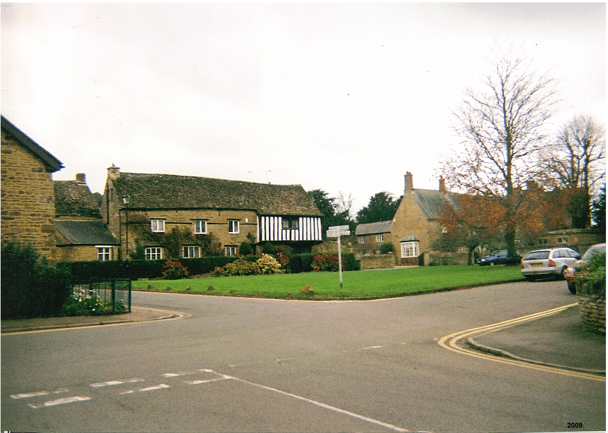
The village is known for its picturesque countryside and charming rural atmosphere. It is surrounded by rolling fields, meadows, and woodlands, making it an ideal location for nature enthusiasts and those seeking a peaceful retreat. The landscape is dotted with traditional stone cottages, giving the village a quintessential English countryside feel.
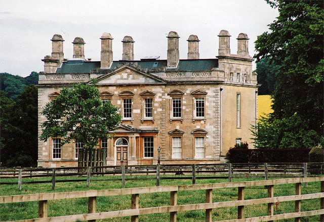
Astrop is home to the Grade I listed Astrop House, a grand mansion built in the mid-17th century. The house boasts elegant architecture and is set within stunning landscaped gardens. It has a rich history and has been associated with various notable figures throughout the years.
Although it is a small village, Astrop benefits from its proximity to nearby towns and amenities. The town of Brackley provides residents with essential services, including schools, shops, and healthcare facilities. Additionally, the village is well-connected to major road networks, allowing for easy access to neighboring towns and cities.
Astrop offers a tranquil and idyllic setting for those seeking a quiet rural lifestyle. It is a place where residents can enjoy the beauty of the countryside while still being within reach of urban conveniences.
If you have any feedback on the listing, please let us know in the comments section below.
Astrop Images
Images are sourced within 2km of 52.022692/-1.264571 or Grid Reference SP5036. Thanks to Geograph Open Source API. All images are credited.


Astrop is located at Grid Ref: SP5036 (Lat: 52.022692, Lng: -1.264571)
Unitary Authority: West Northamptonshire
Police Authority: Northamptonshire
What 3 Words
///flickers.trend.dynamics. Near Kings Sutton, Northamptonshire
Nearby Locations
Related Wikis
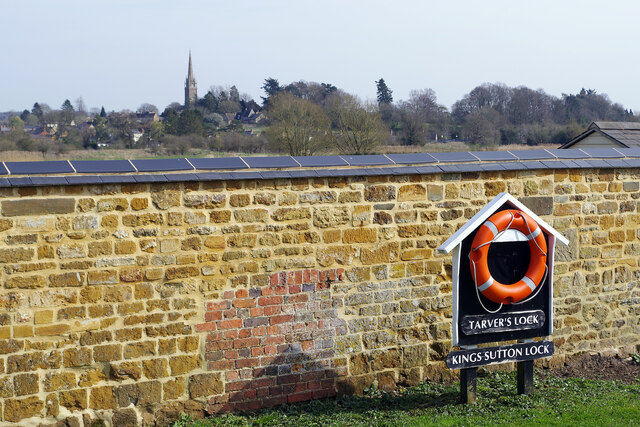
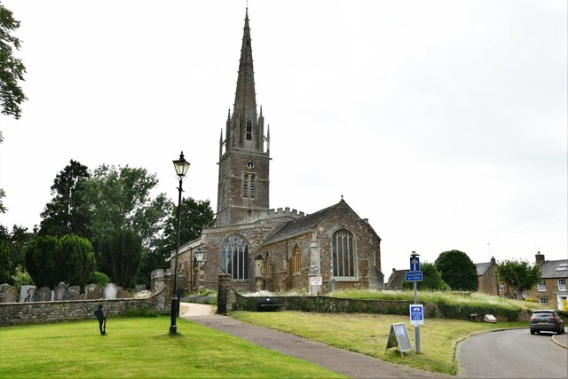
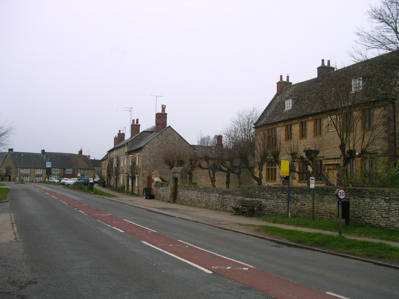
King's Sutton
King's Sutton is a village and civil parish in West Northamptonshire, Northamptonshire, England in the valley of the River Cherwell. The village is about...
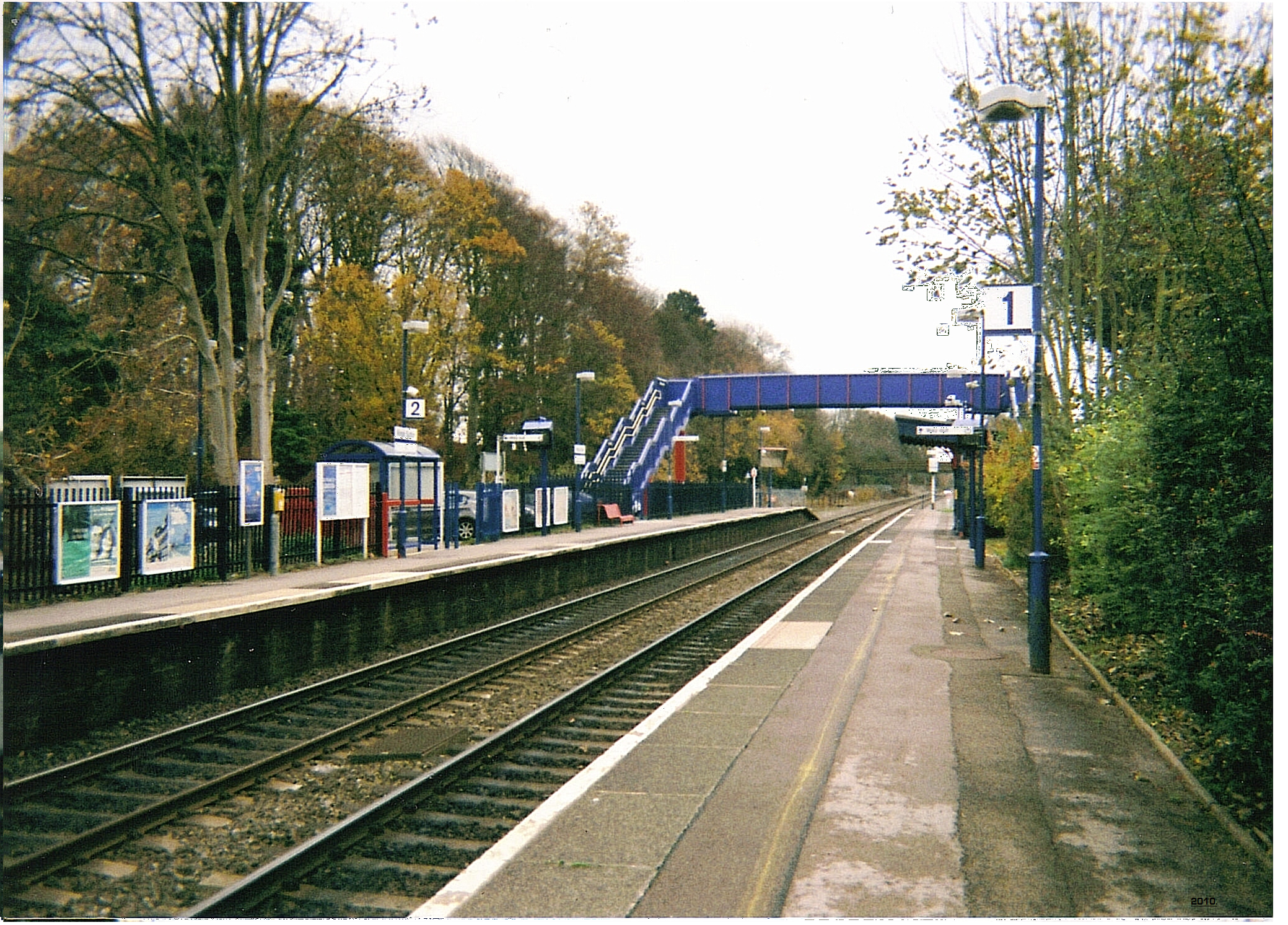
Kings Sutton railway station
Kings Sutton railway station serves the village of King's Sutton in Northamptonshire, England. It is also one of the nearest railway stations to the town...

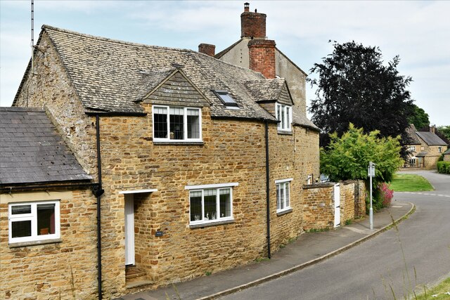
Newbottle, Northamptonshire
Newbottle is a civil parish and largely deserted village in West Northamptonshire, about 4 miles (6.4 km) west of the market town of Brackley. It is close...

Charlton, Northamptonshire
Charlton is a village in the parish of Newbottle, Northamptonshire, England in between Brackley and Kings Sutton, lying close to a small tributary of the...

The Cottage, Charlton, Northamptonshire
The Cottage, Charlton, Northamptonshire, England is a house of 18th century origins. In 1907 it was bought by F. E. Smith, 1st Earl of Birkenhead as his...

Rainsborough Camp
Rainsborough Camp is an Iron Age hillfort in West Northamptonshire, England, between the villages of Croughton, Aynho, and Charlton. == Location and... ==
Aynho
Aynho (, formerly spelt Aynhoe) is a village and civil parish in West Northamptonshire, England, on the edge of the Cherwell valley 6 miles (9.7 km) south...

Sor Brook
The Sor Brook is a brook located mostly in Oxfordshire, in the South of England.From its source at Edge Hill in Warwickshire, it flows to the west of Banbury...
Nearby Amenities
Located within 500m of 52.022692,-1.264571Have you been to Astrop?
Leave your review of Astrop below (or comments, questions and feedback).