Kings Sutton
Civil Parish in Northamptonshire
England
Kings Sutton
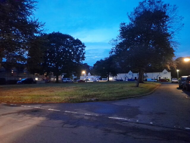
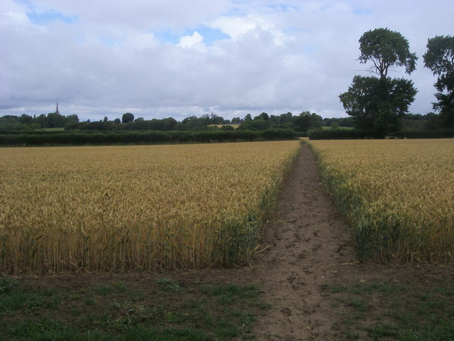
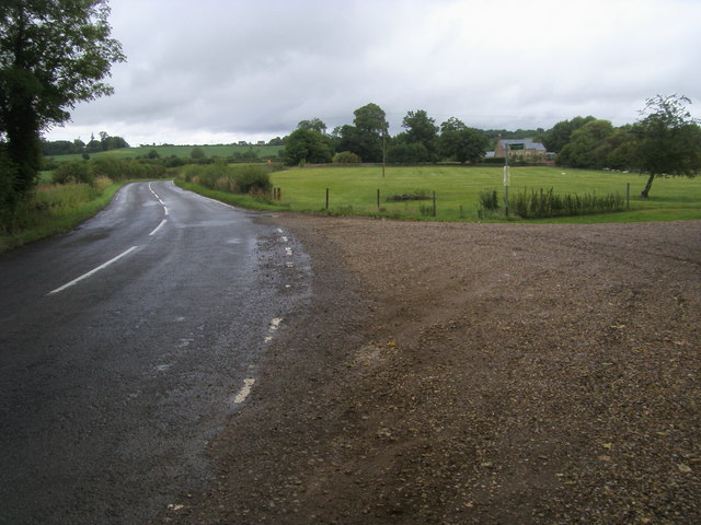
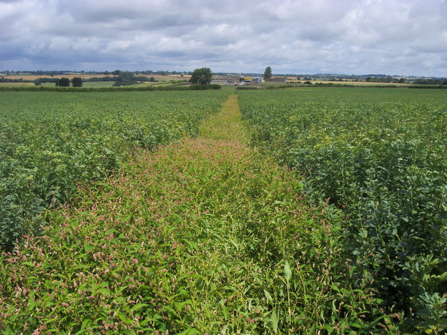
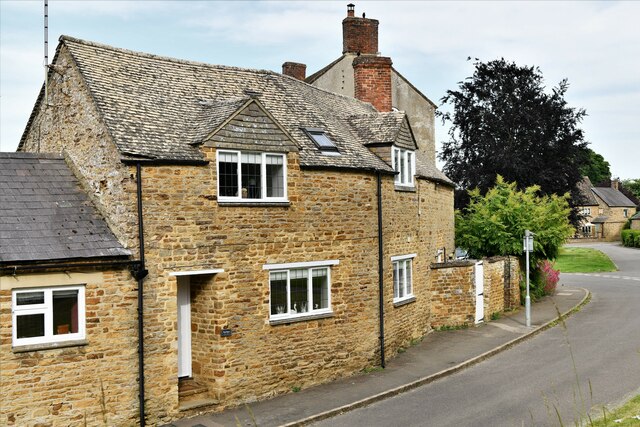
Kings Sutton is a civil parish located in the county of Northamptonshire, England. Situated in the Cherwell Valley, it lies approximately 4 miles southwest of the town of Banbury. The village is nestled amidst picturesque countryside, with rolling hills and farmland surrounding it.
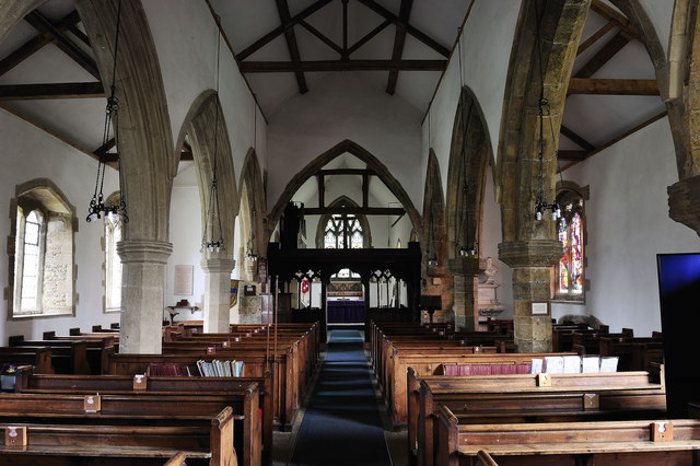
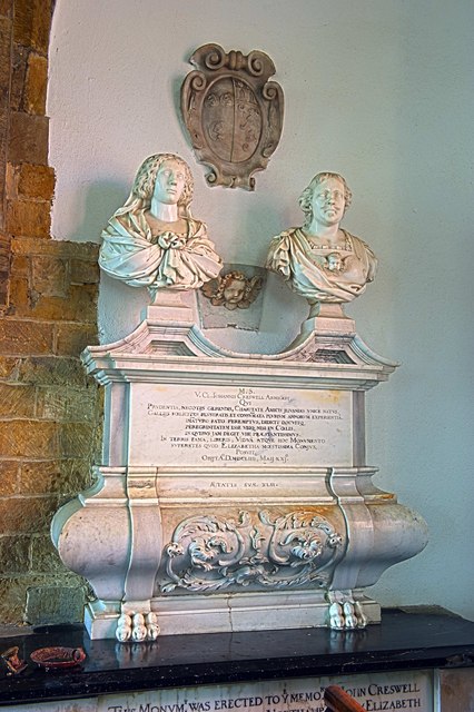
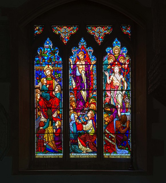
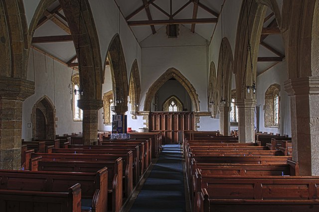
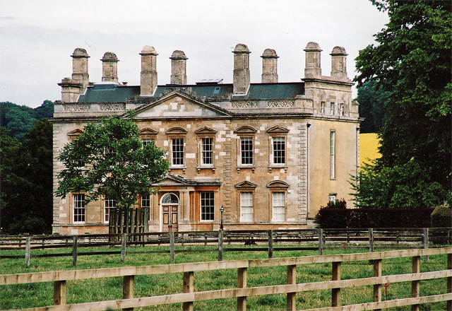
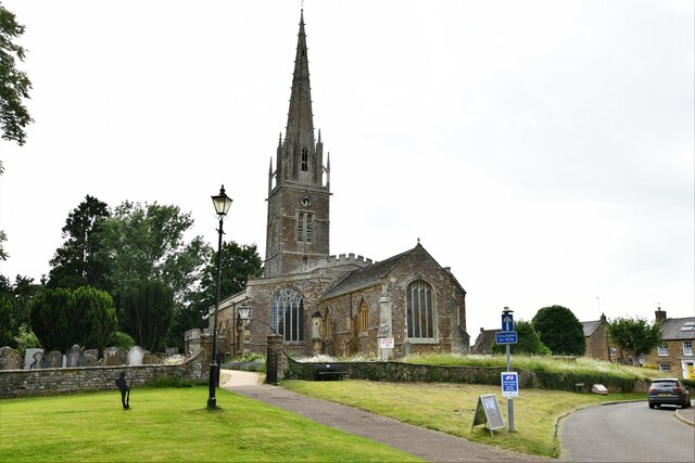
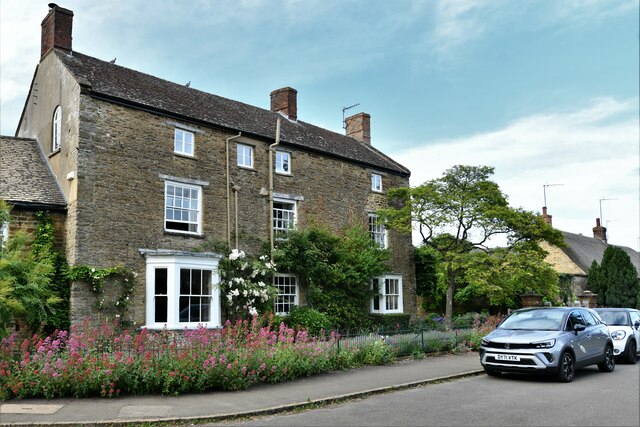
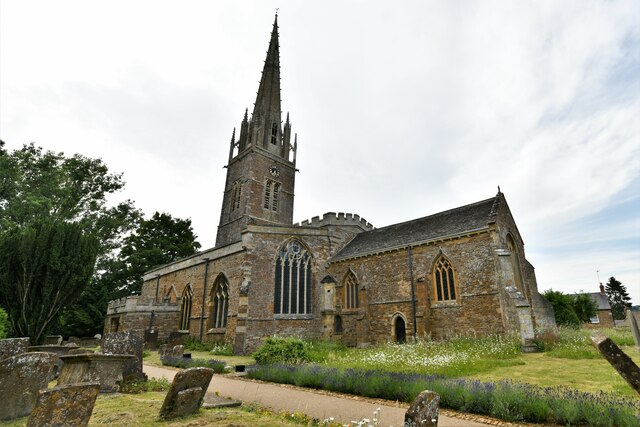
With a population of around 2,000 residents, Kings Sutton offers a peaceful and close-knit community. The village has a rich history, dating back to the medieval period. It is mentioned in the Domesday Book of 1086, and remnants of its past can still be seen today, including the historic St. Peter and St. Paul Church, which dates back to the 12th century.
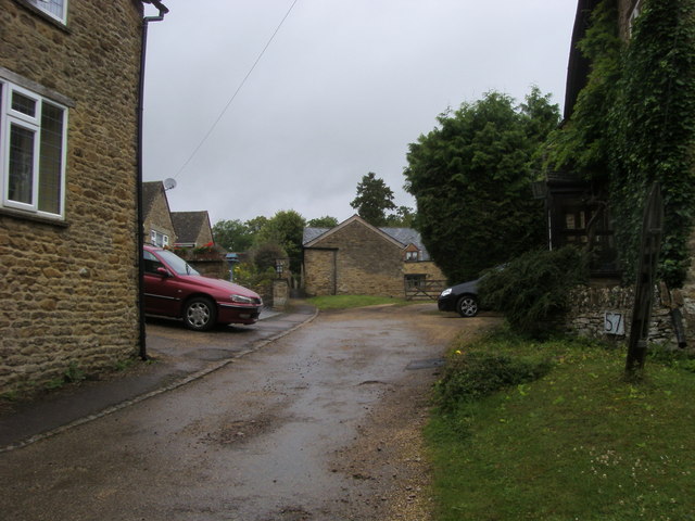
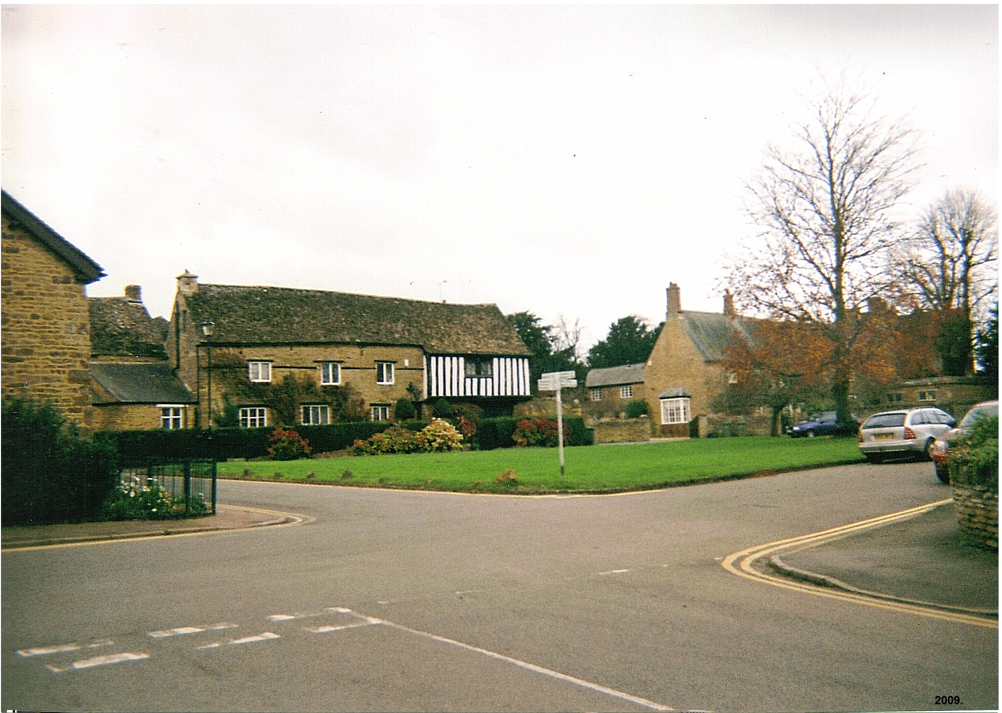
The village boasts a variety of amenities and facilities to cater to the needs of its residents. These include a primary school, a village hall, a post office, and a local convenience store. There are also several pubs and restaurants, providing a range of dining options for locals and visitors alike.
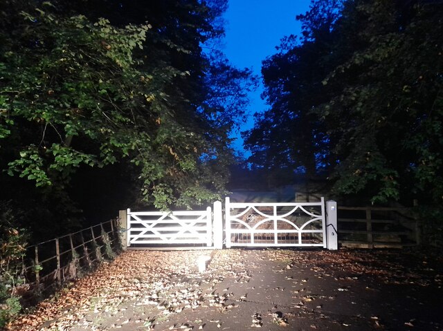
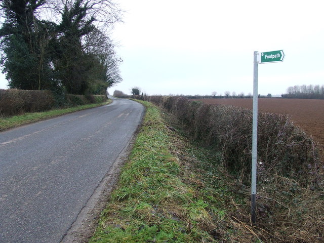
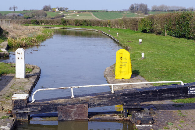
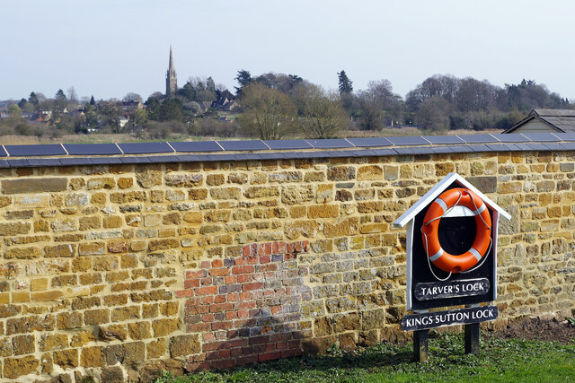
For outdoor enthusiasts, Kings Sutton offers numerous opportunities for leisure and recreation. The countryside surrounding the village provides scenic walking and cycling routes, allowing residents to enjoy the beauty of the area. Additionally, the village is located near the Oxford Canal, offering the possibility of boating and fishing activities.
Kings Sutton benefits from excellent transport links, with a train station providing regular services to London and Birmingham. The village is also conveniently located near major road networks, making it easily accessible by car.
Overall, Kings Sutton is a charming and historic village, offering a tranquil setting and a strong sense of community for its residents.
If you have any feedback on the listing, please let us know in the comments section below.
Kings Sutton Images
Images are sourced within 2km of 52.028407/-1.264069 or Grid Reference SP5036. Thanks to Geograph Open Source API. All images are credited.
Kings Sutton is located at Grid Ref: SP5036 (Lat: 52.028407, Lng: -1.264069)
Unitary Authority: West Northamptonshire
Police Authority: Northamptonshire
What 3 Words
///speaking.digested.blink. Near Kings Sutton, Northamptonshire
Nearby Locations
Related Wikis
King's Sutton
King's Sutton is a village and civil parish in West Northamptonshire, Northamptonshire, England in the valley of the River Cherwell. The village is about...
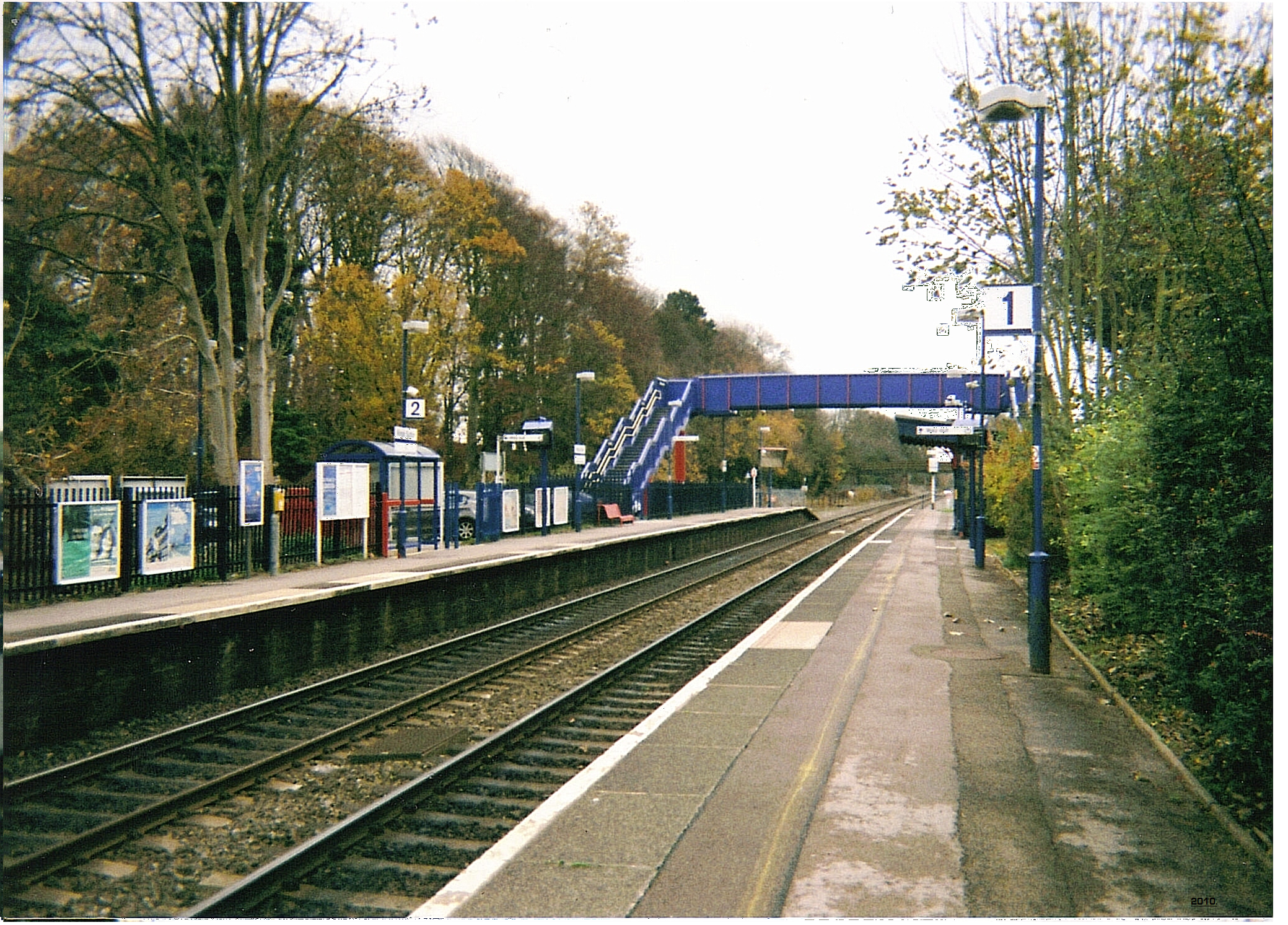
Kings Sutton railway station
Kings Sutton railway station serves the village of King's Sutton in Northamptonshire, England. It is also one of the nearest railway stations to the town...

Newbottle, Northamptonshire
Newbottle is a civil parish and largely deserted village in West Northamptonshire, about 4 miles (6.4 km) west of the market town of Brackley. It is close...

Charlton, Northamptonshire
Charlton is a village in the parish of Newbottle, Northamptonshire, England in between Brackley and Kings Sutton, lying close to a small tributary of the...

The Cottage, Charlton, Northamptonshire
The Cottage, Charlton, Northamptonshire, England is a house of 18th century origins. In 1907 it was bought by F. E. Smith, 1st Earl of Birkenhead as his...
Blessed George Napier Catholic School
Blessed George Napier Catholic School, known locally as BGN, is a Catholic secondary school and sixth form with academy status. It is located on Addison...

Rainsborough Camp
Rainsborough Camp is an Iron Age hillfort in West Northamptonshire, England, between the villages of Croughton, Aynho, and Charlton. == Location and... ==

Adderbury Lakes
Adderbury Lakes is a 1.8-hectare (4.4-acre) Local Nature Reserve in Adderbury in Oxfordshire. It is owned and managed by Adderbury Parish Council.The...
Nearby Amenities
Located within 500m of 52.028407,-1.264069Have you been to Kings Sutton?
Leave your review of Kings Sutton below (or comments, questions and feedback).