Allotment Plantation
Wood, Forest in Norfolk King's Lynn and West Norfolk
England
Allotment Plantation
Allotment Plantation, located in Norfolk, England, is a beautiful woodland area that spans over acres of land. This idyllic plantation is characterized by its dense growth of various tree species, creating a thriving forest ecosystem.
The wood is primarily composed of native tree species, including oak, birch, and beech, which have been growing here for many decades. These trees provide a haven for a diverse range of wildlife, making Allotment Plantation a popular destination for nature enthusiasts and bird watchers. The forest floor is adorned with a rich carpet of ferns, wildflowers, and mosses, creating a picturesque landscape.
The plantation is incredibly well-maintained by local authorities, ensuring that it remains a safe and accessible place for visitors. A network of well-marked trails crisscrosses the woodland, allowing visitors to explore the area at their own pace. These paths lead to several hidden gems within the plantation, including a tranquil pond and a small stream, adding to the enchanting atmosphere of the forest.
Allotment Plantation offers a serene and peaceful retreat from the hustle and bustle of everyday life. With its towering trees, chirping birds, and the soothing sound of rustling leaves, it is a place where visitors can reconnect with nature and find solace. The plantation also serves as an educational resource, with interpretive signs offering information about the local flora and fauna, as well as the importance of woodland conservation.
In conclusion, Allotment Plantation in Norfolk is a remarkable woodland area that showcases the beauty and diversity of nature. With its lush vegetation, well-maintained trails, and abundant wildlife, it is a must-visit destination for those seeking a peaceful retreat in the heart of nature.
If you have any feedback on the listing, please let us know in the comments section below.
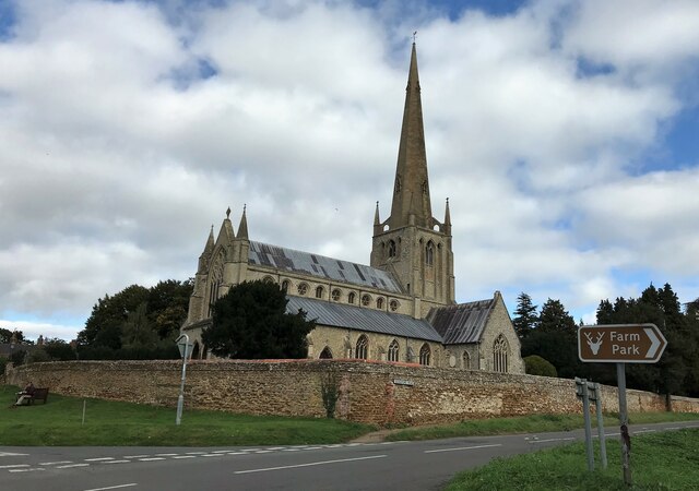
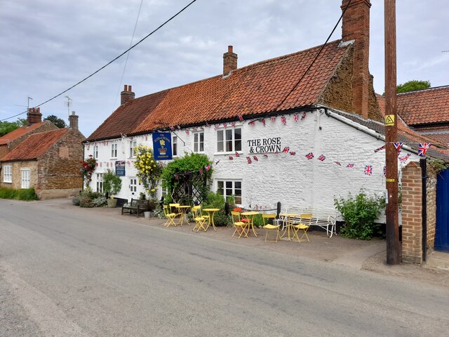
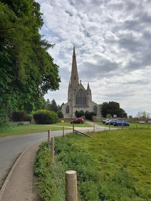
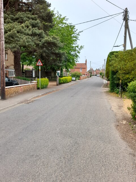
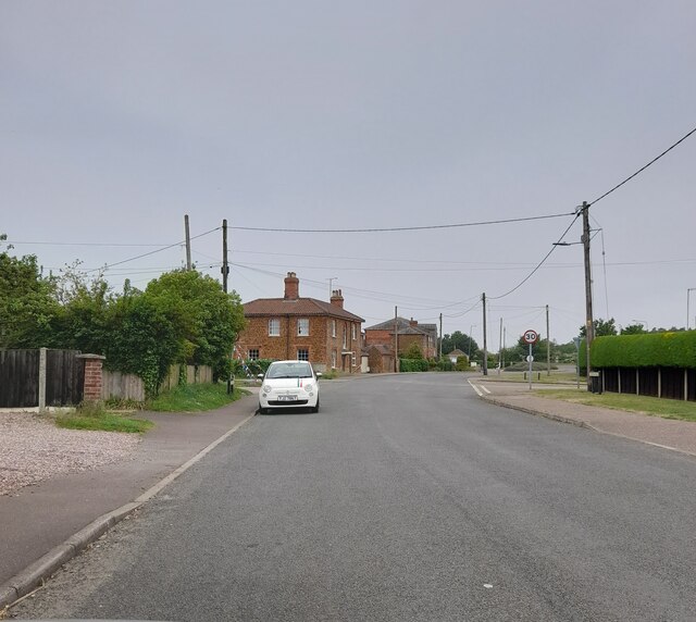
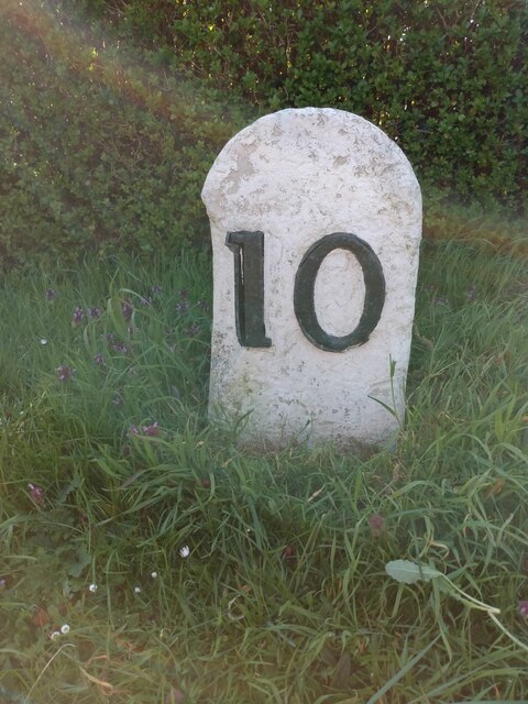
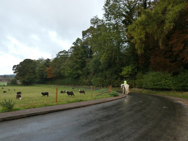
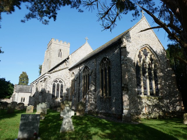
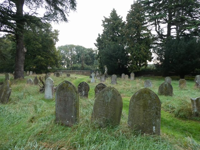
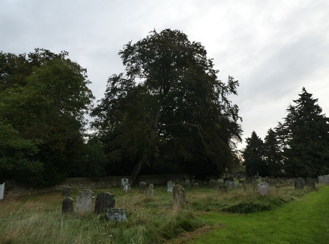
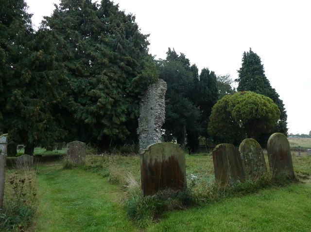
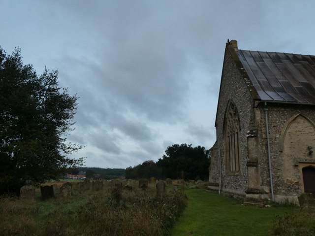
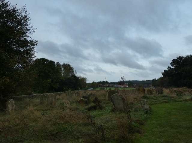
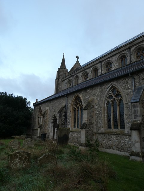
Allotment Plantation Images
Images are sourced within 2km of 52.875224/0.48528839 or Grid Reference TF6733. Thanks to Geograph Open Source API. All images are credited.

Allotment Plantation is located at Grid Ref: TF6733 (Lat: 52.875224, Lng: 0.48528839)
Administrative County: Norfolk
District: King's Lynn and West Norfolk
Police Authority: Norfolk
What 3 Words
///decoder.envoy.gloves. Near Snettisham, Norfolk
Nearby Locations
Related Wikis

Snettisham railway station
Snettisham was a railway station on the King's Lynn to Hunstanton line which served the village of Snettisham, a few miles north of King's Lynn in North...
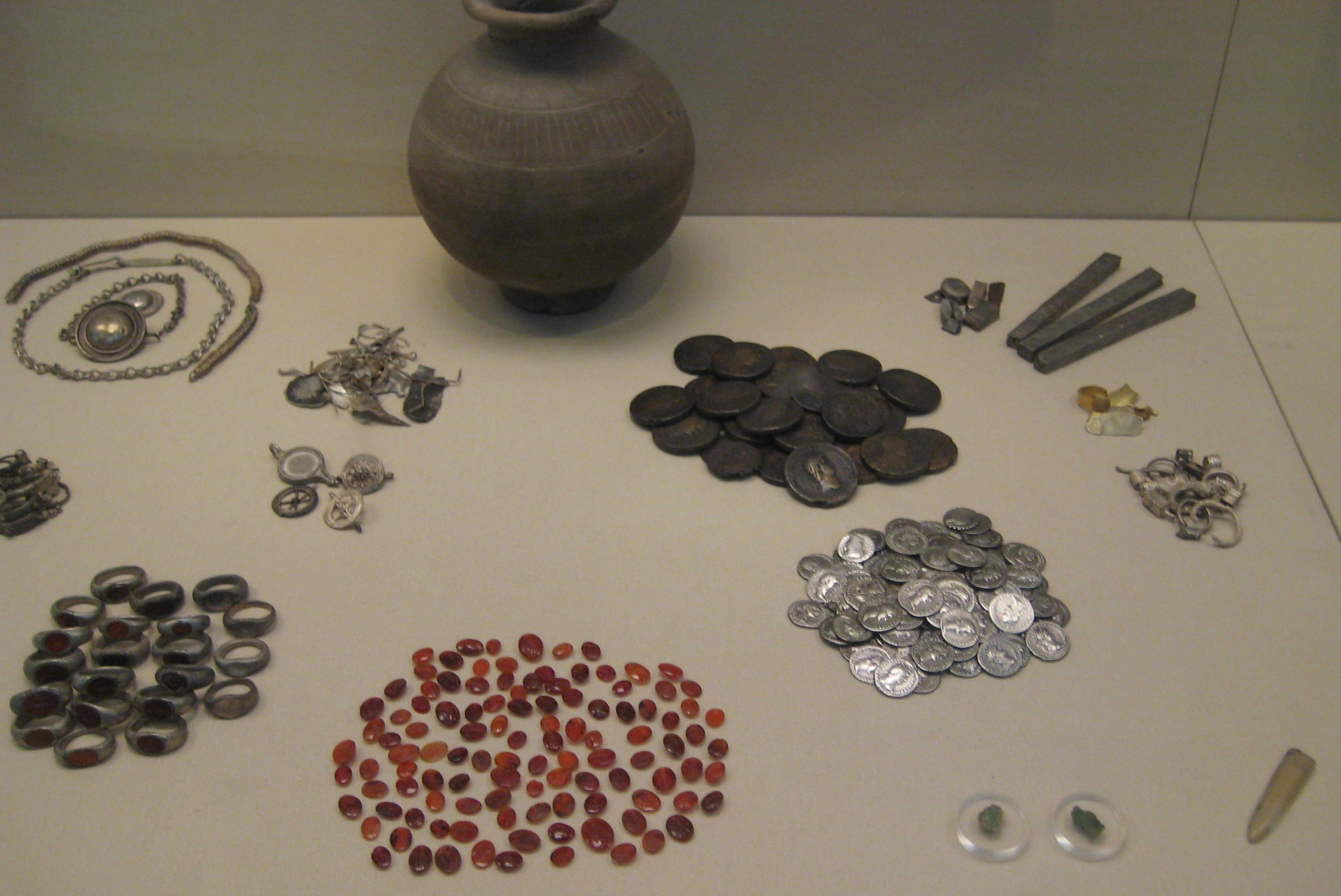
Snettisham Jeweller's Hoard
The Snettisham Jeweller's Hoard is a collection of Romano-British jewellery and raw materials, found during the construction of a house in the Norfolk...
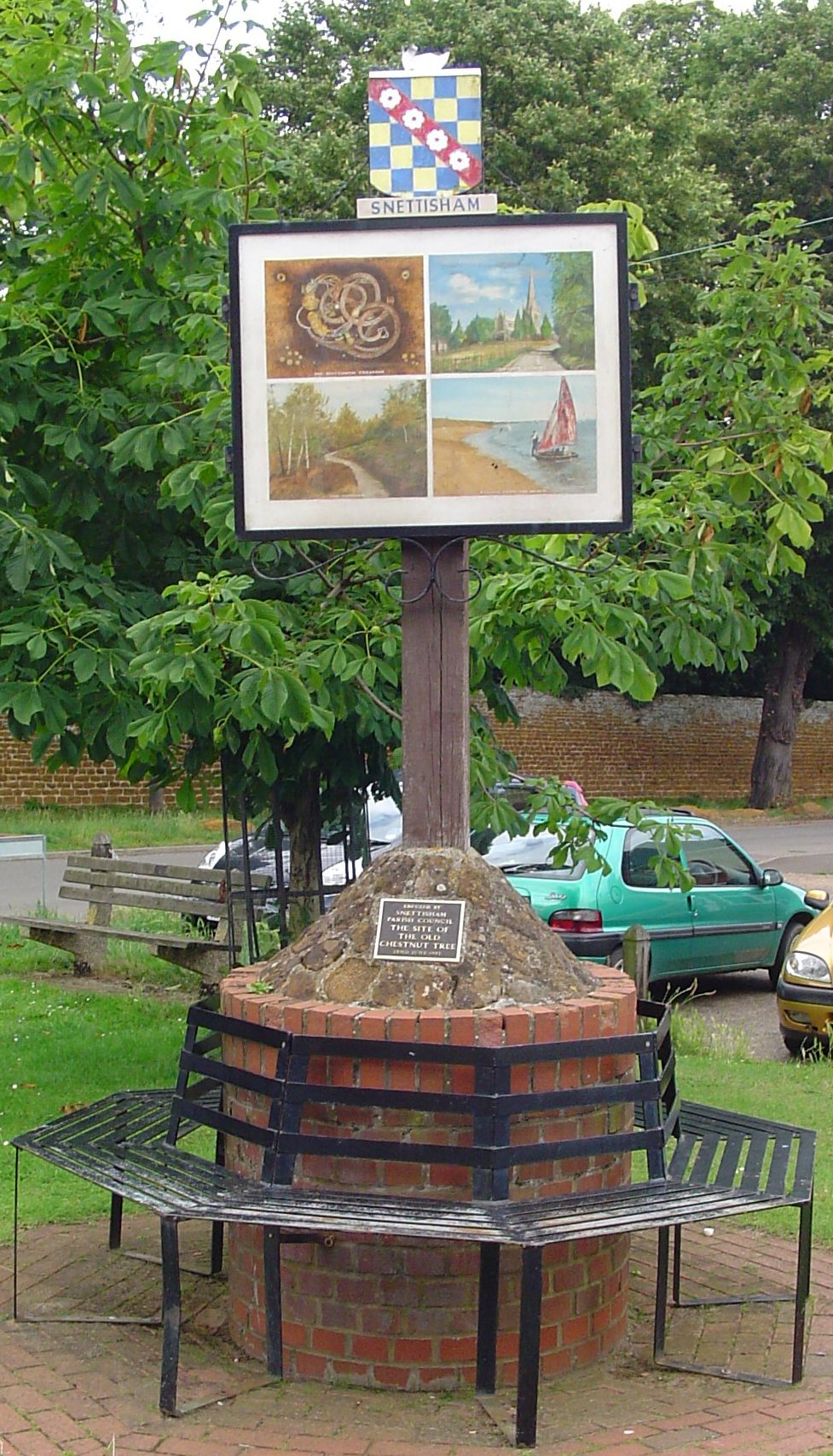
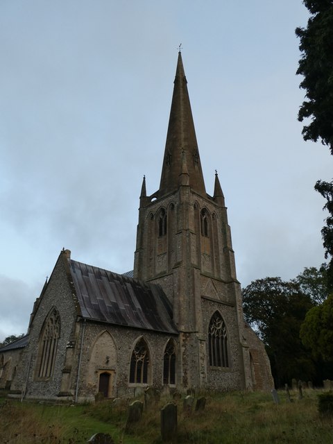
Snettisham
Snettisham is a village and civil parish in the English county of Norfolk. It is located near the west coast of Norfolk, some 5 miles (8.0 km) south of...
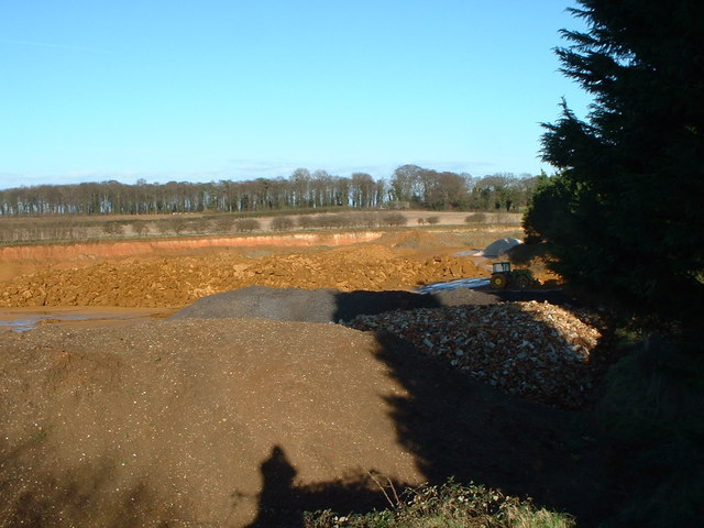
Snettisham Carstone Quarry
Snettisham Carstone Quarry is an 11-hectare (27-acre) biological Site of Special Scientific Interest north of King's Lynn in Norfolk. It is in the Norfolk...
Nearby Amenities
Located within 500m of 52.875224,0.48528839Have you been to Allotment Plantation?
Leave your review of Allotment Plantation below (or comments, questions and feedback).