Osier Holt
Wood, Forest in Norfolk King's Lynn and West Norfolk
England
Osier Holt

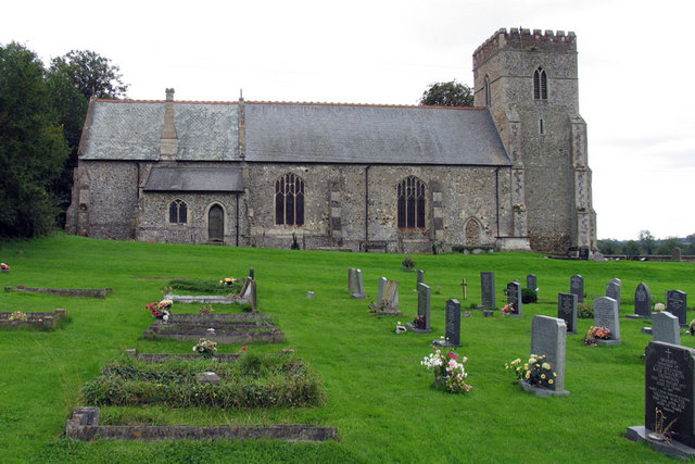
Osier Holt is a small village located in the county of Norfolk, England. Situated in the eastern part of the country, it is surrounded by picturesque landscapes and lush greenery, earning it the nickname "Wood" or "Forest" among locals. The village is known for its tranquil atmosphere and close-knit community.
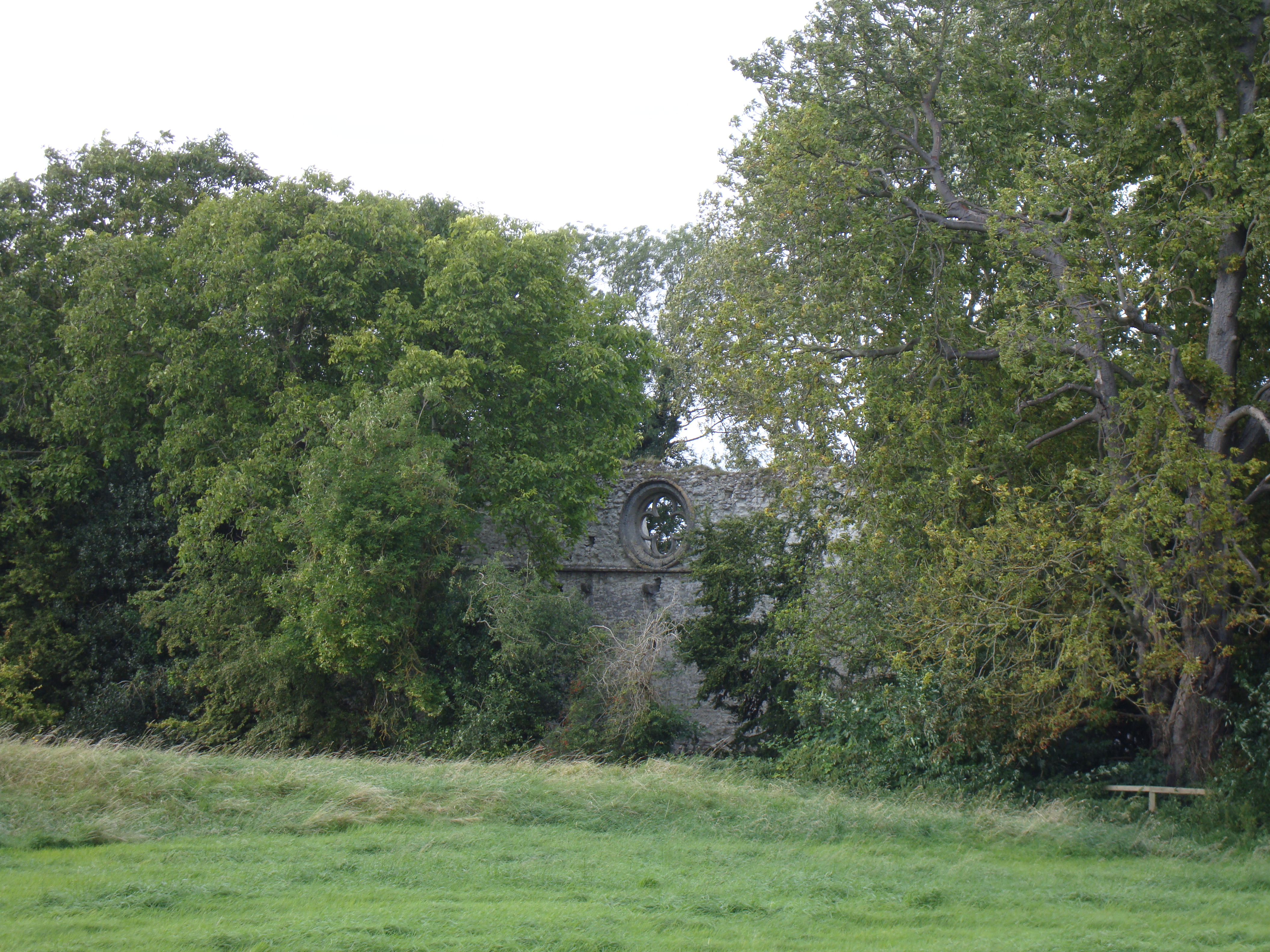
The origins of Osier Holt can be traced back to medieval times, with historical records dating back several centuries. The village is characterized by its charming thatched-roof cottages and traditional architecture, which adds to its rustic charm. The surrounding woodlands and forests provide a beautiful backdrop and offer opportunities for outdoor activities such as hiking, cycling, and nature walks.
Despite its small size, Osier Holt boasts a range of amenities for its residents. These include a village hall, a local church, and a small but well-stocked village shop. The village also has its own primary school, providing education for the local children.
The community of Osier Holt is known for its strong sense of camaraderie and involvement in local events and activities. The village hosts an annual summer fair, which brings together residents and visitors for a day of fun and entertainment. Additionally, various clubs and societies cater to different interests, fostering a sense of community spirit.
In conclusion, Osier Holt in Norfolk is a charming village nestled amidst woodlands and forests. With its rich history, beautiful landscapes, and vibrant community, it offers a peaceful and picturesque living environment for its residents.
If you have any feedback on the listing, please let us know in the comments section below.
Osier Holt Images
Images are sourced within 2km of 52.647597/0.47237234 or Grid Reference TF6708. Thanks to Geograph Open Source API. All images are credited.


Osier Holt is located at Grid Ref: TF6708 (Lat: 52.647597, Lng: 0.47237234)
Administrative County: Norfolk
District: King's Lynn and West Norfolk
Police Authority: Norfolk
What 3 Words
///feared.agrees.recruiter. Near Downham Market, Norfolk
Nearby Locations
Related Wikis
Shouldham
Shouldham is a village and civil parish in the English county of Norfolk. It covers an area of 16.04 km2 (6.19 sq mi) and had a population of 608 in 246...

Shouldham Thorpe
Shouldham Thorpe is a village and civil parish in the English county of Norfolk. It covers an area of 5.87 km2 (2.27 sq mi) and had a population of 157...

Fincham
Fincham is a village and civil parish the English county of Norfolk. The village is located 9.4 miles (15.1 km) south of King's Lynn and 34 miles (55 km...

Stradsett
Stradsett is a village and civil parish in the English county of Norfolk The village is 40.8 miles (65.7 km) west of Norwich, 11.3 miles (18.2 km) south...

Wormegay
Wormegay is a civil parish in the English county of Norfolk. The village is situated some 9 kilometres (5.6 miles) south of King's Lynn and 60 km (37 mi...
Marham Abbey
Marham Abbey was situated in the village of Marham, southeast of King's Lynn, Norfolk, England. It was founded by Isabel, Countess of Arundel, in 1249...

Wormegay Castle
Wormegay Castle is a motte and bailey earthwork, located next to the village of Wormegay in the English county of Norfolk. == Details == The castle was...

Marham
Marham is a village and civil parish in the English county of Norfolk, approximate 12 miles (19 km) away from King's Lynn. An RAF station, RAF Marham,...
Nearby Amenities
Located within 500m of 52.647597,0.47237234Have you been to Osier Holt?
Leave your review of Osier Holt below (or comments, questions and feedback).