Catton's Plantation

Wood, Forest in Norfolk King's Lynn and West Norfolk

England

Catton's Plantation

Path through wheat field Well instated through the crop.
Path through wheat field Credit: Hugh Venables

Catton's Plantation is a beautiful woodland located in Norfolk, England. Covering an area of approximately 100 acres, it is a prominent destination for nature enthusiasts and outdoor lovers. The plantation is nestled within the larger Catton Park estate, surrounded by rolling hills and offering stunning views of the Norfolk countryside.

The woodland is primarily composed of a variety of tree species, including oak, beech, and pine, creating a diverse and vibrant ecosystem. The dense vegetation provides a natural habitat for numerous wildlife species, such as birds, squirrels, and deer, making it a popular spot for birdwatching and wildlife observation.

Catton's Plantation offers a network of well-maintained trails, allowing visitors to explore the woodland at their own pace. The paths wind through the trees, leading to hidden clearings and tranquil spots where visitors can relax and enjoy the peaceful ambiance. Nature lovers can also participate in organized guided walks and educational programs organized by the estate.

In addition to its natural beauty, Catton's Plantation has historical significance. It was originally part of the Catton Hall estate, dating back to the 17th century. The woodland has witnessed the passage of time and has remained relatively unchanged, preserving its historical charm.

Overall, Catton's Plantation is a captivating destination where visitors can immerse themselves in the beauty of nature, explore diverse ecosystems, and appreciate the rich history of the Norfolk countryside.

If you have any feedback on the listing, please let us know in the comments section below.

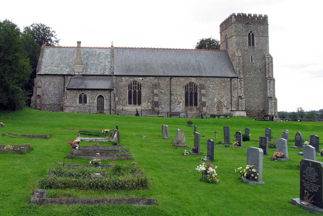
Catton's Plantation Images

Images are sourced within 2km of 52.648057/0.48091394 or Grid Reference TF6708. Thanks to Geograph Open Source API. All images are credited.

Path through wheat field Well instated through the crop.
Path through wheat field
Well instated through the crop.
Wheat field by Hillside Farm
Footpath from Fincham Well instated through a large wheat field.
Footpath from Fincham
Well instated through a large wheat field.
Footpath and outdoor pigs Not clear that going any further was a good idea. There is an easy option around the edge of the field.
Footpath and outdoor pigs
Not clear that going any further was a good idea. There is an easy option around the edge of the field.
Outdoor pigs on a stubble field
Track to Heath Farm
Track to Heath Farm
Fen Drove
Fen Drove
Norwich Road
Norwich Road
Bowl Wood Farm
Bowl Wood Farm
Cunnington's Barn
Cunnington's Barn
Bowl Wood
Bowl Wood
Shouldham Bowls & Social Club
Shouldham Bowls Club
Fairstead Drove Footpath to Shouldham
Fairstead Drove
Footpath to Shouldham
Fair Stead, Shouldham
Cottage by Fairstead Drove
Rhododendron in Ramm's Plantation
Mill Drove
Mill Drove
Show me another place!

Catton's Plantation is located at Grid Ref: TF6708 (Lat: 52.648057, Lng: 0.48091394)

Administrative County: Norfolk

District: King's Lynn and West Norfolk

Police Authority: Norfolk

What 3 Words

///fever.atlas.fells. Near Narborough, Norfolk

Related Wikis

Shouldham

Shouldham is a village and civil parish in the English county of Norfolk. It covers an area of 16.04 km2 (6.19 sq mi) and had a population of 608 in 246...

Shouldham Thorpe

Shouldham Thorpe is a village and civil parish in the English county of Norfolk. It covers an area of 5.87 km2 (2.27 sq mi) and had a population of 157...

Fincham

Fincham is a village and civil parish in the English county of Norfolk. The village is located 9.4 miles (15.1 km) south of King's Lynn and 34 miles (55...
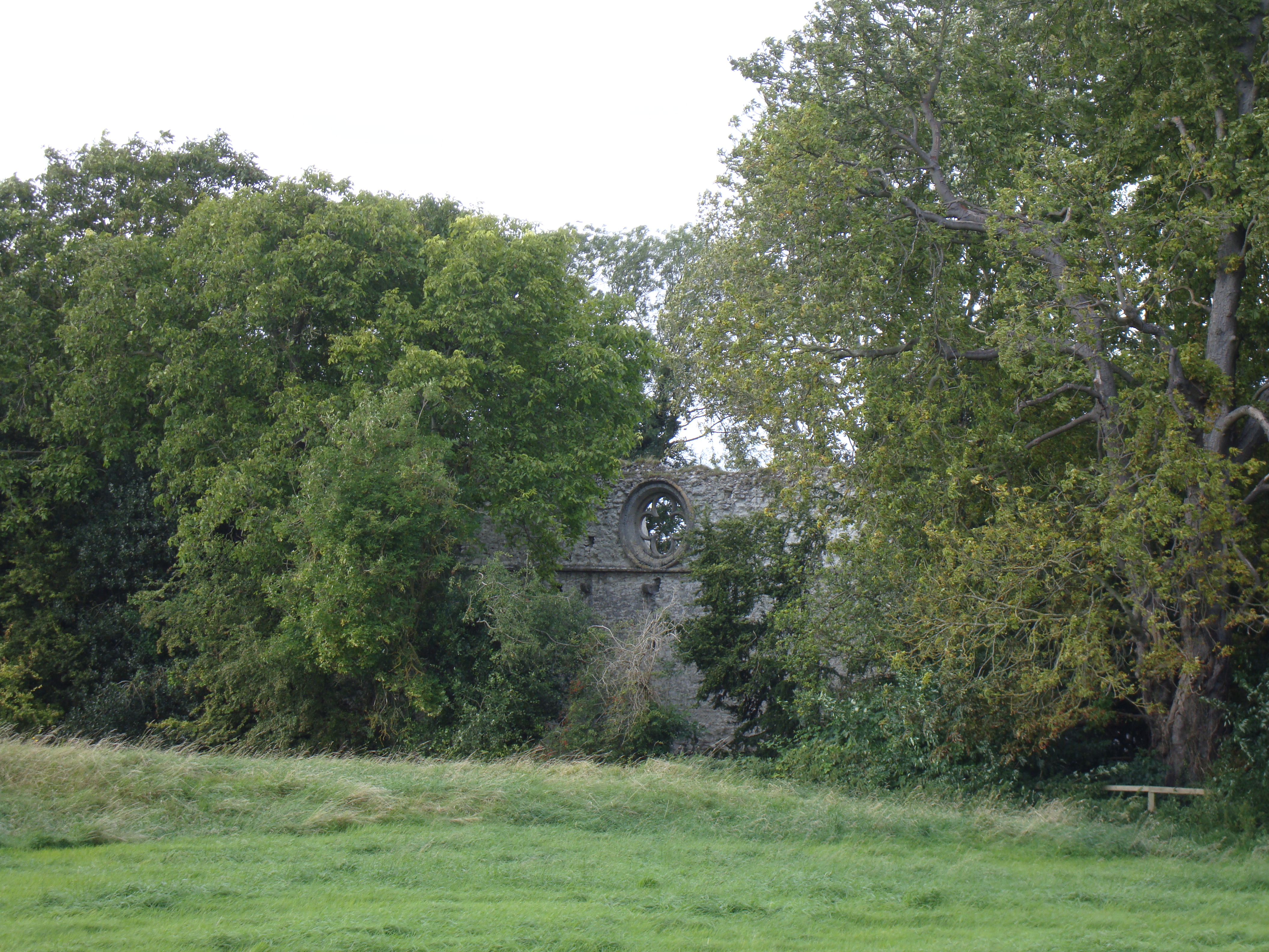
Marham Abbey

Marham Abbey was situated in the village of Marham, southeast of King's Lynn, Norfolk, England. It was founded by Isabel, Countess of Arundel, in 1249...

Nearby Amenities

Located within 500m of 52.648057,0.48091394
Bus Stop
Old School, adj
Naptan AtcoCode: 2900S202
Naptan Bearing: NE
Naptan BusStopType: CUS
Naptan CommonName: Old School
Naptan Indicator: adj
Naptan Landmark: Old School
Naptan Locality: Shouldham
Naptan NaptanCode: nfodtgpm
Naptan Street: Eastgate Street
Naptan Verified: no
Source: naptan_import
Lat/Long: 52.6522138/0.4795945
Bus Stop
Old School, opp
Naptan AtcoCode: 2900S203
Naptan Bearing: S
Naptan BusStopType: CUS
Naptan CommonName: Old School
Naptan Indicator: opp
Naptan Landmark: Wheelers School
Naptan Locality: Shouldham
Naptan NaptanCode: nfodtgpt
Naptan Street: Eastgate Street
Naptan Verified: no
Source: naptan_import
Lat/Long: 52.652106/0.4795884
Bus Stop
Kings Arms, opp
Naptan AtcoCode: 2900S206
Naptan Bearing: NE
Naptan BusStopType: CUS
Naptan CommonName: Kings Arms
Naptan Indicator: opp
Naptan Landmark: Kings Arms Public House
Naptan Locality: Shouldham
Naptan NaptanCode: nfodtgta
Naptan Street: Lynn Road
Naptan Verified: no
Source: naptan_import
Lat/Long: 52.6514097/0.4776269
Bus Stop
Kings Arms, adj
Naptan AtcoCode: 2900S207
Naptan Bearing: SW
Naptan BusStopType: CUS
Naptan CommonName: Kings Arms
Naptan Indicator: adj
Naptan Landmark: Kings Arms
Naptan Locality: Shouldham
Naptan NaptanCode: nfodtgtd
Naptan Street: Lynn Road
Naptan Verified: no
Source: naptan_import
Lat/Long: 52.6520283/0.4794362
Pub
Kings Arms
Addr City: King's Lynn
Addr Country: GB
Addr Housenumber: 28
Addr Postcode: PE33 0BY
Addr Street: The Green
Addr Suburb: Shouldham
Fhrs Id: 666881
Fixme: check location
Url: http://kingsarmsshouldham.co.uk/
Lat/Long: 52.6512942/0.4776575
Historic: memorial
Memorial: war_memorial
Lat/Long: 52.6516892/0.4836425
Disused Entrance: yes
Lat/Long: 52.6518325/0.4837403
Entrance: yes
Lat/Long: 52.6517861/0.4836144
Entrance: main
Lat/Long: 52.6517222/0.4837598
Shouldham
Man Made: village_sign
Material: wood
Lat/Long: 52.6514654/0.4790921
Bench
Backrest: yes
Colour: brown
Material: wood
Seats: 4
Lat/Long: 52.651437/0.4790895
Give Way
Lat/Long: 52.6514292/0.478902
Give Way
Lat/Long: 52.6513395/0.47902
Telephone
Booth: K6
Covered: booth
Listed Status: Grade II
Lat/Long: 52.6515225/0.4779917
Post Box
Operator: Royal Mail
Post Box Type: lamp
Lat/Long: 52.6515397/0.4779582
Historic: water_pump
Lat/Long: 52.6515134/0.4778732
Man Made: flagpole
Lat/Long: 52.6515948/0.4783396
Communication Mobile Phone: yes
Man Made: mast
Material: metal
Operator: O2-UK
Tower Construction: lattice
Tower Type: communication
Lat/Long: 52.6465181/0.4855422
The data included in this document is from www.openstreetmap.org. The data is made available under ODbL.

Have you been to Catton's Plantation?

Leave your review of Catton's Plantation below (or comments, questions and feedback).