Lodge Hill Plantation
Wood, Forest in Norfolk King's Lynn and West Norfolk
England
Lodge Hill Plantation
Lodge Hill Plantation is a picturesque woodland located in Norfolk, England. Covering an area of approximately 150 hectares, it is renowned for its stunning natural beauty and diverse range of flora and fauna.
The plantation is primarily composed of mixed woodland, with a variety of tree species including oak, beech, and birch. These trees create a dense canopy that provides shelter for a wide array of wildlife, including birds, mammals, and insects. The woodland floor is covered in a lush carpet of ferns, mosses, and wildflowers, adding to the enchanting atmosphere of the plantation.
Visitors to Lodge Hill Plantation can explore its numerous walking trails, which wind through the woodland and offer breathtaking views of the surrounding countryside. These trails are well-maintained and suitable for people of all ages and fitness levels. The plantation also features a picnic area, allowing visitors to relax and enjoy the peaceful ambiance of the forest.
In addition to its natural beauty, Lodge Hill Plantation has historical significance. The area was once part of a larger estate and is home to the remains of an old lodge, which gives the plantation its name. These historic remnants add a touch of charm and intrigue to the woodland, making it a popular destination for history enthusiasts.
Overall, Lodge Hill Plantation is a remarkable woodland that offers visitors a chance to escape the hustle and bustle of everyday life and immerse themselves in the tranquility of nature. Whether it's for a leisurely walk, a picnic, or a historical adventure, this Norfolk gem has something to offer everyone.
If you have any feedback on the listing, please let us know in the comments section below.
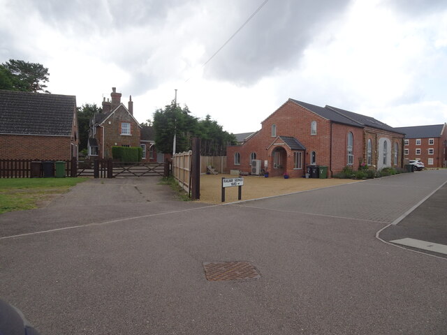
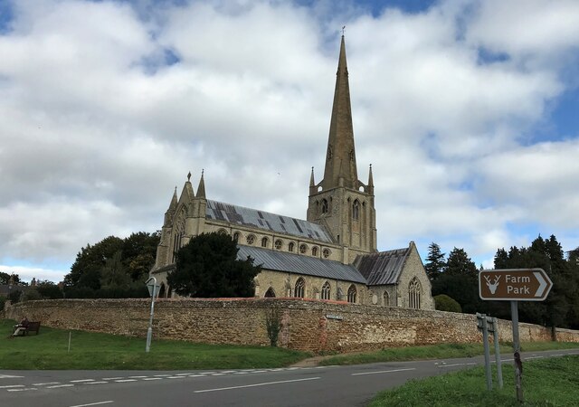
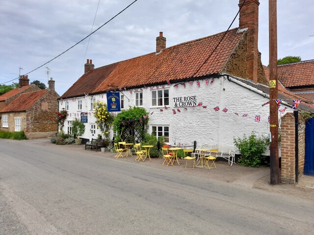
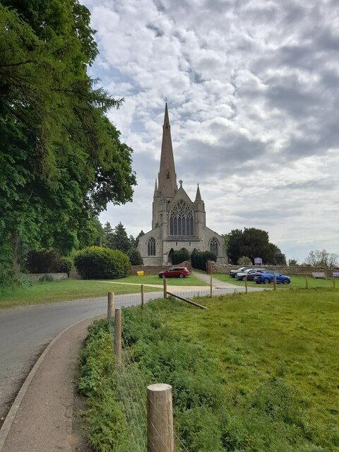
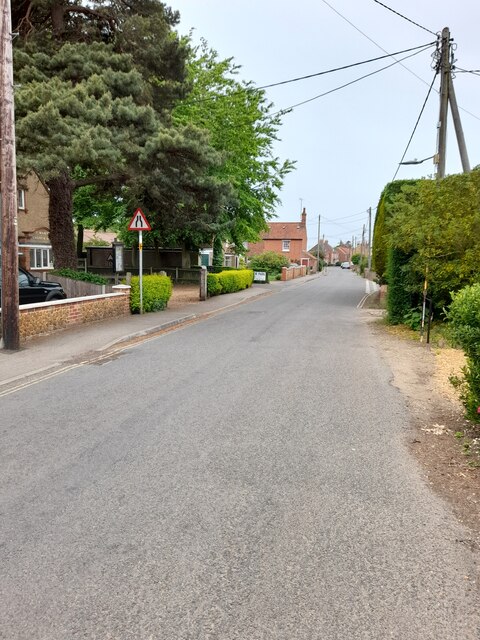
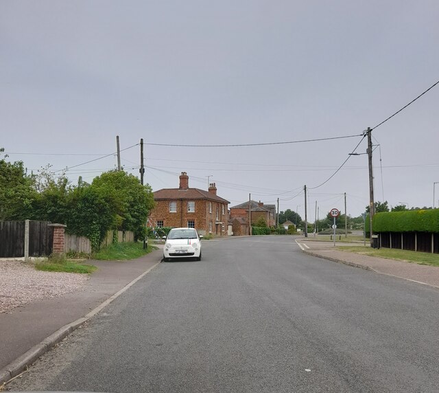
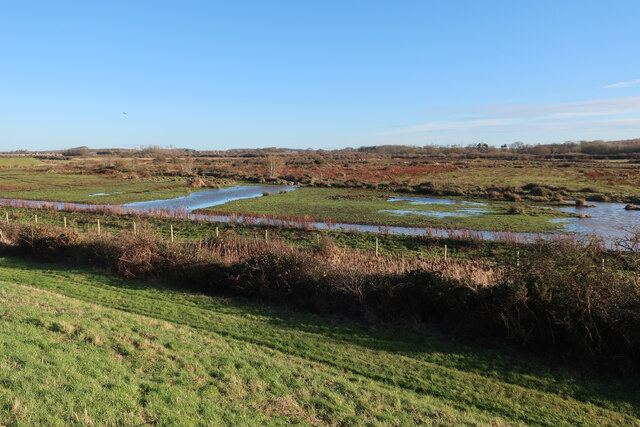
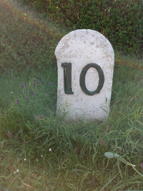
Lodge Hill Plantation Images
Images are sourced within 2km of 52.87737/0.48454915 or Grid Reference TF6733. Thanks to Geograph Open Source API. All images are credited.


Lodge Hill Plantation is located at Grid Ref: TF6733 (Lat: 52.87737, Lng: 0.48454915)
Administrative County: Norfolk
District: King's Lynn and West Norfolk
Police Authority: Norfolk
What 3 Words
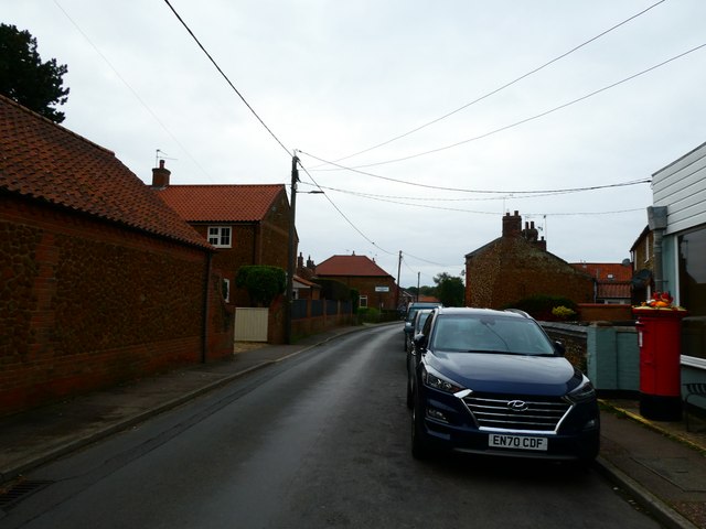
///vaulting.booklets.outdone. Near Snettisham, Norfolk
Nearby Locations
Related Wikis

Snettisham railway station
Snettisham was a railway station on the King's Lynn to Hunstanton line which served the village of Snettisham, a few miles north of King's Lynn in North...
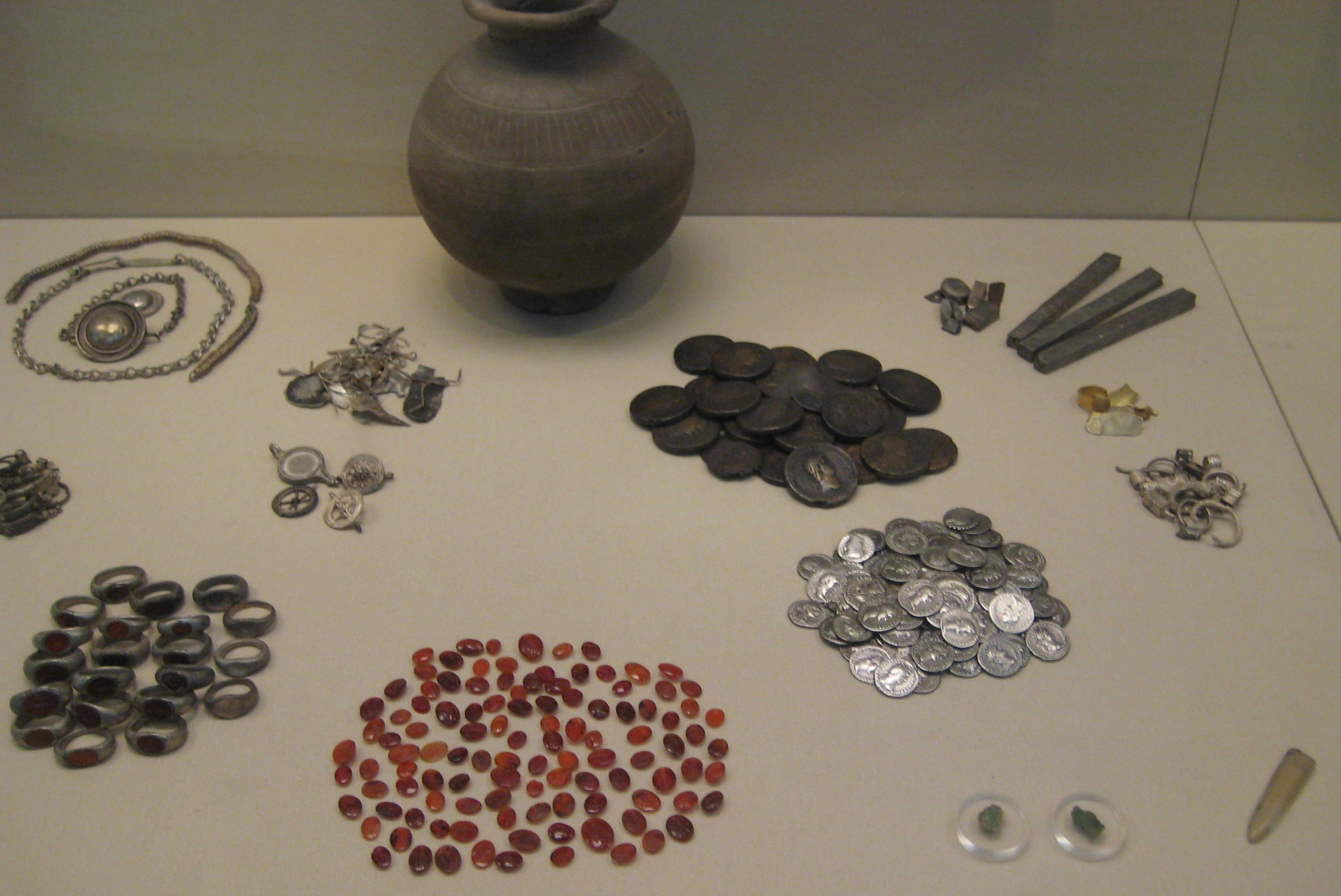
Snettisham Jeweller's Hoard
The Snettisham Jeweller's Hoard is a collection of Romano-British jewellery and raw materials, found during the construction of a house in the Norfolk...
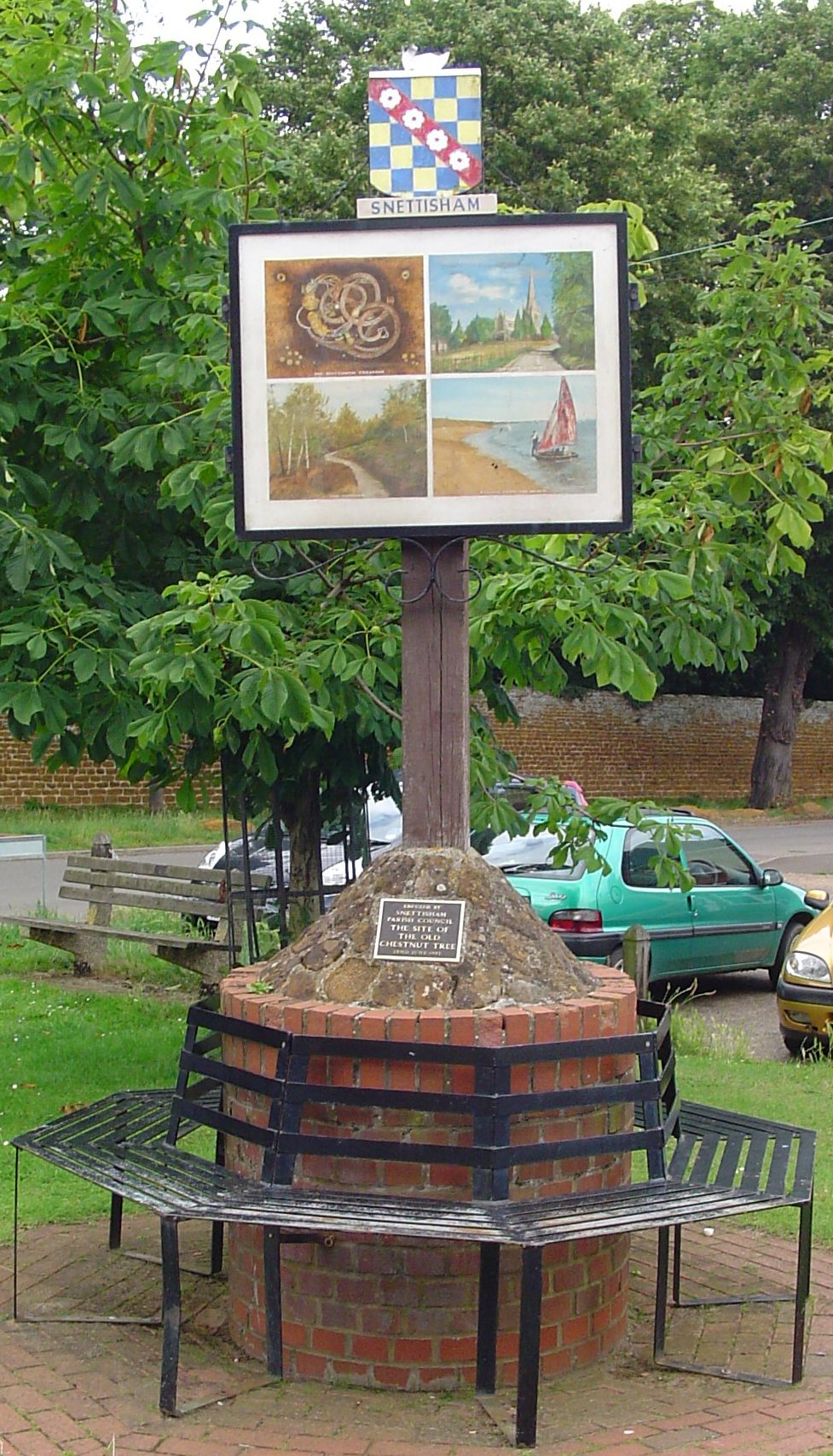
Snettisham
Snettisham is a village and civil parish in the English county of Norfolk. It is located near the west coast of Norfolk, some 5 miles (8.0 km) south of...
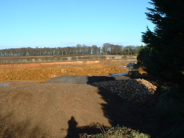
Snettisham Carstone Quarry
Snettisham Carstone Quarry is an 11-hectare (27-acre) biological Site of Special Scientific Interest north of King's Lynn in Norfolk. It is in the Norfolk...

Snettisham Hoard
The Snettisham Hoard or Snettisham Treasure is a series of discoveries of Iron Age precious metal, found in the Snettisham area of the English county of...

Wild Ken Hill
Wild Ken Hill is a rewilding and regenerative agriculture project located in Norfolk, England, at the edge of The Wash. == History == The name Ken Hill...

Ingoldisthorpe
Ingoldisthorpe is a village and civil parish in the north-west of the English county of Norfolk. It is located approximately 9 miles (14 km) north-east...

Heacham Brick Pit
Heacham Brick Pit is a 0.8-hectare (2.0-acre) geological Site of Special Scientific Interest in Heacham, north of King's Lynn in Norfolk. It is a Geological...
Nearby Amenities
Located within 500m of 52.87737,0.48454915Have you been to Lodge Hill Plantation?
Leave your review of Lodge Hill Plantation below (or comments, questions and feedback).