Snettisham Common
Wood, Forest in Norfolk King's Lynn and West Norfolk
England
Snettisham Common
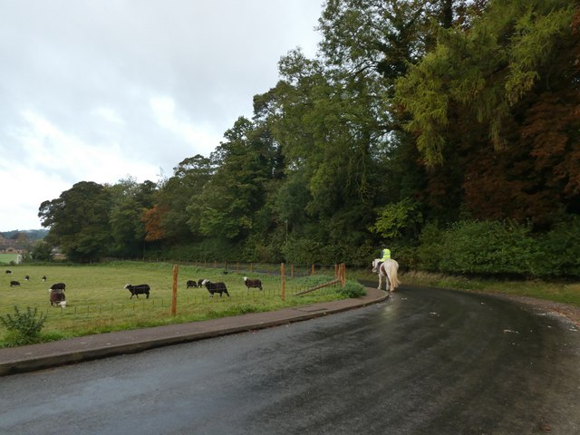
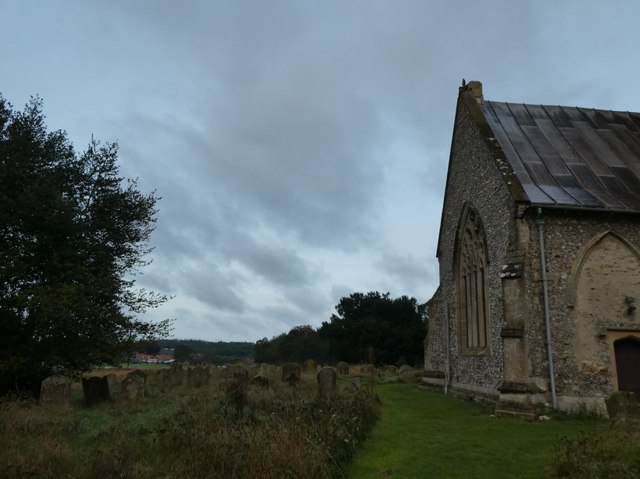
Snettisham Common is a picturesque woodland area located in the county of Norfolk, England. Spanning over 400 acres, it is a designated Site of Special Scientific Interest (SSSI) due to its unique ecological features and diverse range of wildlife.
The common is characterized by its dense woodland, dominated by a variety of tree species including oak, birch, and pine. The forest floor is covered with a lush carpet of mosses, ferns, and wildflowers, creating a vibrant and colorful landscape. The trees provide a natural habitat for numerous bird species such as woodpeckers, warblers, and owls, making it a popular spot for birdwatching enthusiasts.
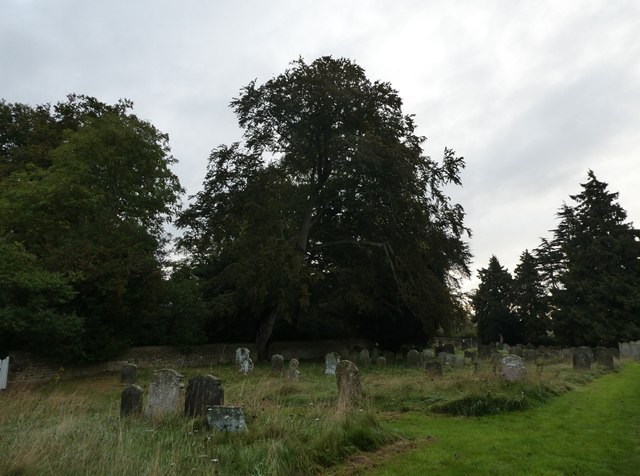
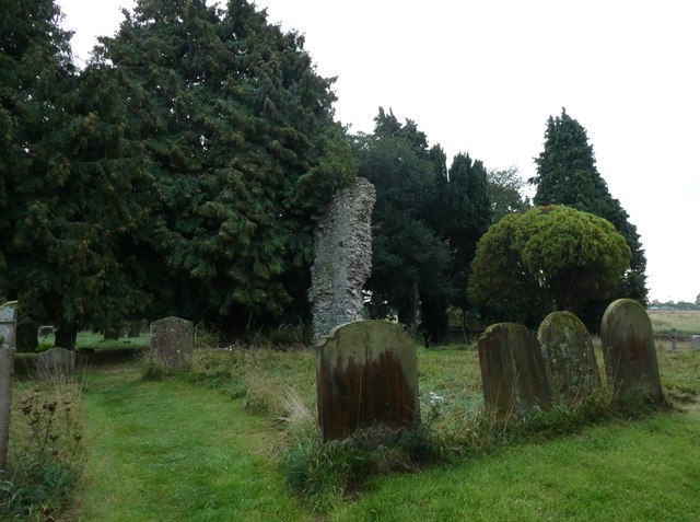
In addition to its rich flora and fauna, Snettisham Common is also home to several ancient archaeological sites. The area contains remnants of Iron Age settlements, including circular enclosures and burial mounds, which have provided valuable insights into the region's past.
The common is open to the public and offers a range of walking trails, allowing visitors to explore its natural beauty and discover its hidden treasures. There are also designated areas for picnicking and camping, making it an ideal spot for a family day out or a weekend getaway.
Snettisham Common is a haven for nature lovers and history enthusiasts alike, offering a peaceful and scenic escape from the hustle and bustle of everyday life. Its conservation efforts ensure that future generations can continue to enjoy and appreciate its natural wonders.
If you have any feedback on the listing, please let us know in the comments section below.
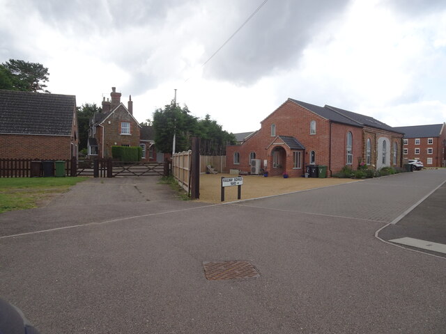
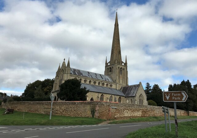
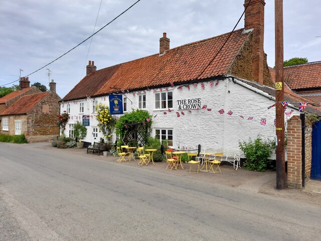
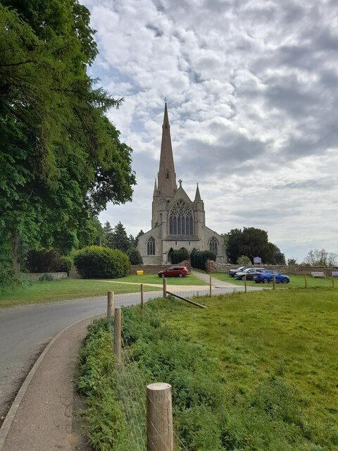
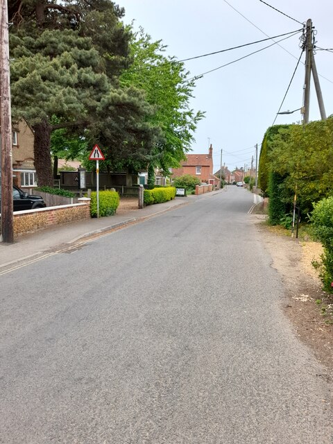
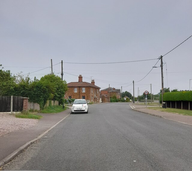
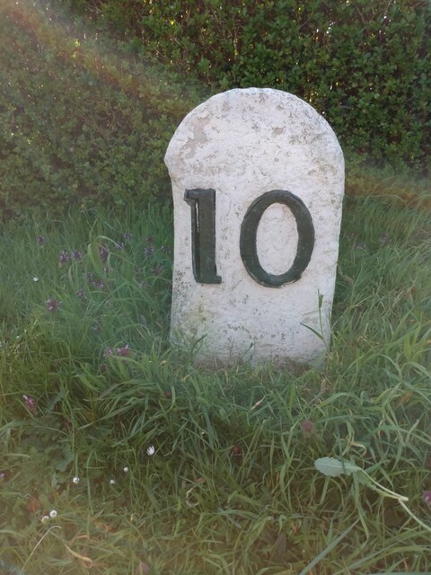
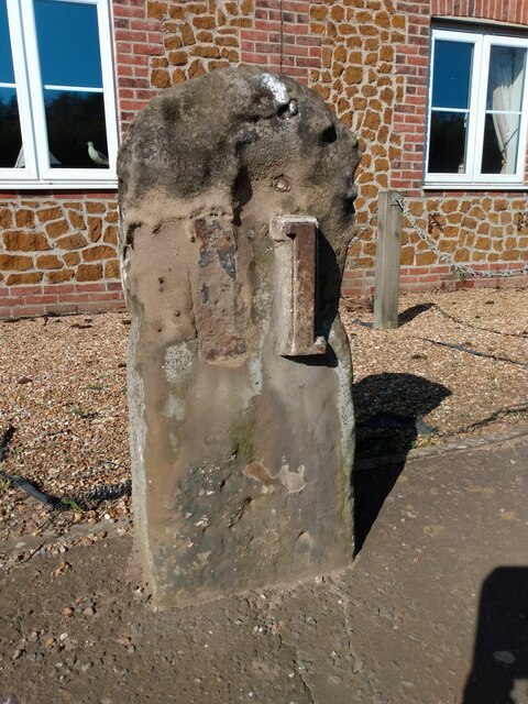
Snettisham Common Images
Images are sourced within 2km of 52.874836/0.48278436 or Grid Reference TF6733. Thanks to Geograph Open Source API. All images are credited.


Snettisham Common is located at Grid Ref: TF6733 (Lat: 52.874836, Lng: 0.48278436)
Administrative County: Norfolk
District: King's Lynn and West Norfolk
Police Authority: Norfolk
What 3 Words
///conquests.count.comically. Near Snettisham, Norfolk
Nearby Locations
Related Wikis

Snettisham railway station
Snettisham was a railway station on the King's Lynn to Hunstanton line which served the village of Snettisham, a few miles north of King's Lynn in North...
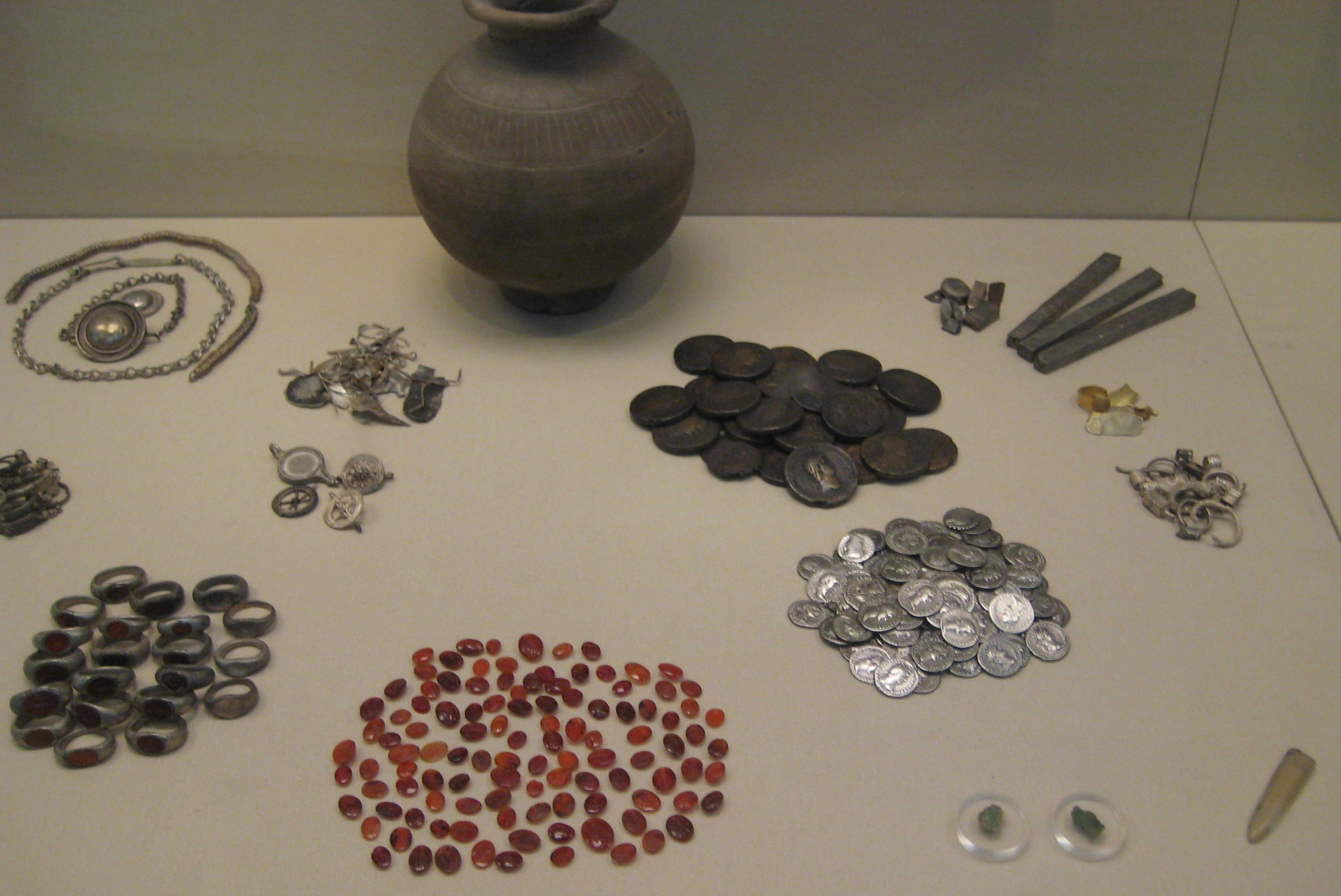
Snettisham Jeweller's Hoard
The Snettisham Jeweller's Hoard is a collection of Romano-British jewellery and raw materials, found during the construction of a house in the Norfolk...
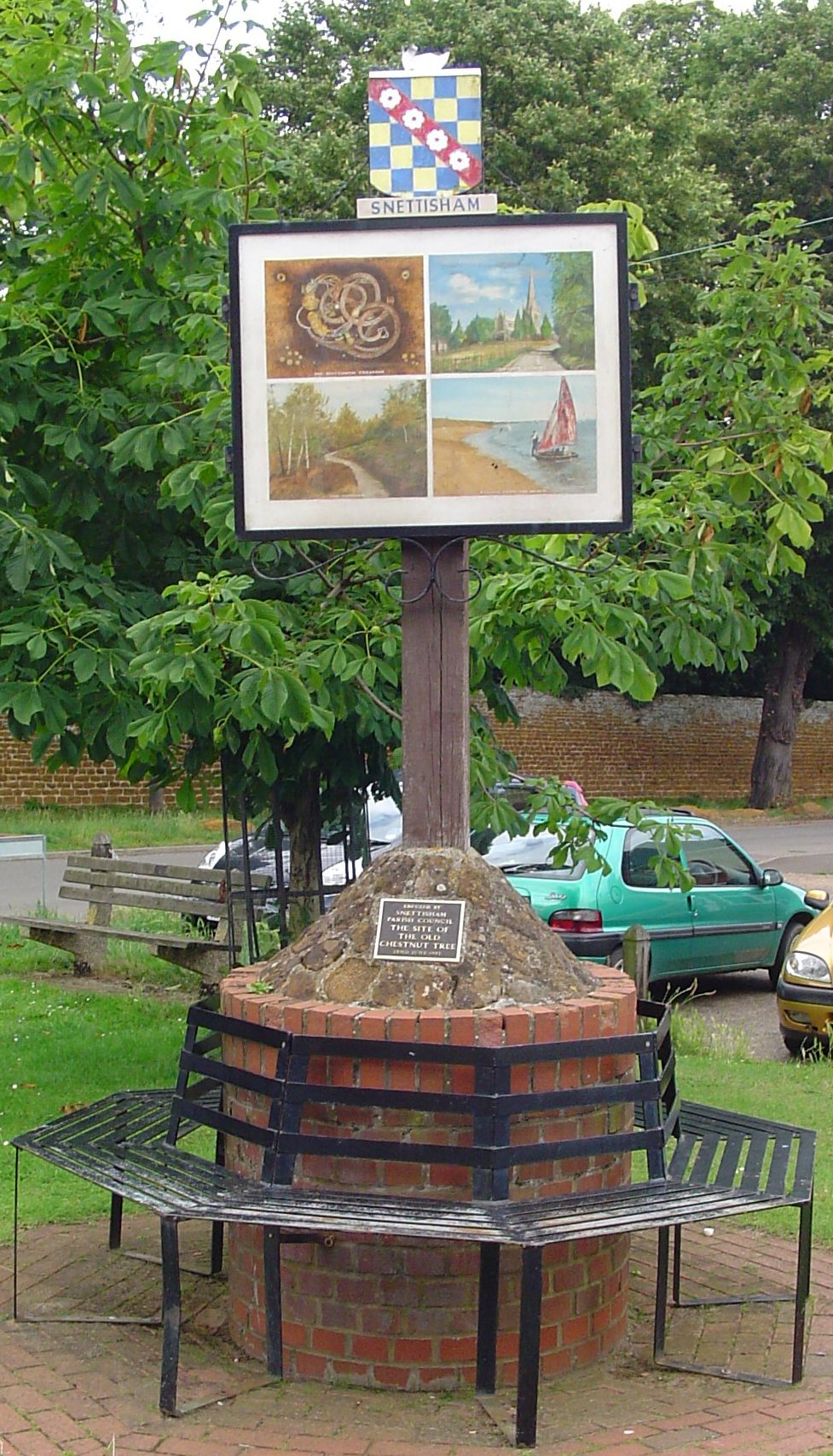
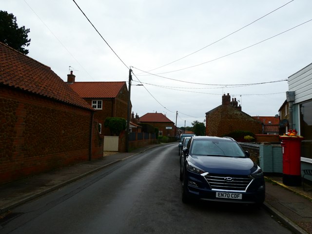
Snettisham
Snettisham is a village and civil parish in the English county of Norfolk. It is located near the west coast of Norfolk, some 5 miles (8.0 km) south of...
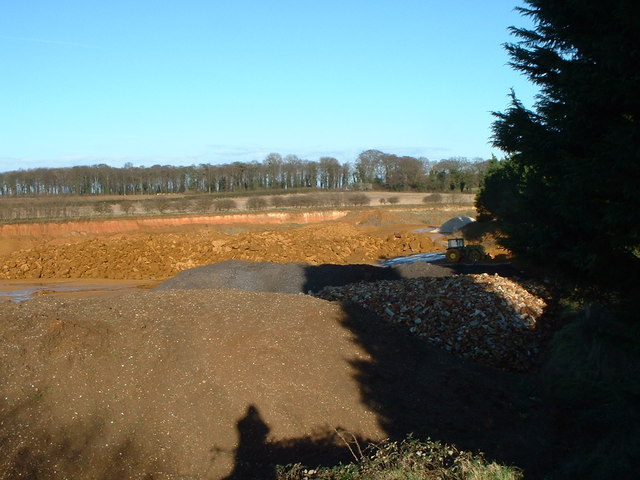
Snettisham Carstone Quarry
Snettisham Carstone Quarry is an 11-hectare (27-acre) biological Site of Special Scientific Interest north of King's Lynn in Norfolk. It is in the Norfolk...

Snettisham Hoard
The Snettisham Hoard or Snettisham Treasure is a series of discoveries of Iron Age precious metal, found in the Snettisham area of the English county of...

Ingoldisthorpe
Ingoldisthorpe is a village and civil parish in the north-west of the English county of Norfolk. It is located approximately 9 miles (14 km) north-east...

Wild Ken Hill
Wild Ken Hill is a rewilding and regenerative agriculture project located in Norfolk, England, at the edge of The Wash. == History == The name Ken Hill...

Heacham Brick Pit
Heacham Brick Pit is a 0.8-hectare (2.0-acre) geological Site of Special Scientific Interest in Heacham, north of King's Lynn in Norfolk. It is a Geological...
Nearby Amenities
Located within 500m of 52.874836,0.48278436Have you been to Snettisham Common?
Leave your review of Snettisham Common below (or comments, questions and feedback).