Little Hook Wood
Wood, Forest in Sussex Wealden
England
Little Hook Wood
Little Hook Wood is a small yet enchanting woodland located in the county of Sussex, England. Nestled amidst the rolling countryside, this picturesque forest covers an area of approximately 20 acres. The wood is predominantly composed of native broadleaf trees, including oak, beech, and ash, which create a diverse and vibrant ecosystem.
As visitors venture into Little Hook Wood, they are greeted by a well-maintained footpath that meanders through the heart of the forest, offering a peaceful and immersive experience. The woodland floor is adorned with a rich carpet of wildflowers during spring and summer, attracting a myriad of insects and small mammals.
One of the notable features of Little Hook Wood is its diverse birdlife. The forest serves as a sanctuary for various species, including robins, blackbirds, and great tits. The tranquil atmosphere provides an ideal setting for birdwatchers to observe these feathered creatures in their natural habitat.
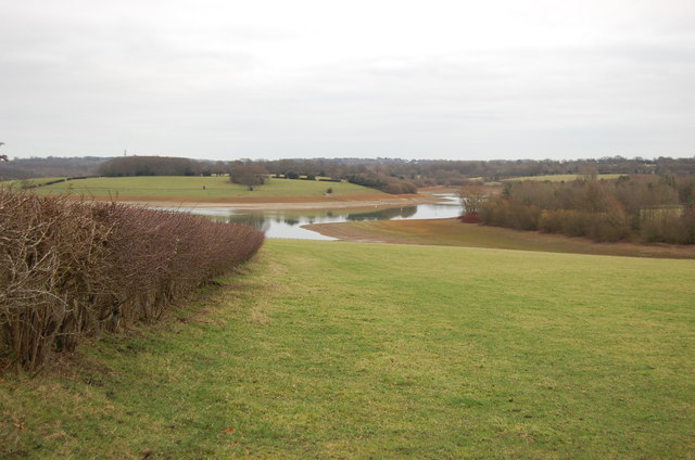
The woodland also boasts a small stream that meanders through its midst, adding to its scenic charm. The babbling brook not only provides a source of water for the local wildlife but also creates a soothing ambiance that visitors find incredibly calming.
Little Hook Wood is a popular destination for nature enthusiasts and outdoor lovers alike. Its peaceful ambiance and natural beauty make it an ideal place for walking, picnicking, and photography. The wood is easily accessible with ample parking facilities nearby, ensuring that visitors can explore and appreciate the wonders of this hidden gem in Sussex.
If you have any feedback on the listing, please let us know in the comments section below.
Little Hook Wood Images
Images are sourced within 2km of 51.075643/0.38529313 or Grid Reference TQ6733. Thanks to Geograph Open Source API. All images are credited.


Little Hook Wood is located at Grid Ref: TQ6733 (Lat: 51.075643, Lng: 0.38529313)
Administrative County: East Sussex
District: Wealden
Police Authority: Sussex
What 3 Words
///cashew.leads.boils. Near Lamberhurst, Kent
Nearby Locations
Related Wikis

Bewl Bridge Rowing Club
Bewl Bridge Rowing Club is a rowing club on the Bewl Water, based at Bewlbridge Lane, Lamberhurst, Wadhurst, Tunbridge Wells. Rowers aged 12 and upwards...

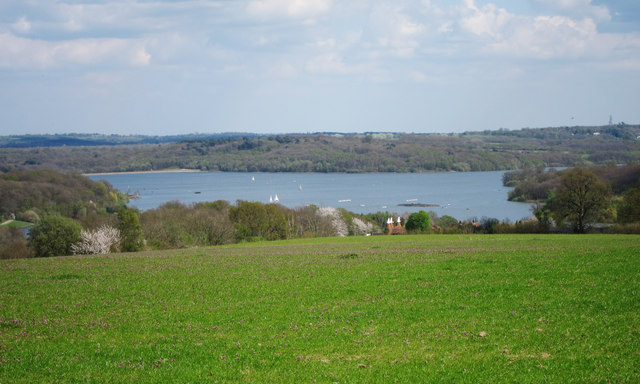
Bewl Water
Bewl Water is a reservoir in the valley of the River Bewl, straddling the boundary between Kent and East Sussex in England. It is about 2 miles (3.2 km...

Scotney Castle SSSI
Scotney Castle SSSI is a 112.5-hectare (278-acre) biological Site of Special Scientific Interest in the grounds of Scotney Castle, a National Trust property...
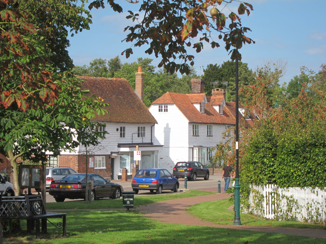
Lamberhurst
Lamberhurst ( is a village and civil parish in the borough of Tunbridge Wells in Kent, England. The parish contains the hamlets of The Down and Hook Green...

Scotney Castle
Scotney Castle is an English country house with formal gardens south-east of Lamberhurst in the valley of the River Bewl in Kent, England. It belongs to...

Rehoboth Chapel, Pell Green
Rehoboth Chapel is a former Strict Baptist place of worship in the hamlet of Pell Green in East Sussex, England. Pell Green is in the parish of Wadhurst...

Ticehurst House Hospital
Ticehurst House Hospital was a mental health facility. It opened in 1792 and was owned and run by five generations of members of the Newington family until...
St Mary's Church, Lamberhurst
St Mary's Church is a parish church in Lamberhurst, Kent. It is a Grade I listed building. == Building == The first buildings on the site were erected...
Nearby Amenities
Located within 500m of 51.075643,0.38529313Have you been to Little Hook Wood?
Leave your review of Little Hook Wood below (or comments, questions and feedback).