Greenwoods Wood
Wood, Forest in Sussex Rother
England
Greenwoods Wood

Greenwoods Wood is a beautiful and enchanting forest located in Sussex, England. Spanning across a vast area, it is home to a diverse range of flora and fauna, making it a haven for nature enthusiasts and wildlife lovers alike.
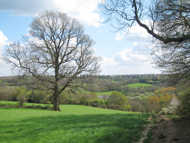
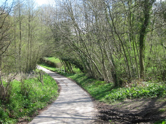
The forest is predominantly composed of deciduous trees, such as oak, beech, and birch, which create a stunning canopy that provides shade and shelter for the various creatures that inhabit the area. The woodland floor is carpeted with a rich layer of moss, ferns, and wildflowers, adding to the charm and natural beauty of the landscape.
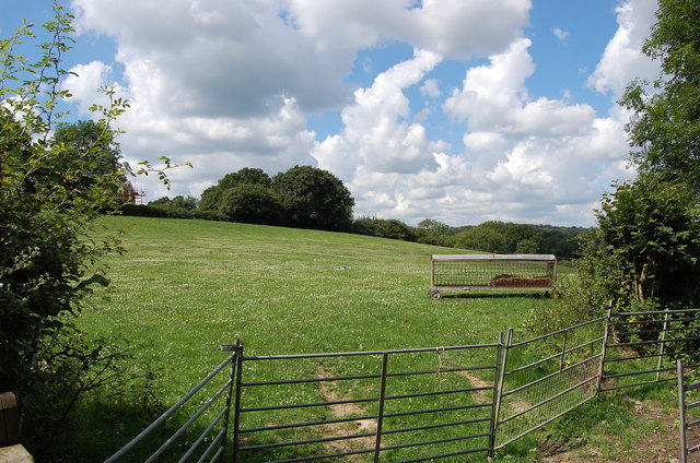
Greenwoods Wood is teeming with wildlife, offering a haven for numerous species. Birdwatchers can spot a variety of birds, including woodpeckers, owls, and warblers. Squirrels, foxes, and deer are also common sightings, adding to the sense of tranquility and harmony within the forest.
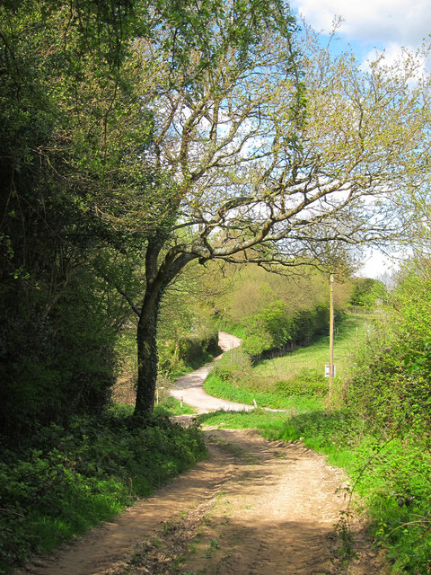
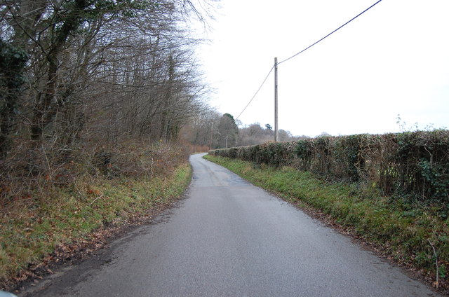
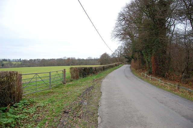
The wood is crisscrossed with a network of walking trails, allowing visitors to explore and immerse themselves in the serene surroundings. These paths lead to hidden glades, babbling brooks, and secluded ponds, creating a sense of discovery and adventure.
Greenwoods Wood is not only a natural treasure but also holds historical significance. The site is believed to have been inhabited since ancient times, with remnants of Iron Age settlements and Roman artifacts discovered within its boundaries. This adds an extra layer of intrigue and mystery to the forest, attracting history enthusiasts and archaeologists.
In summary, Greenwoods Wood in Sussex is a captivating and diverse forest, offering visitors a chance to connect with nature, observe wildlife, and explore its rich historical heritage. It is a place of tranquility and beauty, providing a much-needed escape from the hustle and bustle of modern life.
If you have any feedback on the listing, please let us know in the comments section below.
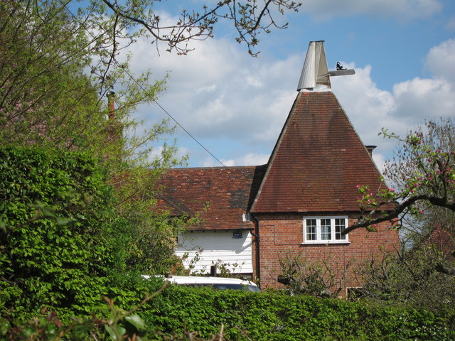
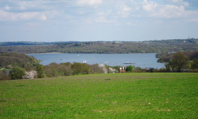
Greenwoods Wood Images
Images are sourced within 2km of 51.066286/0.37355002 or Grid Reference TQ6632. Thanks to Geograph Open Source API. All images are credited.


Greenwoods Wood is located at Grid Ref: TQ6632 (Lat: 51.066286, Lng: 0.37355002)
Administrative County: East Sussex
District: Rother
Police Authority: Sussex
What 3 Words
///locating.petulant.nappy. Near Wadhurst, East Sussex
Nearby Locations
Related Wikis

Bewl Bridge Rowing Club
Bewl Bridge Rowing Club is a rowing club on the Bewl Water, based at Bewlbridge Lane, Lamberhurst, Wadhurst, Tunbridge Wells. Rowers aged 12 and upwards...

Bewl Water
Bewl Water is a reservoir in the valley of the River Bewl, straddling the boundary between Kent and East Sussex in England. It is about 2 miles (3.2 km...

Rehoboth Chapel, Pell Green
Rehoboth Chapel is a former Strict Baptist place of worship in the hamlet of Pell Green in East Sussex, England. Pell Green is in the parish of Wadhurst...
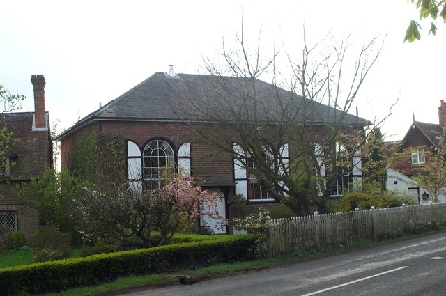
Shover's Green Baptist Chapel
Shover's Green Baptist Chapel is a former Strict Baptist place of worship in the hamlet of Shover's Green in East Sussex, England. Shover's Green is in...
Uplands Academy
Uplands Academy (formerly Uplands Community College) is a coeducational secondary school and sixth form located in Wadhurst, East Sussex, England. ��2...

Ticehurst House Hospital
Ticehurst House Hospital was a mental health facility. It opened in 1792 and was owned and run by five generations of members of the Newington family until...
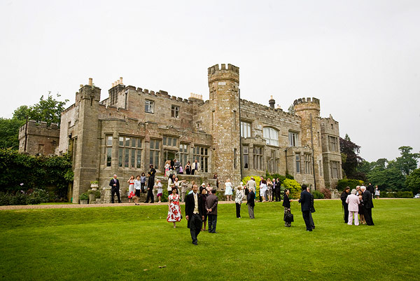
Wadhurst Castle
Wadhurst Castle is a 19th-century castellated mansion just to the west of the town of Wadhurst, East Sussex, England, in an elevated position overlooking...

Wadhurst
Wadhurst is a market town in East Sussex, England. It is the centre of the civil parish of Wadhurst, which also includes the hamlets of Cousley Wood and...
Nearby Amenities
Located within 500m of 51.066286,0.37355002Have you been to Greenwoods Wood?
Leave your review of Greenwoods Wood below (or comments, questions and feedback).