Chantler's Rough
Wood, Forest in Sussex Rother
England
Chantler's Rough

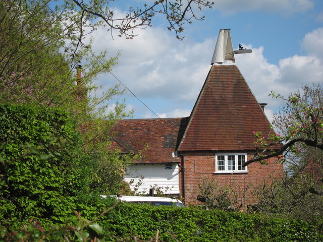
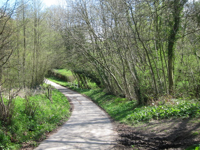
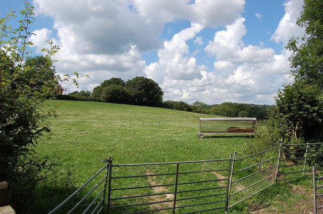
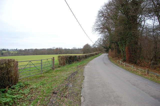
Chantler's Rough, located in Sussex, England, is a picturesque woodland area known for its natural beauty and rich biodiversity. Covering an area of approximately 500 acres, this forested landscape offers a serene escape from the hustle and bustle of nearby urban areas.
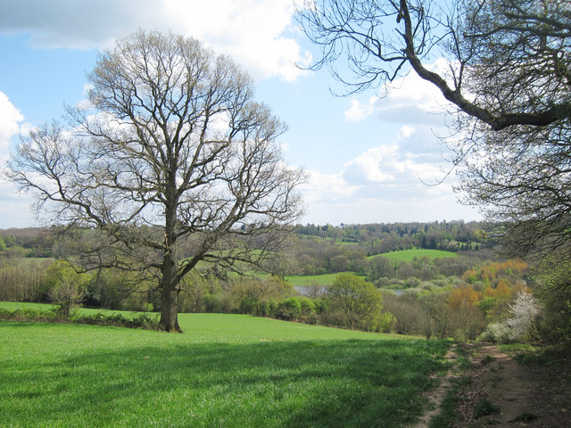
The woodland is a mixture of deciduous and coniferous trees, creating a diverse habitat for a wide range of plant and animal species. Ancient oaks, beech, and birch trees dominate the landscape, their towering canopies providing shelter for a variety of wildlife.
Chantler's Rough is home to an abundance of bird species, including woodpeckers, thrushes, and various owls. The forest floor is carpeted with bluebells, wild garlic, and ferns, lending a magical feel to the surroundings during springtime.
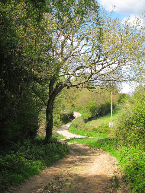
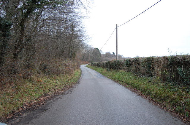
This woodland is a popular destination for outdoor enthusiasts and nature lovers alike. Visitors can explore the well-maintained trails that wind through the forest, providing opportunities for leisurely walks, birdwatching, and photography. There are also designated picnic areas where visitors can relax and enjoy the peaceful surroundings.
Chantler's Rough is managed by a team of dedicated conservationists who work tirelessly to preserve its natural beauty. They conduct regular surveys to monitor the health of the forest and implement measures to protect the delicate ecosystem.
Overall, Chantler's Rough is a cherished natural treasure in Sussex, offering a tranquil retreat for those seeking solace in nature's embrace.
If you have any feedback on the listing, please let us know in the comments section below.
Chantler's Rough Images
Images are sourced within 2km of 51.065558/0.37702408 or Grid Reference TQ6632. Thanks to Geograph Open Source API. All images are credited.


Chantler's Rough is located at Grid Ref: TQ6632 (Lat: 51.065558, Lng: 0.37702408)
Administrative County: East Sussex
District: Rother
Police Authority: Sussex
What 3 Words
///albatross.revision.glory. Near Wadhurst, East Sussex
Nearby Locations
Related Wikis

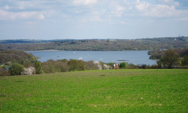
Bewl Water
Bewl Water is a reservoir in the valley of the River Bewl, straddling the boundary between Kent and East Sussex in England. It is about 2 miles (3.2 km...

Bewl Bridge Rowing Club
Bewl Bridge Rowing Club is a rowing club on the Bewl Water, based at Bewlbridge Lane, Lamberhurst, Wadhurst, Tunbridge Wells. Rowers aged 12 and upwards...

Ticehurst House Hospital
Ticehurst House Hospital was a mental health facility. It opened in 1792 and was owned and run by five generations of members of the Newington family until...
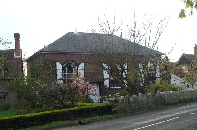
Shover's Green Baptist Chapel
Shover's Green Baptist Chapel is a former Strict Baptist place of worship in the hamlet of Shover's Green in East Sussex, England. Shover's Green is in...

Rehoboth Chapel, Pell Green
Rehoboth Chapel is a former Strict Baptist place of worship in the hamlet of Pell Green in East Sussex, England. Pell Green is in the parish of Wadhurst...
Uplands Academy
Uplands Academy (formerly Uplands Community College) is a coeducational secondary school and sixth form located in Wadhurst, East Sussex, England. ��2...
Ticehurst
Ticehurst is both a village and a large civil parish in the Rother district of East Sussex, England. The parish lies in the upper reaches of both the Bewl...
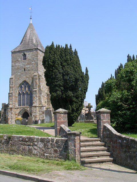
St Mary's Church, Ticehurst
St Mary's Church is a 14th-century parish church dedicated to St Mary the Virgin in Ticehurst, East Sussex, England. Part of the Diocese of Chichester...
Nearby Amenities
Located within 500m of 51.065558,0.37702408Have you been to Chantler's Rough?
Leave your review of Chantler's Rough below (or comments, questions and feedback).