Sand Pit Plantation
Wood, Forest in Norfolk King's Lynn and West Norfolk
England
Sand Pit Plantation
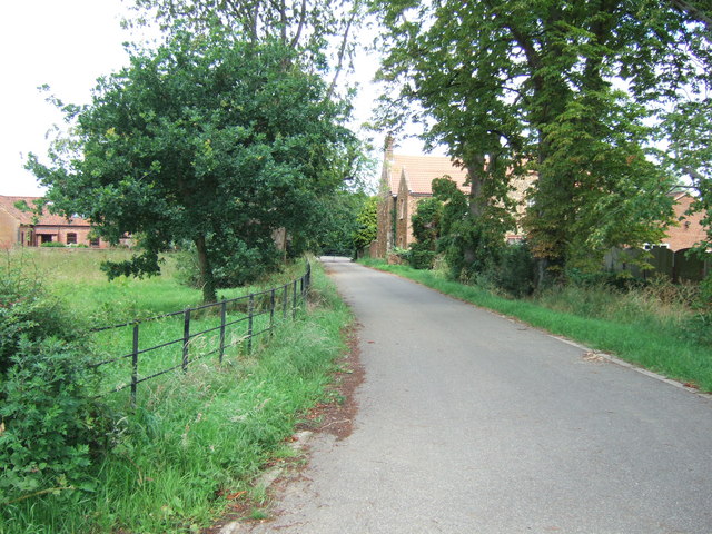
Sand Pit Plantation is a picturesque woodland located in Norfolk, England. Covering an area of approximately 100 acres, it is renowned for its diverse flora and fauna, making it a popular destination for nature enthusiasts and hikers alike.
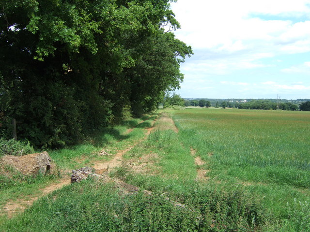
The plantation is predominantly composed of mature oak and beech trees, interspersed with smaller pockets of birch, ash, and pine. The dense canopy provides ample shade and creates a serene atmosphere, while the forest floor is carpeted with a variety of wildflowers, ferns, and mosses.
The plantation is home to a wide range of wildlife, including various bird species such as woodpeckers, owls, and thrushes. Mammals such as deer, foxes, and squirrels can also be spotted, along with a multitude of insects and amphibians.
Several well-marked trails wind their way through the plantation, offering visitors the opportunity to explore its natural beauty. These trails cater to different skill levels, ranging from leisurely strolls to more challenging hikes, ensuring there is something for everyone.
Sand Pit Plantation is managed by the local forestry commission, ensuring the preservation of its natural ecosystems. The plantation is open to the public year-round, with no admission fees, making it an accessible and affordable destination for outdoor enthusiasts.
In addition to its natural attractions, the plantation also features picnic areas and benches, allowing visitors to relax and enjoy the tranquil surroundings. Interpretive signs are strategically placed along the trails, providing educational information about the plantation's flora, fauna, and historical significance.
Overall, Sand Pit Plantation is a haven of biodiversity and natural beauty, offering a peaceful escape from the hustle and bustle of everyday life. Whether one is seeking a leisurely stroll or an immersive nature experience, this woodland sanctuary in Norfolk is sure to leave a lasting impression.
If you have any feedback on the listing, please let us know in the comments section below.
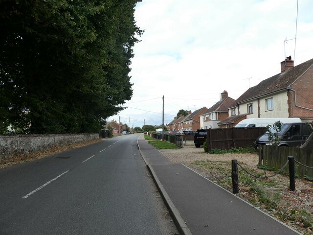
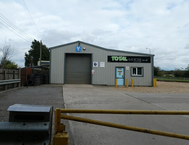
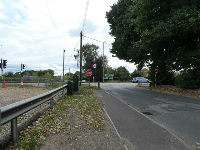
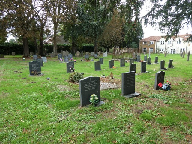
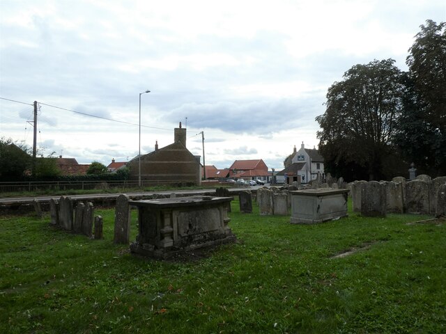
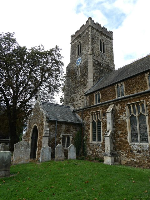
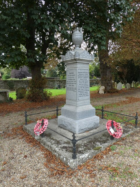
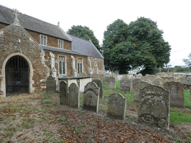
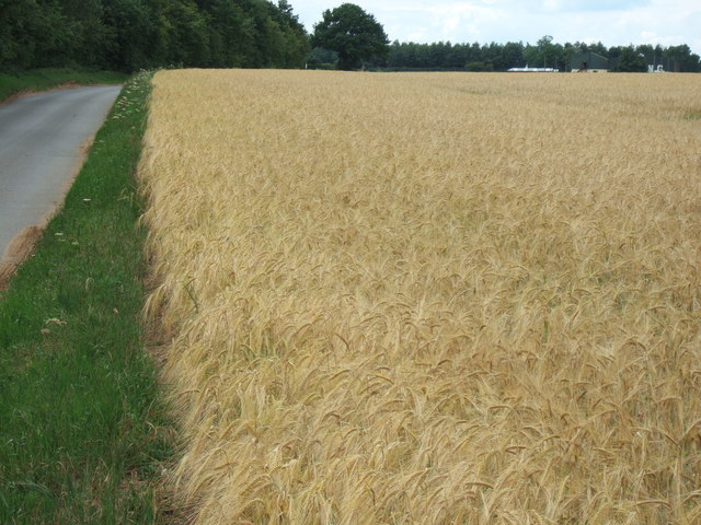
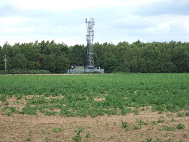
Sand Pit Plantation Images
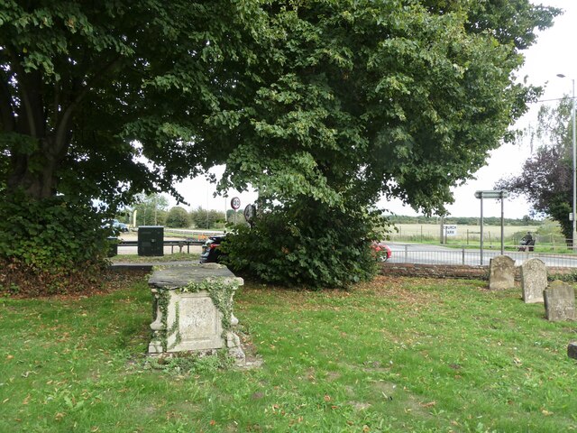
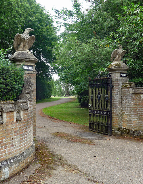
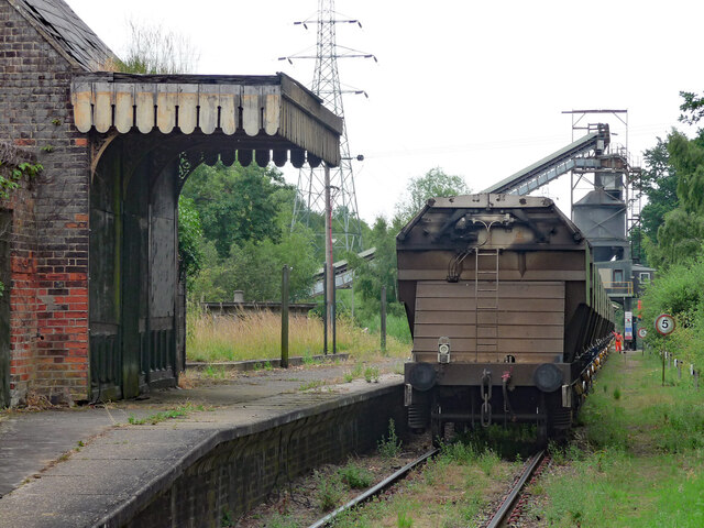
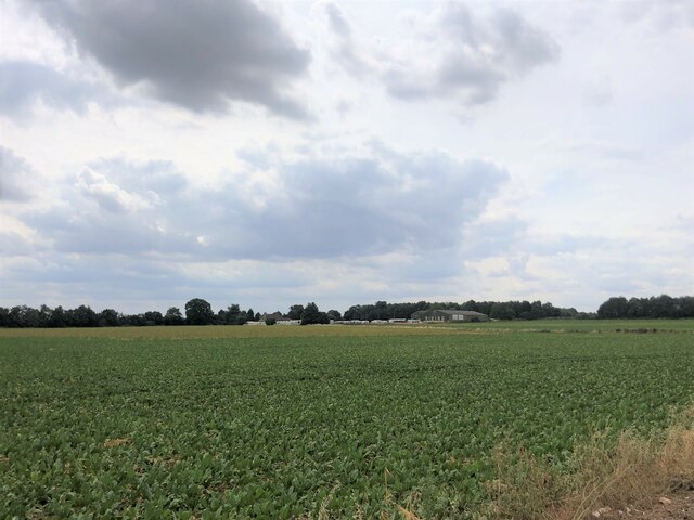
Images are sourced within 2km of 52.722648/0.4660871 or Grid Reference TF6616. Thanks to Geograph Open Source API. All images are credited.
Sand Pit Plantation is located at Grid Ref: TF6616 (Lat: 52.722648, Lng: 0.4660871)
Administrative County: Norfolk
District: King's Lynn and West Norfolk
Police Authority: Norfolk
What 3 Words
///protests.putts.fetches. Near King's Lynn, Norfolk
Nearby Locations
Related Wikis

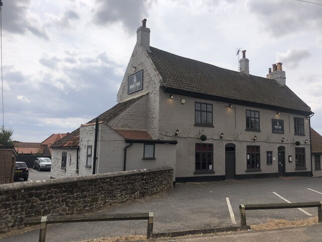
Middleton, Norfolk
Middleton is a village and civil parish in the English county of Norfolk. It covers an area of 5.02 sq mi (13.0 km2) and had a population of 1,516 in 621...

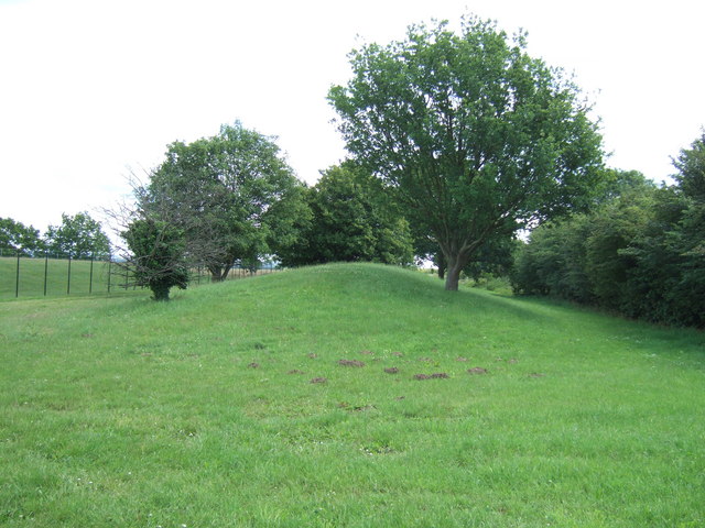
Middleton Mount
Middleton Mount, also called Middleton Motte and Middleton Castle, is the remains of a medieval castle situated in the village of Middleton, in Norfolk...

Middleton Towers
Middleton Towers is a privately owned country house in Norfolk, England, near the village of Middleton and about 3 miles (5 km) east of King's Lynn. The...

Middleton Towers railway station
Middleton Towers railway station was a station in Middleton, Norfolk. It was on the line between Swaffham and King's Lynn, and closed along with the rest...
Nearby Amenities
Located within 500m of 52.722648,0.4660871Have you been to Sand Pit Plantation?
Leave your review of Sand Pit Plantation below (or comments, questions and feedback).