Middleton Mount
Heritage Site in Norfolk King's Lynn and West Norfolk
England
Middleton Mount
Middleton Mount, located in Norfolk, England, is a historically significant heritage site that dates back to medieval times. This elevated mound is situated in the village of Middleton, near the town of King's Lynn. The site is known for its rich history and archaeological importance.
The mount is believed to have been constructed during the 11th or 12th century, possibly as a motte and bailey castle. It is thought to have served as a defensive structure, offering strategic advantages due to its elevated position. The mound itself is approximately 25 meters in diameter and rises to a height of around 8 meters.
Excavations and surveys conducted at Middleton Mount have revealed several artifacts and remains from different periods. These include pottery fragments, animal bones, and evidence of medieval structures. The site has also provided valuable insights into the local landscape and settlement patterns during the medieval period.
Middleton Mount is a popular destination for history enthusiasts and archaeologists alike. It offers visitors a chance to explore and appreciate the site's historical significance. The mound is surrounded by lush greenery and provides panoramic views of the surrounding countryside.
Efforts have been made to preserve and protect Middleton Mount as a heritage site. It is maintained by local authorities and is accessible to the public. Signs and information boards are present to provide visitors with historical context and details about the site.
In conclusion, Middleton Mount in Norfolk is an important heritage site that offers a glimpse into the region's medieval history. With its archaeological remains and scenic surroundings, it serves as a valuable resource for understanding the past.
If you have any feedback on the listing, please let us know in the comments section below.
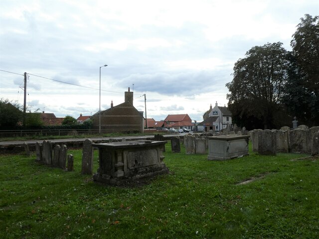
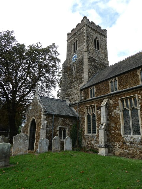
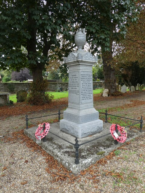
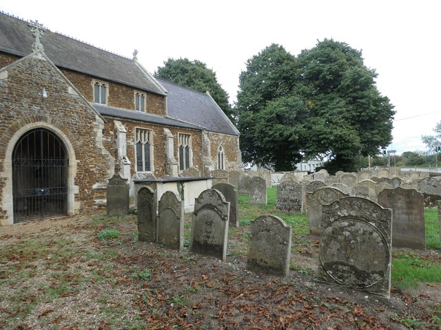
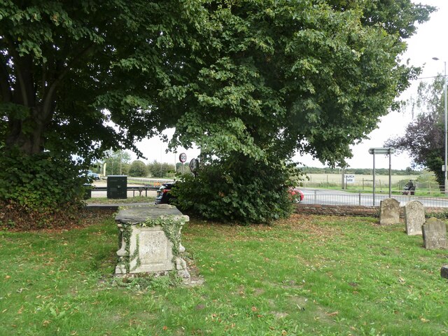
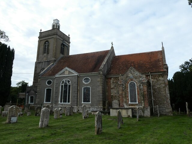
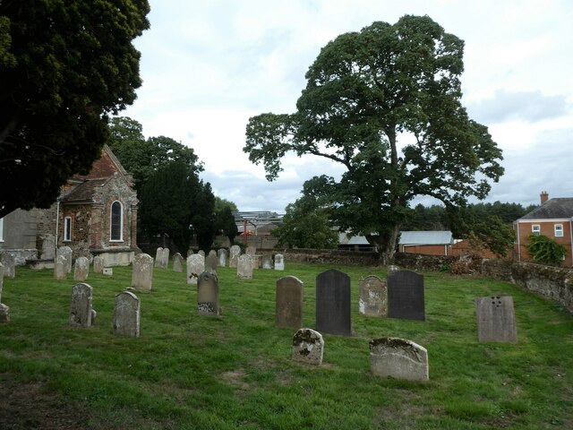
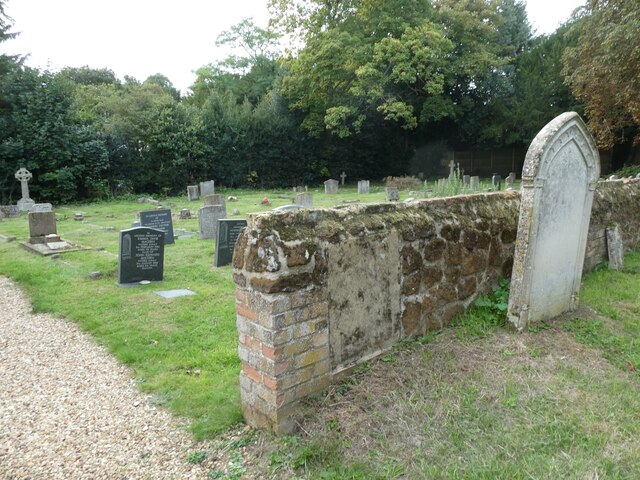
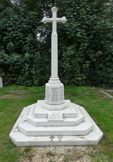
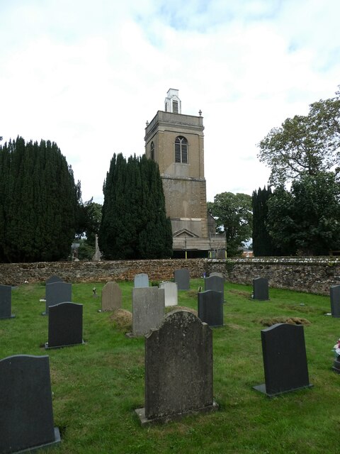
Middleton Mount Images
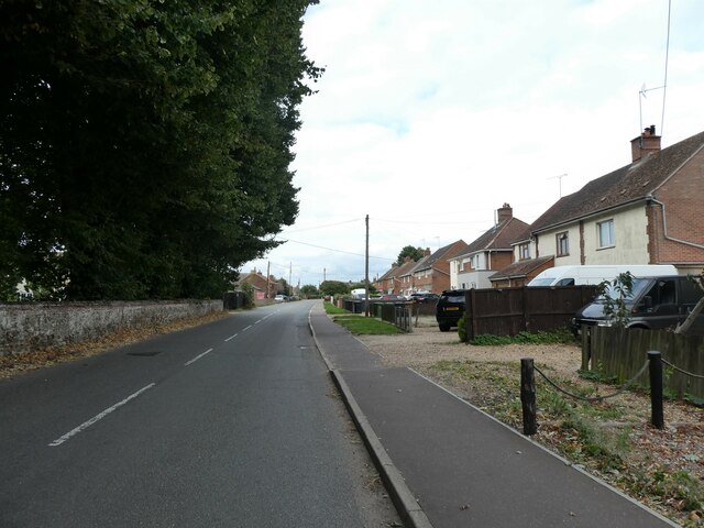
Images are sourced within 2km of 52.72/0.465 or Grid Reference TF6616. Thanks to Geograph Open Source API. All images are credited.
Middleton Mount is located at Grid Ref: TF6616 (Lat: 52.72, Lng: 0.465)
Administrative County: Norfolk
District: King's Lynn and West Norfolk
Police Authority: Norfolk
What 3 Words
///boxer.cyber.nesting. Near King's Lynn, Norfolk
Nearby Locations
Related Wikis

Middleton, Norfolk
Middleton is a village and civil parish in the English county of Norfolk. It covers an area of 5.02 sq mi (13.0 km2) and had a population of 1,516 in 621...

Middleton Mount
Middleton Mount, also called Middleton Motte and Middleton Castle, is the remains of a medieval castle situated in the village of Middleton, in Norfolk...

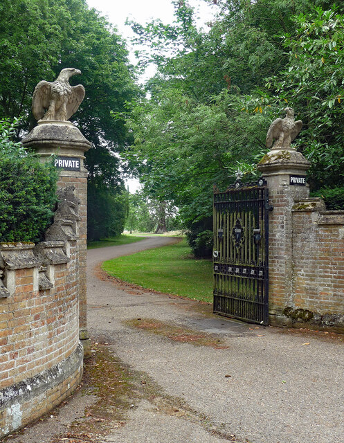
Middleton Towers
Middleton Towers is a privately owned country house in Norfolk, England, near the village of Middleton and about 3 miles (5 km) east of King's Lynn. The...

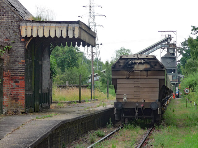
Middleton Towers railway station
Middleton Towers railway station was a station in Middleton, Norfolk. It was on the line between Swaffham and King's Lynn, and closed along with the rest...
Related Videos

4K Walk from North Runcton to West Winch (Norfolk)
My usual walk from North Runcton to West Winch Post Office.

Ben's Bimbles - Running the Nar Valley Way, Norfolk, England (Setchey -- Narborough -- Castle Acre)
Jog vlog along much of the Nar Valley Way and surrounding countryside in Norfolk, England. Starting and finishing at Setchey, ...
Cabin 28, Hays Wood Retreat, Kings Lynn, Norfolk
Gorgeous holiday cabin in rural Norfolk.
Nearby Amenities
Located within 500m of 52.72,0.465Have you been to Middleton Mount?
Leave your review of Middleton Mount below (or comments, questions and feedback).