Sandpit Plantation
Wood, Forest in Norfolk King's Lynn and West Norfolk
England
Sandpit Plantation
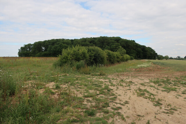
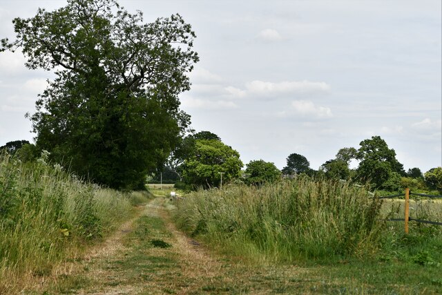
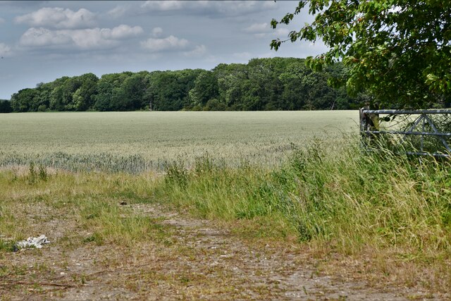
Sandpit Plantation is a woodland area located in Norfolk, England. Covering an extensive area, the plantation is known for its diverse range of plant and animal species, making it a popular destination for nature enthusiasts and wildlife lovers.
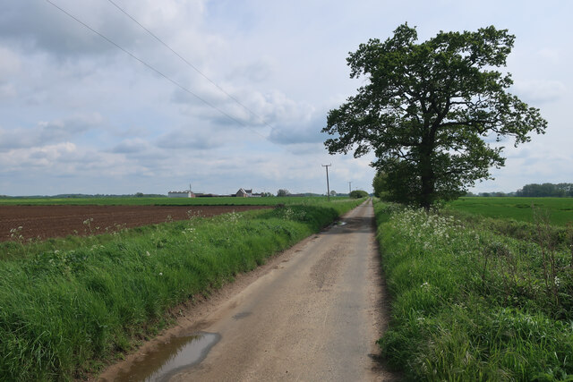
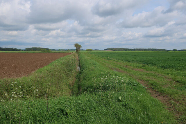
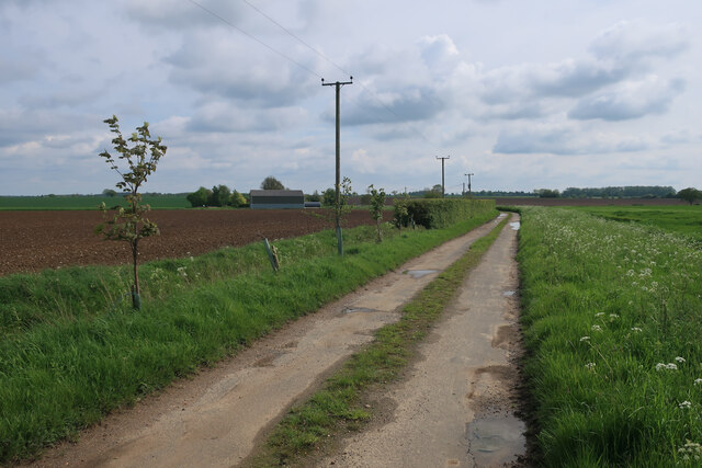
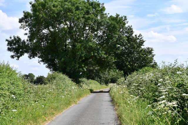
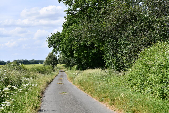
The woodland consists primarily of oak and pine trees, providing a picturesque and tranquil environment for visitors. The plantation's sandy soil composition gives it its unique name and contributes to the growth of various flowering plants and shrubs. Throughout the year, the woodland is adorned with bluebells, primroses, and wild garlic, adding bursts of color to the landscape.
Sandpit Plantation is home to a rich and diverse wildlife population. The woodland provides a habitat for numerous bird species, including woodpeckers, jays, and nightingales. Additionally, small mammals such as squirrels, rabbits, and hedgehogs can be spotted within the woodland. Visitors may also catch a glimpse of elusive deer and foxes, which roam freely in the plantation.
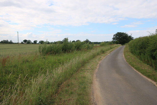
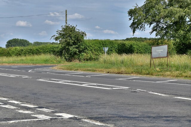
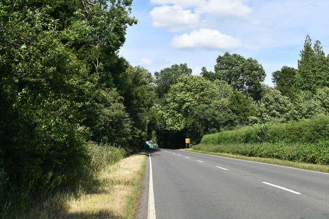
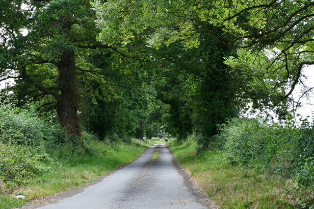
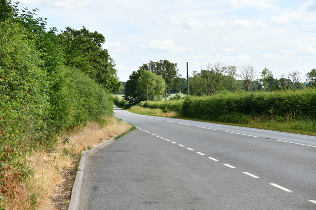
The woodland offers a range of walking trails and paths, allowing visitors to explore its natural beauty at their own pace. The plantation is well-maintained, with designated picnic areas and benches for visitors to relax and enjoy the surroundings. Furthermore, the plantation is accessible to people of all ages and abilities, with wheelchair-accessible paths and facilities.
Sandpit Plantation is not only a haven for wildlife but also a valuable educational resource. It provides an opportunity for visitors to learn about the importance of woodland conservation and the role it plays in maintaining biodiversity.
If you have any feedback on the listing, please let us know in the comments section below.
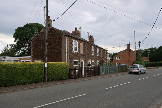
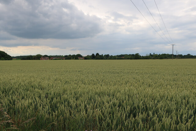
Sandpit Plantation Images
Images are sourced within 2km of 52.613262/0.45616683 or Grid Reference TF6604. Thanks to Geograph Open Source API. All images are credited.


Sandpit Plantation is located at Grid Ref: TF6604 (Lat: 52.613262, Lng: 0.45616683)
Administrative County: Norfolk
District: King's Lynn and West Norfolk
Police Authority: Norfolk
What 3 Words
///welcome.slurping.tilts. Near Downham Market, Norfolk
Related Wikis

Stradsett
Stradsett is a village and civil parish in the English county of Norfolk The village is 40.8 miles (65.7 km) west of Norwich, 11.3 miles (18.2 km) south...

Crimplesham
Crimplesham is a village and civil parish in the English county of Norfolk. It is situated 2.5 miles (4.0 km) east of the small town of Downham Market...

Winnold House
Winnold House, formerly the Benedictine Priory of St Winwaloe, is a country house in the parish of Wereham in Norfolk, England. The house is constructed...

Fincham
Fincham is a village and civil parish in the English county of Norfolk. The village is located 9.4 miles (15.1 km) south of King's Lynn and 34 miles (55...
Nearby Amenities
Located within 500m of 52.613262,0.45616683Have you been to Sandpit Plantation?
Leave your review of Sandpit Plantation below (or comments, questions and feedback).