Fourteen Acre Plantation
Wood, Forest in Norfolk King's Lynn and West Norfolk
England
Fourteen Acre Plantation
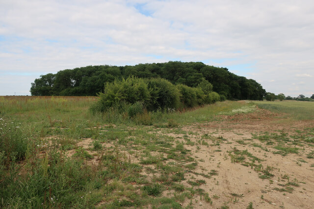
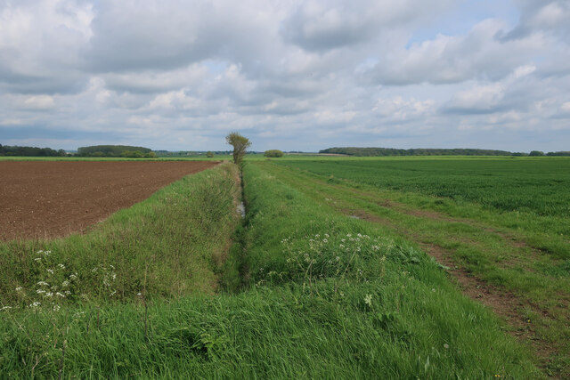
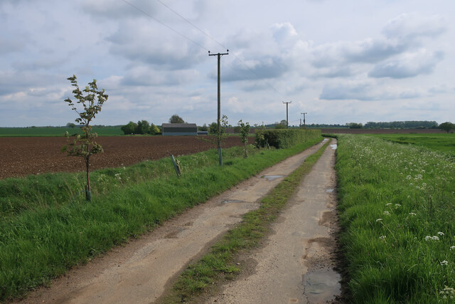
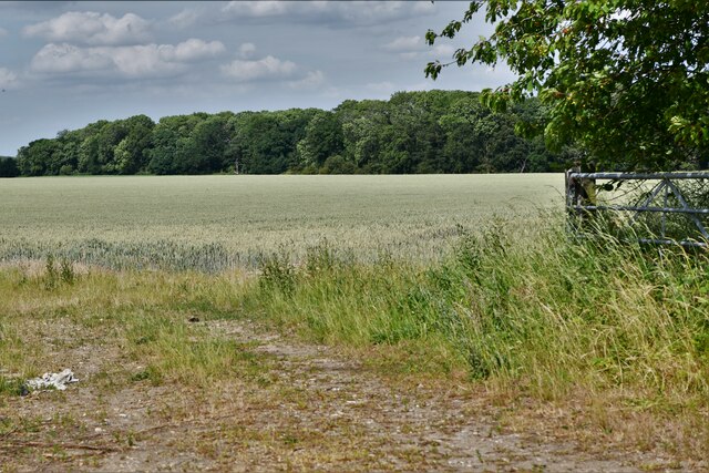
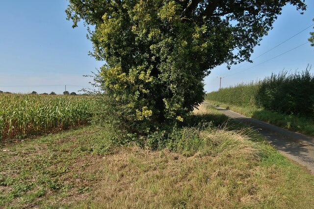
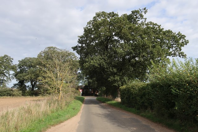
Fourteen Acre Plantation is a picturesque woodland located in Norfolk, England. Spanning an impressive fourteen acres, this plantation is known for its lush greenery, diverse flora, and tranquil atmosphere. Situated in the heart of the Norfolk countryside, this woodland offers a peaceful retreat for nature enthusiasts and those seeking a break from the hustle and bustle of city life.
The plantation features a variety of tree species, including oak, birch, and beech, which create a dense canopy overhead. The woodland floor is covered in a vibrant carpet of wildflowers, ferns, and moss, adding to the natural beauty of the surroundings. The plantation is home to a wide range of wildlife, including squirrels, rabbits, and various species of birds, making it a haven for nature lovers and birdwatchers alike.
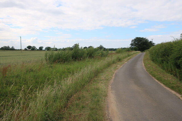
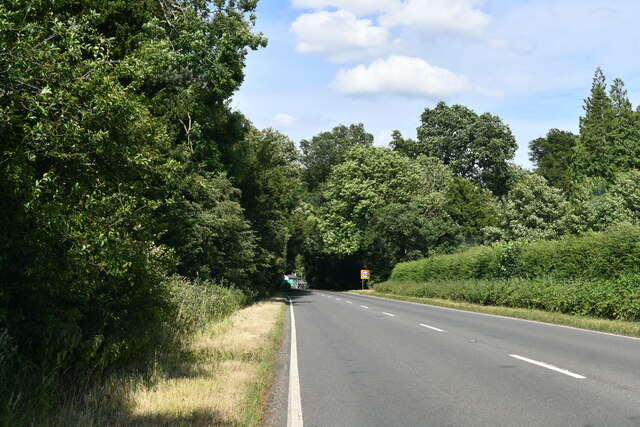
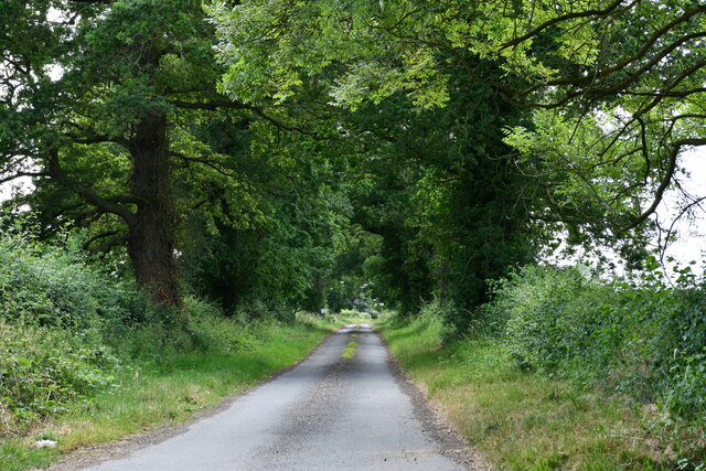
Visitors to Fourteen Acre Plantation can explore the woodland through a network of well-maintained trails. These pathways wind through the woods, allowing visitors to immerse themselves in the serene atmosphere and discover hidden pockets of beauty. The plantation also offers picnic areas, providing visitors with the opportunity to enjoy a leisurely lunch amid the tranquil surroundings.
Fourteen Acre Plantation is a popular spot for outdoor activities such as walking, jogging, and cycling. With its well-marked trails and serene ambiance, it offers an ideal setting for individuals looking to connect with nature and engage in physical exercise. The woodland is open to the public throughout the year, with varying opening hours depending on the season.
Overall, Fourteen Acre Plantation is a stunning woodland retreat that offers a unique opportunity to escape into nature. Whether it's for a peaceful stroll, a family picnic, or a birdwatching adventure, this Norfolk plantation guarantees a memorable and rejuvenating experience for all who visit.
If you have any feedback on the listing, please let us know in the comments section below.
Fourteen Acre Plantation Images
Images are sourced within 2km of 52.60948/0.46378377 or Grid Reference TF6604. Thanks to Geograph Open Source API. All images are credited.


Fourteen Acre Plantation is located at Grid Ref: TF6604 (Lat: 52.60948, Lng: 0.46378377)
Administrative County: Norfolk
District: King's Lynn and West Norfolk
Police Authority: Norfolk
What 3 Words
///kitten.pocket.seabirds. Near Stoke Ferry, Norfolk
Related Wikis

Stradsett
Stradsett is a village and civil parish in the English county of Norfolk The village is 40.8 miles (65.7 km) west of Norwich, 11.3 miles (18.2 km) south...

Winnold House
Winnold House, formerly the Benedictine Priory of St Winwaloe, is a country house in the parish of Wereham in Norfolk, England. The house is constructed...

Crimplesham
Crimplesham is a village and civil parish in the English county of Norfolk. It is situated 2.5 miles (4.0 km) east of the small town of Downham Market...

Fincham
Fincham is a village and civil parish the English county of Norfolk. The village is located 9.4 miles (15.1 km) south of King's Lynn and 34 miles (55 km...

Wereham
Wereham is a small village and civil parish in the English county of Norfolk. == Location == Wereham lies in the Wissey valley and is on the main A134...

West Dereham
West Dereham is a village and civil parish in the English county of Norfolk. It covers an area of 13.51 km2 (5.22 sq mi) and had a population of 450 at...
West Dereham Abbey
West Dereham Abbey was an abbey in Norfolk, England.St Mary's Abbey, West Dereham, was founded in 1188 by Hubert Walter, Dean of York, at his birthplace...

Downham Rural District
Downham Rural District was a rural district in Norfolk, England from 1894 to 1974.It was formed under the Local Government Act 1894 based on the Downham...
Nearby Amenities
Located within 500m of 52.60948,0.46378377Have you been to Fourteen Acre Plantation?
Leave your review of Fourteen Acre Plantation below (or comments, questions and feedback).