Sandpit Plantation

Wood, Forest in Cambridgeshire East Cambridgeshire

England

Sandpit Plantation

Uphill to the crossroads The road from Dullingham and Stetchworth to Cheveley (ahead), photographed on a bright March morning. Early blossom shows in some trees and the hedgerow on the left.
Uphill to the crossroads Credit: John Sutton

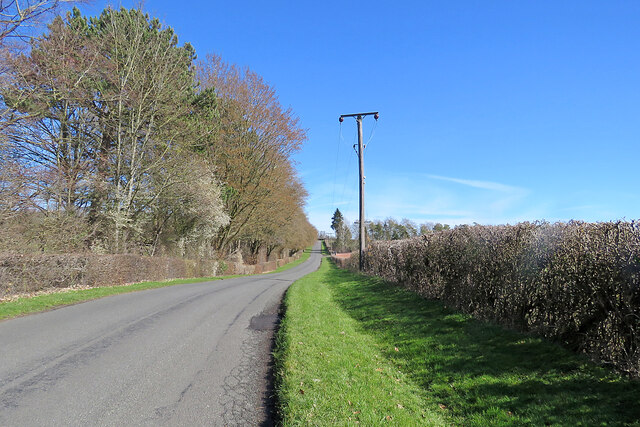
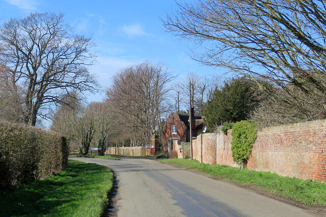
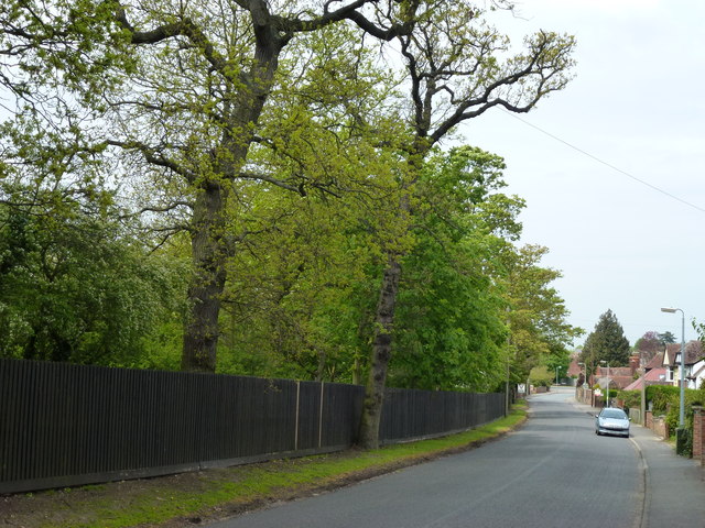
Located in Cambridgeshire, Sandpit Plantation is a picturesque woodland area known for its diverse range of trees and natural beauty. Covering an approximate area of several hectares, it is a popular destination for nature enthusiasts, hikers, and birdwatchers.

The plantation boasts a rich assortment of tree species, including oak, ash, birch, and beech, creating a dense and vibrant forest. The woodland floor is adorned with a carpet of wildflowers and ferns, adding to the enchanting atmosphere of the area. The plantation is also home to various wildlife, such as deer, rabbits, and a plethora of bird species, making it an ideal location for nature lovers.

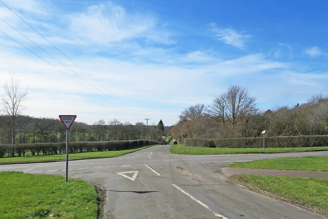
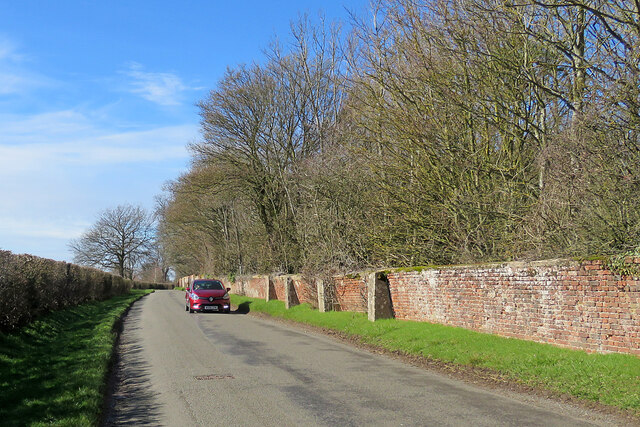
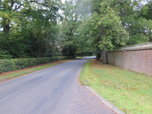
A network of well-maintained footpaths and trails winds its way through the plantation, offering visitors the opportunity to explore the woodland at their own pace. These paths provide access to the plantation's most scenic spots, including a tranquil pond and a viewpoint that offers stunning views of the surrounding countryside.

Sandpit Plantation is a haven for those seeking solace in nature. Its peaceful ambiance and secluded location make it an excellent spot for picnics, photography, or simply unwinding amidst the tranquility of the forest. The plantation is open to the public year-round, with no admission fee, and is easily accessible by car or public transportation.

Overall, Sandpit Plantation in Cambridgeshire is a remarkable woodland area, showcasing the beauty of nature through its diverse range of trees, wildlife, and scenic views. Whether it's for a leisurely stroll, birdwatching, or simply enjoying the serenity of the forest, this plantation offers an unforgettable experience for visitors of all ages.

If you have any feedback on the listing, please let us know in the comments section below.

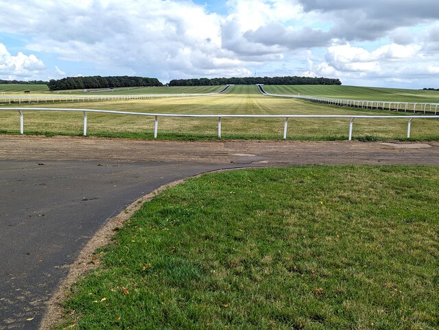
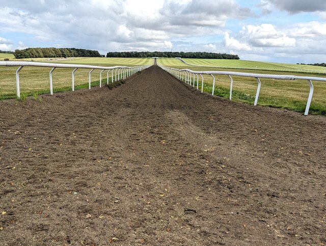
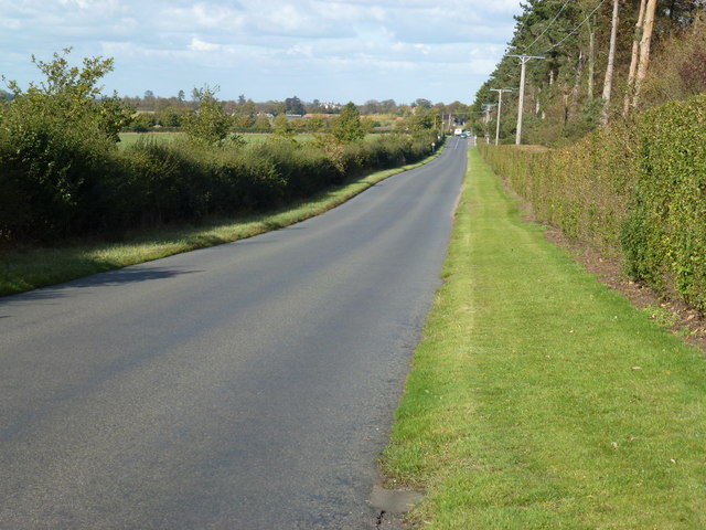
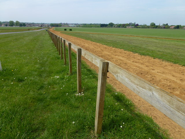
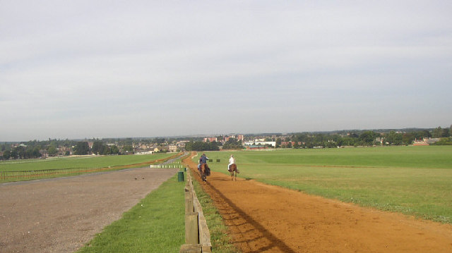
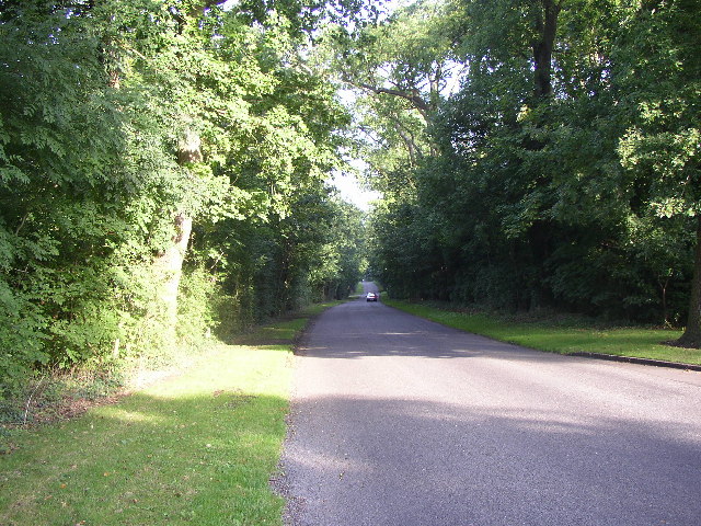
Sandpit Plantation Images

Images are sourced within 2km of 52.232391/0.43530104 or Grid Reference TL6662. Thanks to Geograph Open Source API. All images are credited.

Uphill to the crossroads The road from Dullingham and Stetchworth to Cheveley (ahead), photographed on a bright March morning. Early blossom shows in some trees and the hedgerow on the left.
Uphill to the crossroads
The road from Dullingham and Stetchworth to Cheveley (ahead), photographed on a bright March morning. Early blossom shows in some trees and the hedgerow on the left.
Give way at the crossroads This is where the road from Cheveley to Stetchworth and Dullingham (ahead) crosses the road from Kirtling and Saxon Street (left) to Newmarket.
Give way at the crossroads
This is where the road from Cheveley to Stetchworth and Dullingham (ahead) crosses the road from Kirtling and Saxon Street (left) to Newmarket.
Park Road and the entrance to Cheveley Park Stud-farm country south of Newmarket. The lodge on the right is at the gate to Cheveley Park Stud. The road forks here: straight on for Newmarket, left for Stetchworth and Dullingham.
Park Road and the entrance to Cheveley Park
Stud-farm country south of Newmarket. The lodge on the right is at the gate to Cheveley Park Stud. The road forks here: straight on for Newmarket, left for Stetchworth and Dullingham.
On Park Road in early spring The leaning and buttressed wall encloses Cheveley Park Stud.
On Park Road in early spring
The leaning and buttressed wall encloses Cheveley Park Stud.
Warren Hill racehorse training gallops in Newmarket
Polytrack racehorse training gallop up Warren Hill, Newmarket
Woodditton Road heading to Newmarket
On the map but not in the photo? Sand gallops on Warren Hill Newmarket.
What you can't see is the railway under the gallops or the Suffolk/Cambridgeshire border
On the map but not in the photo?
Sand gallops on Warren Hill Newmarket. What you can't see is the railway under the gallops or the Suffolk/Cambridgeshire border
Duchess Drive, Newmarket Houses one side and horses on the other
Duchess Drive, Newmarket
Houses one side and horses on the other
Grand entrance to Hadrian Stud, Newmarket On Woodditton Road south of the town
Grand entrance to Hadrian Stud, Newmarket
On Woodditton Road south of the town
Duchess Drive at Gateways Looking north-westward.
Duchess Drive at Gateways
Looking north-westward.
Warren Hill Gallops Looking northward from the Triangulation Pillar.
Warren Hill Gallops
Looking northward from the Triangulation Pillar.
Ordnance Survey Flush Bracket 1374 This can be found on the wall of Cheveley South-West Lodge - a private dwelling.
For more detail see: <span class="nowrap"><a title="http://www.bench-marks.org.uk/bm1870" rel="nofollow ugc noopener" href="http://www.bench-marks.org.uk/bm1870">Link</a><img style="margin-left:2px;" alt="External link" title="External link - shift click to open in new window" src="https://s1.geograph.org.uk/img/external.png" width="10" height="10"/></span>
Ordnance Survey Flush Bracket 1374
This can be found on the wall of Cheveley South-West Lodge - a private dwelling. For more detail see: LinkExternal link
Park House, Newmarket, Suffolk Park House is part of the Warren Park Stud. Photo taken through the gates on Moulton Road near spot height 88m
Park House, Newmarket, Suffolk
Park House is part of the Warren Park Stud. Photo taken through the gates on Moulton Road near spot height 88m
Riding Out, Newmarket, Suffolk Riders out exercising the race horses. Looking NW over Long Hill from beside Warren Towers on the Newmarket-Moulton Road.
Riding Out, Newmarket, Suffolk
Riders out exercising the race horses. Looking NW over Long Hill from beside Warren Towers on the Newmarket-Moulton Road.
Riding Home, Newmarket, Suffolk Race Horses on the famous Warren Hill. Photo taken from the car park, looking west towards Newmarket town
Riding Home, Newmarket, Suffolk
Race Horses on the famous Warren Hill. Photo taken from the car park, looking west towards Newmarket town
Give Way 120 Yds Looking towards Newmarket, Suffolk along Duchess's Drive. The junction is that of B1063 and B1103
Give Way 120 Yds
Looking towards Newmarket, Suffolk along Duchess's Drive. The junction is that of B1063 and B1103
Tree Lined Avenue Taken from  outside the Chevely Park Stud, looking towards Newmarket, Suffolk along Duchess's Drive
Tree Lined Avenue
Taken from outside the Chevely Park Stud, looking towards Newmarket, Suffolk along Duchess's Drive
Show me another place!

Sandpit Plantation is located at Grid Ref: TL6662 (Lat: 52.232391, Lng: 0.43530104)

Administrative County: Cambridgeshire

District: East Cambridgeshire

Police Authority: Cambridgeshire

What 3 Words

///helpless.kings.signed. Near Newmarket, Suffolk

Related Wikis

Beech House Stud

Beech House Stud is an English Thoroughbred racehorse breeding farm located on Cheveley Road near Newmarket, Suffolk currently owned by Sheikh Hamdan bin...
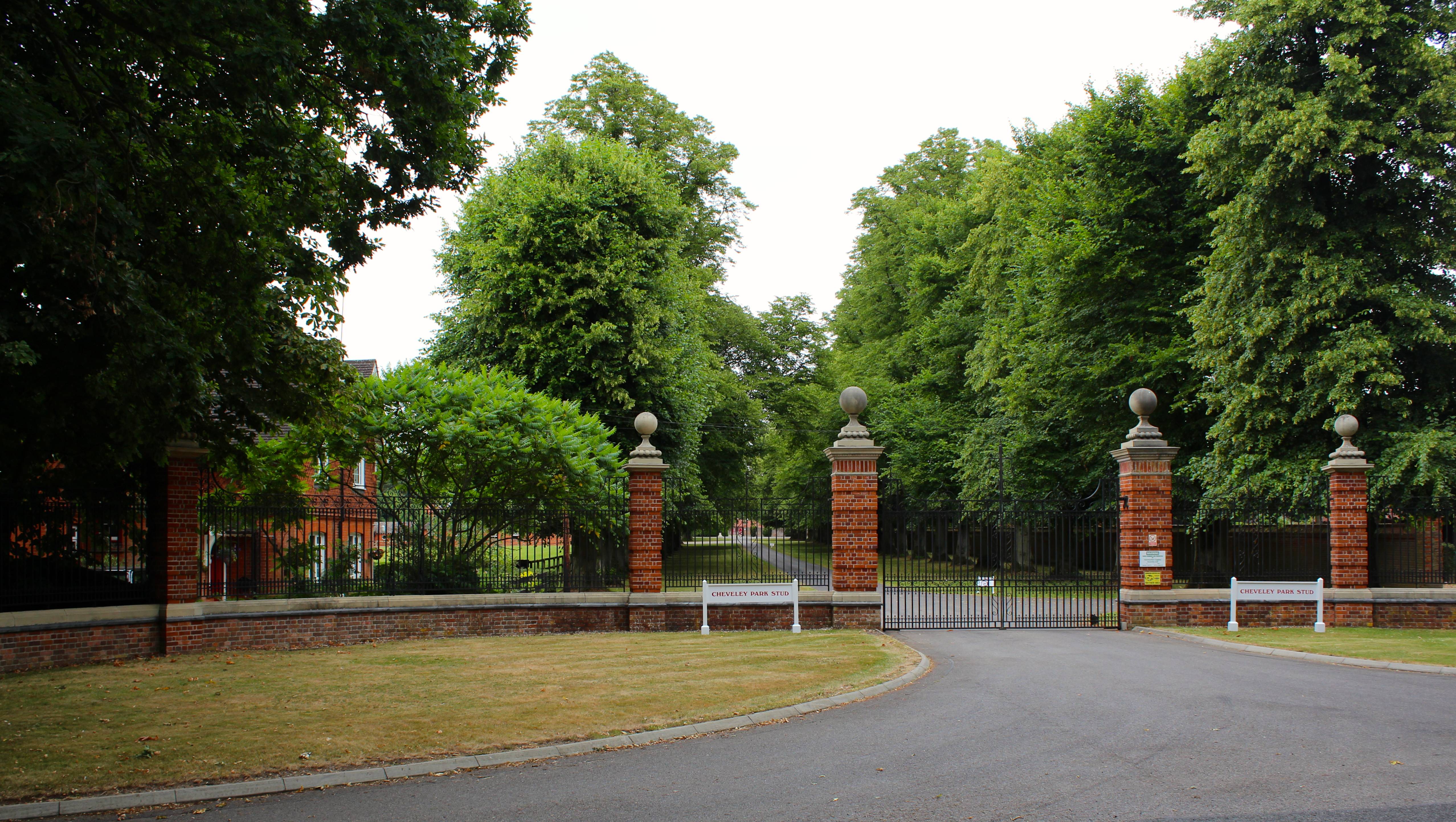
Cheveley Park Stud

Cheveley Park Stud is a thoroughbred racehorse ownership and breeding operation in Newmarket, Suffolk, UK, which has bred and owned many notable horses...

Cheveley Castle

Cheveley Castle was a medieval fortified manor house near Cheveley, Cambridgeshire, England. == Details == Cheveley Castle was built by Sir John Pulteney...

Newmarket Town F.C.

Newmarket Town Football Club is a football club based in Newmarket, Suffolk, England. Affiliated to the Suffolk County FA, they are currently members of...

East of England

The East of England is one of the nine official regions of England in the United Kingdom. This region was created in 1994 and was adopted for statistics...

Newmarket railway station (Suffolk)

Newmarket railway station (Suffolk) was opened by the Great Eastern Railway on 7 April 1902. It is on the Ipswich–Ely line and is 800 yards (730 m) south...

Cheveley

The village of Cheveley is situated in the county of Cambridgeshire and lies about four miles east-south-east of the market town of Newmarket. The population...

Newmarket, Suffolk

Newmarket is a market town and civil parish in the West Suffolk district of Suffolk, England. Located (14 miles) west of Bury St Edmunds and (14 miles...

Nearby Amenities

Located within 500m of 52.232391,0.43530104
Turning Circle
Lat/Long: 52.2351861/0.4300998
Access: customers
Leisure: firepit
Lat/Long: 52.2311765/0.4302297
The data included in this document is from www.openstreetmap.org. The data is made available under ODbL.

Have you been to Sandpit Plantation?

Leave your review of Sandpit Plantation below (or comments, questions and feedback).