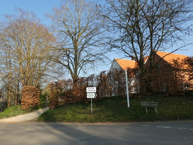
Aston Tirrold

Settlement in Berkshire South Oxfordshire

England

Aston Tirrold

Path to Cholsey From Aston Tirrold a concrete path at this point to Cholsey
Path to Cholsey Credit: Shaun Ferguson

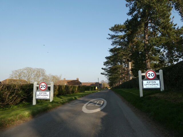
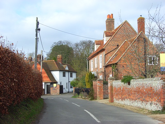
Aston Tirrold is a small village located in the county of Berkshire, England. Situated about 5 miles south-east of Didcot, it is part of the civil parish of Aston Tirrold and Upthorpe. The village is nestled in the heart of the picturesque North Wessex Downs, an Area of Outstanding Natural Beauty.

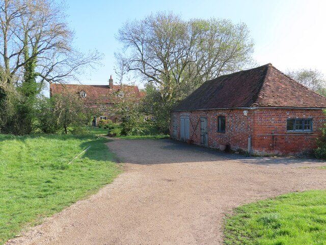
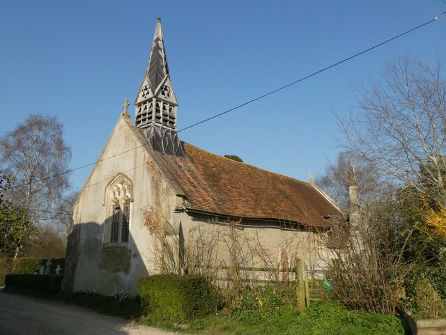
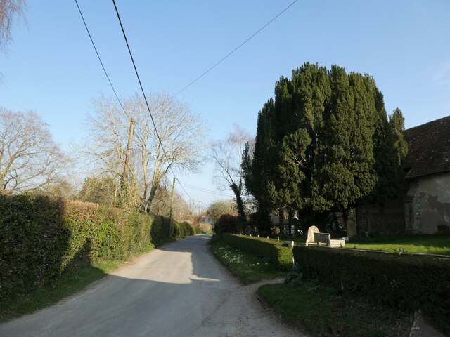
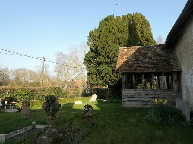
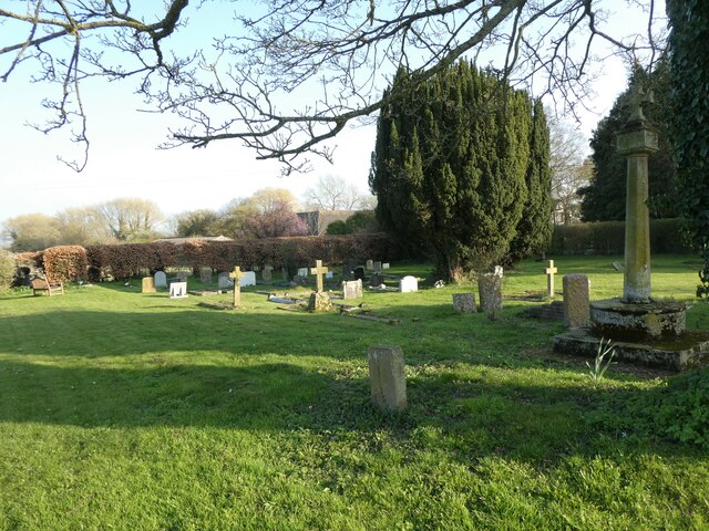
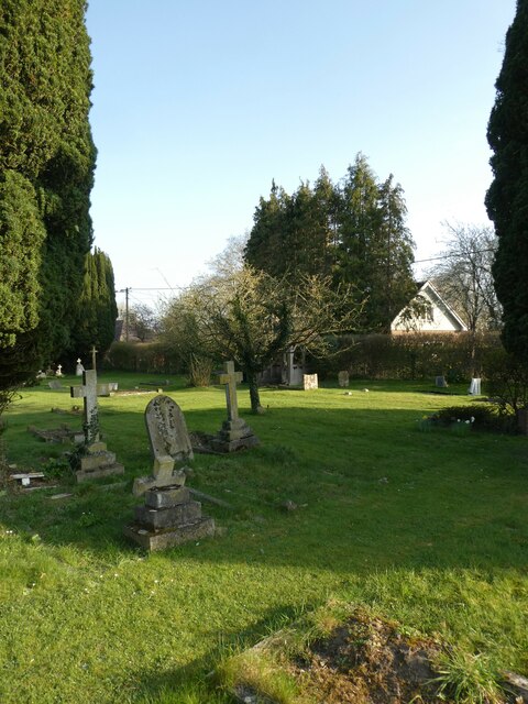
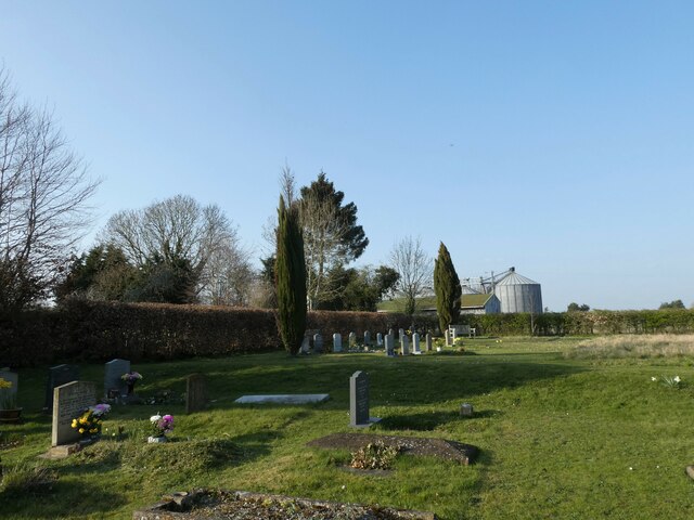
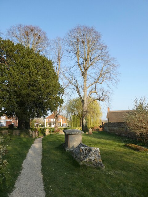
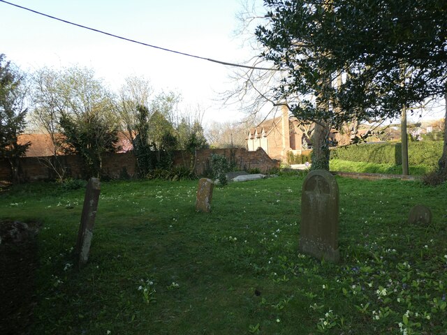
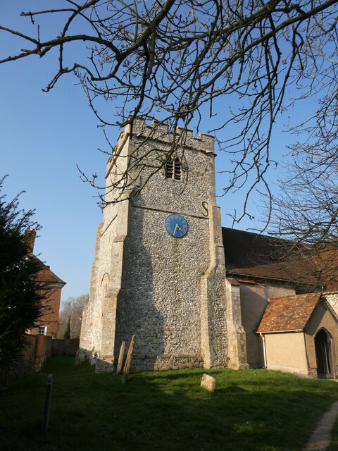
Aston Tirrold is known for its charming rural setting and traditional English village atmosphere. It boasts a rich history that dates back to the Norman era, with evidence of human settlement in the area even earlier. The village is home to several historic buildings, including the 12th-century Church of St. Michael and All Angels, which is renowned for its beautiful stained glass windows and intricate stonework.

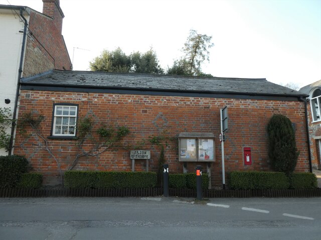
The local community is closely knit, and the village has a strong sense of community spirit. Aston Tirrold has a number of amenities to serve its residents, including a village hall, a primary school, and a pub. The village also benefits from its proximity to larger towns and cities, with easy access to shopping centers, healthcare facilities, and transport links.

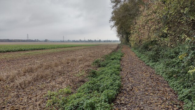
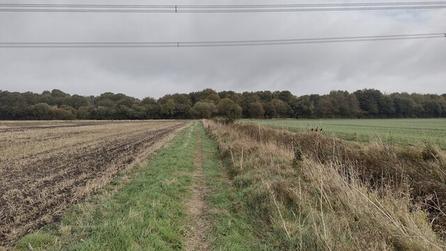
For nature enthusiasts, Aston Tirrold offers plenty of opportunities for outdoor activities. The surrounding countryside is ideal for walking, cycling, and horse riding, with numerous footpaths and bridleways to explore. The village is also close to the Ridgeway National Trail, a popular long-distance walking path that stretches for 87 miles across ancient landscapes.

In summary, Aston Tirrold is a charming village with a rich history, surrounded by beautiful countryside. Its close-knit community and range of amenities make it an ideal place to live for those seeking a peaceful and picturesque rural lifestyle.

If you have any feedback on the listing, please let us know in the comments section below.

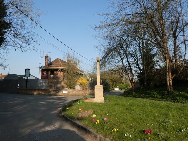
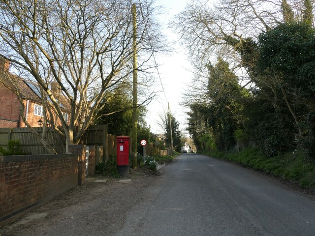
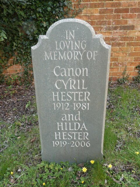
Aston Tirrold Images

Images are sourced within 2km of 51.567789/-1.199591 or Grid Reference SU5585. Thanks to Geograph Open Source API. All images are credited.

Path to Cholsey From Aston Tirrold a concrete path at this point to Cholsey
Path to Cholsey
From Aston Tirrold a concrete path at this point to Cholsey
Path to Cholsey From Aston Tirrold the path to Cholsey nearing The Lees where it follows the tree line to the right
Path to Cholsey
From Aston Tirrold the path to Cholsey nearing The Lees where it follows the tree line to the right
Lollingdon House Lollingdon House, which is an old Moated manor house and dates back to the Domesday book. The moat is a little way in the distance near the end of the drive. At the time of the photo the house was empty though it was sold back in February, the former owner, I'm told, passed away.
Lollingdon House
Lollingdon House, which is an old Moated manor house and dates back to the Domesday book. The moat is a little way in the distance near the end of the drive. At the time of the photo the house was empty though it was sold back in February, the former owner, I'm told, passed away.
All Saints, Aston Upthorpe
You are now entering...Aston Upthorpe
Looking east-northeast along Thorpe Street
All Saints, Aston Upthorpe: churchyard
St Michael's Cemetery (1)
St Michael's Cemetery (2)
St Michael's Cemetery (3)
Rush hour in Aston Upthorpe
Rush hour in Aston Tirrold
Aston Tirrold War Memorial: late March 2022
Post box in Baker Street
St Michael's Churchyard (1)
St Michael's Churchyard (2) Canon Hester was born in 1912 and educated at King's College London <span class="nowrap"><a title="https://en.wikipedia.org/wiki/King%27s_College_London" rel="nofollow ugc noopener" href="https://en.wikipedia.org/wiki/King%27s_College_London">Link</a><img style="margin-left:2px;" alt="External link" title="External link - shift click to open in new window" src="https://s1.geograph.org.uk/img/external.png" width="10" height="10"/></span> He was ordained Deacon in 1941 and Priest in 1942. After a curacy at Whitton <span class="nowrap"><a title="https://en.wikipedia.org/wiki/Whitton,_London#Churches" rel="nofollow ugc noopener" href="https://en.wikipedia.org/wiki/Whitton,_London#Churches">Link</a><img style="margin-left:2px;" alt="External link" title="External link - shift click to open in new window" src="https://s1.geograph.org.uk/img/external.png" width="10" height="10"/></span> he was Succentor at Leicester Cathedral He held incumbencies at Ravenstone <span class="nowrap"><a title="https://en.wikipedia.org/wiki/Ravenstone,_Buckinghamshire" rel="nofollow ugc noopener" href="https://en.wikipedia.org/wiki/Ravenstone,_Buckinghamshire">Link</a><img style="margin-left:2px;" alt="External link" title="External link - shift click to open in new window" src="https://s1.geograph.org.uk/img/external.png" width="10" height="10"/></span> Wooburn <span class="nowrap"><a title="https://en.wikipedia.org/wiki/Wooburn" rel="nofollow ugc noopener" href="https://en.wikipedia.org/wiki/Wooburn">Link</a><img style="margin-left:2px;" alt="External link" title="External link - shift click to open in new window" src="https://s1.geograph.org.uk/img/external.png" width="10" height="10"/></span> Buckingham <span class="nowrap"><a title="https://en.wikipedia.org/wiki/Buckingham" rel="nofollow ugc noopener" href="https://en.wikipedia.org/wiki/Buckingham">Link</a><img style="margin-left:2px;" alt="External link" title="External link - shift click to open in new window" src="https://s1.geograph.org.uk/img/external.png" width="10" height="10"/></span> and Wallingford <span class="nowrap"><a title="https://en.wikipedia.org/wiki/Wallingford,_Oxfordshire" rel="nofollow ugc noopener" href="https://en.wikipedia.org/wiki/Wallingford,_Oxfordshire">Link</a><img style="margin-left:2px;" alt="External link" title="External link - shift click to open in new window" src="https://s1.geograph.org.uk/img/external.png" width="10" height="10"/></span> before coming here.
St Michael's Churchyard (2)
Canon Hester was born in 1912 and educated at King's College London LinkExternal link He was ordained Deacon in 1941 and Priest in 1942. After a curacy at Whitton LinkExternal link he was Succentor at Leicester Cathedral He held incumbencies at Ravenstone LinkExternal link Wooburn LinkExternal link Buckingham LinkExternal link and Wallingford LinkExternal link before coming here.
St Michael's Churchyard (3)
St Michael's Churchyard (4)
Show me another place!

Aston Tirrold is located at Grid Ref: SU5585 (Lat: 51.567789, Lng: -1.199591)

Administrative County: Oxfordshire

District: South Oxfordshire

Police Authority: Thames Valley

What 3 Words

///tequila.mastering.grad. Near Blewbury, Oxfordshire

Related Wikis

Aston Tirrold

Aston Tirrold is a village and civil parish at the foot of the Berkshire Downs about 3 miles (5 km) southeast of Didcot. It was part of Berkshire until...

Aston Upthorpe

Aston Upthorpe is a village and civil parish about 3 miles (5 km) southeast of Didcot in South Oxfordshire. It was part of Berkshire until the 1974 boundary...

Blewburton Hill

Blewburton Hill is the site of an Iron Age hillfort located in Oxfordshire, in the southeast of England. It was a univallate hillfort (with a single rampart...

Blewbury

Blewbury is a village and civil parish at the foot of the Berkshire Downs section of the North Wessex Downs about 4 miles (6.4 km) south of Didcot, 14...

South Moreton Castle

South Moreton Castle was an 11th-century castle in the village of South Moreton, Oxfordshire, (historically in Berkshire until the 1974 reorganisation...

South Moreton

South Moreton is a village and civil parish in South Oxfordshire, England, about 3 miles (5 km) east of Didcot, 4 miles (6.4 km) west of Wallingford, and...

Aston Upthorpe Downs

Aston Upthorpe Downs is a 38.5-hectare (95-acre) biological Site of Special Scientific Interest south of Aston Upthorpe in Oxfordshire. It is a Nature...

Cholsey railway station

Cholsey railway station (previously Cholsey & Moulsford) serves the village of Cholsey in south Oxfordshire, England, and the nearby town of Wallingford...

Related Videos

Going to the UK! And walking through the beautiful town of Blewbury!!

Jan and I are going on two week trip to the UK! The first week we stayed at a wonderful Airbnb in Blewbury, a beautiful little town!

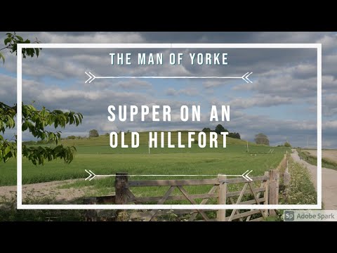
Supper on an old Hillfort | Hiking and History | Adventure Ep 14 | HD Quality.

Me and Rachel hike a circular route from Blewbury to Lowbury hill then up to Blewburton Hillfort where we have a quick tea.

Oxfordshire 2.4 mile circular walk: Blewbury

Blewbury: 2.4 mile circular walk Guided Walk: https://www.alltrails.com/explore/trail/england/oxfordshire/blewbury-chalk-pit?u=i.

South Moreton Boxing Club 28/10/2023Bout 11 Cyrus Macintyre #boxing

South Moreton Boxing Club 28/10/2023 Bout 11 Cyrus Macintyre Oxfords Most Wanted Raising funds and awareness for The ...

Nearby Amenities

Located within 500m of 51.567789,-1.199591
Aston Tirrold
Created By: Potlatch 0.10f
Place: village
Lat/Long: 51.5700494/-1.1969165
Bus Stop
The Close
Naptan AtcoCode: 340000060AS
Naptan Bearing: N
Naptan CommonName: The Close
Naptan Indicator: Outside
Naptan Landmark: The Close
Naptan NaptanCode: oxfamgja
Naptan Street: Aston Street
Naptan Verified: no
Source: naptan_import
Lat/Long: 51.5685164/-1.1985795
The Close
Naptan AtcoCode: 340000060PO
Naptan Bearing: S
Naptan BusStopType: CUS
Naptan CommonName: The Close
Naptan Indicator: Opposite
Naptan Landmark: The Close
Naptan NaptanCode: oxfamgdt
Naptan Street: Aston Street
Naptan Verified: no
Source: naptan_import
Lat/Long: 51.568408/-1.1984948
Bus Stop
The Chequers PH
Naptan AtcoCode: 340000822CHQ
Naptan Bearing: NE
Naptan CommonName: The Chequers PH
Naptan Indicator: Fullers Road Junction
Naptan Landmark: The Chequers PH
Naptan NaptanCode: oxfapgpt
Naptan Street: Fullers Road
Naptan Verified: no
Source: naptan_import
Lat/Long: 51.5715778/-1.20183
The Chequers PH
Naptan AtcoCode: 340000822OPP
Naptan Bearing: W
Naptan BusStopType: CUS
Naptan CommonName: The Chequers PH
Naptan Indicator: Opposite
Naptan Landmark: The Chequers PH
Naptan NaptanCode: oxfgjwdp
Naptan Street: Baker Street
Naptan Verified: no
Source: naptan_import
Lat/Long: 51.5715603/-1.2013339
Barrier: kissing_gate
Lat/Long: 51.5709462/-1.1947158
Historic: memorial
Memorial: war_memorial
Lat/Long: 51.5714802/-1.2017199
Power: pole
Source: Bing
Lat/Long: 51.5676389/-1.2063235
Power: pole
Source: Bing
Lat/Long: 51.569271/-1.2060471
Power: pole
Source: Bing
Lat/Long: 51.5650113/-1.1988645
Power: pole
Source: Bing
Lat/Long: 51.5645369/-1.19808
Power: pole
Source: Bing
Lat/Long: 51.5667568/-1.2017105
Power: pole
Source: Bing
Lat/Long: 51.5638541/-1.1969494
Power: pole
Source: Bing
Lat/Long: 51.5672669/-1.2012491
Power: pole
Source: Bing
Lat/Long: 51.56613/-1.2006537
Power: pole
Source: Bing
Lat/Long: 51.5675104/-1.2045748
Power: pole
Source: Bing
Lat/Long: 51.567367/-1.2026975
Power: pole
Source: Bing
Lat/Long: 51.5638207/-1.1983708
Direction: 80
Generator Method: photovoltaic
Generator Output Electricity: yes
Generator Solar Modules: 7
Generator Source: solar
Generator Type: solar_photovoltaic_panel
Location: roof
Power: generator
Lat/Long: 51.5696273/-1.2001762
The data included in this document is from www.openstreetmap.org. The data is made available under ODbL.

Have you been to Aston Tirrold?

Leave your review of Aston Tirrold below (or comments, questions and feedback).