Aston Tirrold

Civil Parish in Berkshire South Oxfordshire

England

Aston Tirrold

Path to Cholsey From Aston Tirrold a concrete path at this point to Cholsey
Path to Cholsey Credit: Shaun Ferguson

Aston Tirrold is a civil parish located in the county of Berkshire, England. It is situated in the South East region of the country and falls within the district of South Oxfordshire. The parish covers an area of approximately 7.5 square kilometers and is home to a population of around 600 residents.

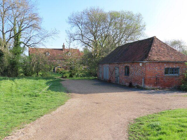
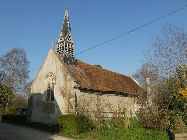
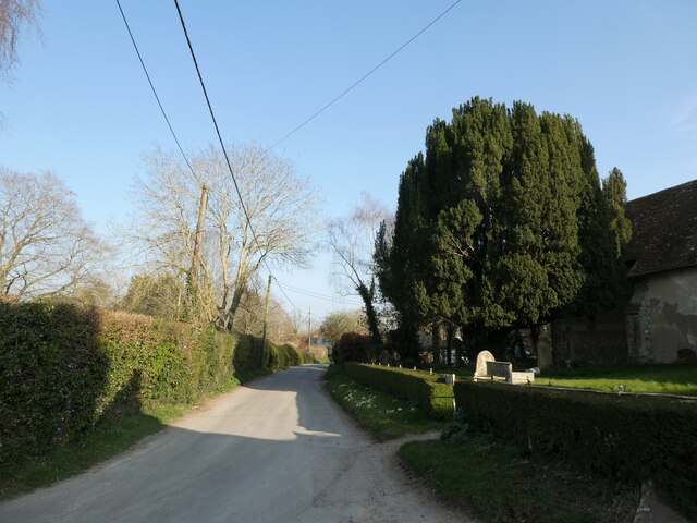
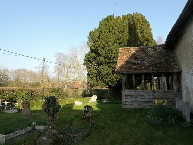
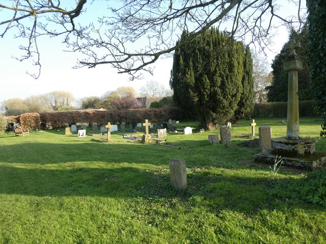
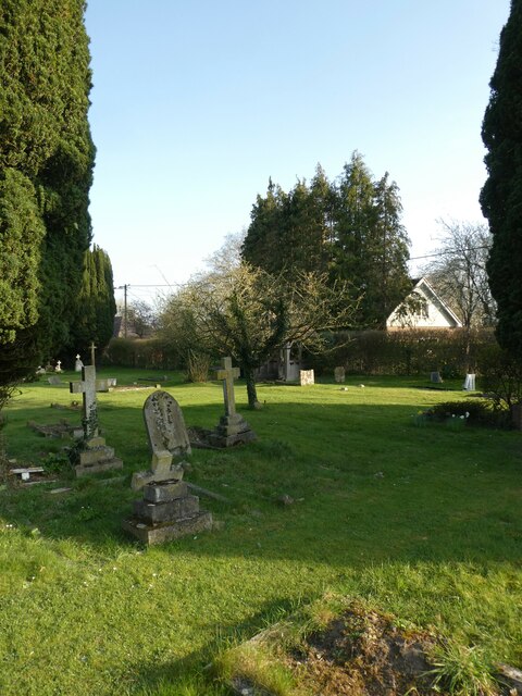
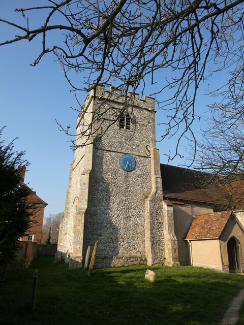
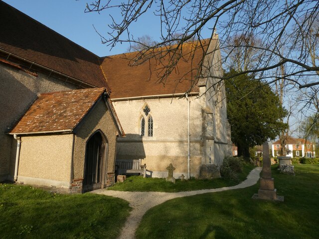
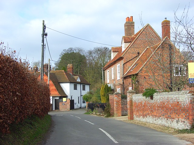
The village of Aston Tirrold is the main settlement within the parish. It is a picturesque and historic village with a rich heritage. The village is known for its traditional thatched cottages, charming village green, and St. Michael and All Angels Church, which dates back to the 12th century. The church is a notable feature of the village and is an important architectural and historical landmark.

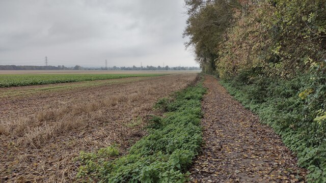
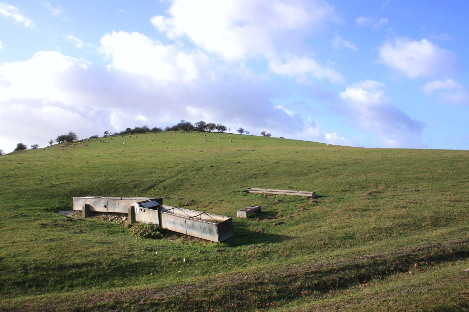
The parish is surrounded by beautiful countryside, offering residents and visitors plenty of opportunities for outdoor activities such as walking, hiking, and cycling. The area is characterized by rolling hills, fields, and woodlands, providing a tranquil and scenic environment.

Despite its small size, Aston Tirrold has a strong sense of community and offers a range of amenities and services to its residents. These include a village hall, a primary school, a pub, and a post office. The village also hosts various community events throughout the year, fostering a sense of togetherness and belonging.

Overall, Aston Tirrold is a charming and idyllic civil parish, offering a peaceful rural lifestyle with a strong community spirit.

If you have any feedback on the listing, please let us know in the comments section below.

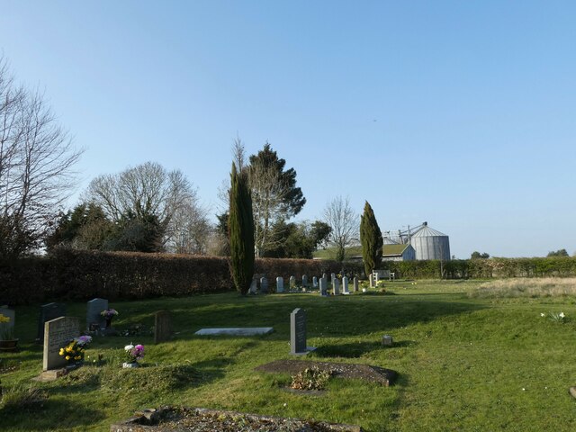
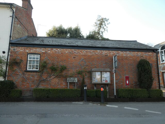
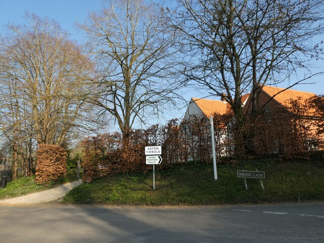
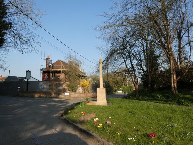
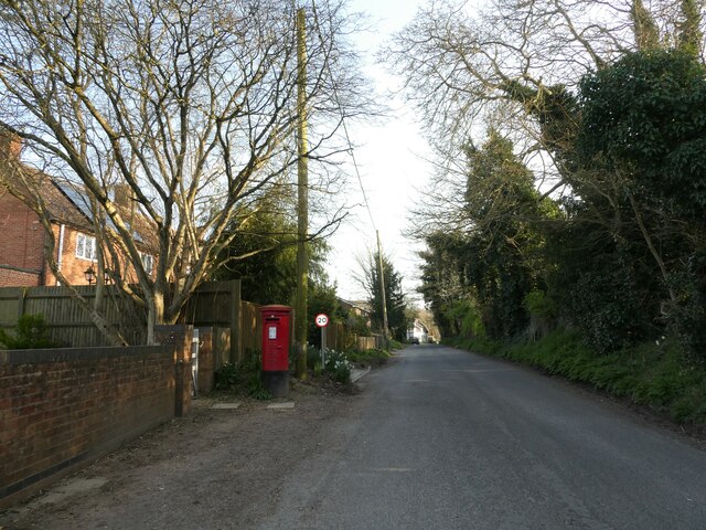
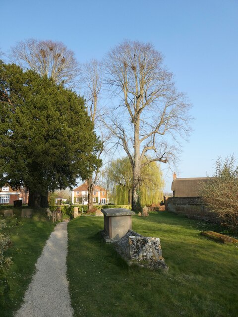
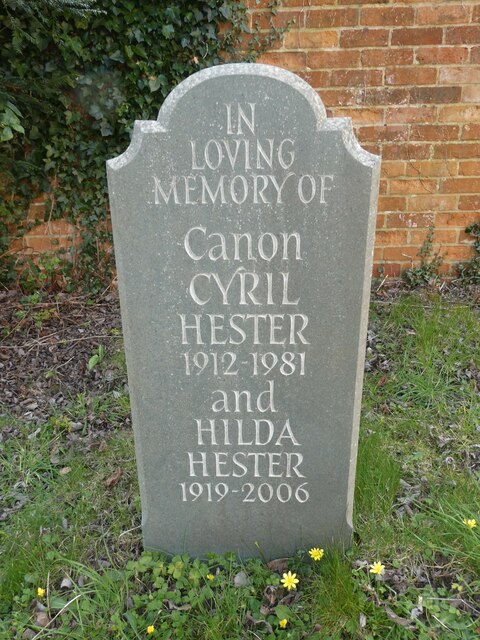
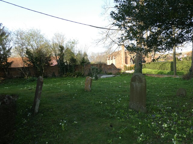
Aston Tirrold Images

Images are sourced within 2km of 51.561218/-1.195927 or Grid Reference SU5585. Thanks to Geograph Open Source API. All images are credited.

Path to Cholsey From Aston Tirrold a concrete path at this point to Cholsey
Path to Cholsey
From Aston Tirrold a concrete path at this point to Cholsey
Lollingdon House Lollingdon House, which is an old Moated manor house and dates back to the Domesday book. The moat is a little way in the distance near the end of the drive. At the time of the photo the house was empty though it was sold back in February, the former owner, I'm told, passed away.
Lollingdon House
Lollingdon House, which is an old Moated manor house and dates back to the Domesday book. The moat is a little way in the distance near the end of the drive. At the time of the photo the house was empty though it was sold back in February, the former owner, I'm told, passed away.
All Saints, Aston Upthorpe
You are now entering...Aston Upthorpe
Looking east-northeast along Thorpe Street
All Saints, Aston Upthorpe: churchyard
St Michael's Cemetery (1)
St Michael's Cemetery (2)
St Michael's Cemetery (3)
Rush hour in Aston Upthorpe
Rush hour in Aston Tirrold
Aston Tirrold War Memorial: late March 2022
Post box in Baker Street
St Michael's Churchyard (1)
St Michael's Churchyard (2) Canon Hester was born in 1912 and educated at King's College London <span class="nowrap"><a title="https://en.wikipedia.org/wiki/King%27s_College_London" rel="nofollow ugc noopener" href="https://en.wikipedia.org/wiki/King%27s_College_London">Link</a><img style="margin-left:2px;" alt="External link" title="External link - shift click to open in new window" src="https://s1.geograph.org.uk/img/external.png" width="10" height="10"/></span> He was ordained Deacon in 1941 and Priest in 1942. After a curacy at Whitton <span class="nowrap"><a title="https://en.wikipedia.org/wiki/Whitton,_London#Churches" rel="nofollow ugc noopener" href="https://en.wikipedia.org/wiki/Whitton,_London#Churches">Link</a><img style="margin-left:2px;" alt="External link" title="External link - shift click to open in new window" src="https://s1.geograph.org.uk/img/external.png" width="10" height="10"/></span> he was Succentor at Leicester Cathedral He held incumbencies at Ravenstone <span class="nowrap"><a title="https://en.wikipedia.org/wiki/Ravenstone,_Buckinghamshire" rel="nofollow ugc noopener" href="https://en.wikipedia.org/wiki/Ravenstone,_Buckinghamshire">Link</a><img style="margin-left:2px;" alt="External link" title="External link - shift click to open in new window" src="https://s1.geograph.org.uk/img/external.png" width="10" height="10"/></span> Wooburn <span class="nowrap"><a title="https://en.wikipedia.org/wiki/Wooburn" rel="nofollow ugc noopener" href="https://en.wikipedia.org/wiki/Wooburn">Link</a><img style="margin-left:2px;" alt="External link" title="External link - shift click to open in new window" src="https://s1.geograph.org.uk/img/external.png" width="10" height="10"/></span> Buckingham <span class="nowrap"><a title="https://en.wikipedia.org/wiki/Buckingham" rel="nofollow ugc noopener" href="https://en.wikipedia.org/wiki/Buckingham">Link</a><img style="margin-left:2px;" alt="External link" title="External link - shift click to open in new window" src="https://s1.geograph.org.uk/img/external.png" width="10" height="10"/></span> and Wallingford <span class="nowrap"><a title="https://en.wikipedia.org/wiki/Wallingford,_Oxfordshire" rel="nofollow ugc noopener" href="https://en.wikipedia.org/wiki/Wallingford,_Oxfordshire">Link</a><img style="margin-left:2px;" alt="External link" title="External link - shift click to open in new window" src="https://s1.geograph.org.uk/img/external.png" width="10" height="10"/></span> before coming here.
St Michael's Churchyard (2)
Canon Hester was born in 1912 and educated at King's College London LinkExternal link He was ordained Deacon in 1941 and Priest in 1942. After a curacy at Whitton LinkExternal link he was Succentor at Leicester Cathedral He held incumbencies at Ravenstone LinkExternal link Wooburn LinkExternal link Buckingham LinkExternal link and Wallingford LinkExternal link before coming here.
St Michael's Churchyard (3)
St Michael's Churchyard (4)
St Michael's Churchyard (5)
Show me another place!

Aston Tirrold is located at Grid Ref: SU5585 (Lat: 51.561218, Lng: -1.195927)

Administrative County: Oxfordshire

District: South Oxfordshire

Police Authority: Thames Valley

What 3 Words

///hardens.twitching.sides. Near Blewbury, Oxfordshire

Related Wikis

Aston Tirrold

Aston Tirrold is a village and civil parish at the foot of the Berkshire Downs about 3 miles (5 km) southeast of Didcot. It was part of Berkshire until...
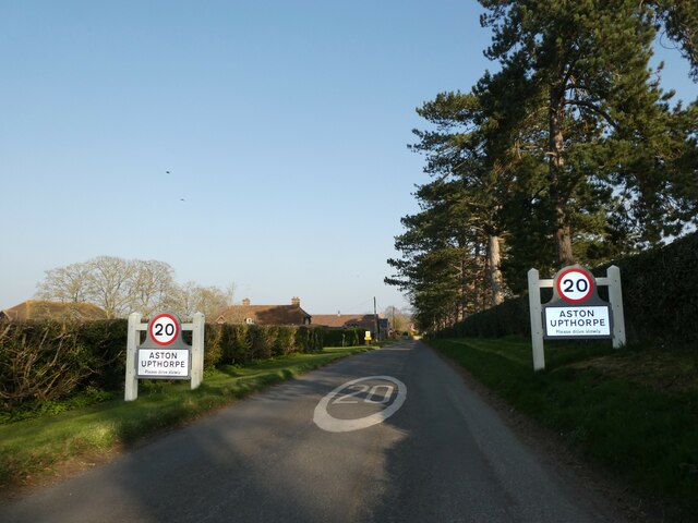
Aston Upthorpe

Aston Upthorpe is a village and civil parish about 3 miles (5 km) southeast of Didcot in South Oxfordshire. It was part of Berkshire until the 1974 boundary...

Blewburton Hill

Blewburton Hill is the site of an Iron Age hillfort located in Oxfordshire, in the southeast of England. It was a univallate hillfort (with a single rampart...

Aston Upthorpe Downs

Aston Upthorpe Downs is a 38.5-hectare (95-acre) biological Site of Special Scientific Interest south of Aston Upthorpe in Oxfordshire. It is a Nature...

Blewbury

Blewbury is a village and civil parish at the foot of the Berkshire Downs section of the North Wessex Downs about 4 miles (6.4 km) south of Didcot, 14...

Cholsey railway station

Cholsey railway station (previously Cholsey & Moulsford) serves the village of Cholsey in south Oxfordshire, England, and the nearby town of Wallingford...

South Moreton Castle

South Moreton Castle was an 11th-century castle in the village of South Moreton, Oxfordshire, (historically in Berkshire until the 1974 reorganisation...

Moulsford Downs

Moulsford Downs is a 13.6-hectare (34-acre) biological Site of Special Scientific Interest north-west of Goring-on-Thames in Oxfordshire.This chalk grassland...

Nearby Amenities

Located within 500m of 51.561218,-1.195927
Power: pole
Source: Bing
Lat/Long: 51.5624784/-1.1946856
Power: pole
Source: Bing
Lat/Long: 51.5617464/-1.1925157
Power: pole
Source: Bing
Lat/Long: 51.5606521/-1.1947869
Power: pole
Source: Bing
Lat/Long: 51.5650113/-1.1988645
Power: pole
Source: Bing
Lat/Long: 51.5612695/-1.1911371
Power: pole
Source: Bing
Lat/Long: 51.5645369/-1.19808
Power: pole
Source: Bing
Lat/Long: 51.5631955/-1.1958576
Power: pole
Source: Bing
Lat/Long: 51.5621166/-1.1936342
Power: pole
Source: Bing
Lat/Long: 51.5638541/-1.1969494
Power: pole
Source: Bing
Lat/Long: 51.5607877/-1.1896994
Power: pole
Source: Bing
Lat/Long: 51.5638207/-1.1983708
Power: pole
Lat/Long: 51.5631122/-1.1987168
The data included in this document is from www.openstreetmap.org. The data is made available under ODbL.

Have you been to Aston Tirrold?

Leave your review of Aston Tirrold below (or comments, questions and feedback).